Mount Adams White Salmon Glacier
To add to the confusion, there is also a White Salmon Glacier on a prominent Washington mountain (Shuksan being the other). I thought this terrain feature looked sooo cool on CalTopo but was unfortunately a bit more disappointing than expected.
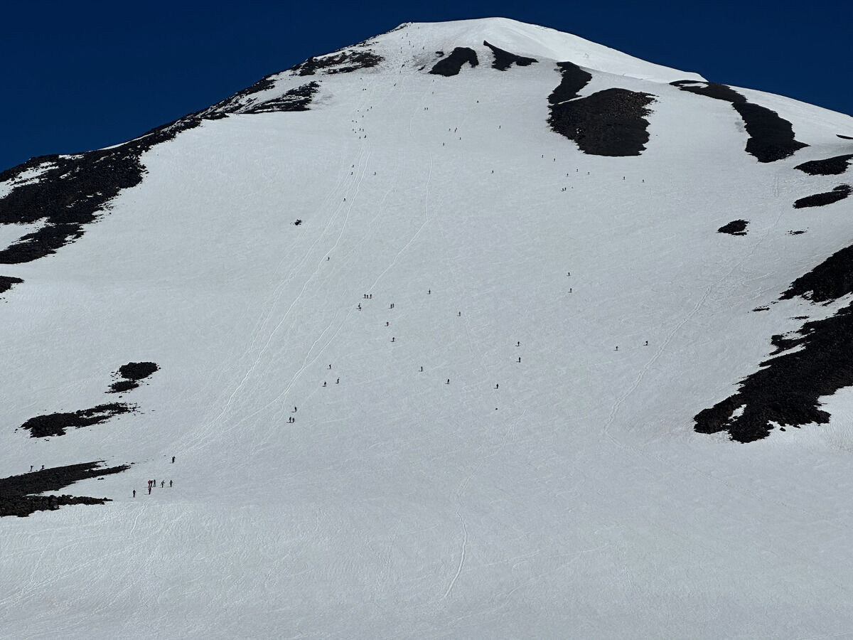 Second day of seeing ants going up the south side of Adams
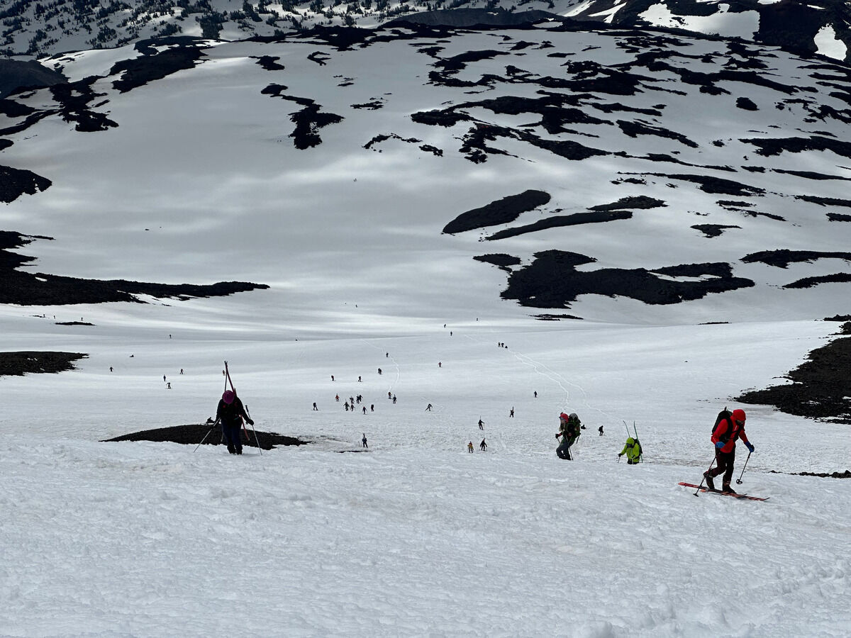 Not as many people since the forecast seemed a bit more iffy for corn
 See the clouds over the summit, corn o’clock uncertain
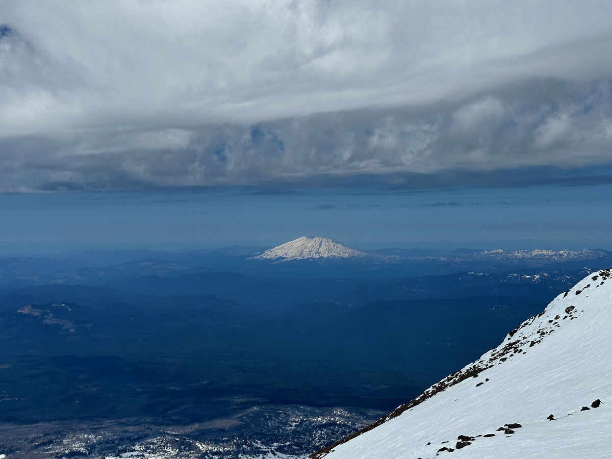 Helens
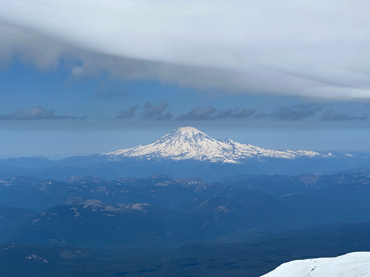 Rainier
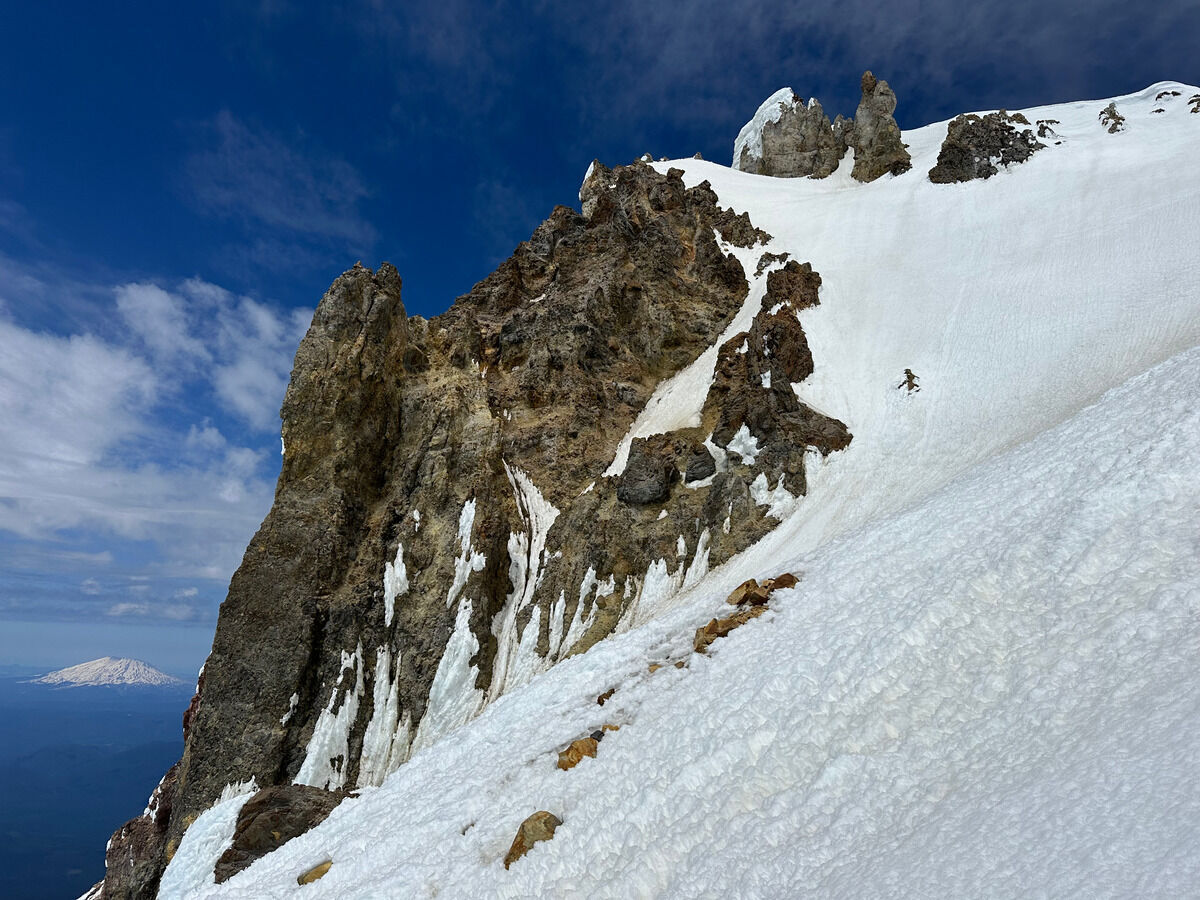 Starting down and seeing The Pinnacle’s wall
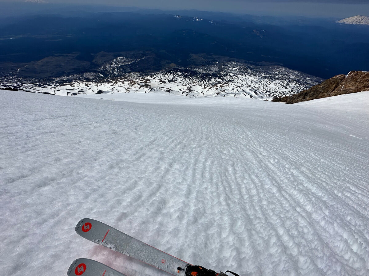 The smoooth consistent slope of the White Salmon Glacier.
I felt like I started a bit too early since the snow was firm on the initial descent.
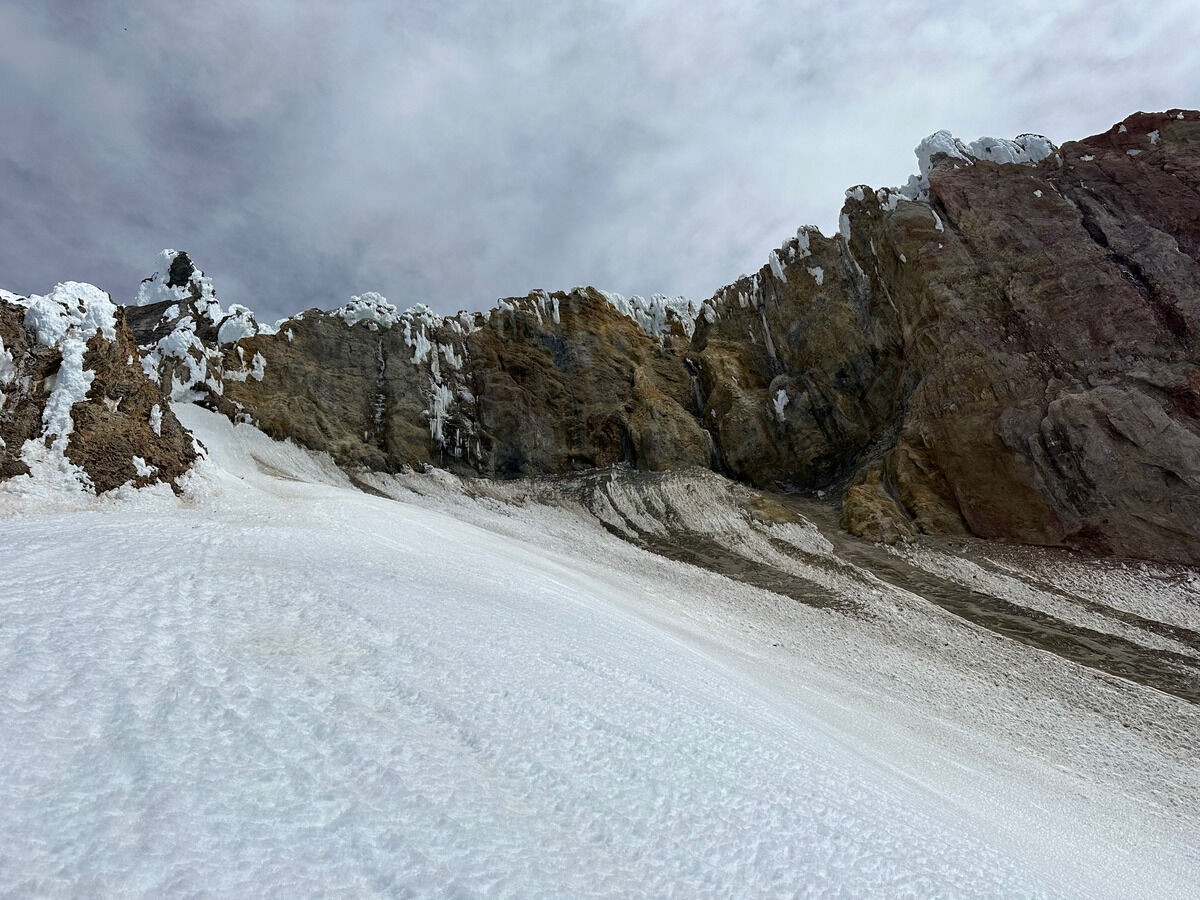 Top of the WSG gully feature
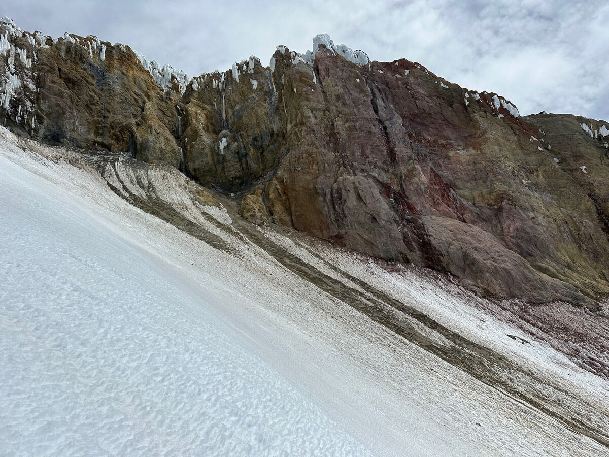 Panning right
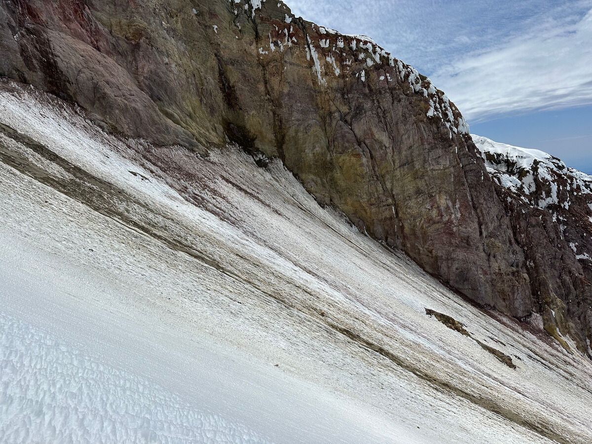 As you can see there are quite a bit of rocks in the gully, and it’s more lower angle than I wanted in order to have fun
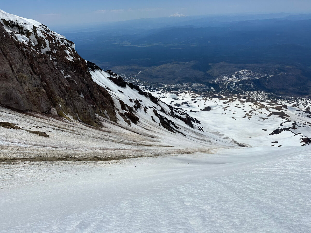 But on the bright side I ended up timing the corn perfectly since I’d be skiing the south-facing not-quite-fall-line slope of the gully. Not quite the gully proper, but at least it was steeper - just had to veer right every other turn or so.
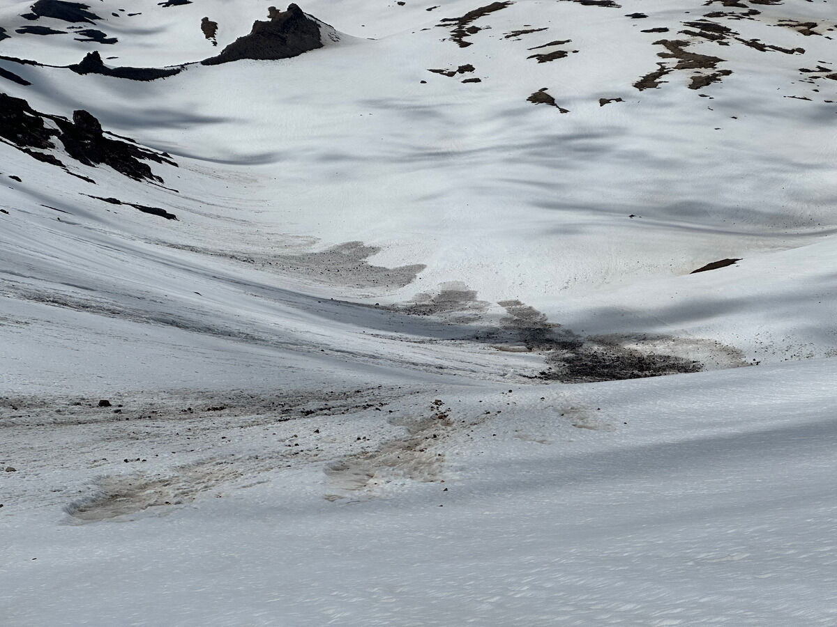 Rocks spilling out at the bottom.
My mistake was trying to traverse over this and its runnels to avoid having to skin back up, but really should have skied below this.
Aim for the rock feature near the top of the frame while staying low (or look into staying below it, I’m sure it goes).
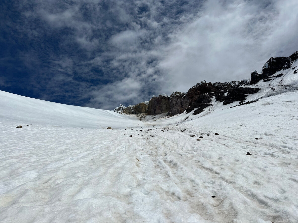 Looking back up the WSG gully
 Traversing across massive rock runnels
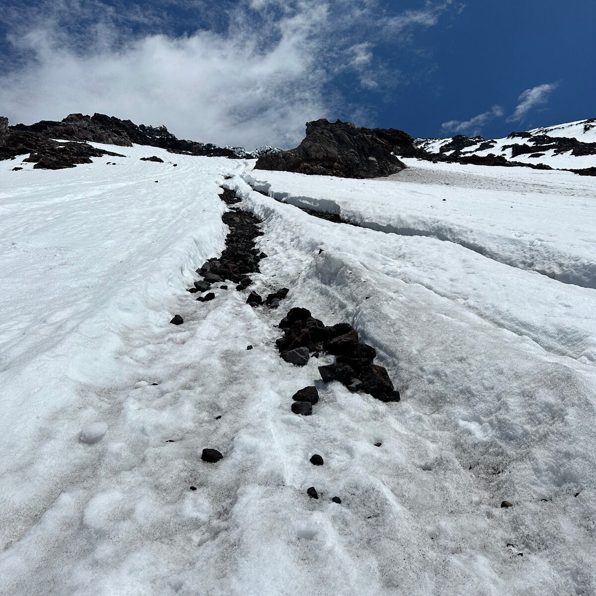 Bleh.
Got close to taking my skis off at one point but eeked through.
Notes
- This was probably ~15 miles and ~7700 feet of vertical gain in about 7 hours.
- Not sure I’d ski this gully slope again, but would be open to descending the entire smooth slope of the WSG proper. But that slope looks to be less steep than the SW Chutes while having the same aspect, and why would you opt for a longer day for that. SW Chutes + AG Headwall just seems like the money move for a guaranteed good day on the south side of Adams.
- For the AG Headwall line and this one in particular, I wonder if it’s better to go more flat fall line down the Avalanche Glacier and then crossing below rather than going over the dirt ridge at 8400 feet. This would also avoid all rock runnels.
- For any south side Adams line, I’d be curious about camping at the lower Morrison Creek Campground to avoid the dirt road and parking situation at the upper Cold Springs area. Looks to be another 900 feet of vert in exchange for slightly more fall line skiing at the end instead of doing that dreaded skin back up.
- By now I don’t think it matters if you take the South Climb or Suksdorf trail up, but I’d give the edge to the latter since you can avoid all steep/tricky sections.