El Diente Wilson Traverse, Wilson Peak
Checking out what I think is the more boring part of the San Juans, only because it’s so isolated from all of the other interesting peaks to the east. My second so called Great Fourtneer Traverses in Colorado.
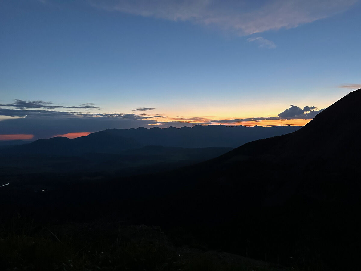 Longingly looking at sunrise over the cool part of San Juans
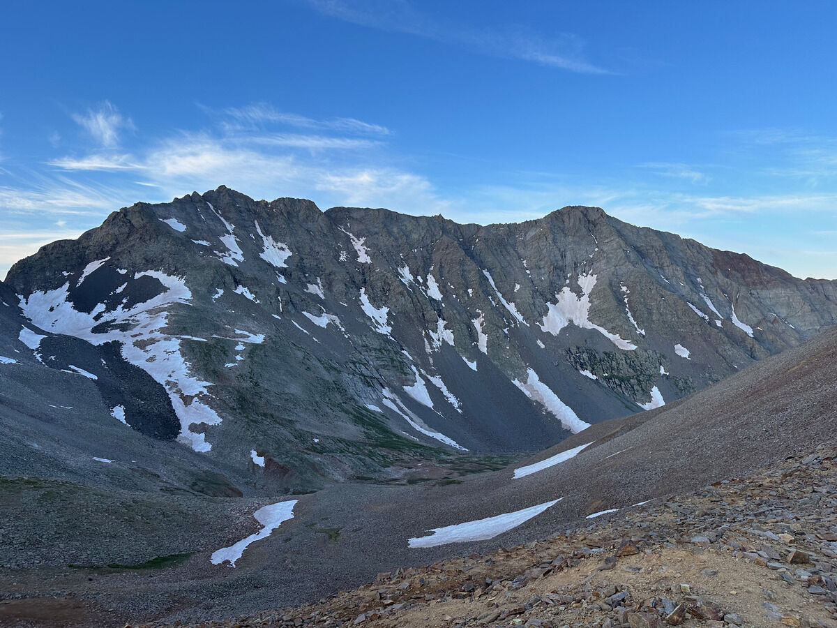 Seeing the ridge from Mount Wilson (left) to El Diente Peak (right).
I dipped down into the basin and climbed up the ridge/buttress going up El Diente.
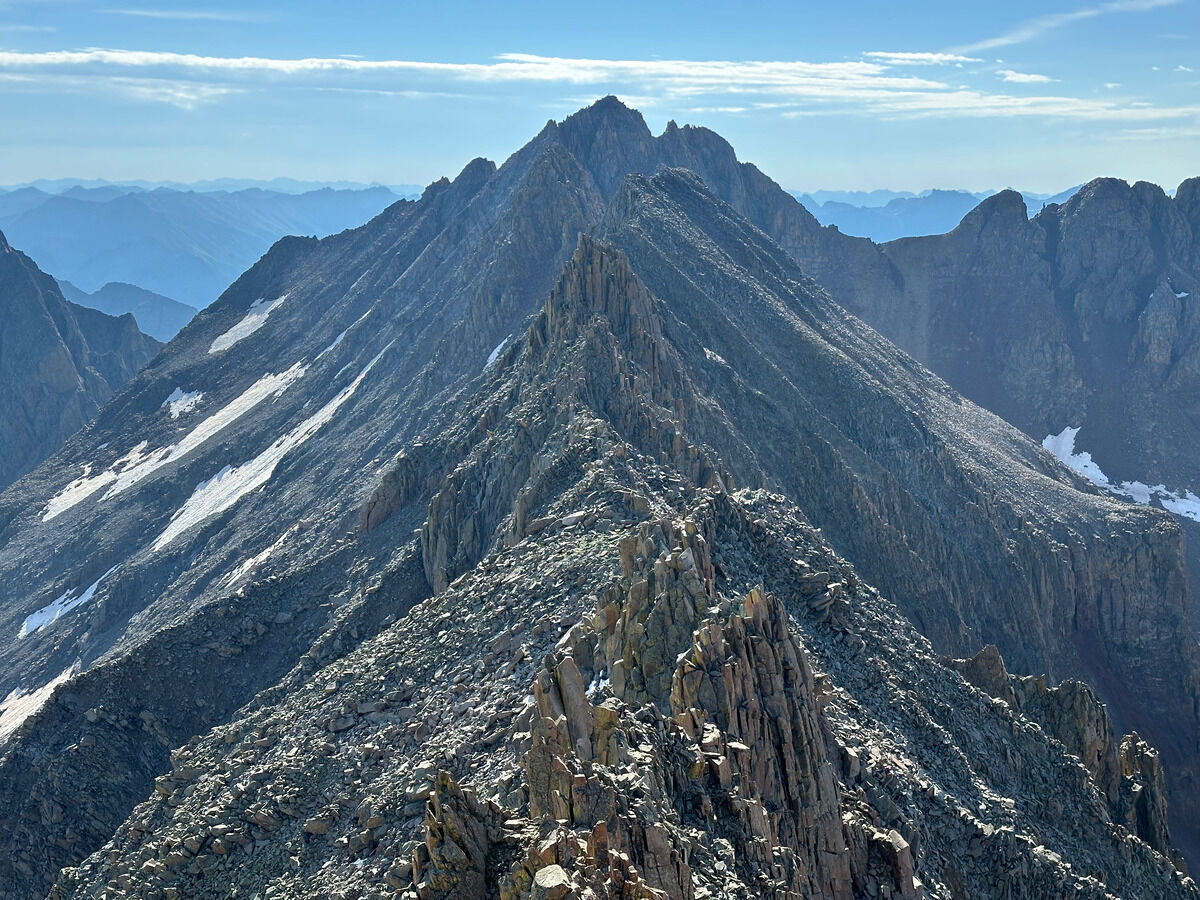 On El Diente looking at the ridge to Mount Wilson
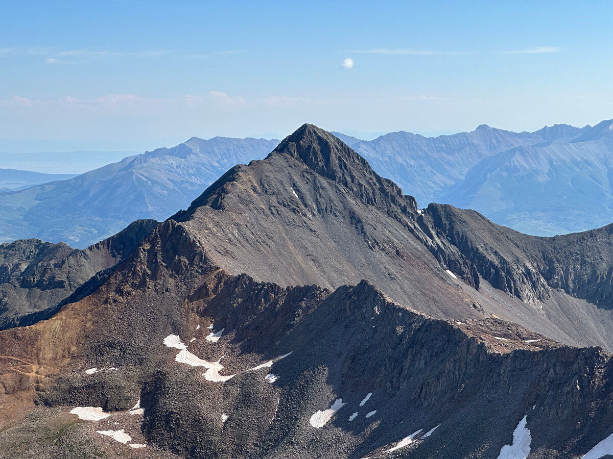 From Mount Wilson to Wilson Peak baby!
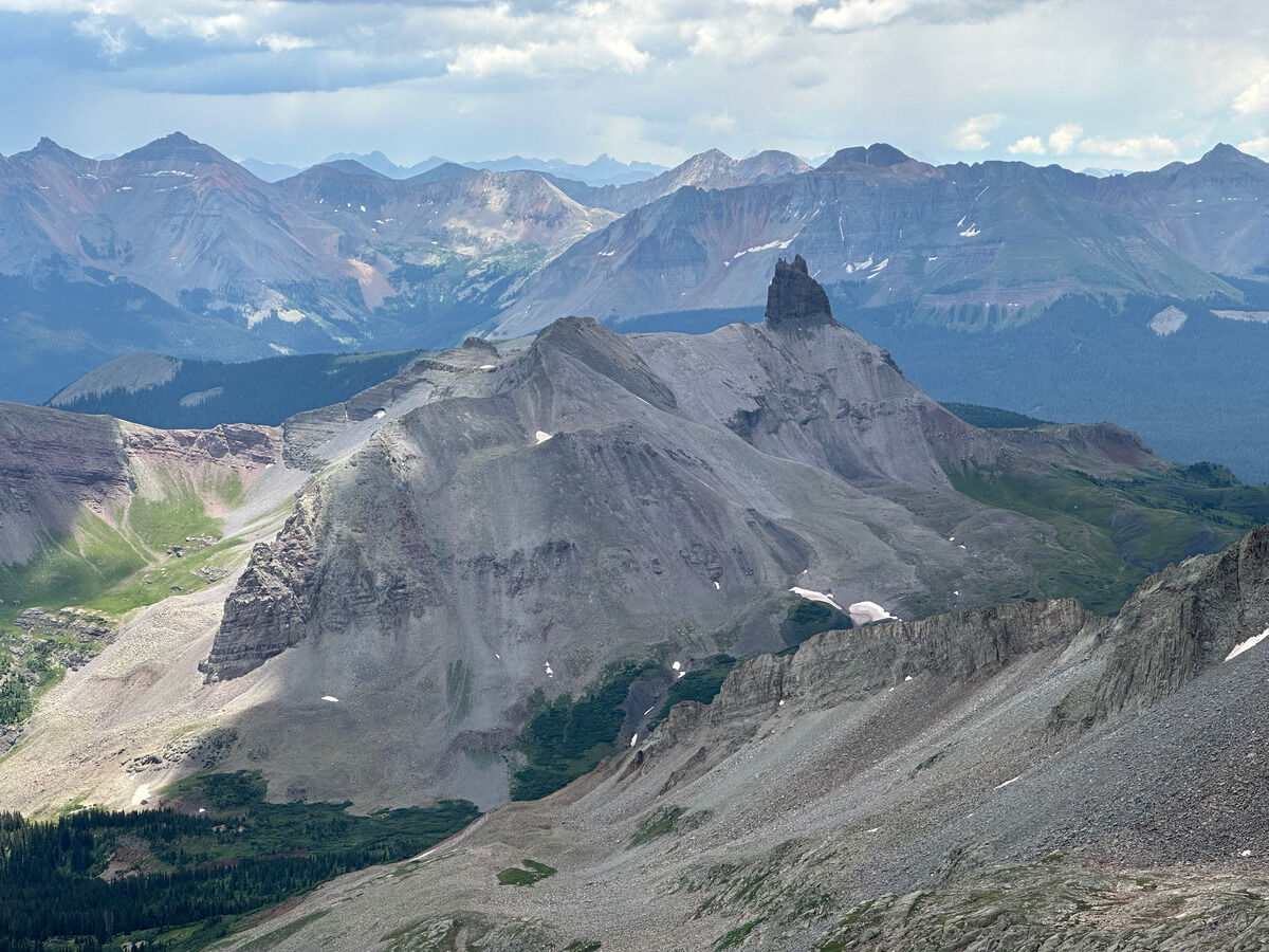 Neat formation
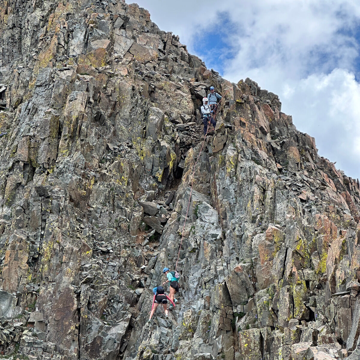 What is going on here...
It’s class 3 lol.
Good ol’ Colorado.
Whoever this guy was was not doing his due diligence because there was a massive storm brewing (not pictured), and even I thought I was pushing it a bit somewhat.
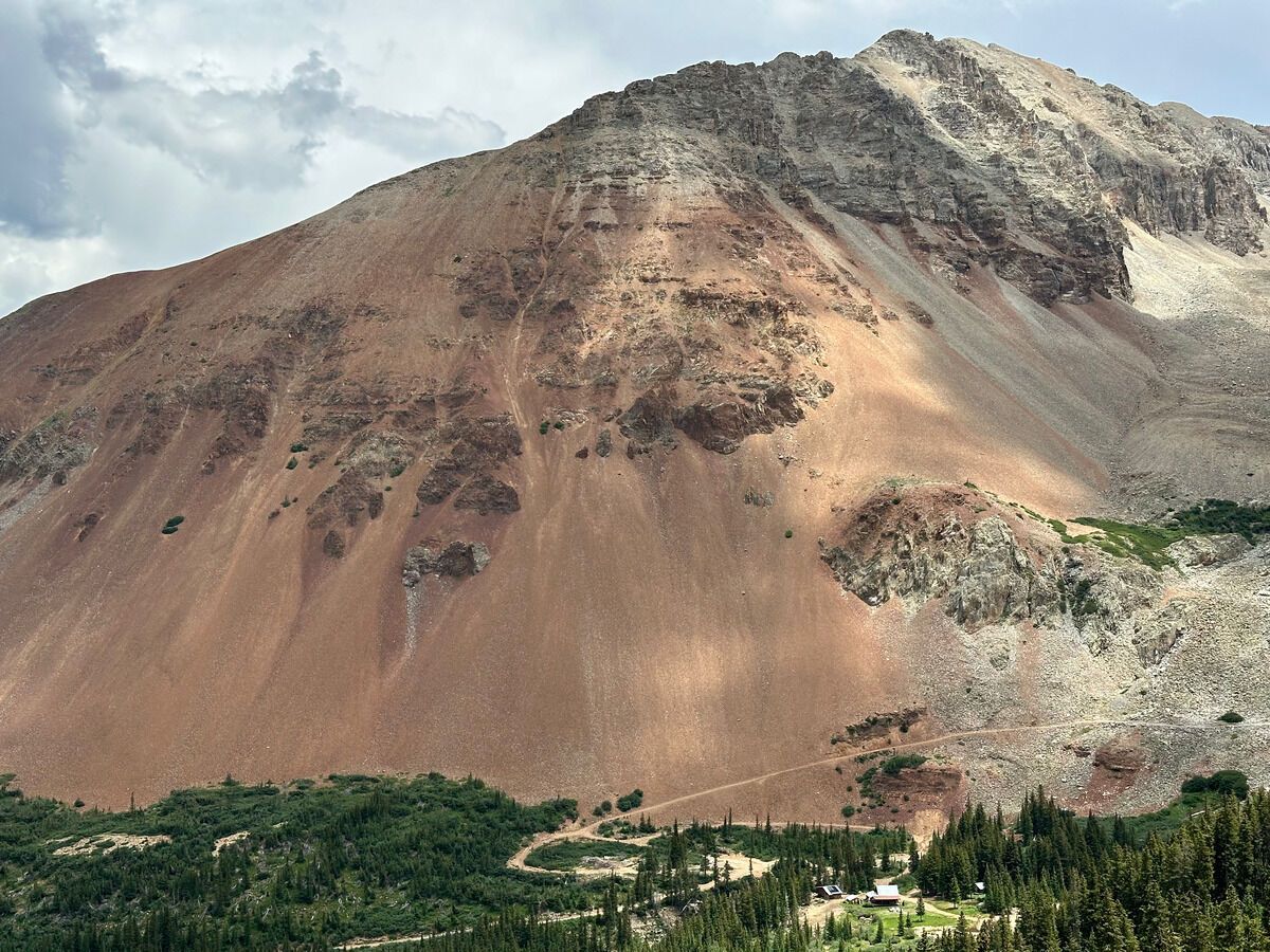 This mine pissed me off.
See notes.
Notes
- This was probably ~17 miles and ~7600 feet of vertical gain in a little under 10 hours.
- Starting at the Rock of Ages Trailhead is probably the most direct way to knock out these three 14ers versus the Kilpacker Basin or Navajo Lakes trailheads, especially with the direct drive from Ridgway.
- The parking situation was a little annoying because there appears to be a junction where FR 622 meets FR 645, with the former being a direct way to approach the peaks by going through the Silver Pick Mine. Checking the parcel data showed that the road and trail should be exclusively on Forest Service owned land, but there was a sign saying to park at the trailhead proper.
- However Big Bear Creek is kind of gnarly to drive down in and out of, with a decent amount of water flowing. And that’s if you can even make it past the mud pit before it. Seriously look at the map and see how circuitous getting to the trailhead is. I was tempted to ignore the sign (and I saw online that some people did) but I know the Forest Service did good work so I abided by their discretion.
- But this definitely added time where I was pushing up against thunderstorms on Wilson Peak, so move quickly.
- Speaking of the mine, I wouldn’t trust filtering any of the water here. I saw bleaching on the rocks where any water was running, and I saw many rusty remnants of mining equipment in the Navajo Lakes basin.
- The north buttress route up El Diente was pretty solid, not sure why it’s not more popular given how much people complain about the looseness in this zone.
- However going down the north slopes of Mount Wilson was actually pretty loose and likely the chossiest thing I’ll do in Colorado.