Grand Teton, Middle Teton, Cloudveil Traverse
Finally climbed the Grand Teton, which I felt was a bit overdue. Did the most I could in the Tetons without a partner, but was still able to romp around the range to see what’s out there when I come back with better objectives.
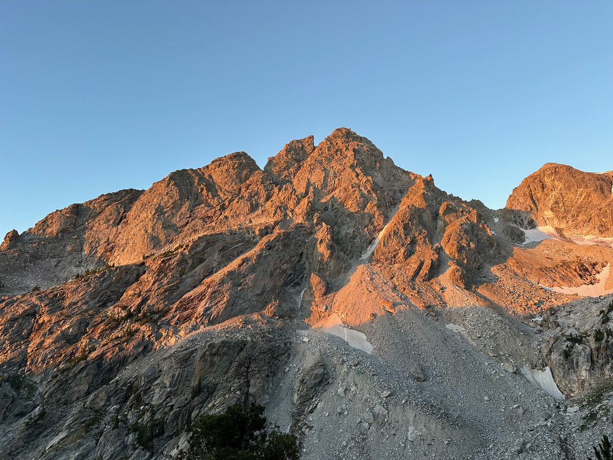 First light on Nez Perce, my final peak of the day
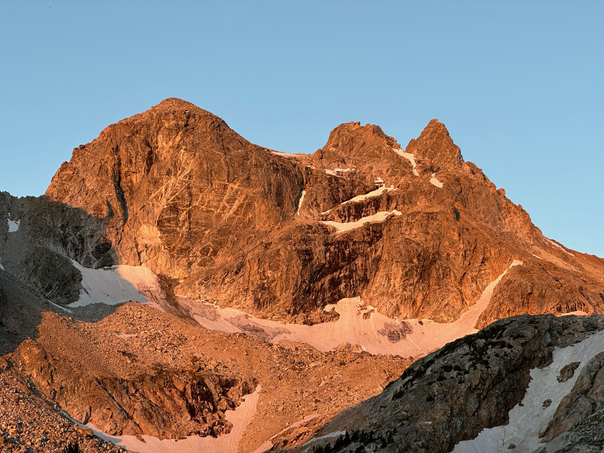 Cloudveil Dome, Spalding Peak, Gilkey Tower
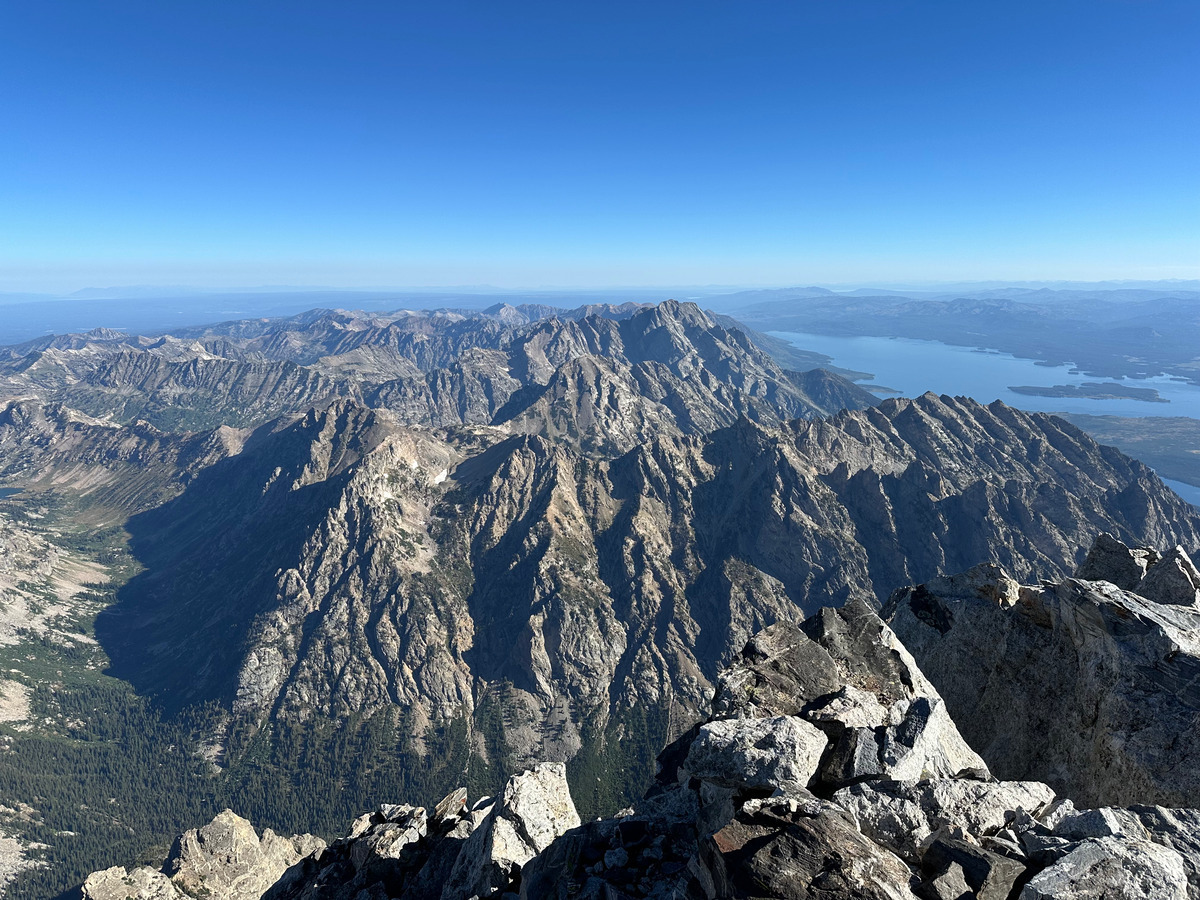 Looking north from the Grand Teton. Man I’ve always dreamed about this view.
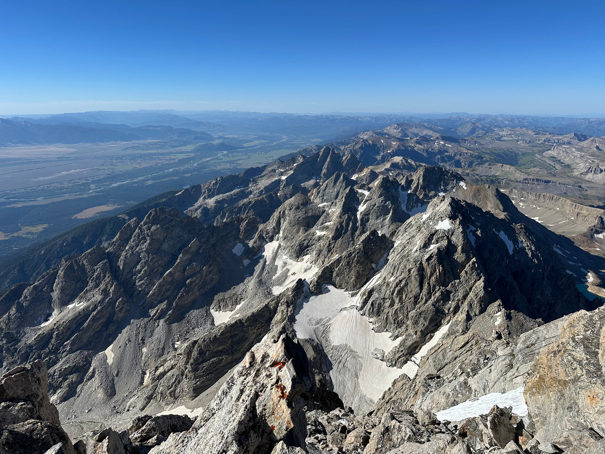 Looking south and seeing the labyrinth that will soon be my future
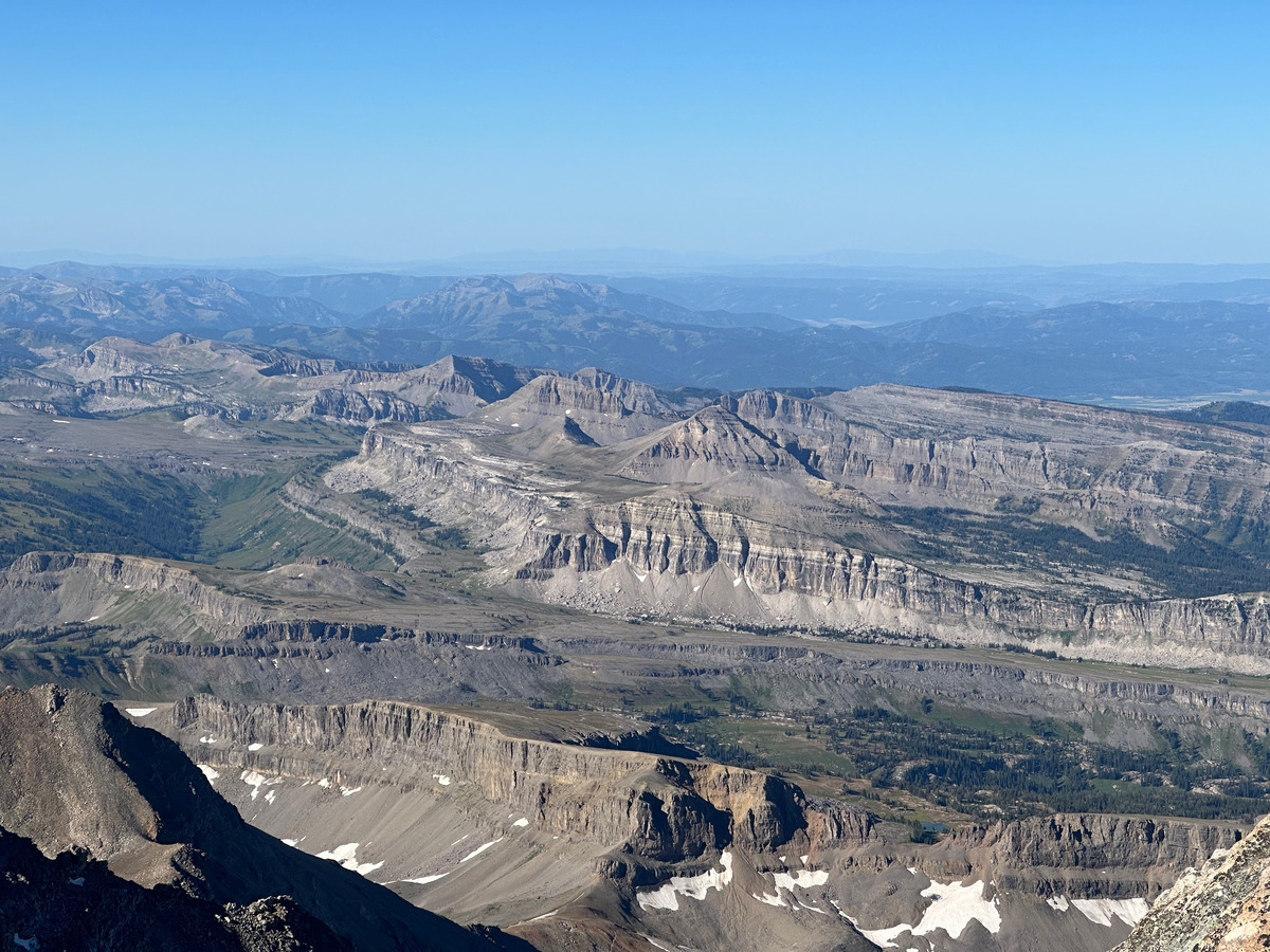 The weird plateau features that you pass through if you ever do the Teton Crest Trail (on my todo!)
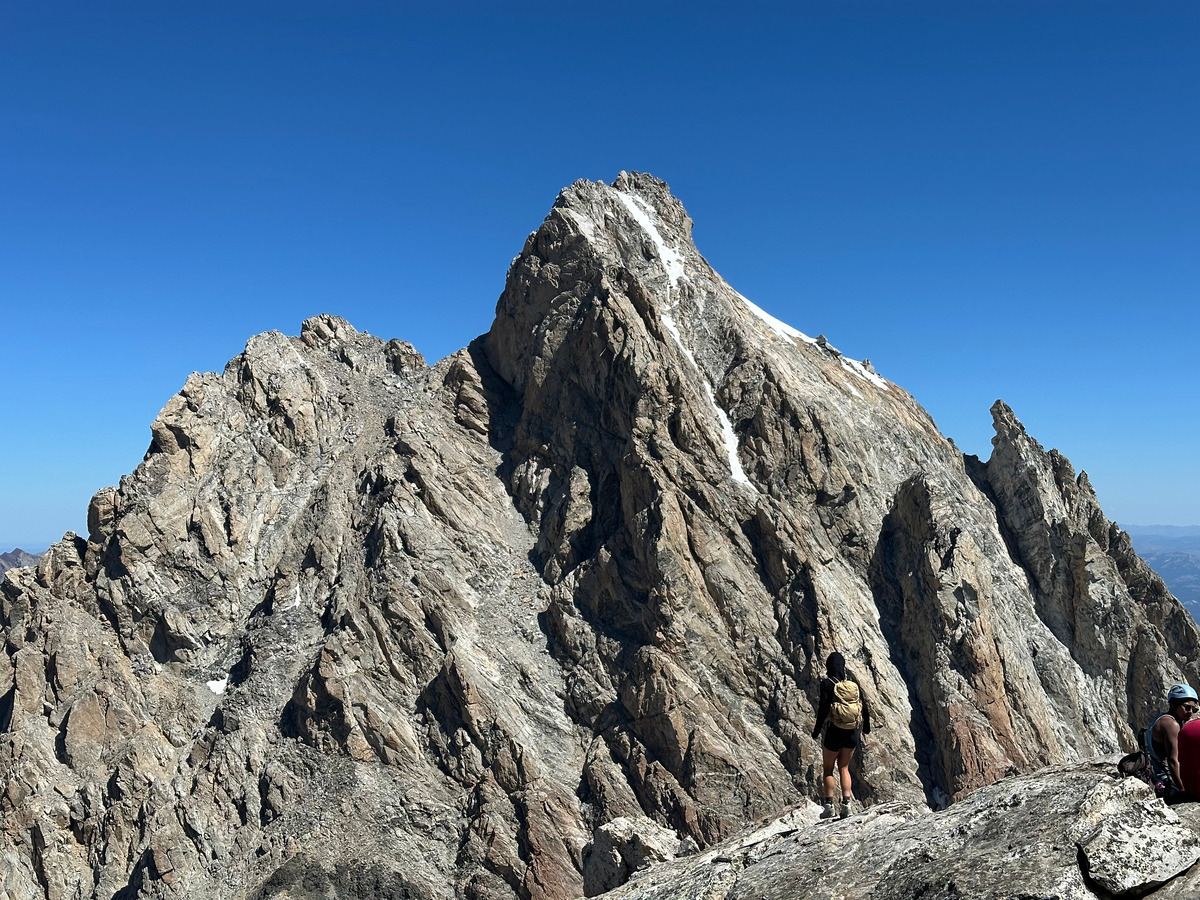 The Grand Teton from Middle. Snow lingers on the classic ski line down (also on my todo).
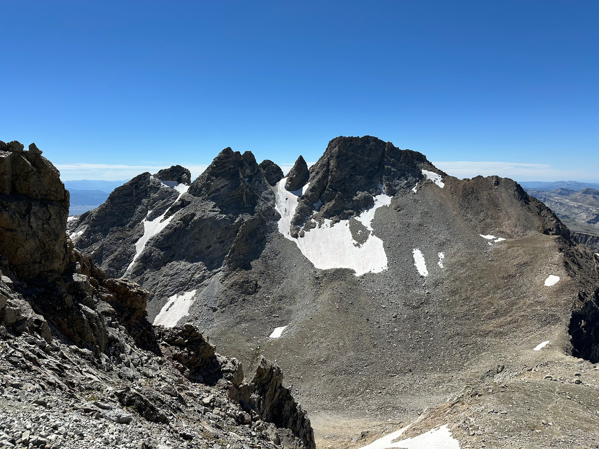 South Teton (tallest), Ice Cream Cone (pointiest), Gilkey Towers (three), Spalding Peak (snow below it)
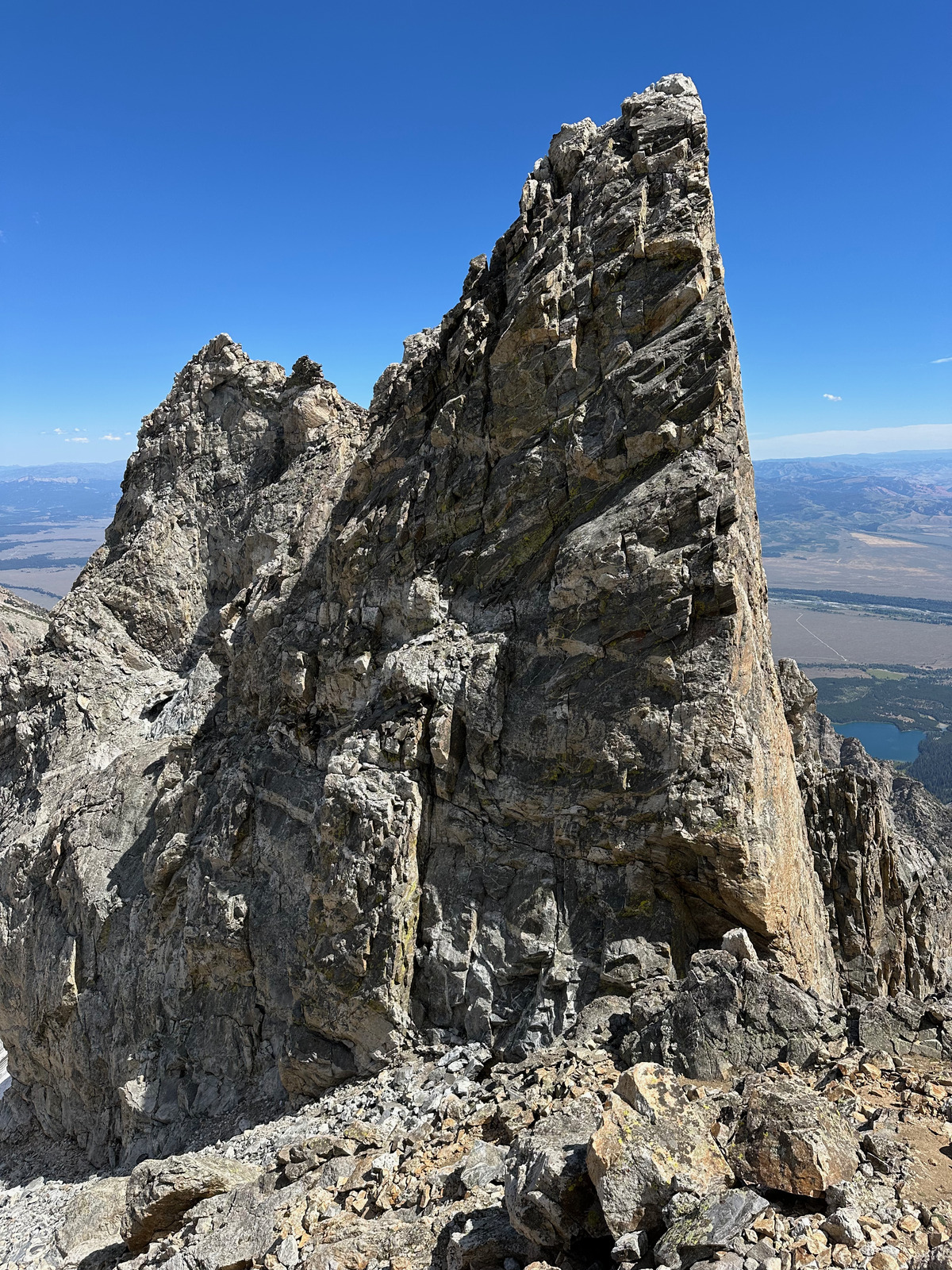 5.6 up Ice Cream Cone. Yea I’m not free-soloing that lmao.
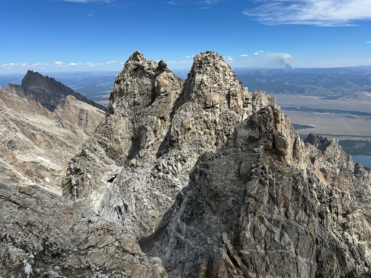 Gilkey Towers from Ice Cream Cone
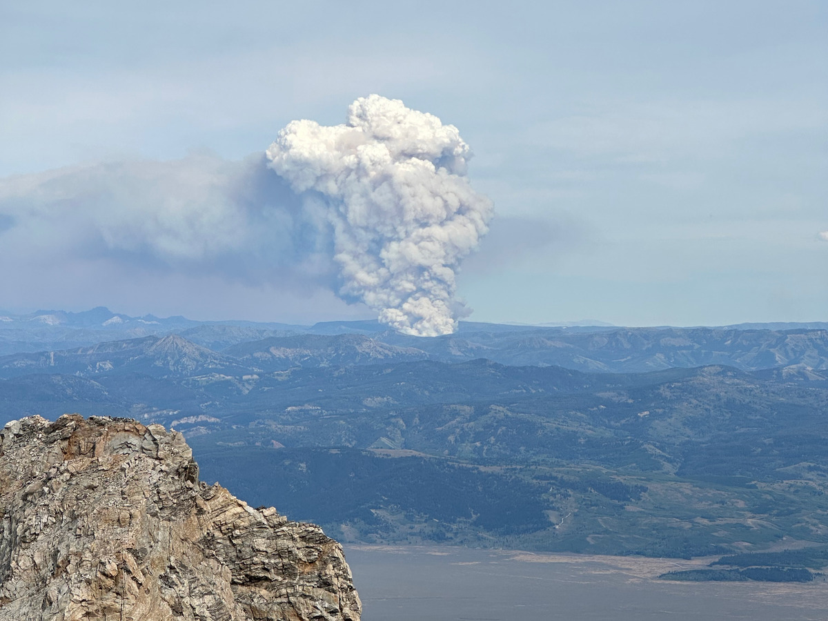 Fire coming out of Northern Gros Ventre area
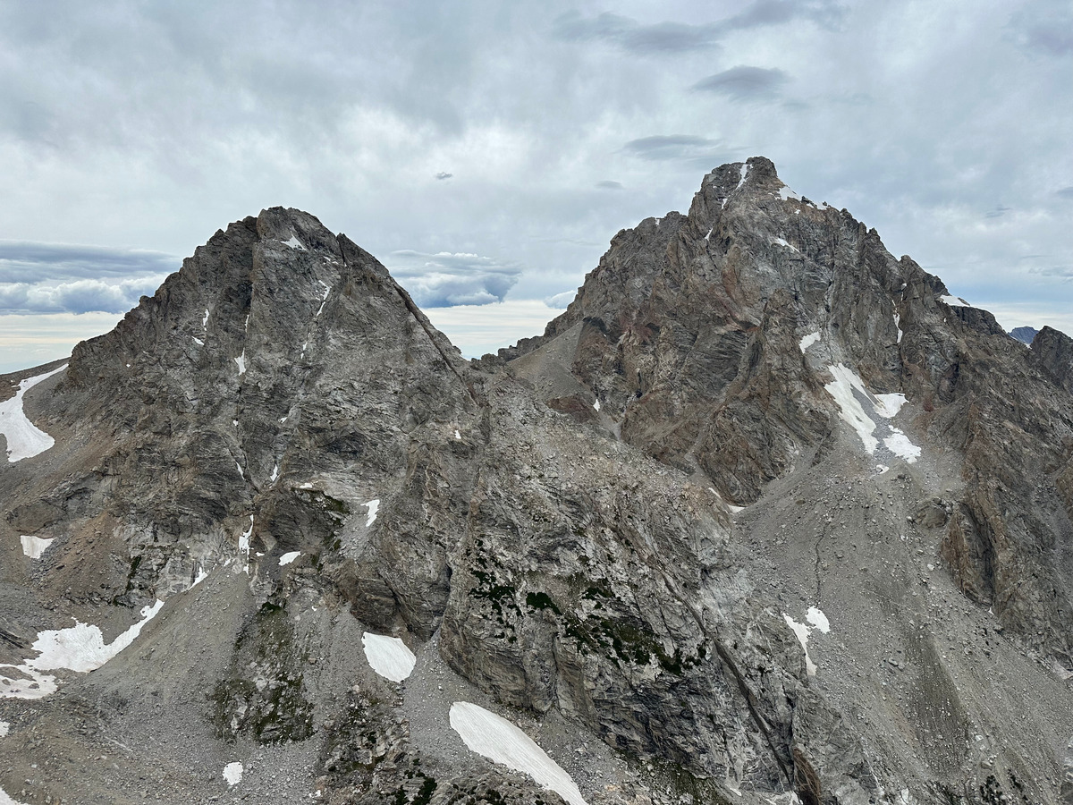 Looking back towards Middle and Grand from Nez Perce. Done! Long way down now.
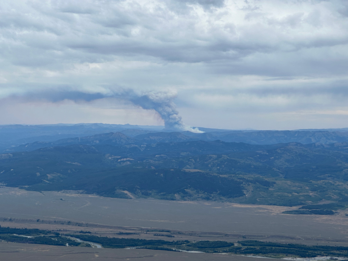
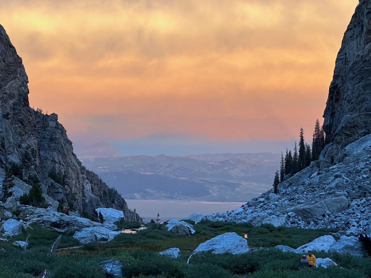 At least the smoke lead to a cool effect on the way down
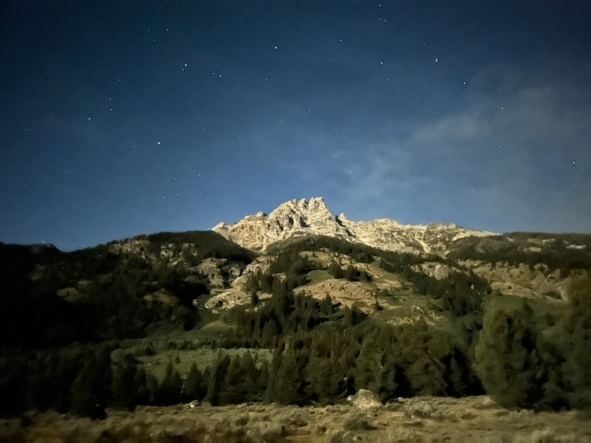 Looking 5500’ straight up Teewinot from the trailhead
Notes
- This was probably ~24 miles and ~10600 feet of vertical gain in 17 hours and change. ~7000 to the Grand Teton in 4:30, ~1200 to the Middle Teton in another slow 3 hours, ~1100 to the South Teton in an even slower 1:30, and the remainder of the traverse from the South Teton to Nez Perce in 4 more hours. Which I guess it took me around 4 hours to get from Nez Perce back to the car which is kind of sluggish.
- Trying to note the splits more since this was to scope out the Grand Traverse and with Austin Mallet’s Grand Traverse time beta seemingly being not unreasonable and within reach (although I was barely carrying any technical gear). Now that I’ve done this portion, I think I could go much faster since it seems like the time is mostly eaten up from routefinding.
- In short, this was pretty heads up climbing the whole way that is never really hard, but also never lets up - not until you get off Nez Perce at least.
- This can be split up into the following sections (reminder to myself that I have a very detailed CalTopo map with my track + notes):
- To the Grand Teton: Straightforward. Final climb up via Belly Roll, Crawl, choose the secure/snug one of the Double Chimney, then Owen Chimney, Sargent’s Chimney, summit, then reverse.
- To the Middle Teton: Get water at the hose below the lower saddle. Climb through the notch after weaving through the Pinocchio and Bonnie Pinnacles. Class four after the col up the north side of the Middle Teton, countour around and climb up a wide couloir, then the black dike couloir with a supposedly 5.6 climb from the top of the couloir, which felt pretty easy and secure, then scramble to summit.
- To the South Teton: Just a hike, but I couldn’t find any water from here on.
- To Ice Cream Cone: An exposed 5.6 (maybe even supposedly 5.7) crack climb that I skipped to instead contour around the base of the peak, but broke off giant flakes of rock near the snow moat while doing so. The climb itself is probably more secure.
- To Gilkey Towers: Pretty chill.
- To Spalding: Getting off Gilkey is a slabby and reachy downclimb where a rope might be prudent (maybe 15 feet, but pretty consequential/exposed). Getting to Spalding after that is easy.
- To Cloudveil Dome: Stay on ridge proper after Spalding, some face in downclimbing but should be easy to Cloudveil Dome.
- To Nez Perce: General beta getting off Cloudveil is going skier’s right then skier’s left. Kind of feels like you’re going too far south at first towards a cliff until you see some rap anchors. I saw two, and to downclimb you had to zig zag back and forth the fall line where you would rap straight down but it was pretty secure. Getting to Nez Perce is all about finding the ledges to contour around. Stash your pack below the large NW couloir, then find more ledges to countour around and scrambling occasionally. I’m getting wordy but it’s more rambly than expected so look at my track.
- To trailhead: Get back to where you stashed your pack, then either boulder hop through the moraine to join the South-Middle Saddle Trail where there is plenty of water, or I saw some people wrap around under steep north faces of Nez Perce to join the trail closer to Garnet Meadows. Either way, the large boulders move somewhat so be careful lol.