Teewinot, East Prong
Hesitating on the original plan to get up Mount Owen with the goal of scoping out the northern leg of the Grand Traverse. Went for an attempt the previous day and got poured on not even before leaving treeline - definitely not trying to take any chances with the conditions since the critical downclimbs are shaded. This morning I got discouraged by the flashes of lightning so I slept in, which ultimately prevented me from getting to Owen.
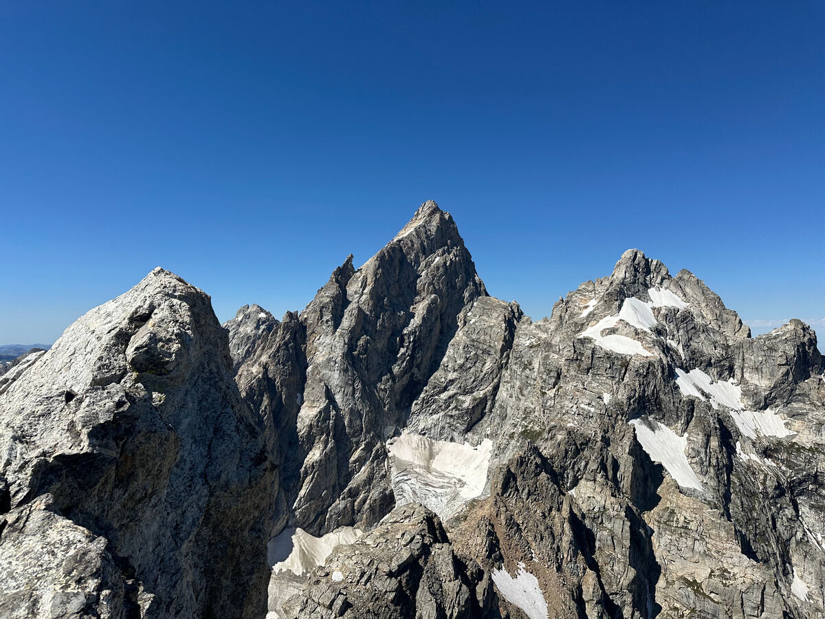 On top of Teewinot looking at the north side of the Grand! With Mount Owen to the right.

 A look back at the Cloudveil Traverse
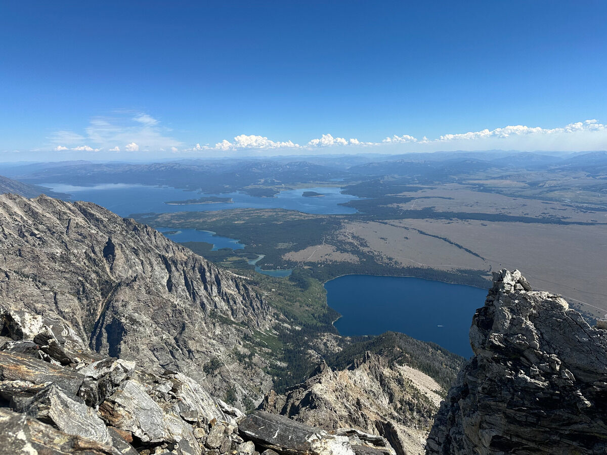 North towards Jenny and Jackson lakes.
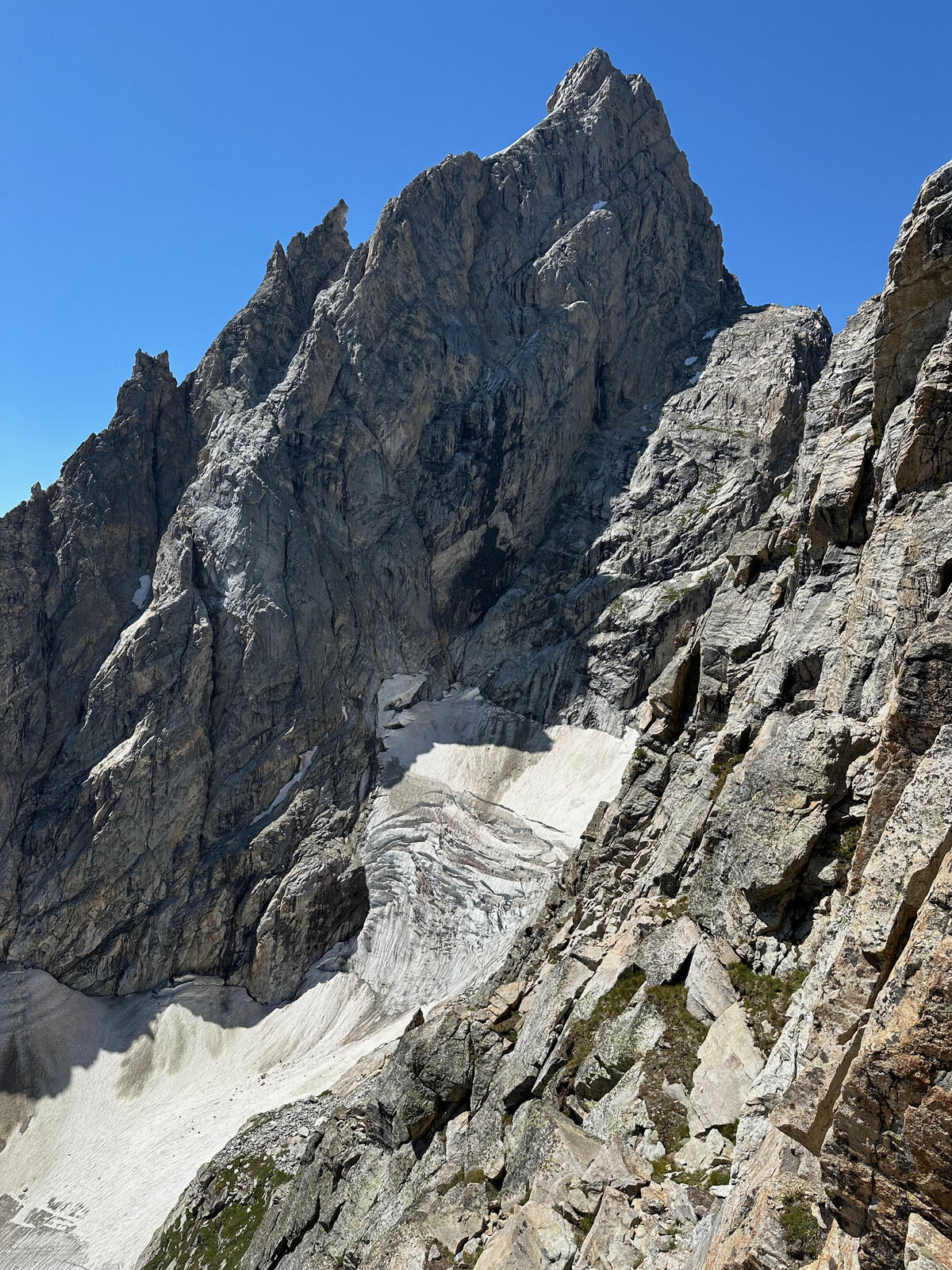 The extremely receded Teton Glacier
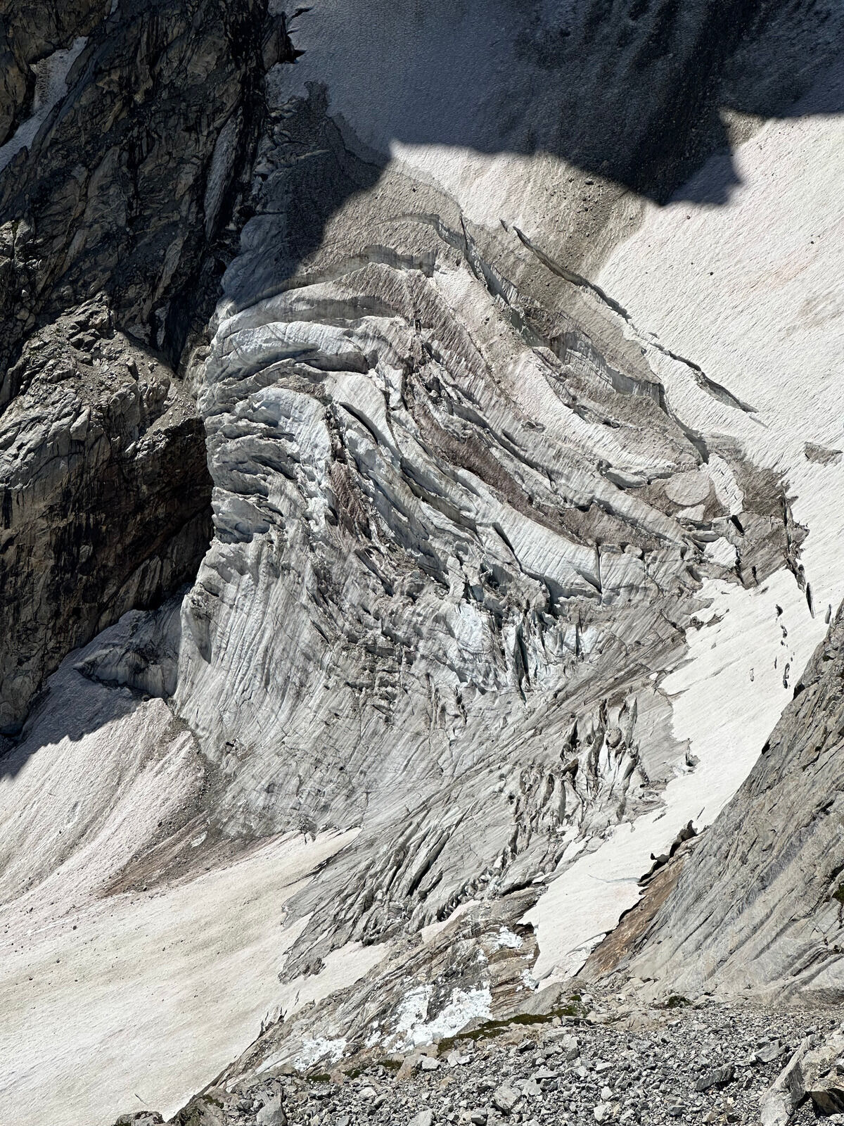 Gnarly!
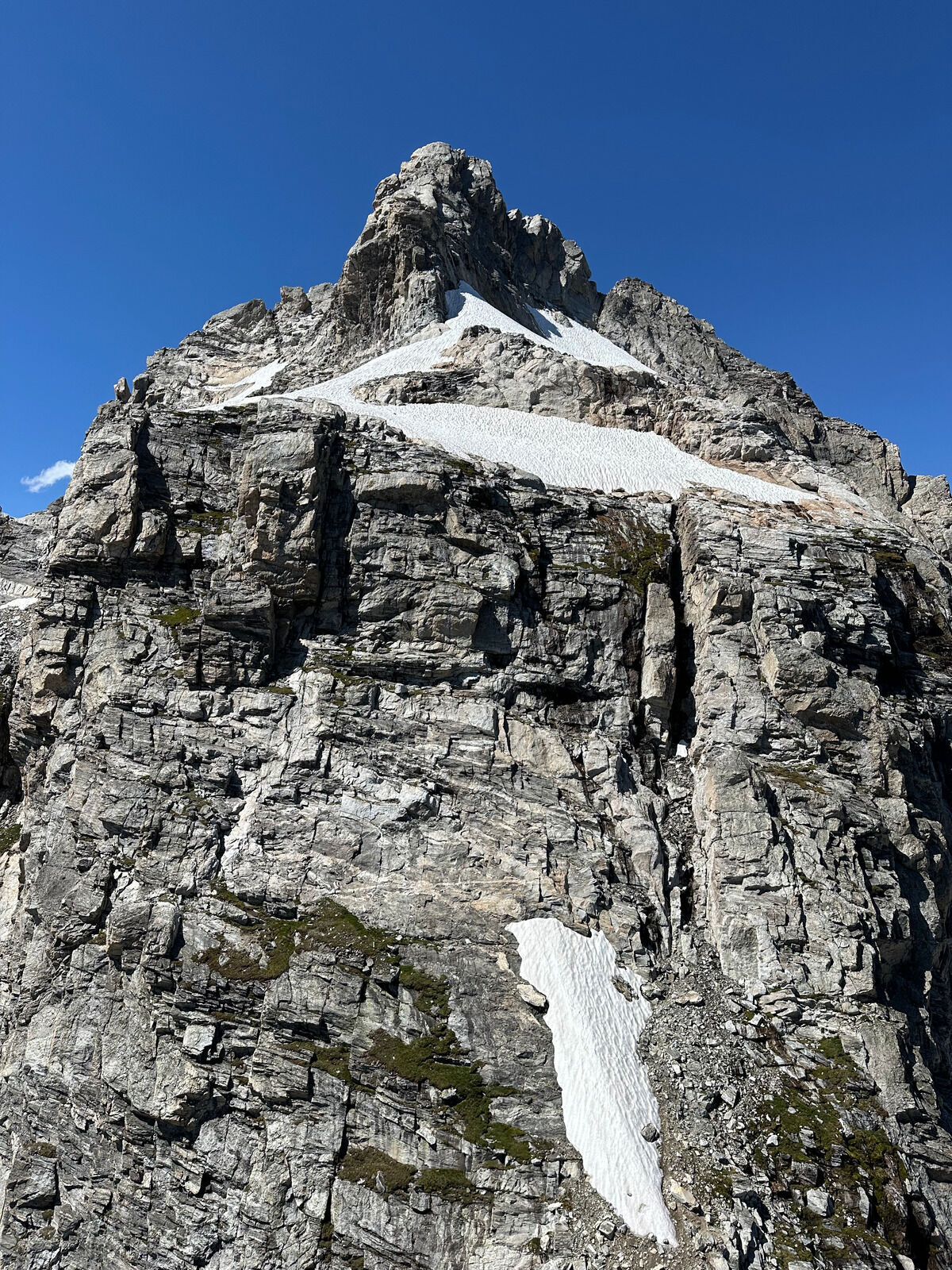 On East Prong looking at Mount Owen.
Ultimately I started too late in the day to now climb it and get back.
Didn’t want to to downclimb 5.4 with time pressure or hike out in the dark.
Fortunately, I do believe getting to the top of Owen is pretty straightforward.
Getting off Owen and to the Grandstand is a whole other story supposedly.
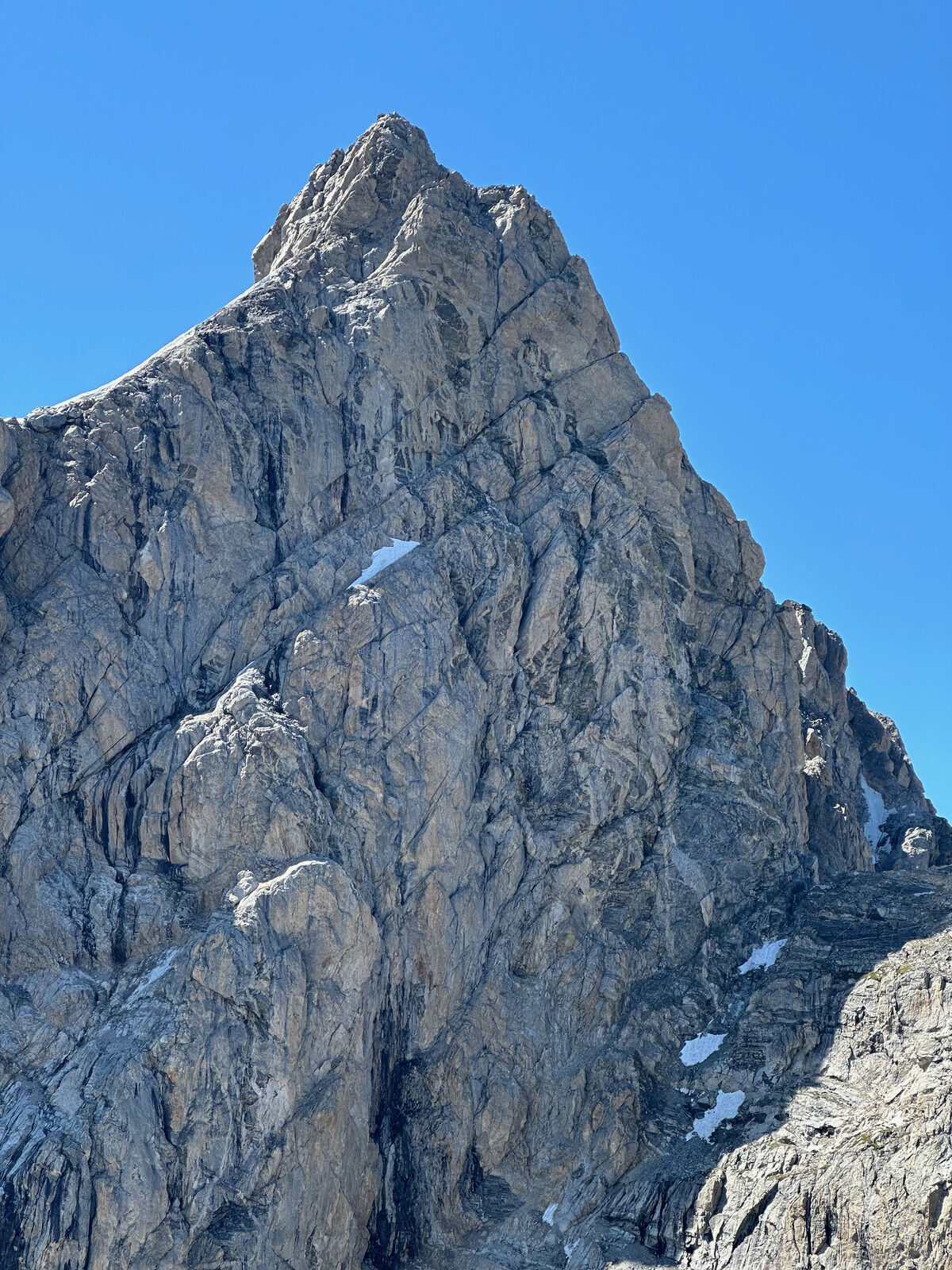 Man I wish I got the view of the north face of the Grand from Mount Owen so I can see the full climbing route, but you can still make out the Italian Cracks and the ledge bypass
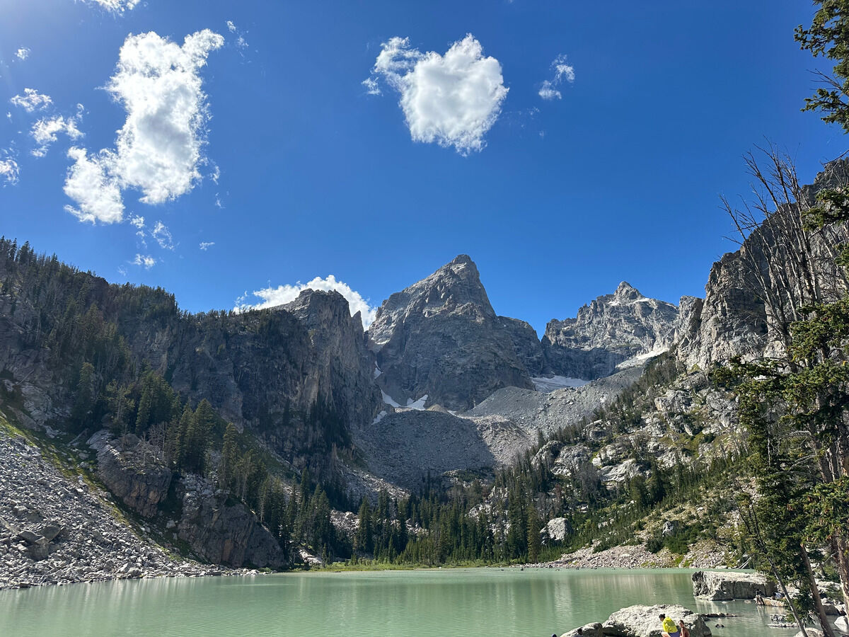 Unexpectedly annoying bushwack getting back to Delta Lake but mission accomplished!
The southeast ramp between Peak 11840 and East Prong was pretty chill and so I did not have to rap down the Koven Couloir climbing route.
I’m surprised this is not a more popular approach/deproach for Mount Owen.
Notes
- This was probably ~11 miles and ~6700 feet of vertical gain in about 8 ½ hours. 3 hours to Teewinot, under 5 to East Prong. It would have been another 1000 feet of climbing in about 80 minutes or so I imagine to summit Mount Owen.
- As noted earlier, this was to scope out the northern portion of the Grand Traverse that starts from the Teewinot trailhead up the north ridge of the Grand Teton, before finishing with the Cloudveil Traverse that I also scoped out earlier.
- Making a bit more of a note with the splits, with Austin Mallet’s Grand Traverse time beta seemingly being not unreasonable and within reach (although I was barely carrying any technical gear).
- This can be broken up into the following sections (reminder to myself that I have a very detailed CalTopo map with my track + notes):
- To Teewinot: Try to follow the trail and not get off route. There should be a reliable water source just below the red rock gully near the top.
- To Point 11840: Very easy hiking.
- To East Prong: You can either rap down the west face of 11840 or downclimb the obvious NW couloir to the north. It is very chossy with a lot of overhead hazard though (although probably faster?). Then stay north of ridge proper on the way to East Prong and only start scrambling on the final ridge, which is kind of like a face climb.
- To Owen (I didn’t do this): Absolutely wait for dry conditions so you can contour around the north side of East Prong instead of rapping the west ridge. Fill up water here and climb up the rocky face shown in the picture above, countour below the snow patches, then wrap around the back to the true summit of Owen.
- Onwards to the Grand Teton: ???
- Downclimb Owen and make some raps to the col between Owen and the Grand (???).
- Get to the Grandstand (???).
- Climb the north ridge of the Grand Teton (Italian Cracks?) (???).
- Gnarly crevasse fall incident on the Teton Glacier which made me hesitant to get anywhere near it.