Mount Daniel
Been saving this one for those weird forecast days. I don’t think I give the Alpine Lakes Wilderness enough love. Definitely hoping to have more Plan A days here instead of relegating this area as a backup to “cooler” plans. A bit more crowded, and the peaks are a bit smaller, but I overlook how comparably rugged it is to the North Cascades.
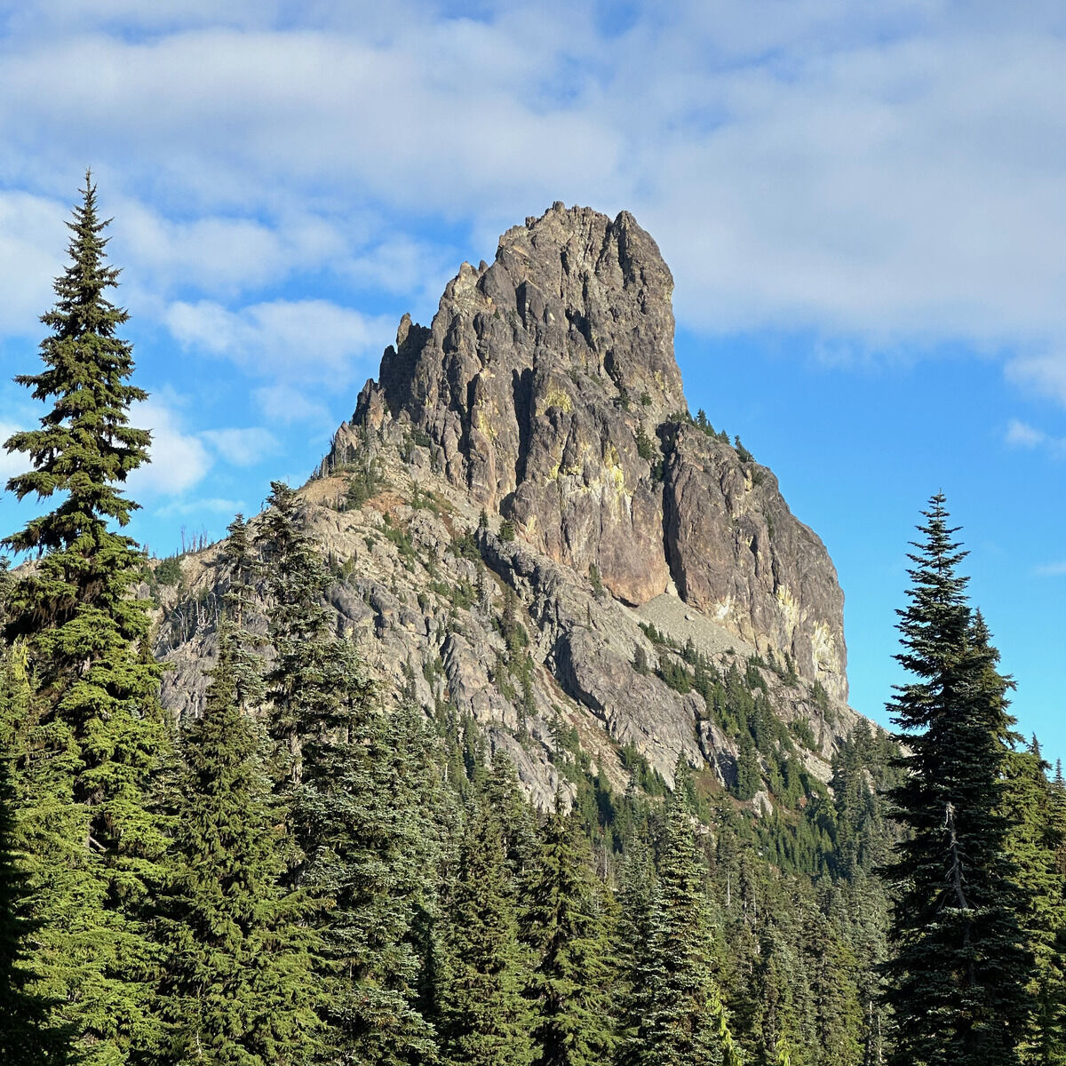 Pointy Cathedral Rock
 The aptly named Deep Lake in the aptly named Alpine Lakes Wilderness
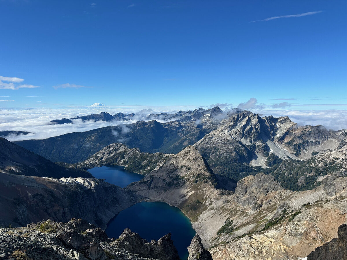 Venus and Spade Lakes, Rainier in the clouds and the many Lemah Peaks
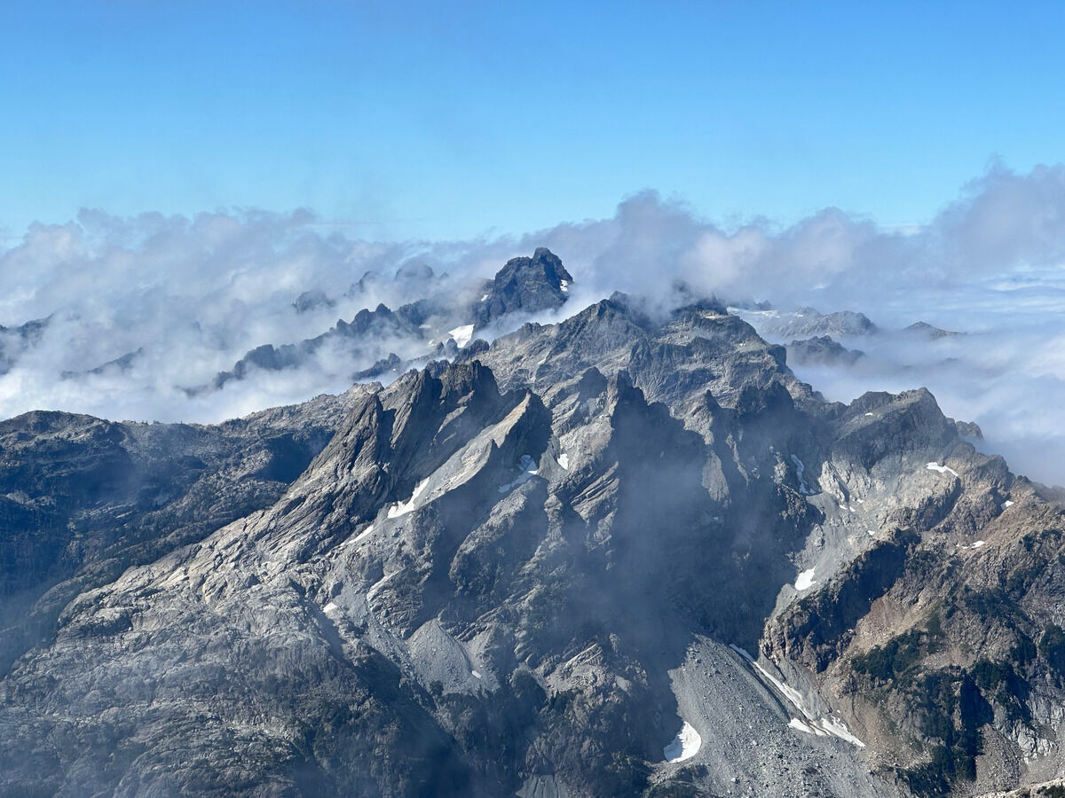 Cool looking slabs
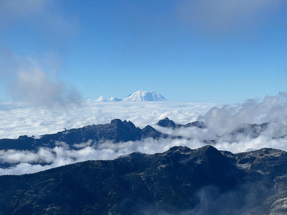 Big R always watching over all in this area
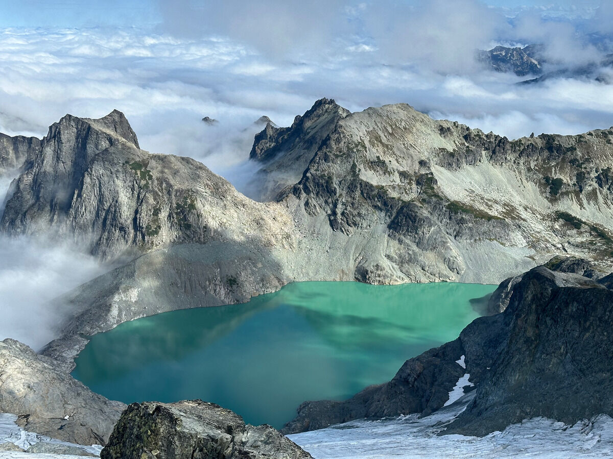 A cauldron brewing over Dip Top Gap
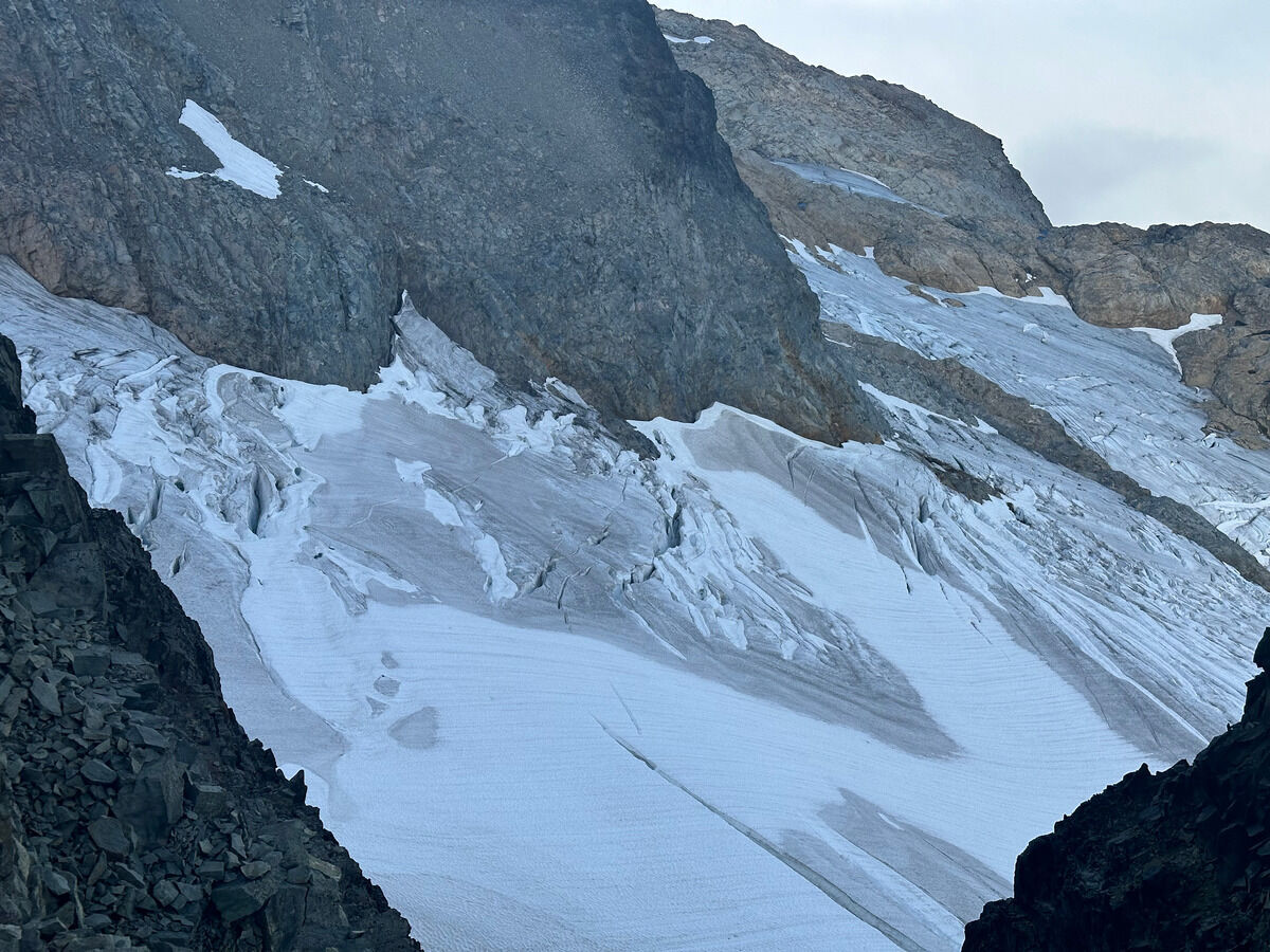
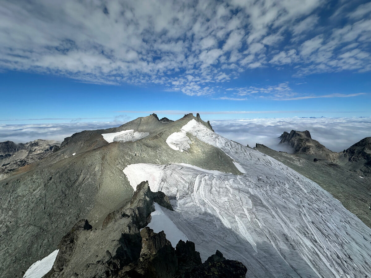 Mount Daniel’s glaciers from afar look so tiny, but you remember how giant the crevasses are when you get up close!
And what Daniel doesn’t have in height certainly makes up for it in width.
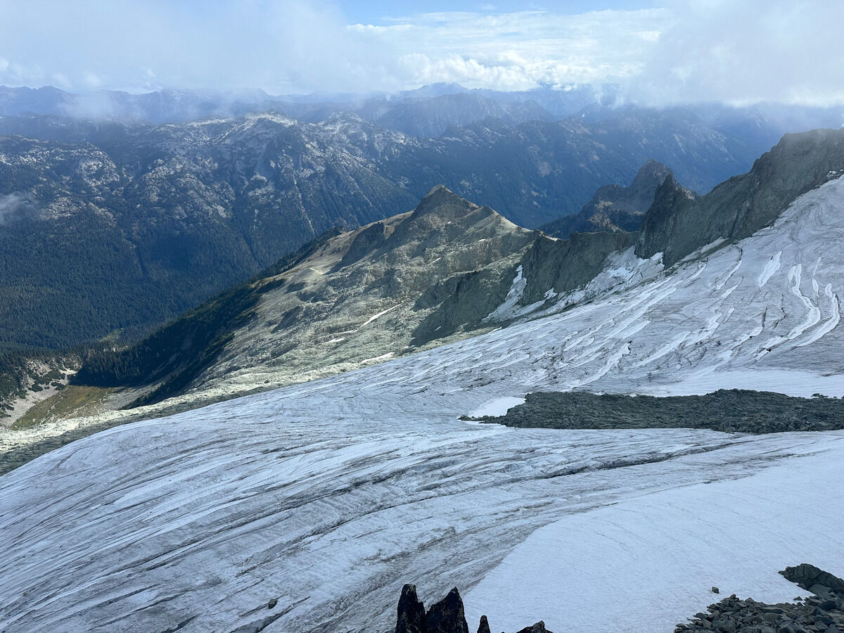
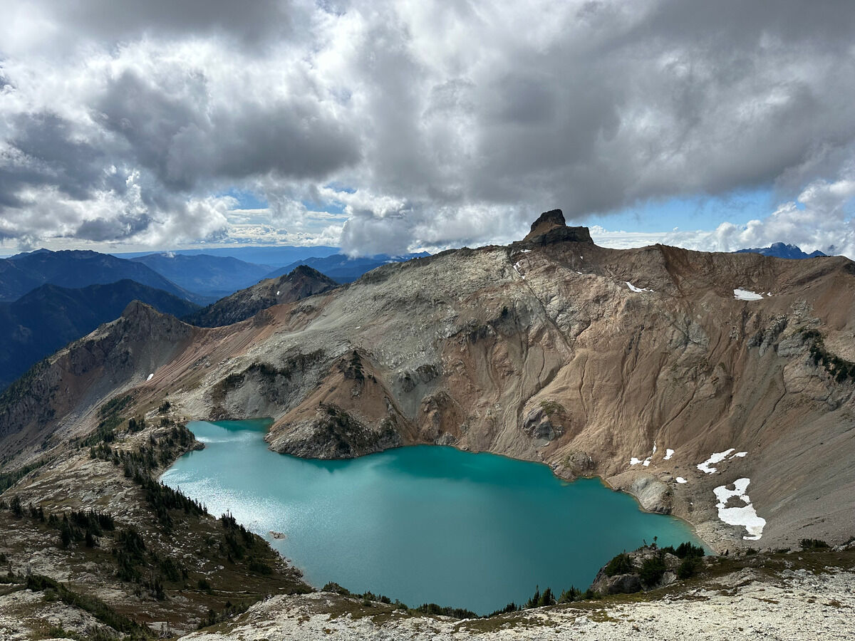 Circle Lake on the way back
Notes
- This was probably ~16 miles and ~6300 feet of vertical gain since I tagged the other summits on the way to the true one, taking a little less under 6 ½ hours.
- Try not to lose the trail to Peggys Pond since that’s the last water source. I initially took the trail that goes low and bypasses it, before backtracking and going upwards.
- When it’s dry, it might be faster to take the glacier route directly to the saddle below Mount Daniel’s East Peak and retrace the route on the way back.
- I took the ridge up, which I felt had unnecessary gain/scrambling.
- Then I took the glacier route down which was also annoying because I had poor line of sight looking over the rock slabs.