Little Bear Blanca Traverse, Ellingwood Point
The tackling the first of the so called Great Fourtneer Traverses in Colorado.
Some words, mostly pictures
The tackling the first of the so called Great Fourtneer Traverses in Colorado.
If we thought going up three separate Sawatch peaks by themselves was monotonous, how about doing three in one day 😂.
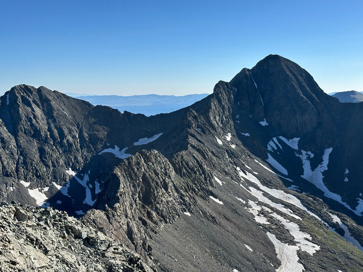
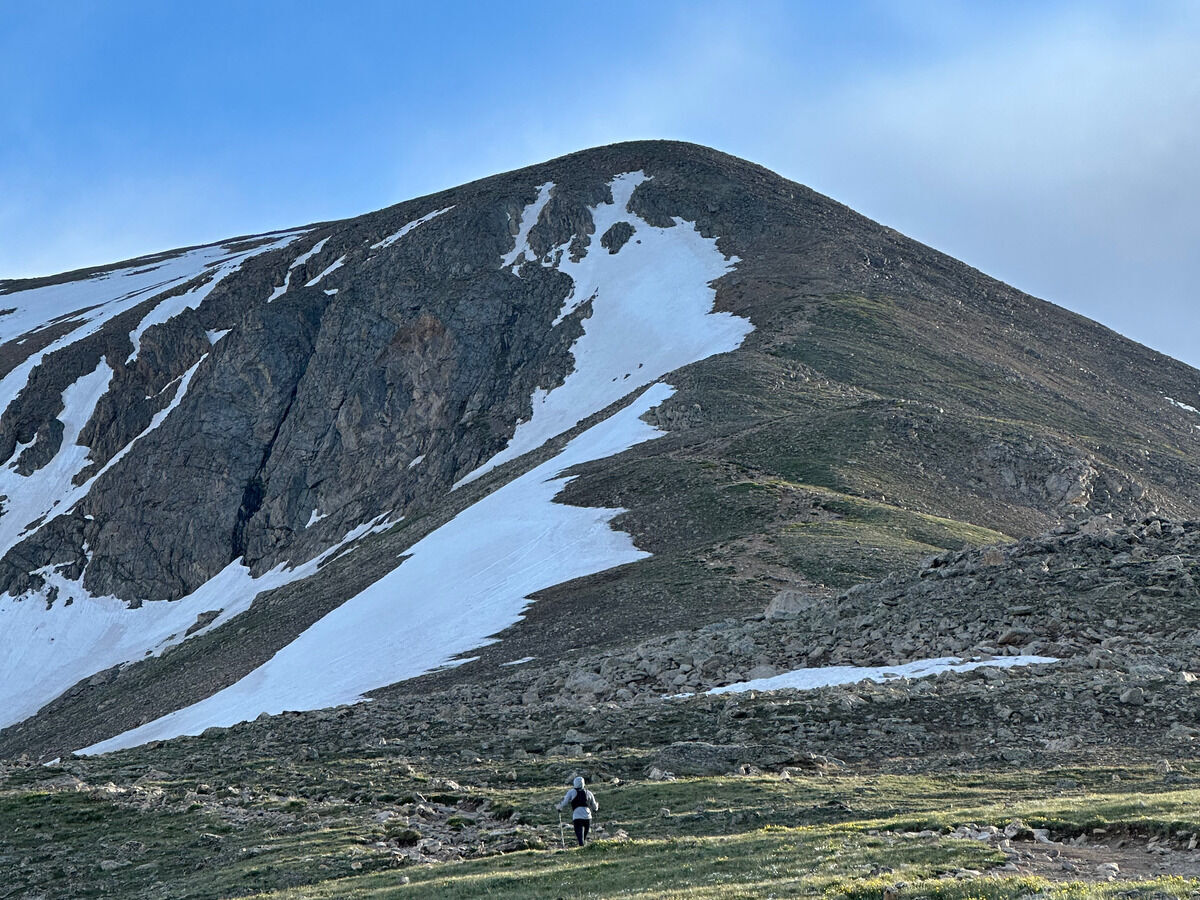
Yep this is already getting old lol. The third peak with similar mileage, views, and terrain profile, all while taking the same amount of time to summit. Although I will say that this probably had the best views of the Sawatch Peaks we’ve done, probably because there is greenery & vegetation as I’m learning.
Tackling another mediocre peak in the Sawatch Range.
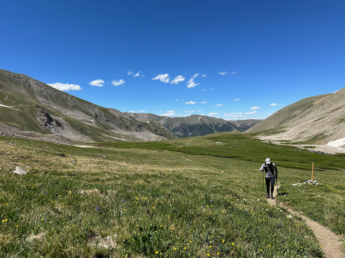
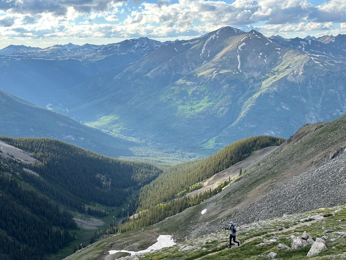
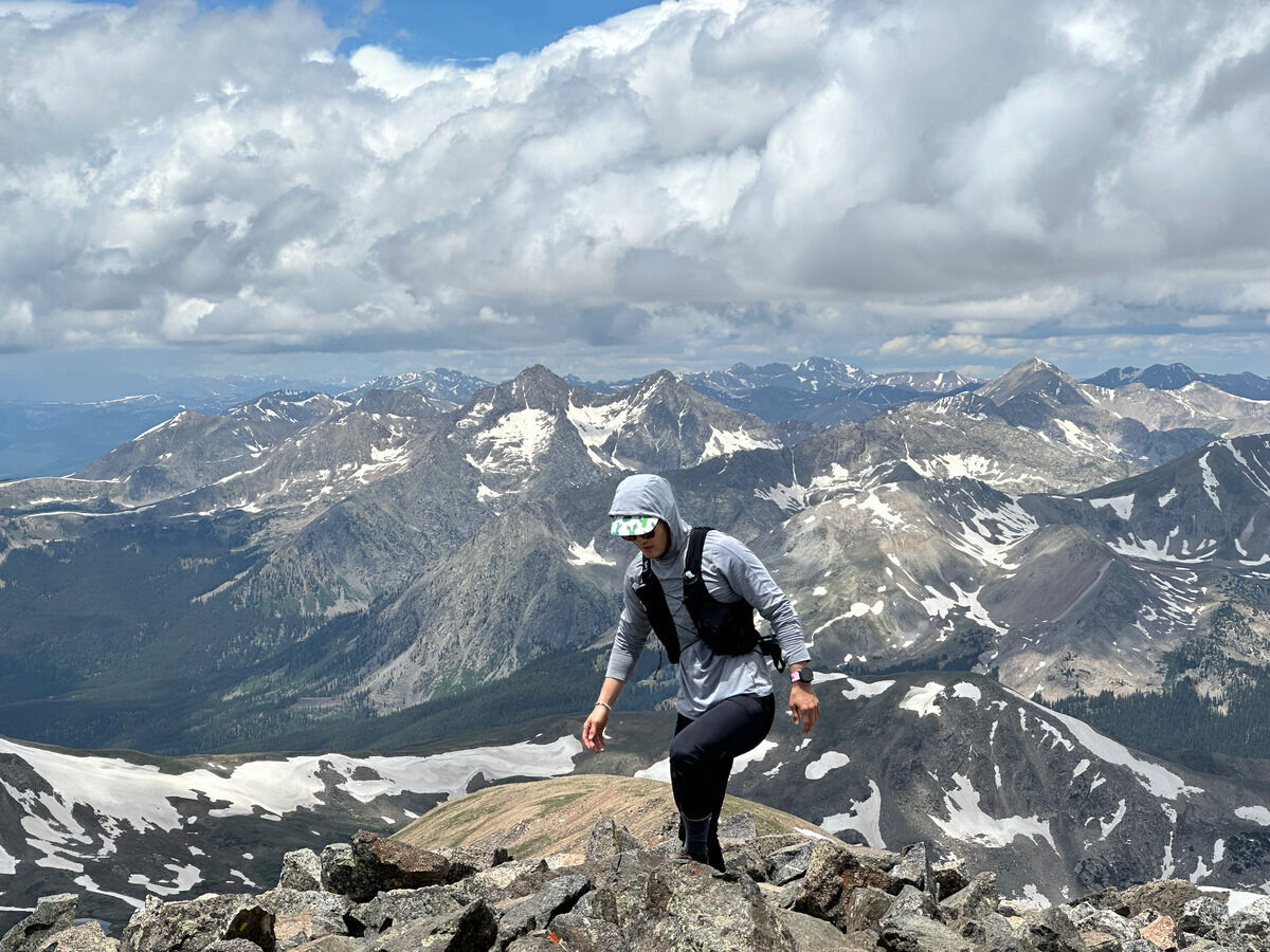
Unacclimatized, sleep-deprived, and not even 2 hours after arriving to Frisco did we decide to go up Colorado’s highest peak, Mount Elbert.
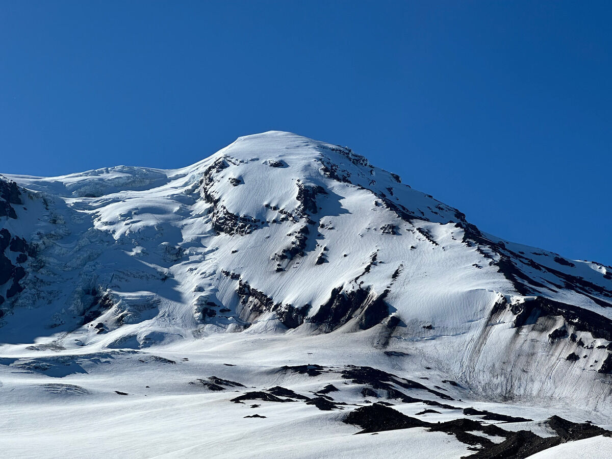
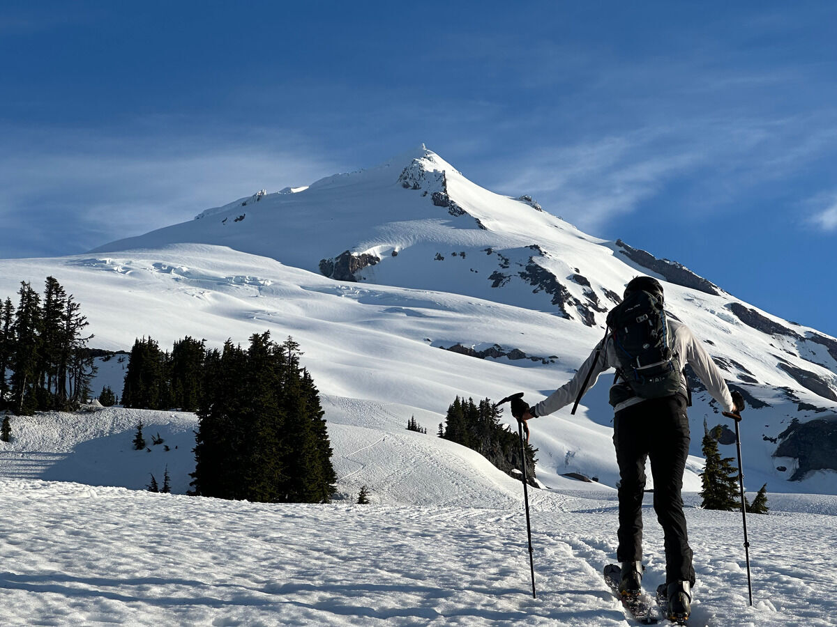
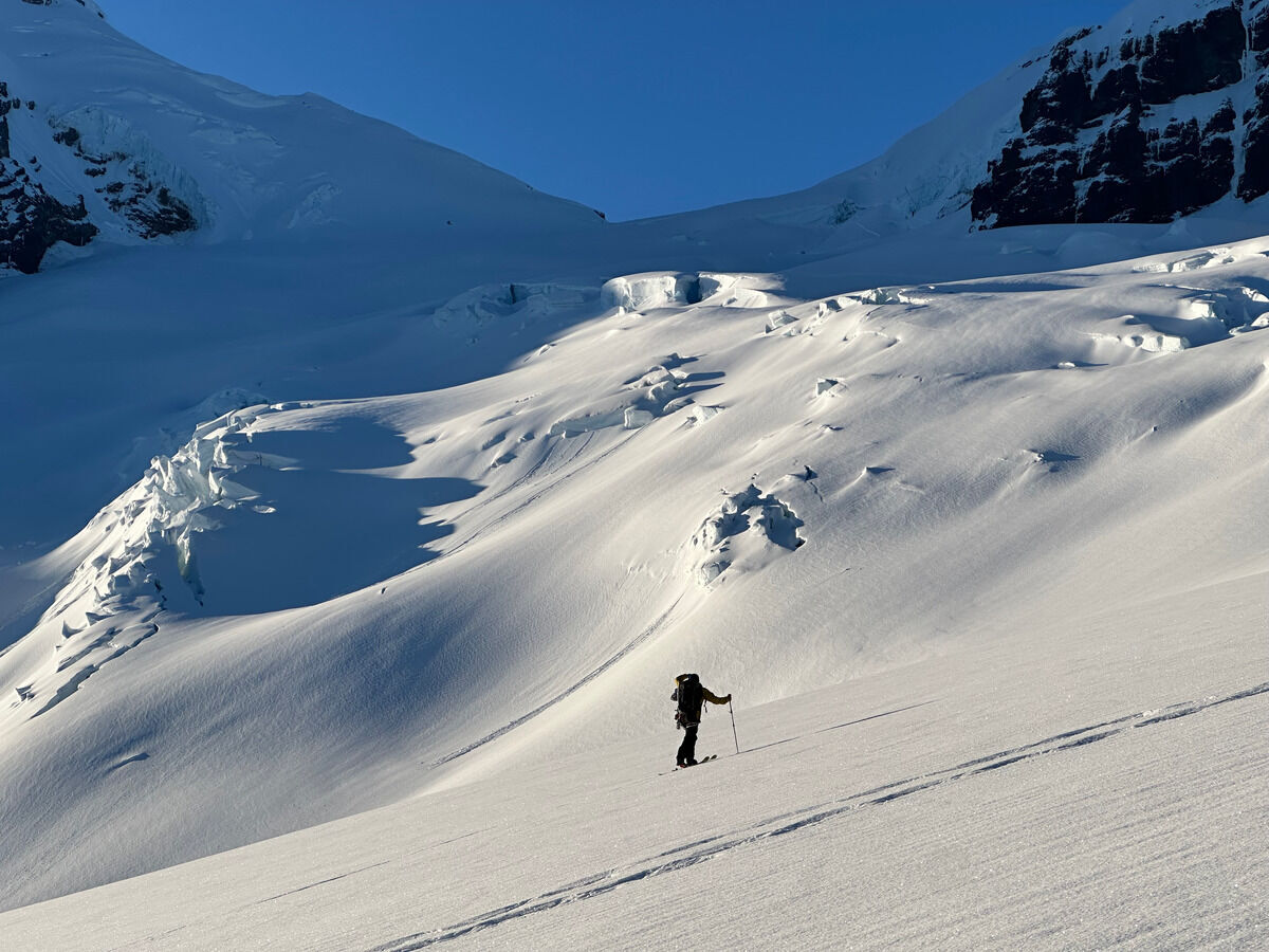
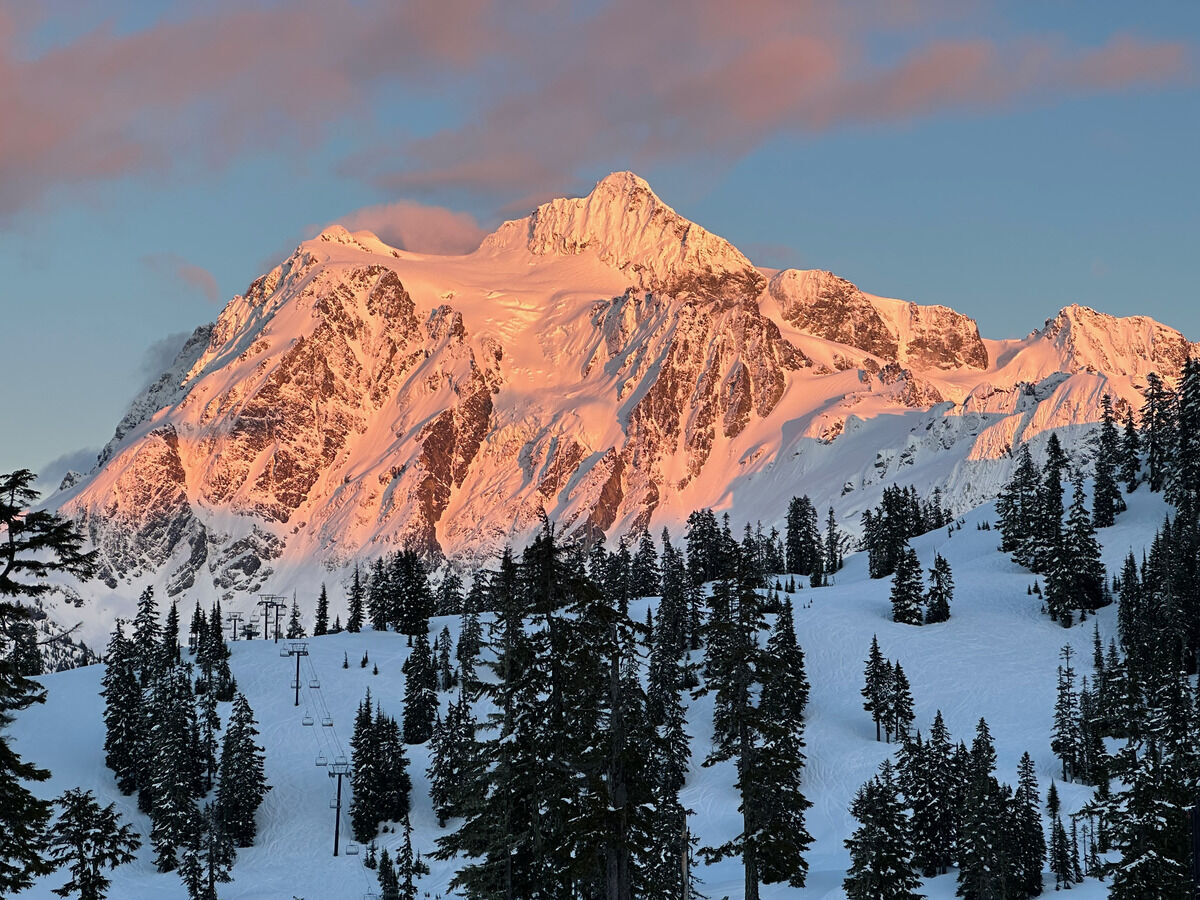
NFNWR is short for the north face of the northwest ridge on Mount Adams - what a mouthful to say.
During the time I’ve been skiing in Washington, there’s been some opinions that this line might be less and less skiable as climate change impacts the mountain.
With a fat high elevation snowpack and after seeing that some friends skied this line, I knew it was time to pounce.
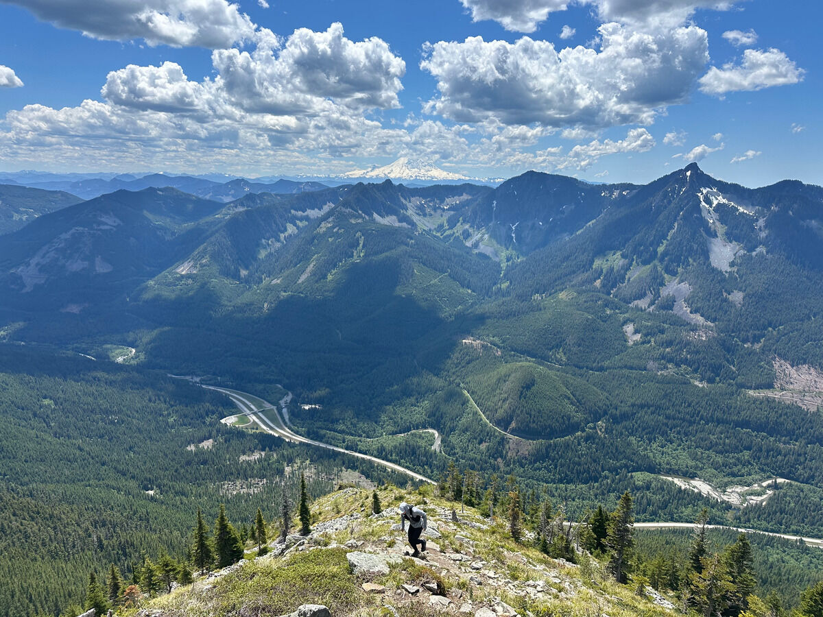
The P3 Mount Defiance loop makes a rectangular shape on Strava I’ve come to recognize from everyone doing it over the years. A perfect low-stakes day for me and Haram as he prepares and crams some last minute vert for his upcoming race.
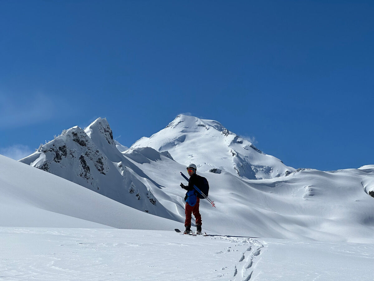
I’ve done Ruth Mountain previously in the summer and I thought it had some of the best views in the North Cascades for the relatively easy level of effort. I couldn’t say no to the same views with even more snow, tagging Icy Peak this time around, and skiing back down the enticing slopes of Ruth.
As straightforward of an up and down on Mount Baker as you can get. Great to revisit this route, but man is it kind of a boring slog in the sense that the views don’t change that much. The conditions this weekend were a little uncertain to go for anything bigger and I certainly needed the confidence booster after last week’s debacle.
I’ve always wondered what kind of outing I’d be capable of off the couch, and on this day I really paid for it trying to attempt two classic steep ski lines on Mount Baker.
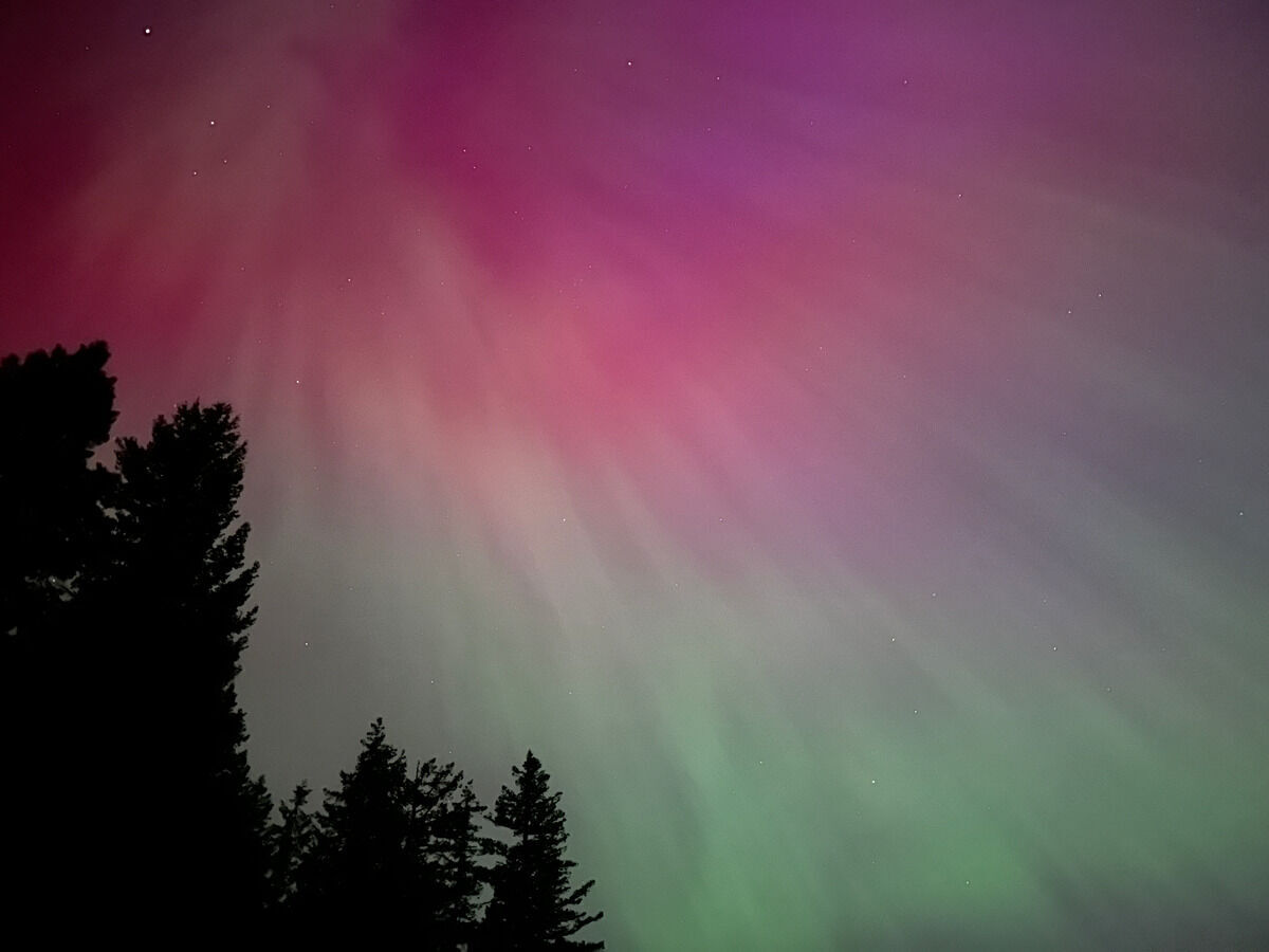
I would love to be able to do this one again differently, but given that I found out than an aurora was happening the day of, I can’t be too bummed about it. Grateful to have even gotten to see such a rare phenomenon here in Washington at all.
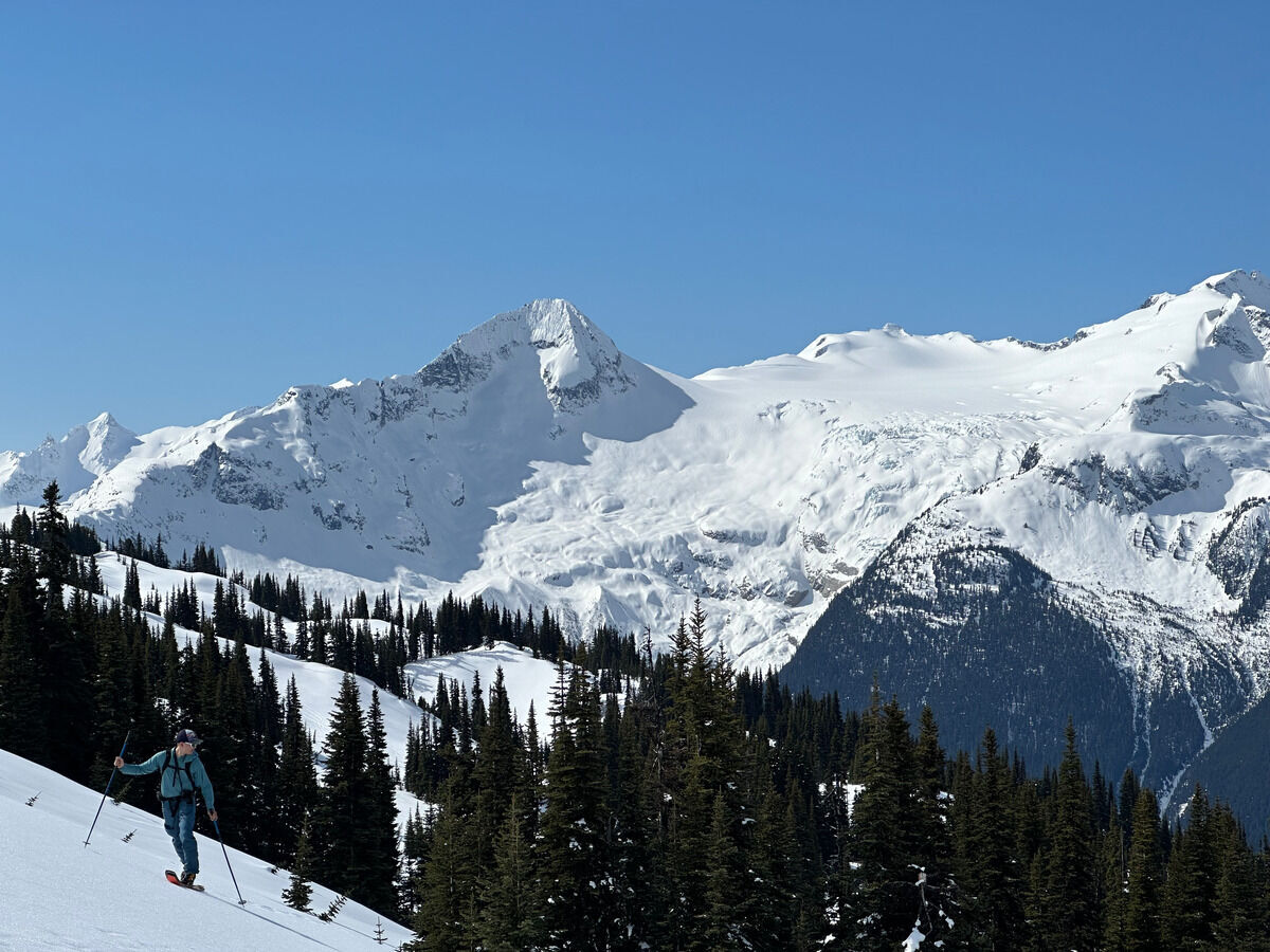
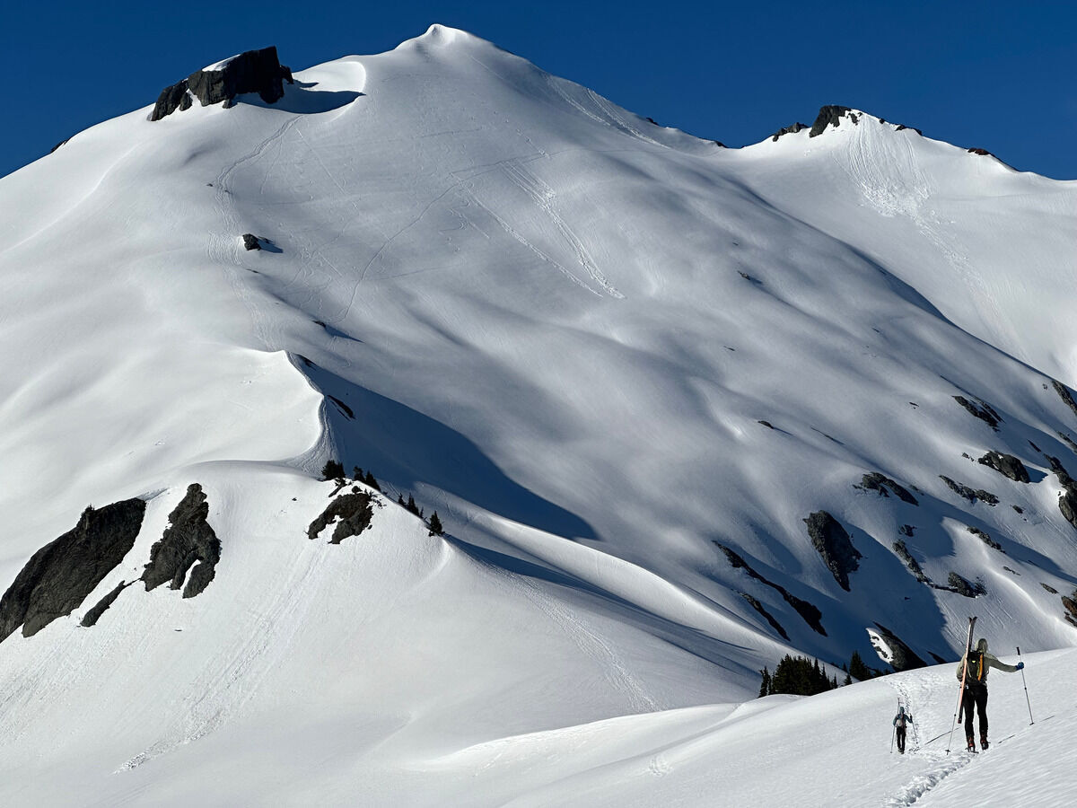
The coastal mountains of British Columbia are a magical place. I was a little worried coming into this with the historically bad lower-elevation snowpack, but it ended up not detracting from the experience whatsoever. Indeed, the conditions at the bottom of the Whistler resort were a little dire, but it was sooo white once you got up in the mountains proper.
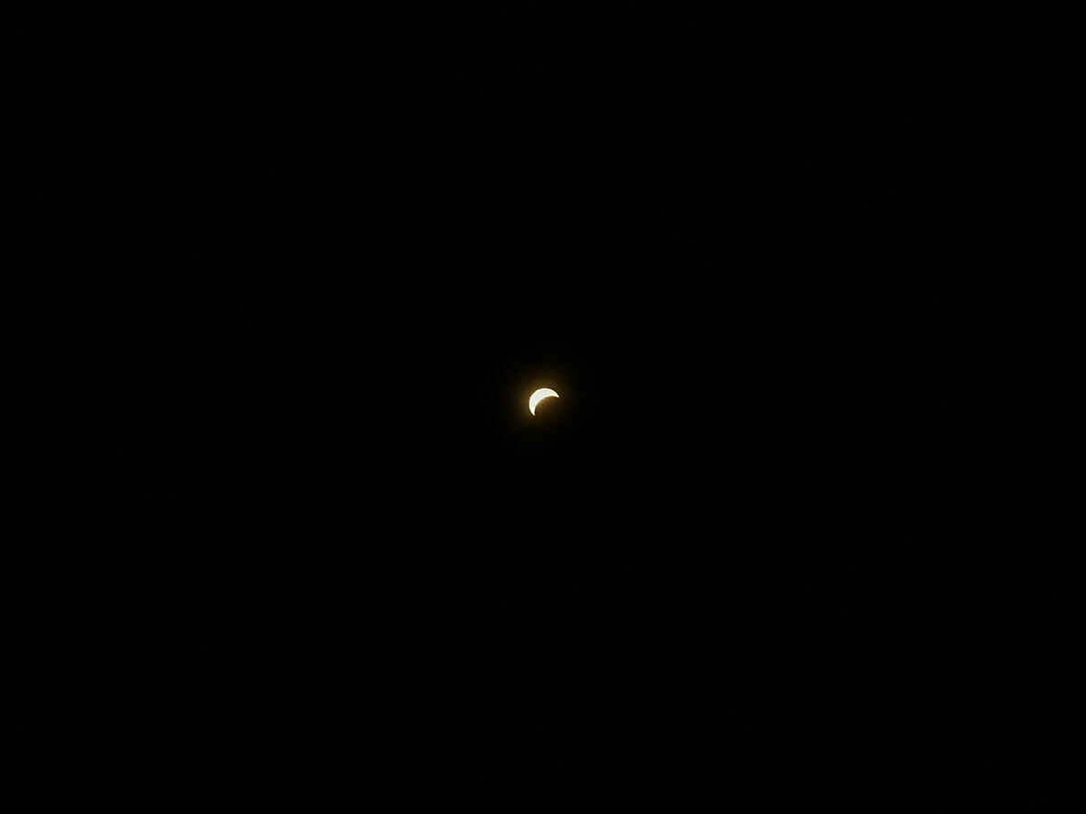
Bit of a different one. One of my big life regrets in life is not seeing the total solar eclipse in August 2017. In hindsight, I realistically could have made it to Santee, South Carolina as a reasonable day/overnight trip from the D.C. metro area. It’s entertaining thinking where else I could have been, and it’s been fun to hear from friends where they were when they saw it (map of trajectory).
It must’ve been a true spectacle to be on Mount Jefferson in Oregon, most of the southern Idaho ranges, and the Tetons or Winds in Wyoming. I think mathematically it’s going to be a looong time before the solar eclipse passes over that part of the American West again.
I can’t be too hard on myself, since I was only two weeks into a new job and really didn’t know anything about it at all until we were handed the solar eclipse glasses the day of. In Virginia, we had an 81% obscuration, so I still did take part in a bit of the experience as well as seeing the resultant pinhole effect. But finding out later what I missed, I had to see the real thing.
A Fifty Classic Ski Descent of North America that I’ve been looking forward to for a long time. This one was especially special since Chris and I crossed paths interning at some random company back in my hometown on the east coast many lifetimes ago.
A warmup and scope out of the snow conditions around the Mount Baker Ski Area. Chris is so speedy!
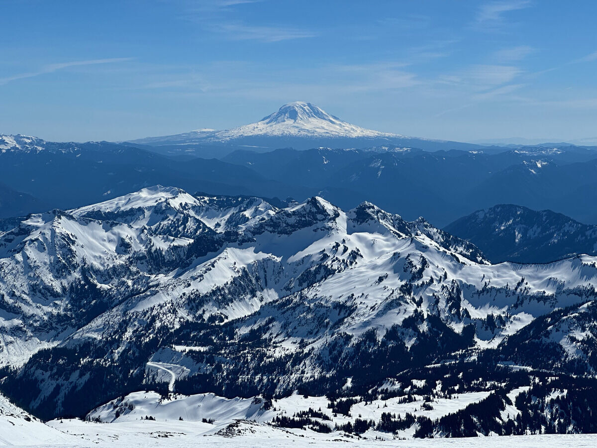
Can’t remember why I came up here since Camp Muir is a relatively uninteresting objective, but still good to check out the area.
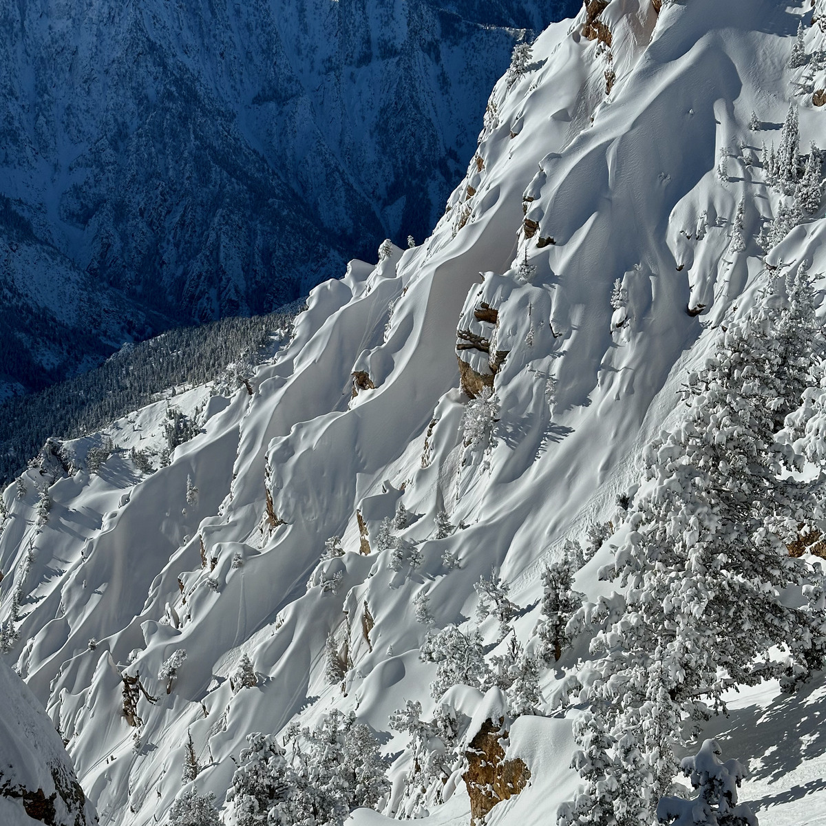
A lot of sentimental value coming back here as the Wasatch were my first “real” mountains I saw up close, and where I learned to really ski, which is probably responsible for this whole phase of my life. I wanted to write an entry for each outing I did in Utah but frankly I didn’t have that many pictures that I felt were all that scenic, so combining all of the pictures into one post with a bit of thoughts at the end.
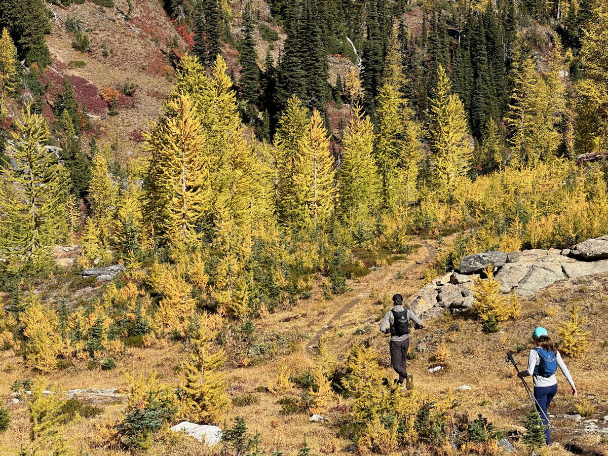
A nice group run to see some larches in the Chiwaukum Range. I should come here more often.
A failed attempt to get up Gothic and Del Campo peaks due to time but a great outing to decompress after work.
My friend Haram ran the Teanaway 100, a pretty hard 100 mile ultramarathon here in Washington with around 30000 feet of gain, and did it with almost no training (no exaggeration). And he managed to place 7th out of 23 at 32.5 hours, so a pretty decent performance. His previous biggest day was running the Enchantments, a mere 18 miles with 5000 vert - pretty bonkers accomplishment if you work out the ratio of performance to time spent/effort invested.