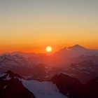
Pemberton Icefield
Sometimes you click around on Google Maps and you wonder about all of the weird places that are out there. The ones that are “close” to home are sometimes the most intriguing. After all, if some of these places are right there, why is no one going?
The Pemberton Icefield has been one of those regions to me. The Lillooet Icefield too to a lesser extent, but that’s much more remote, and we scrapped it for logistical reasons. Our original route was to climb Overseer Mountain and end at Tricouni, and I still wish we had done that for the aesthetic route quality, but am still super grateful to check out this area.
Day 1: Rutherford Creek → Zener Peak
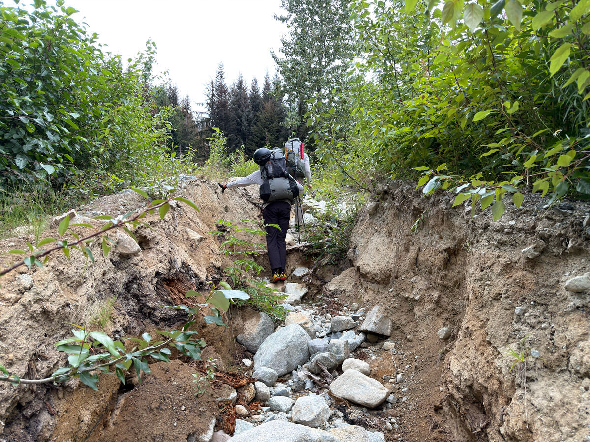 Off we go and up the “road”
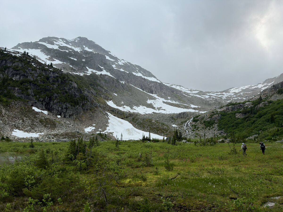
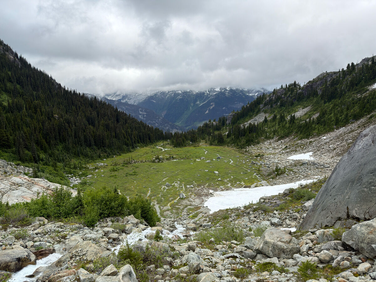
We knew today would not be a day for views. Got here after getting soaked in the brush, and soaked again wading through the marsh
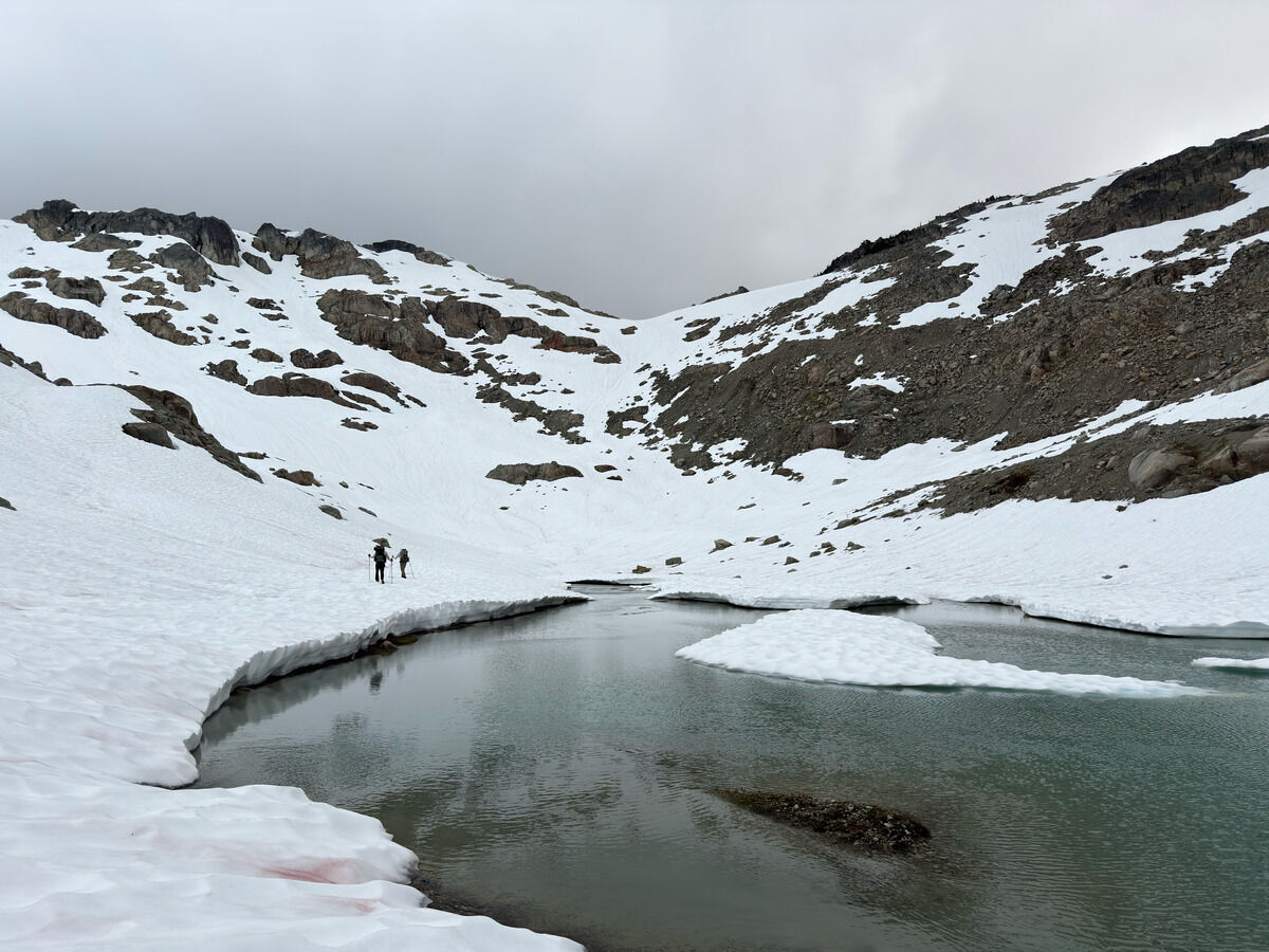 Getting to snow line
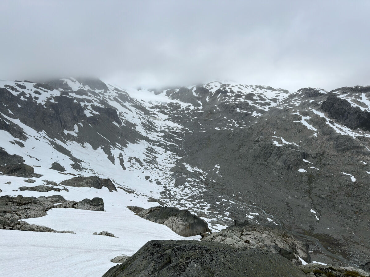 We camped at the bottom of the valley underneath Zener Peak
Day 2: Zener Peak → Little Ring
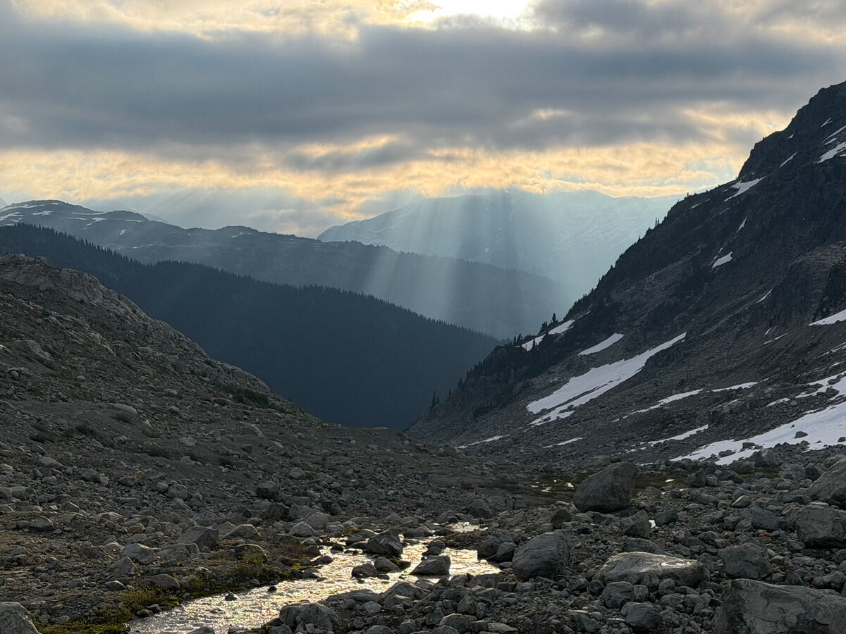
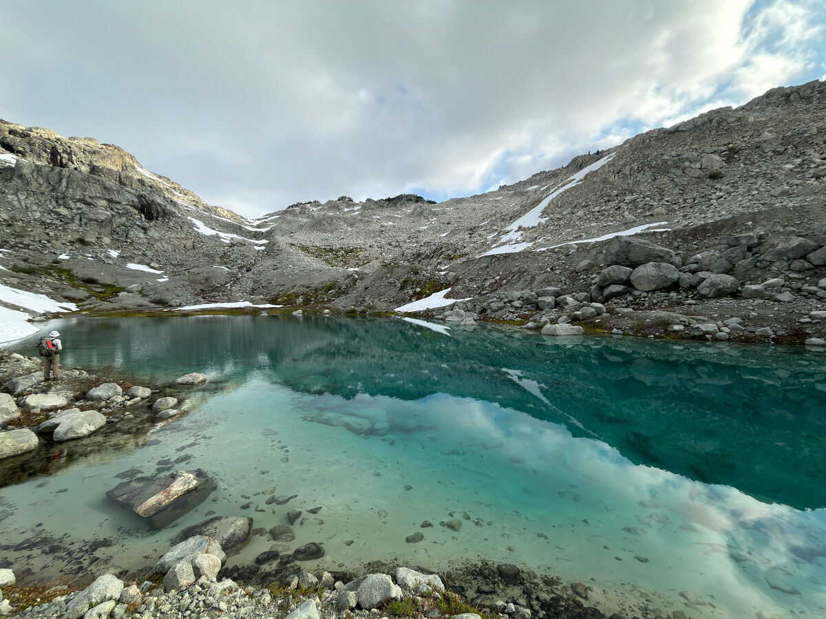
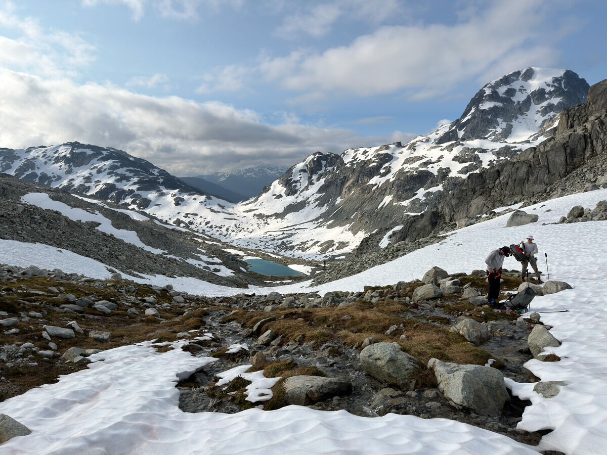
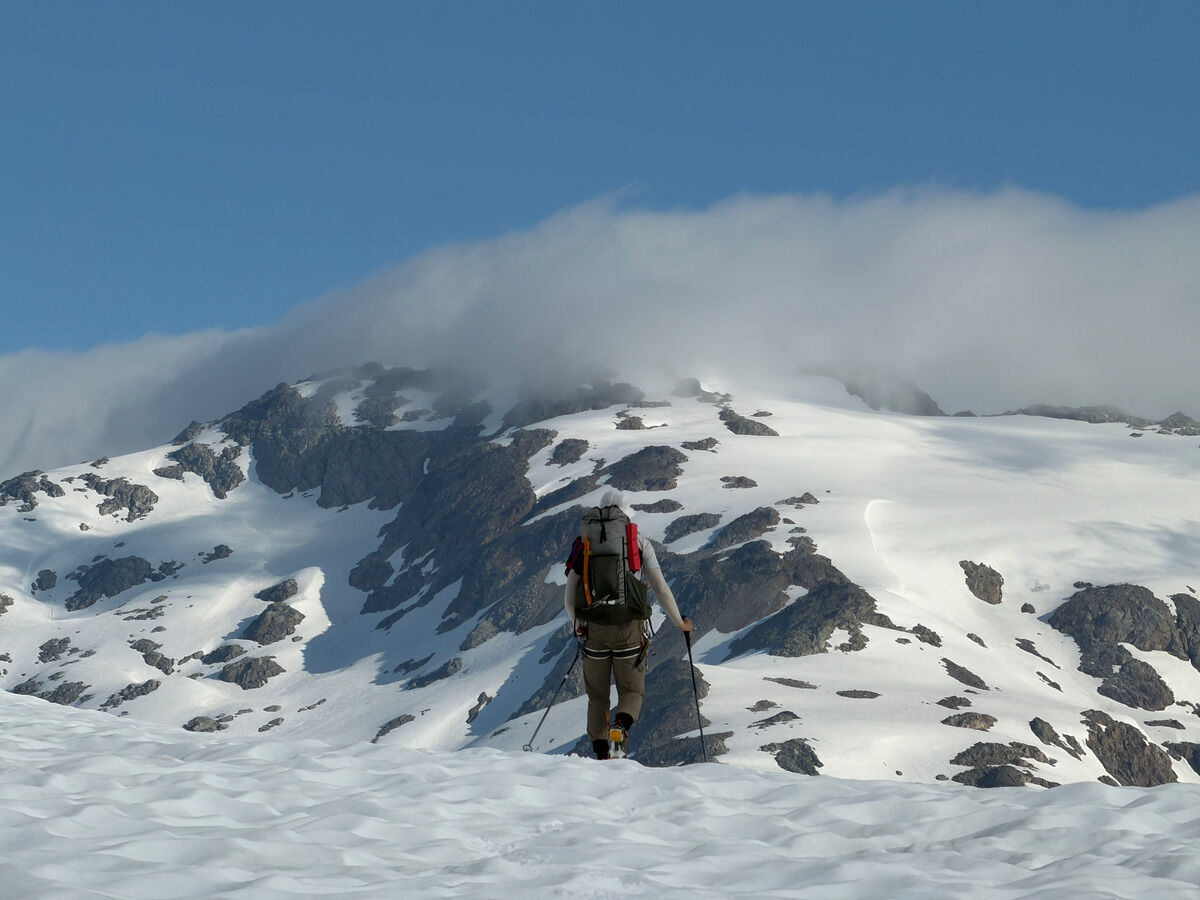 Appa Peak still in the clouds
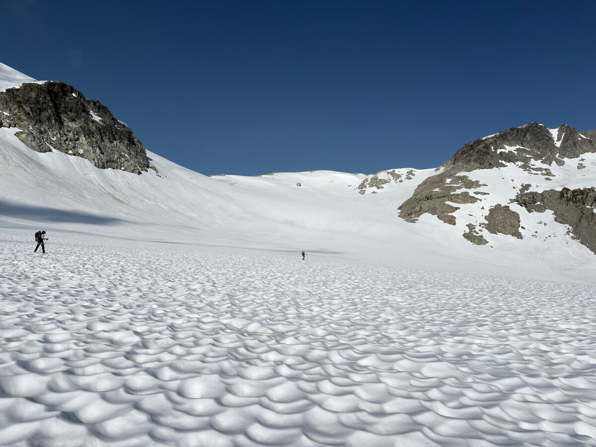 Lot of snow walking today, maybe too much
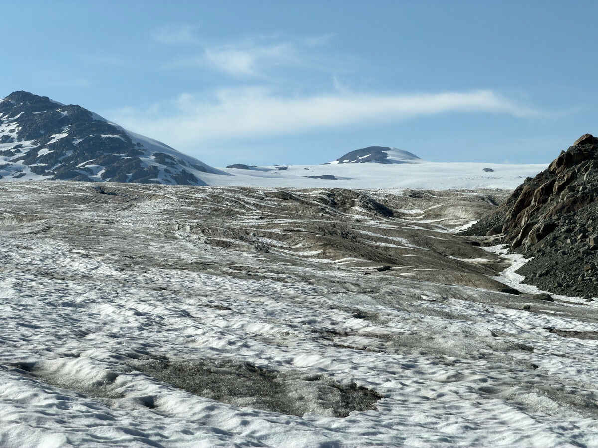
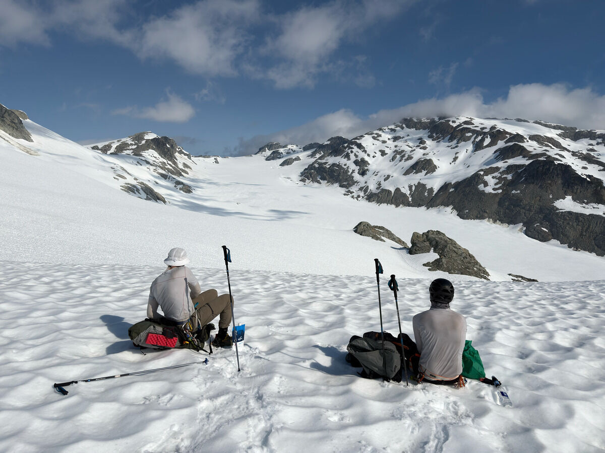 Getting onto the Pemberton Icefield, which is this whole thing we’re about to cross today
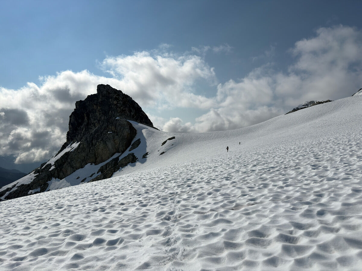
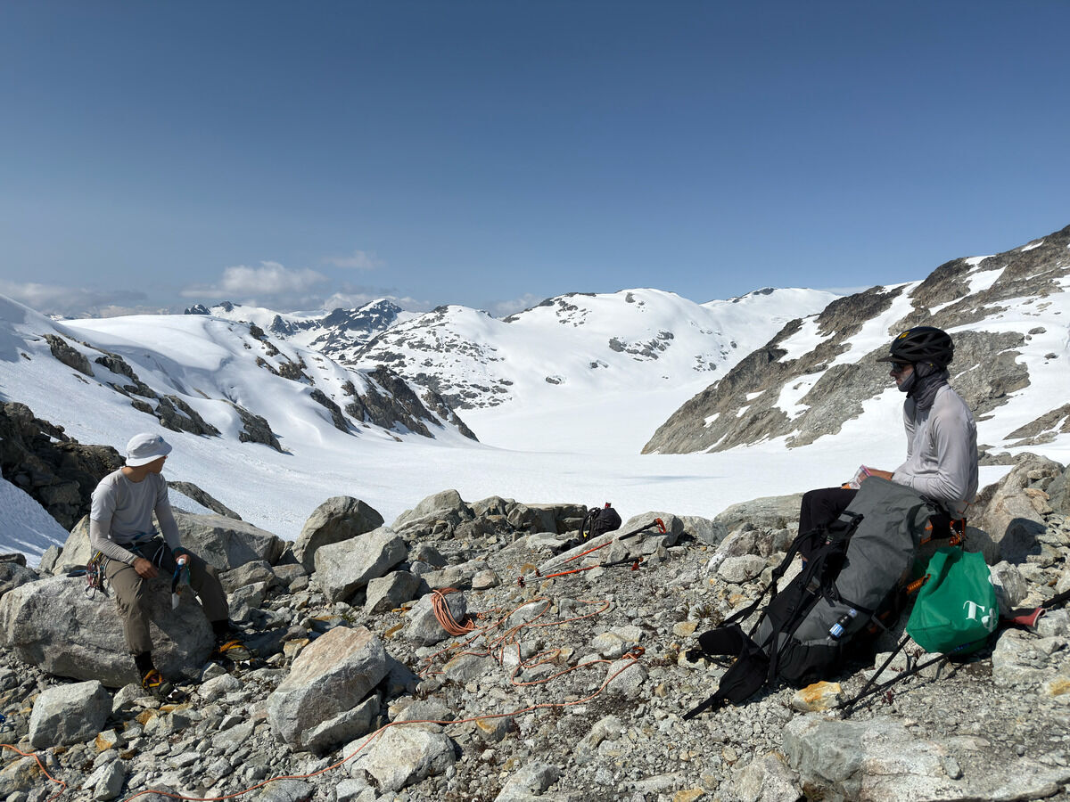 Turning the corner around Mumbai Peak
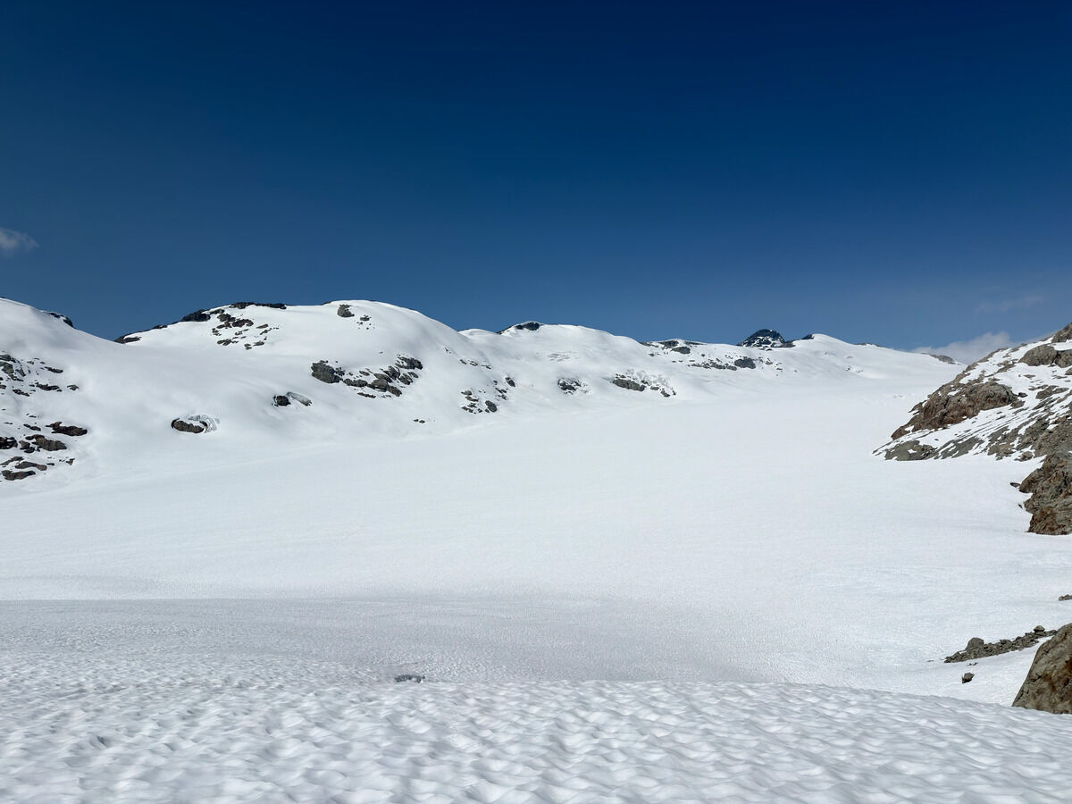 More of the Pemberton Icefield
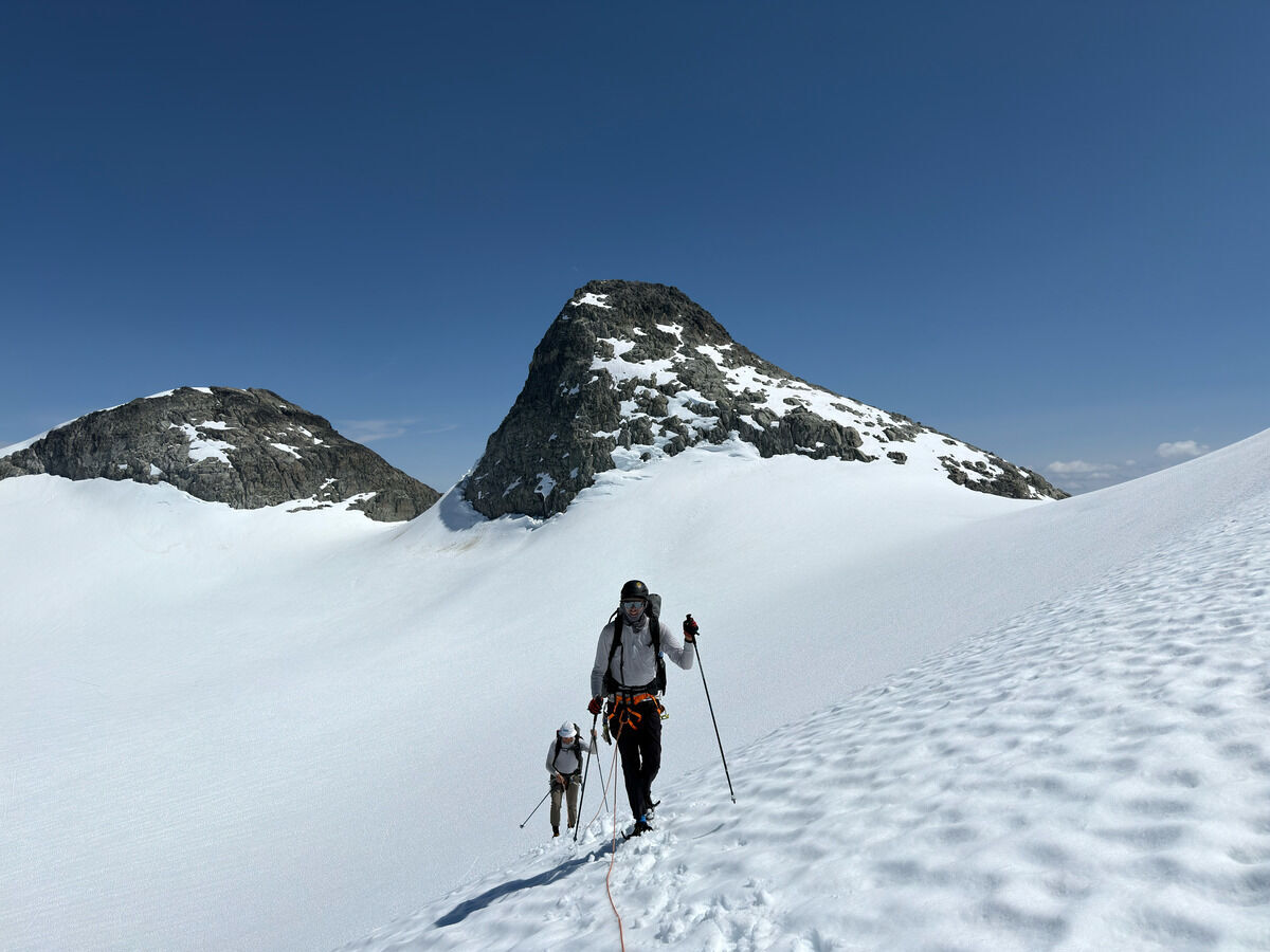 Famine Peak behind
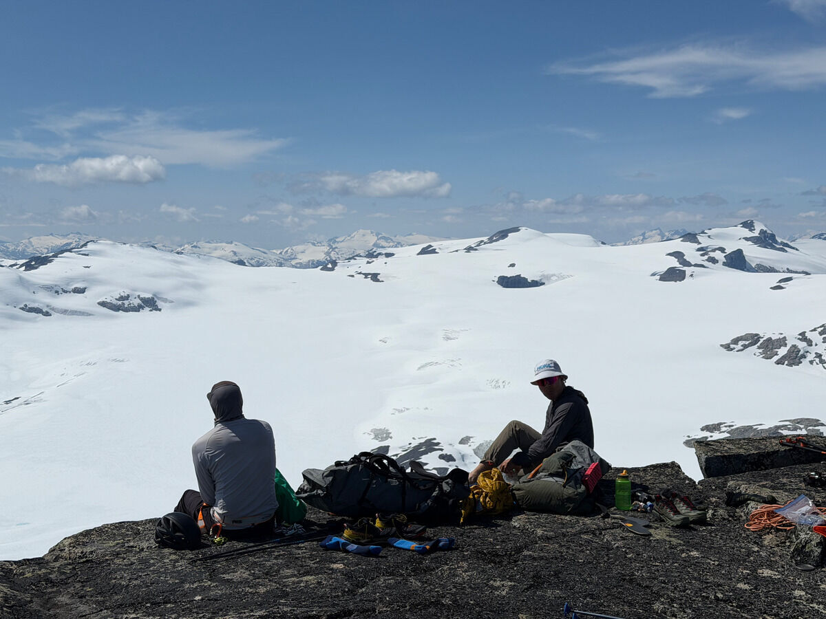
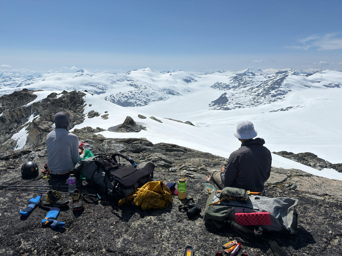 We made it to the feature we called “the nub”, overlooking the central Pemberton Icefield
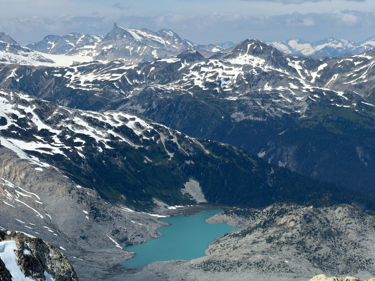 Unnamed glacial lake with Overseer Mountain towering in the background
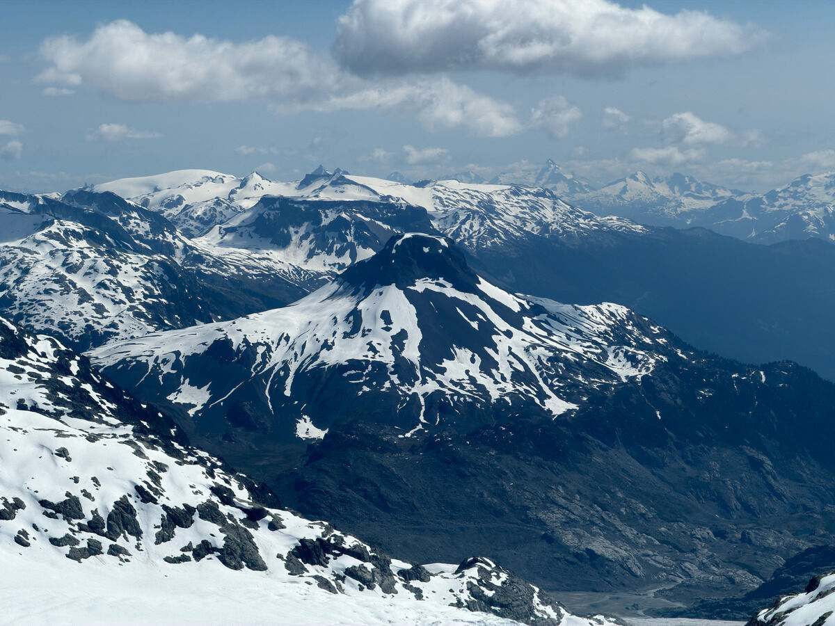
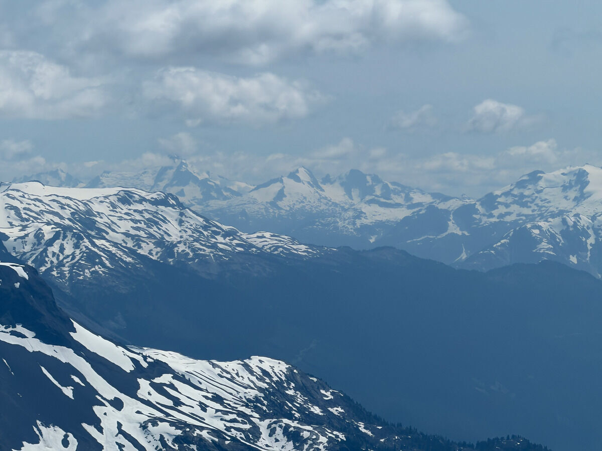
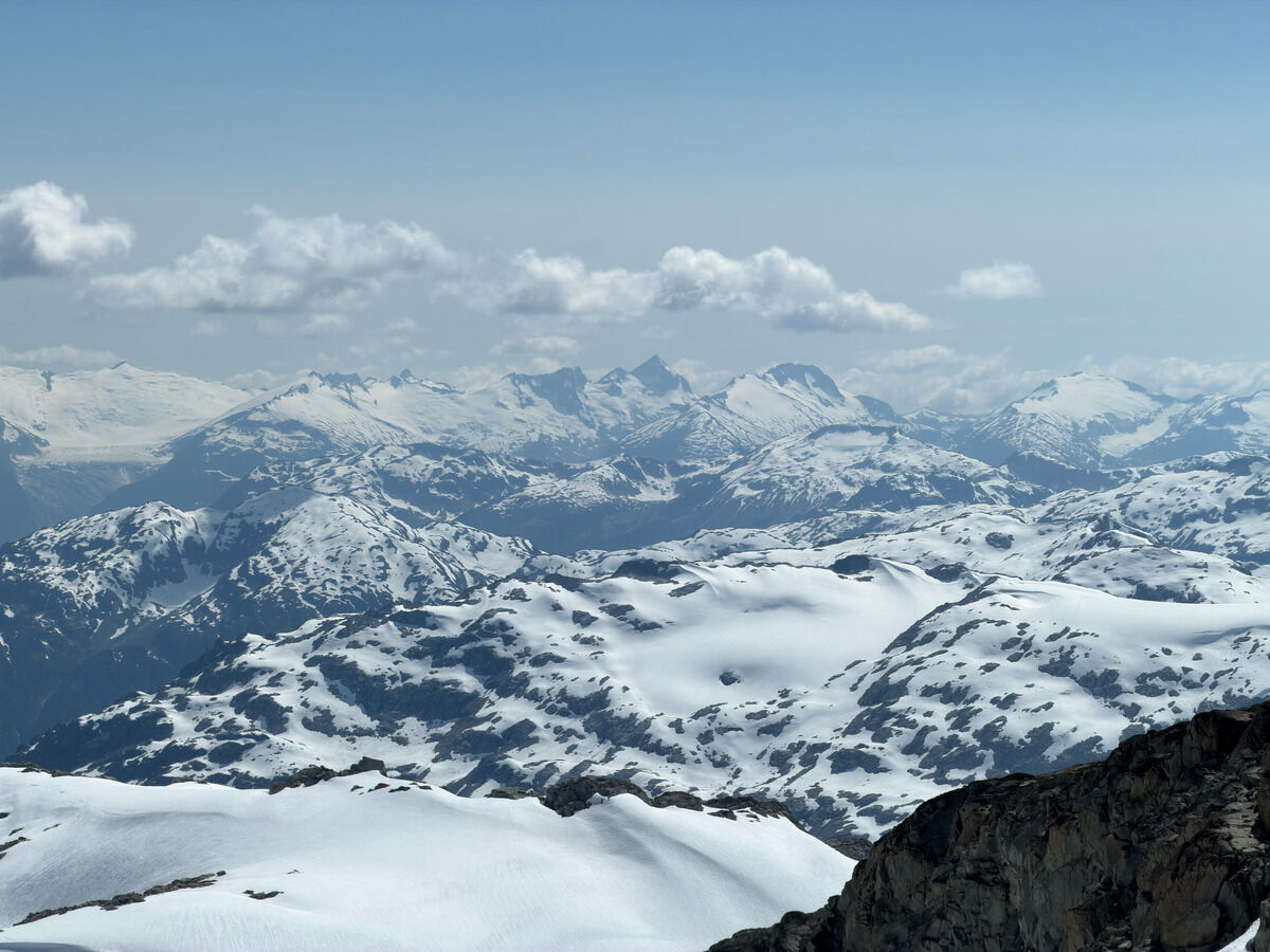
Little Ring Mountain, and some background peaks that completely are foreign to me
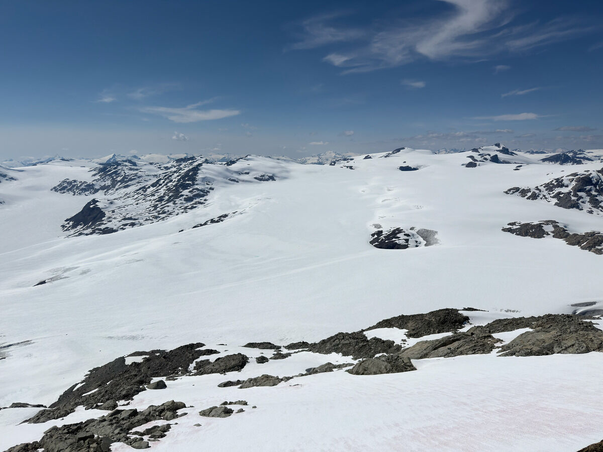 One more look at the meat of the Pemberton Icefield
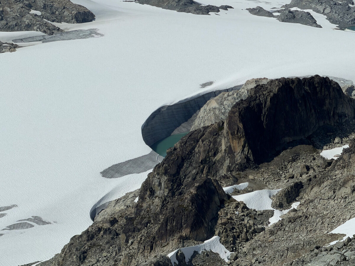 Cool little wind scoop
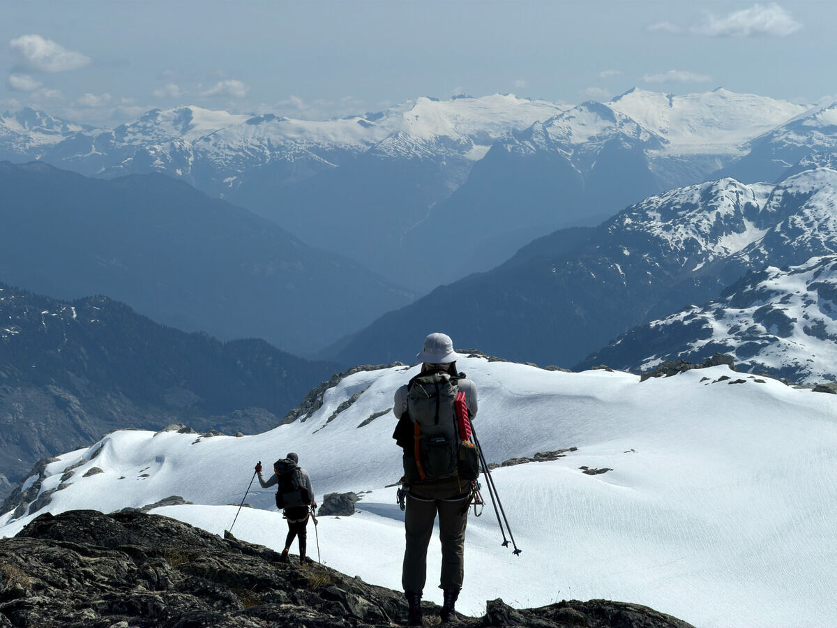
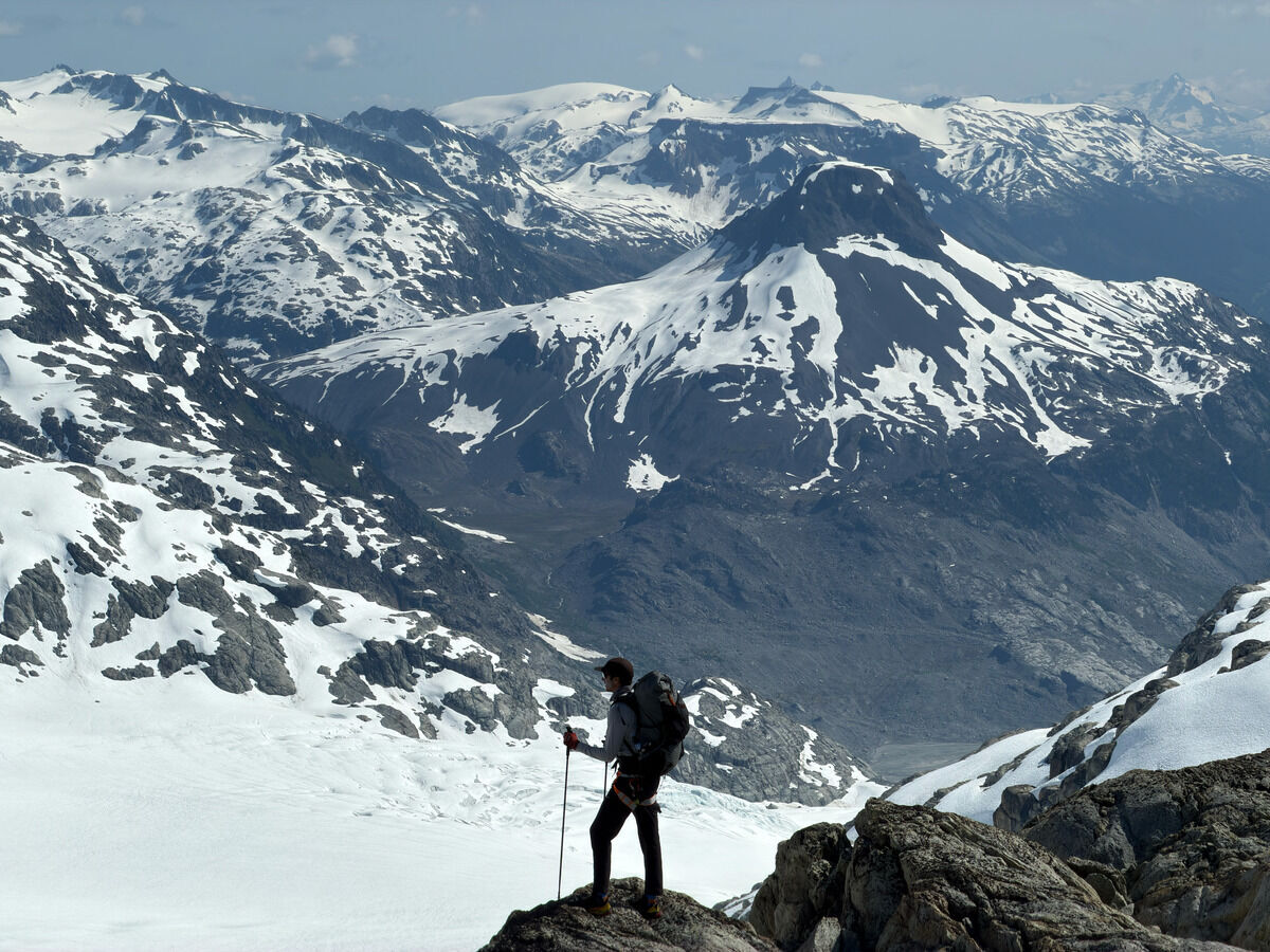
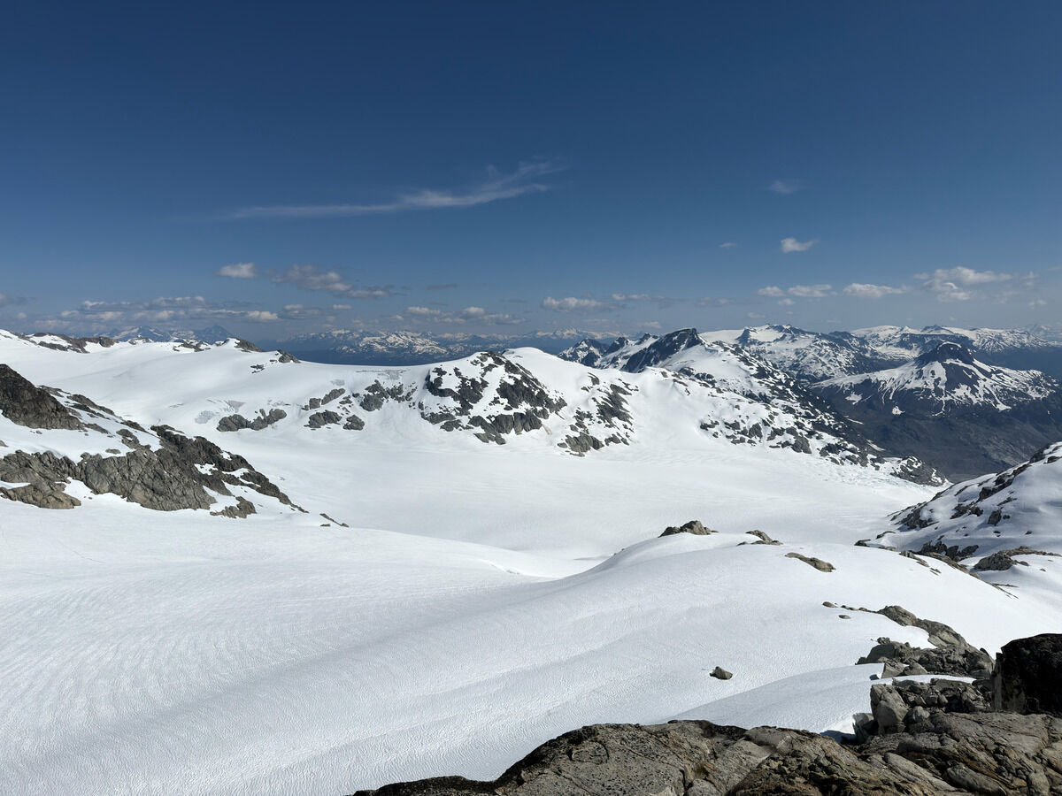
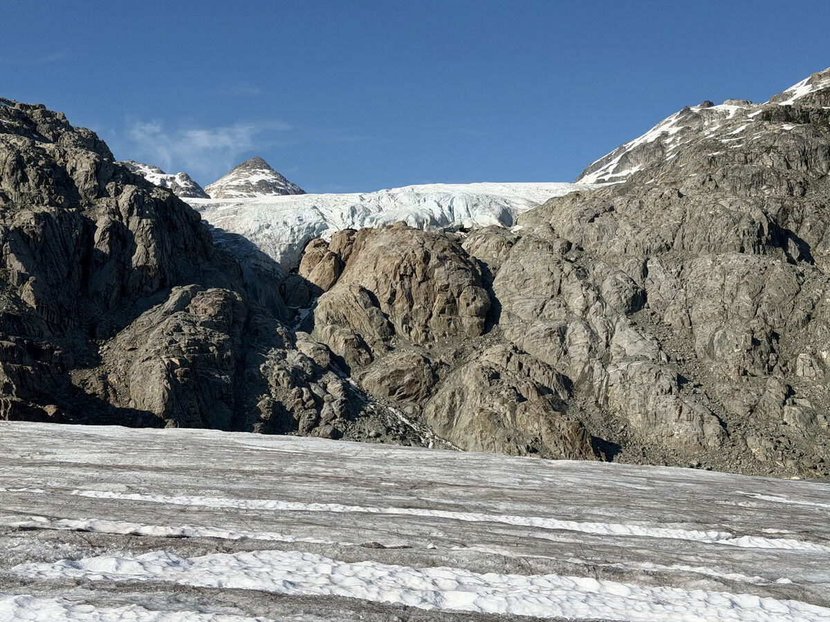
Glaciers everywhere - scroll to see its terminus
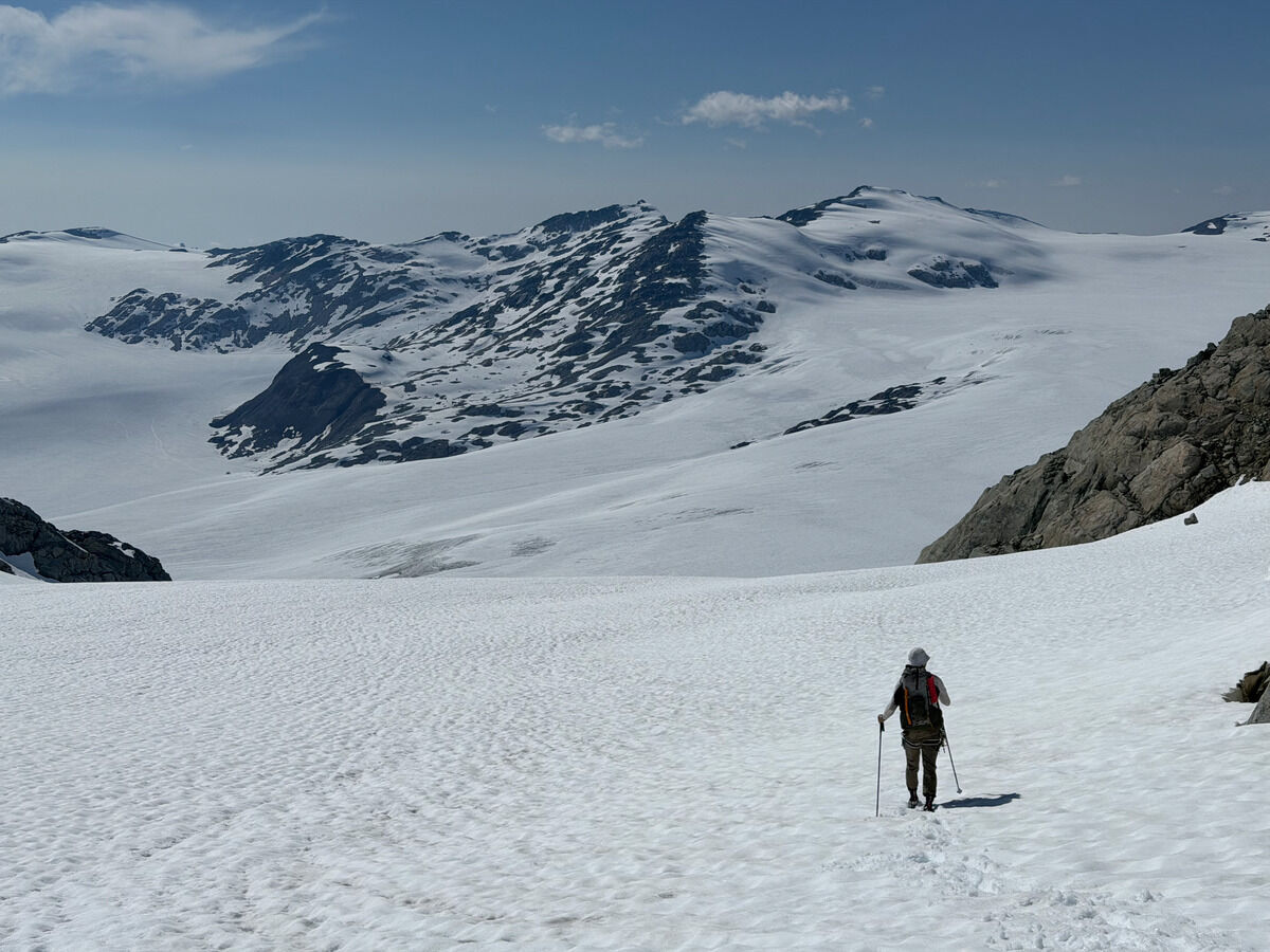
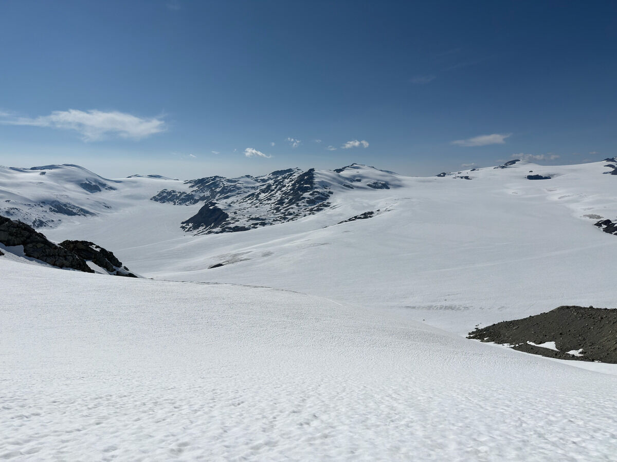
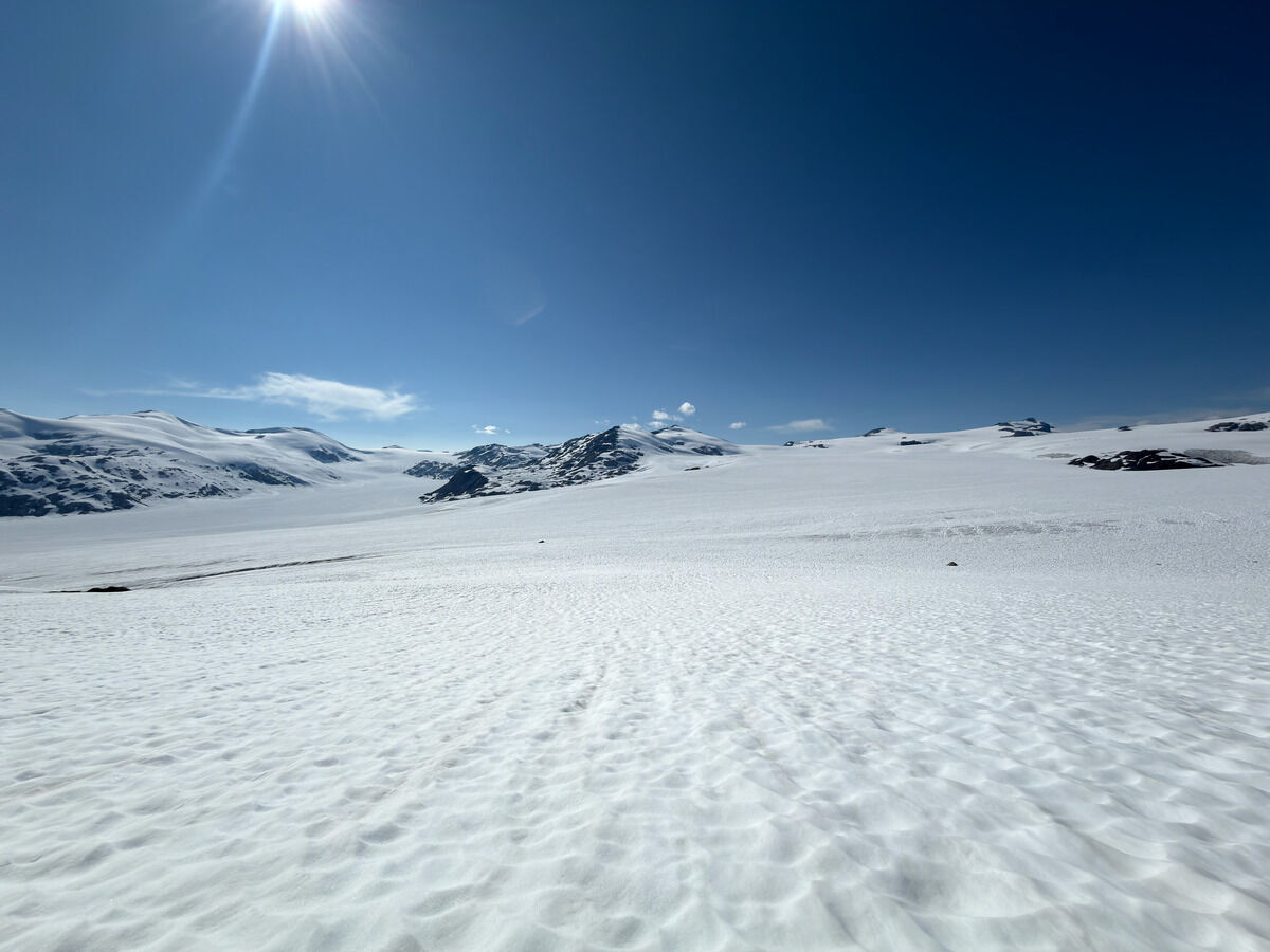
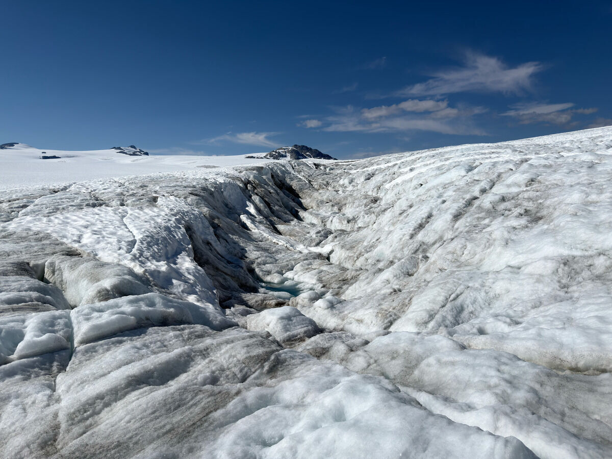
Getting lower and into the meat of it
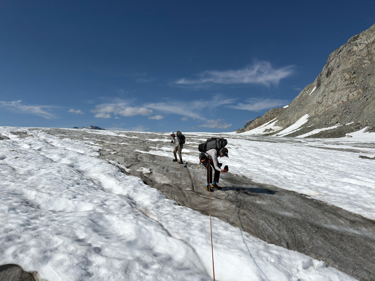 We were fascinated the whole time
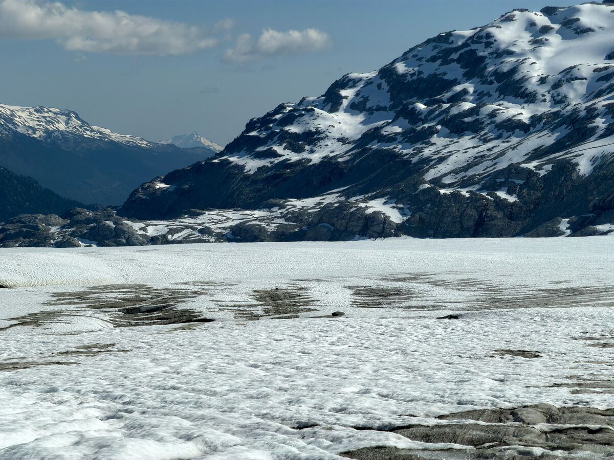
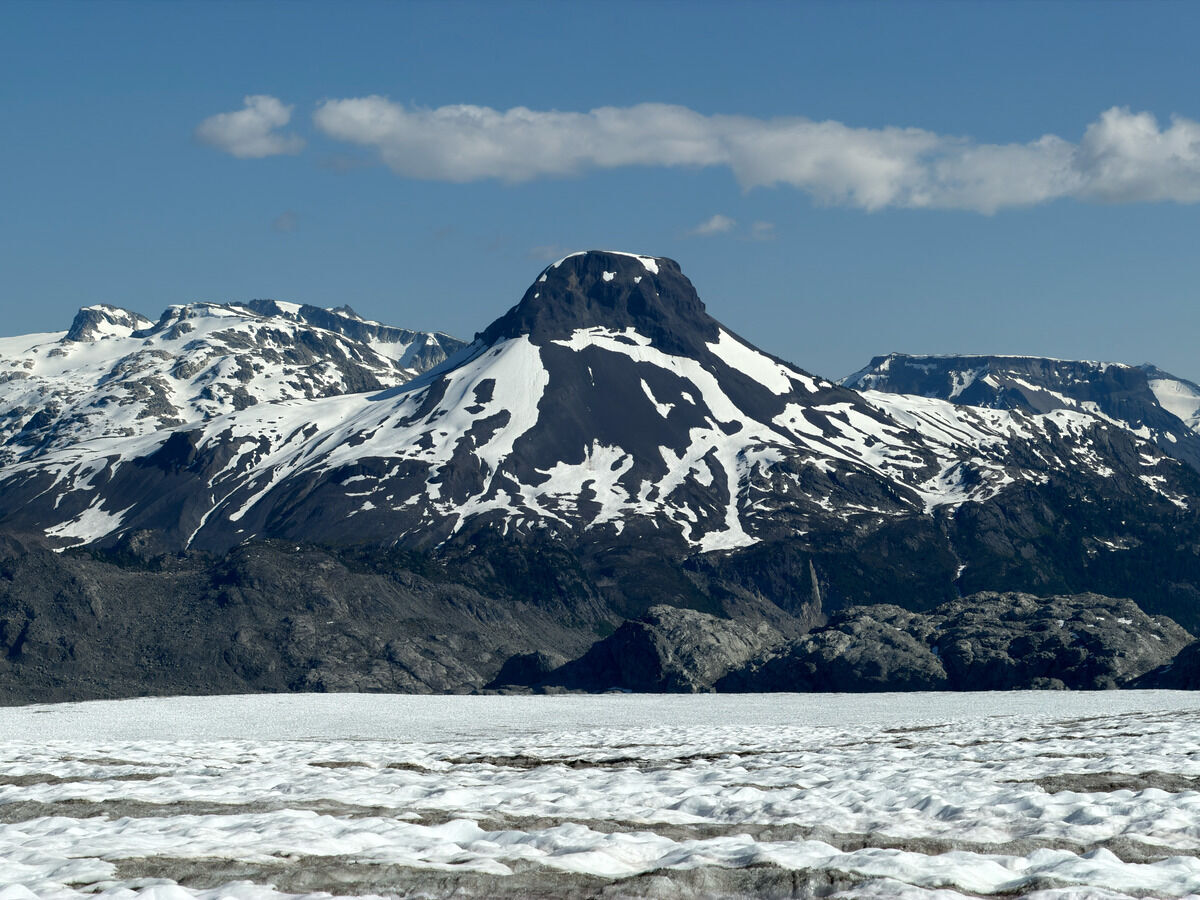
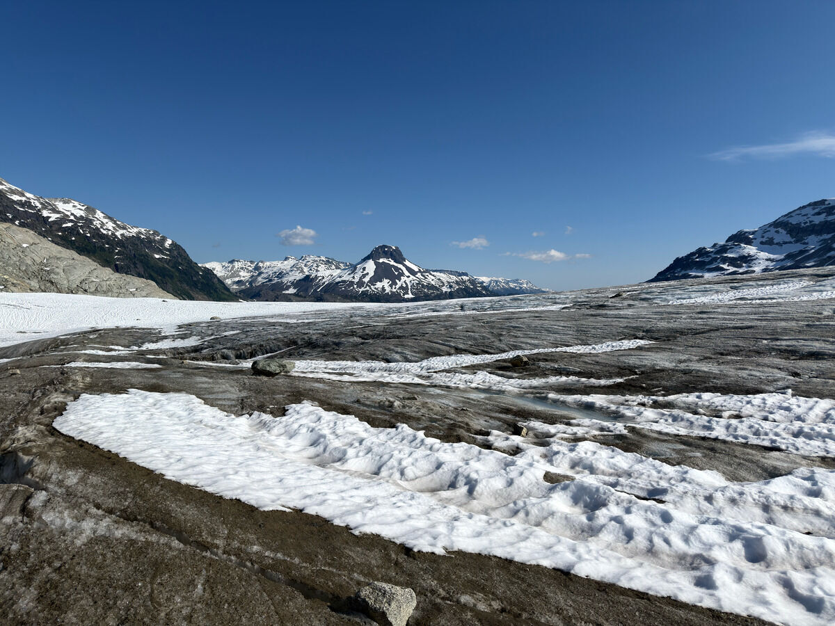
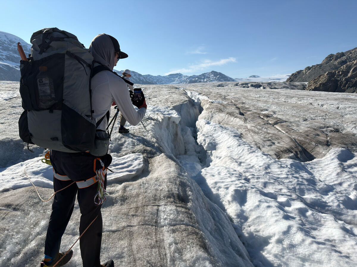 I thought these cracks were quite serious but the group disagreed.
I was of the opinion that one should avoid the snow since they fill in the cracks.
I thought these cracks were quite serious but the group disagreed.
I was of the opinion that one should avoid the snow since they fill in the cracks.
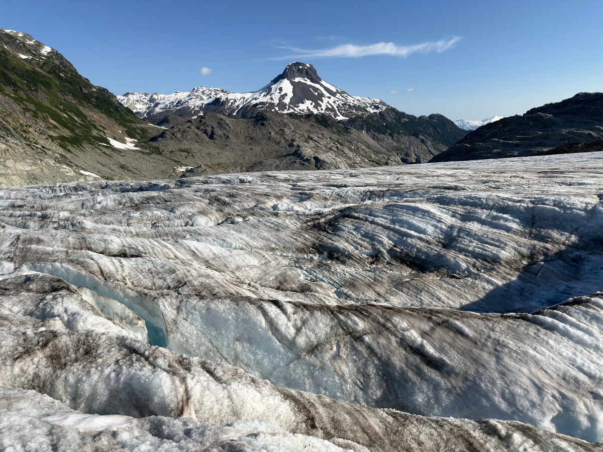
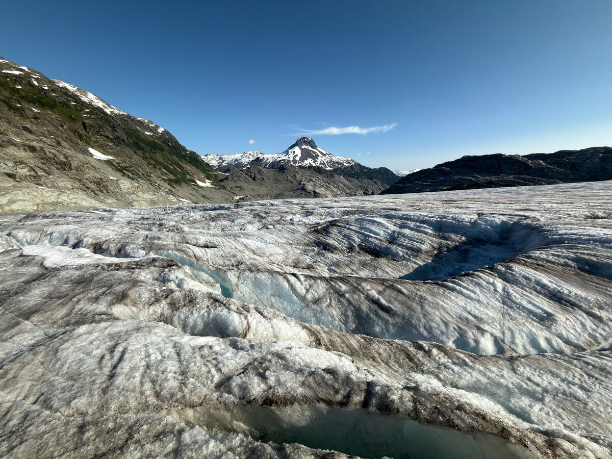
I remarked that this area looked like the ice planet from Interstellar
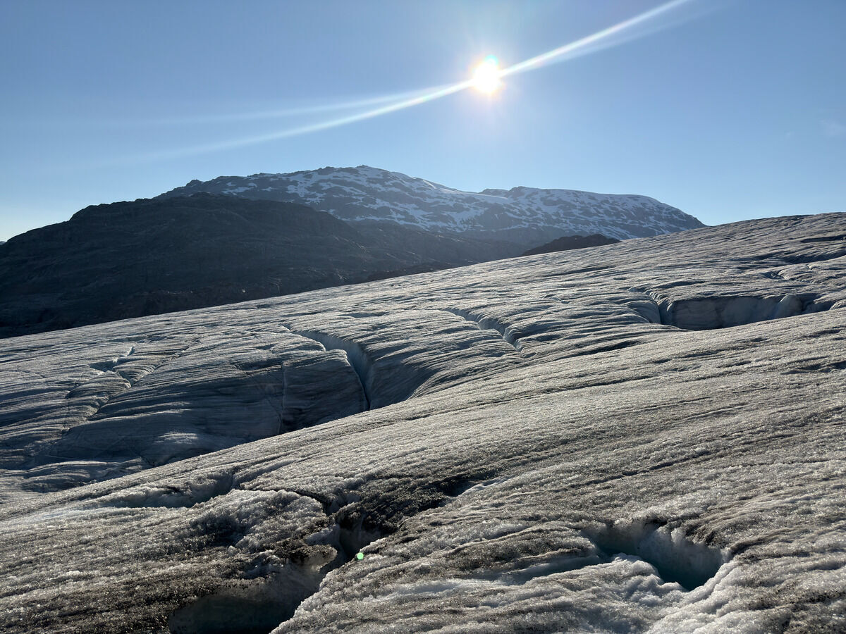 Kyle remarked that this place looked like the red rocks you would find in the desert, and would have no way to know if you put the picture in grayscale
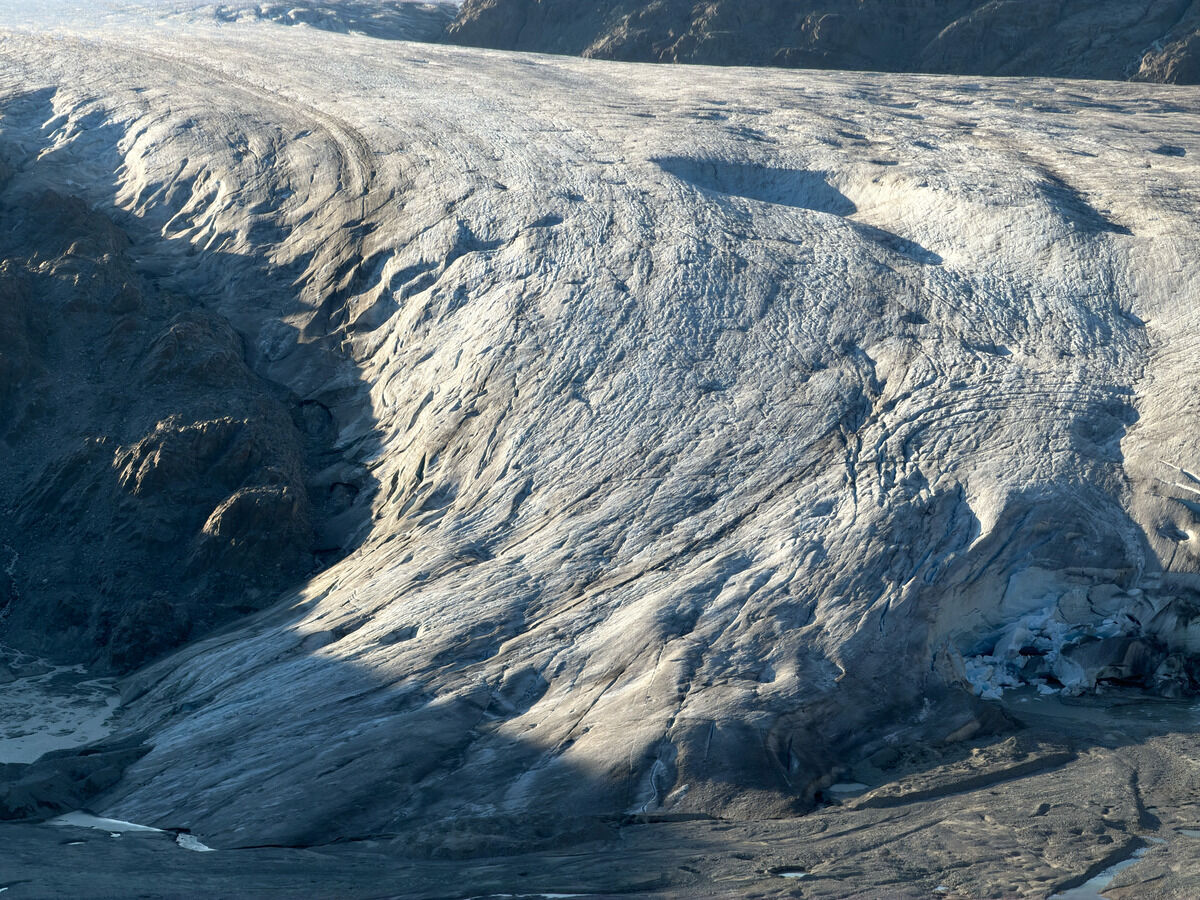
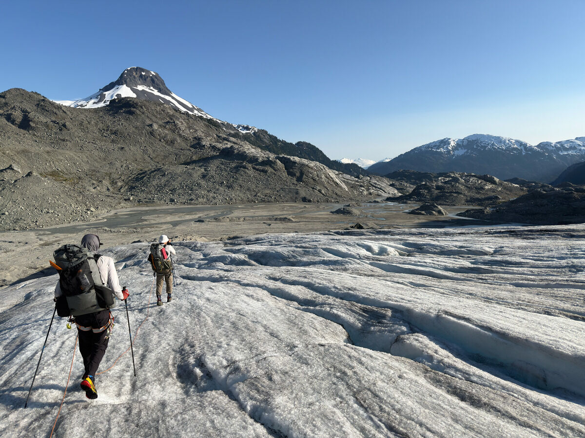 Reaching the end of the icefield
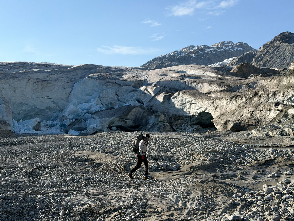 Back on solid ground
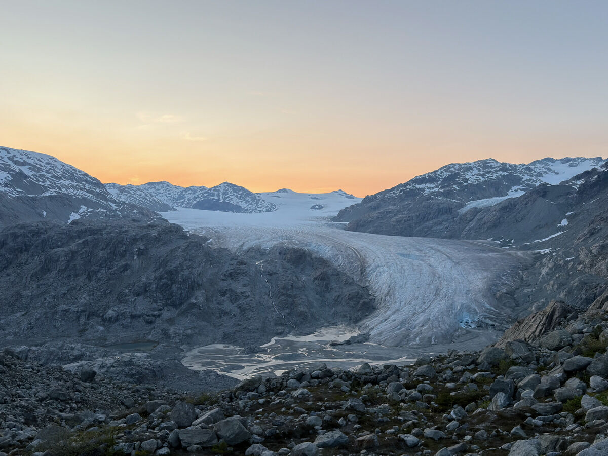
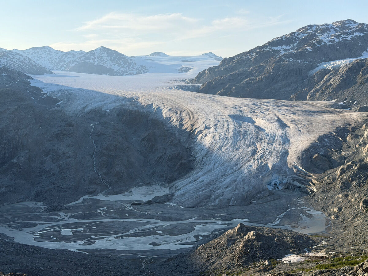 Looking back on this behemoth
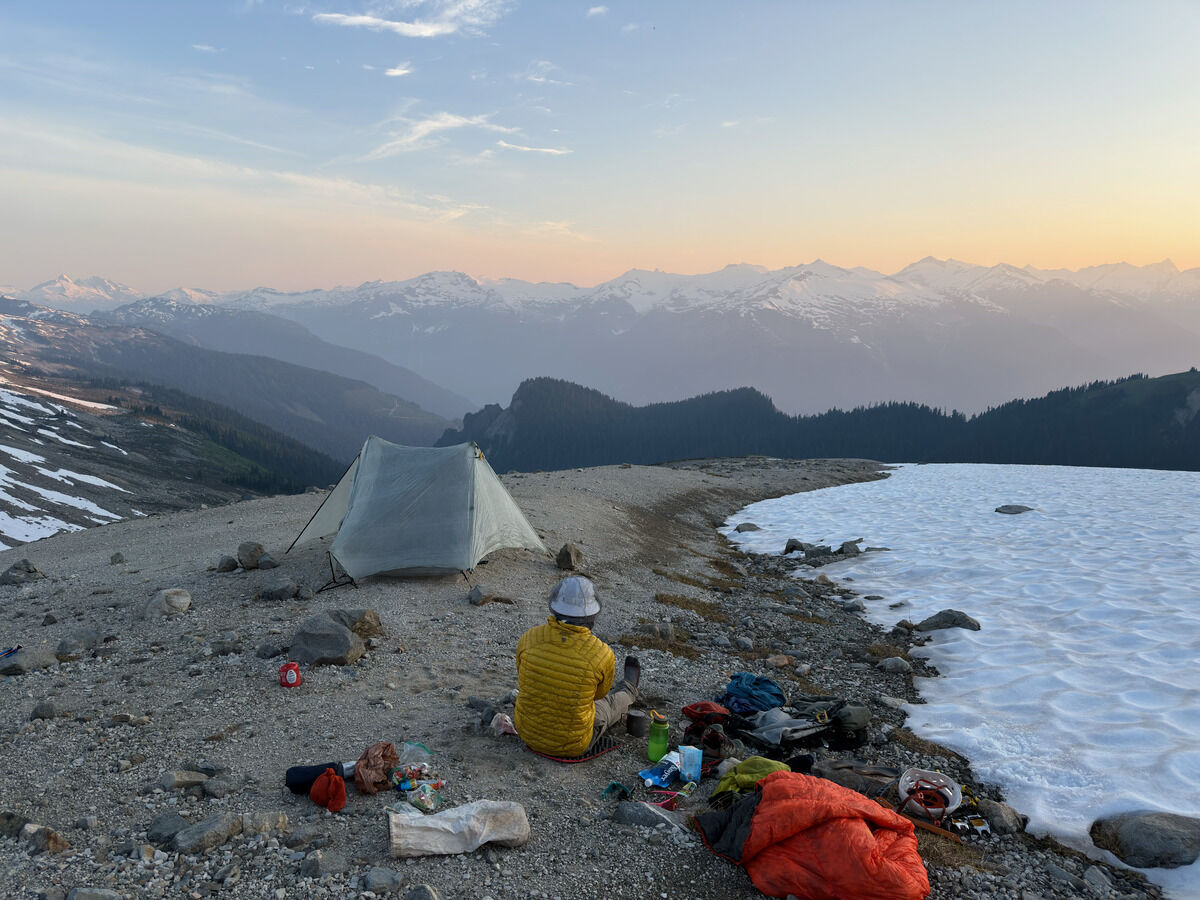
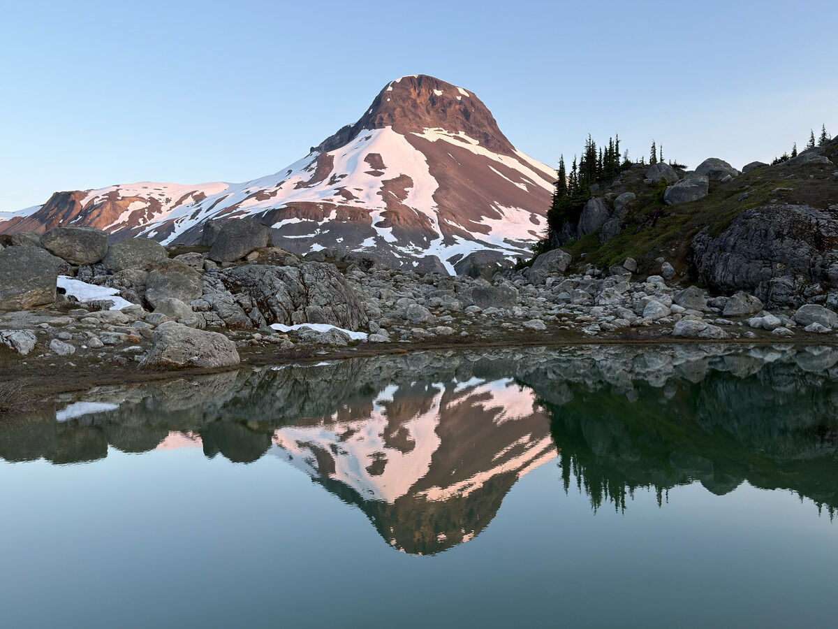 Finally set up camp, evening reflections on Little Ring Mountain
Day 3: Little Ring → Brandywine Mountain
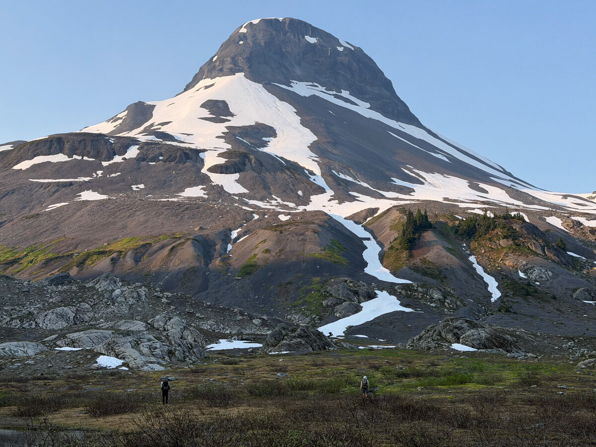 I imagine this is what Africa looks like
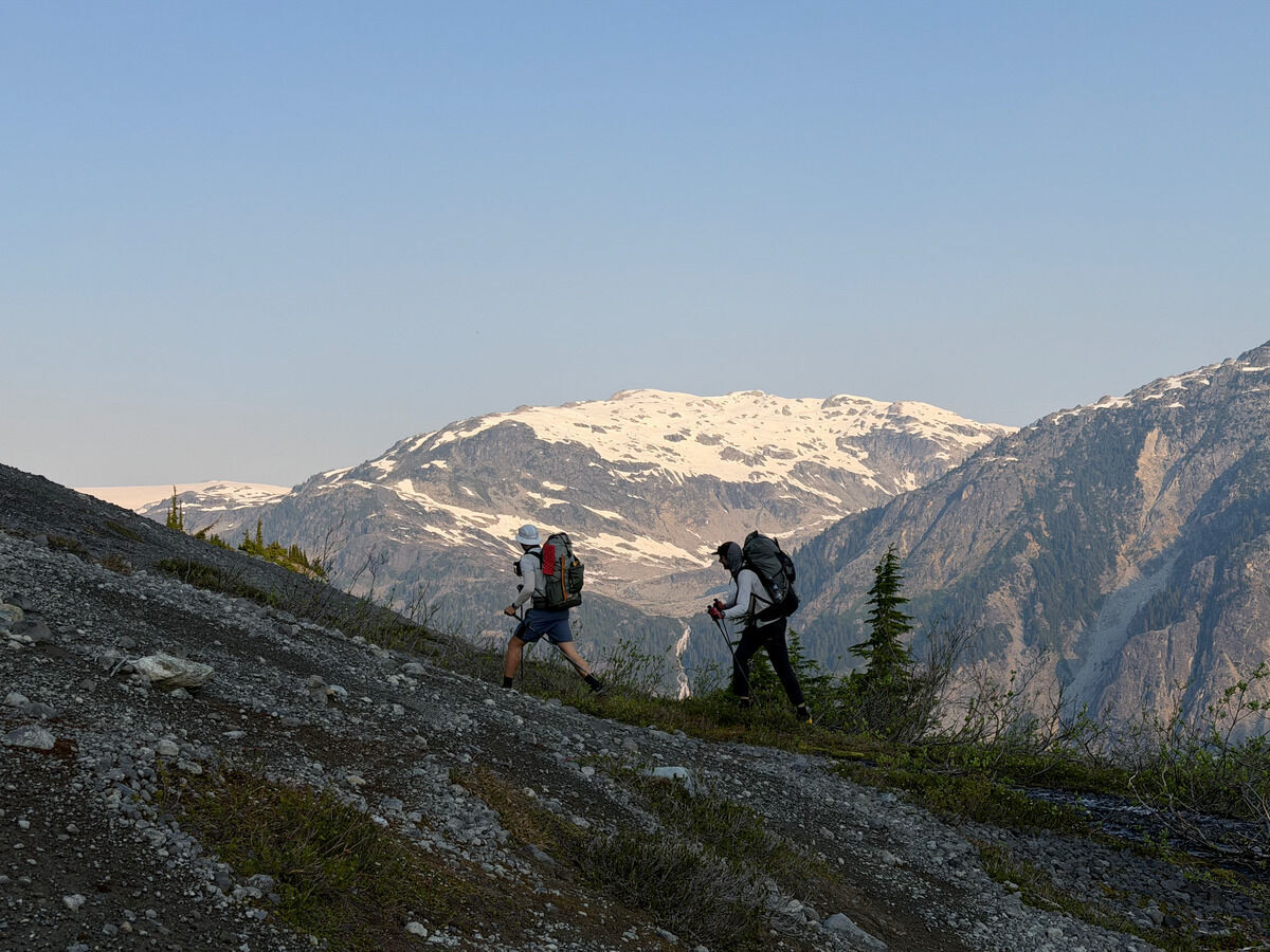
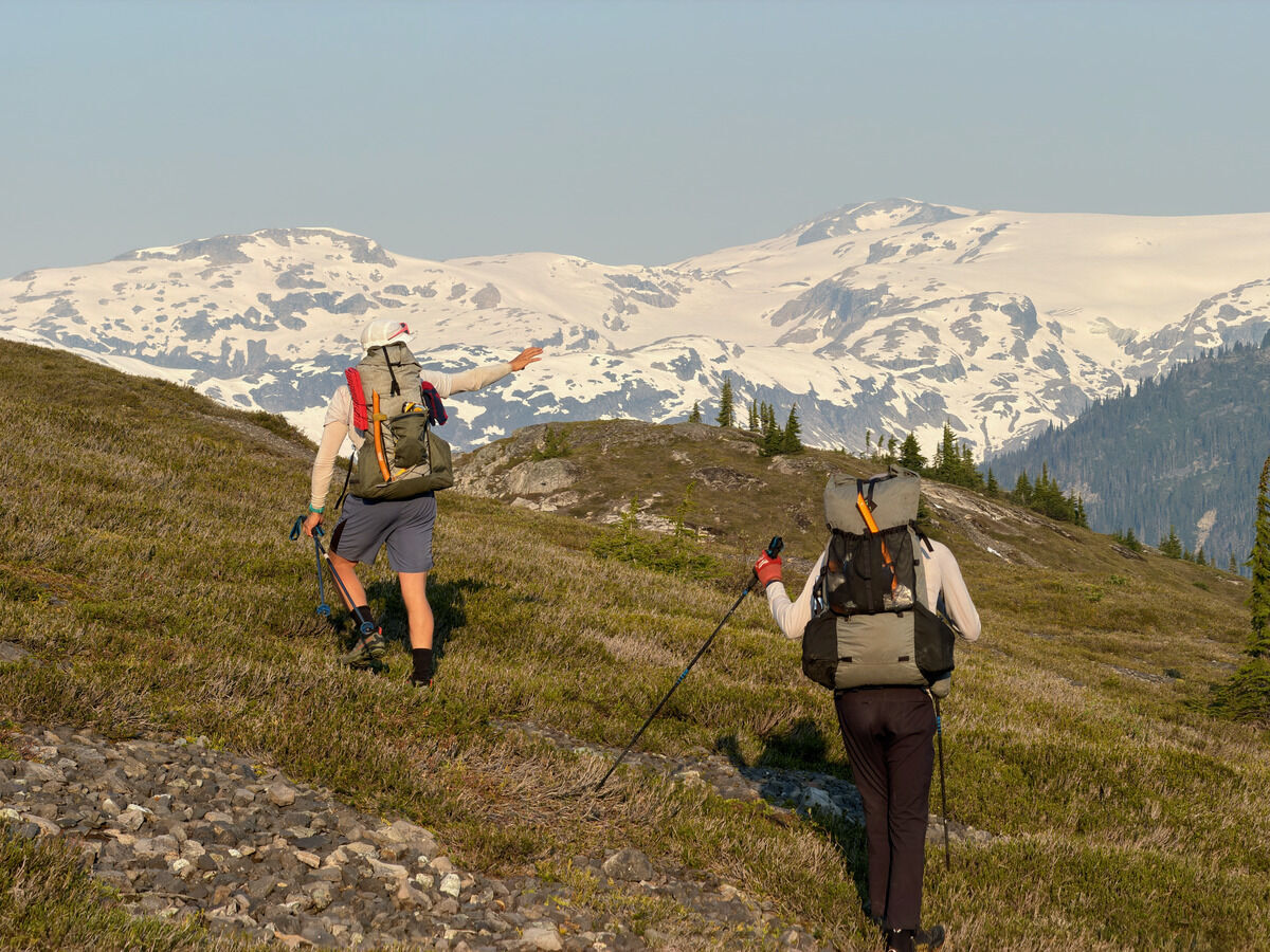
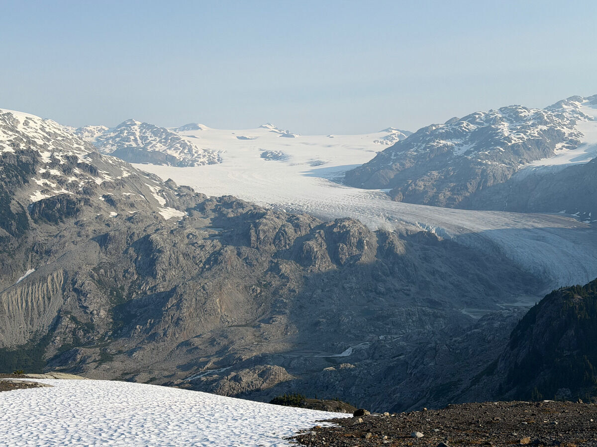
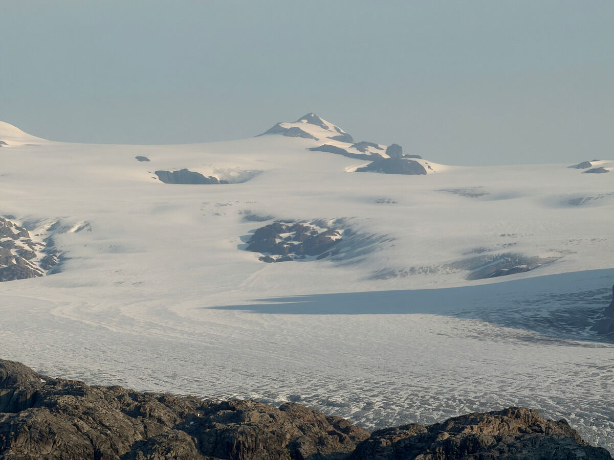
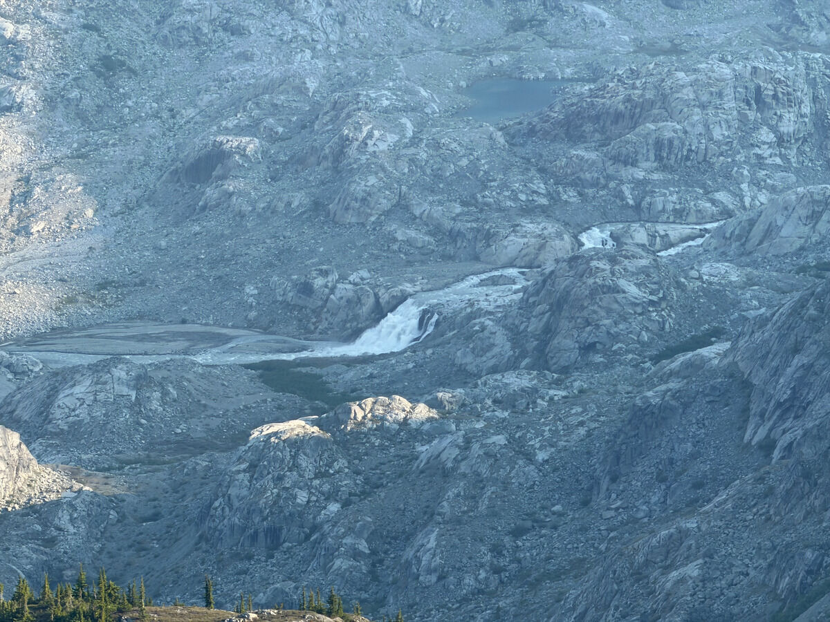
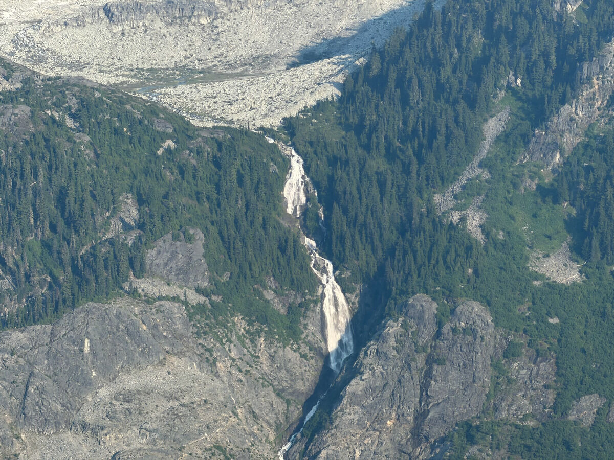
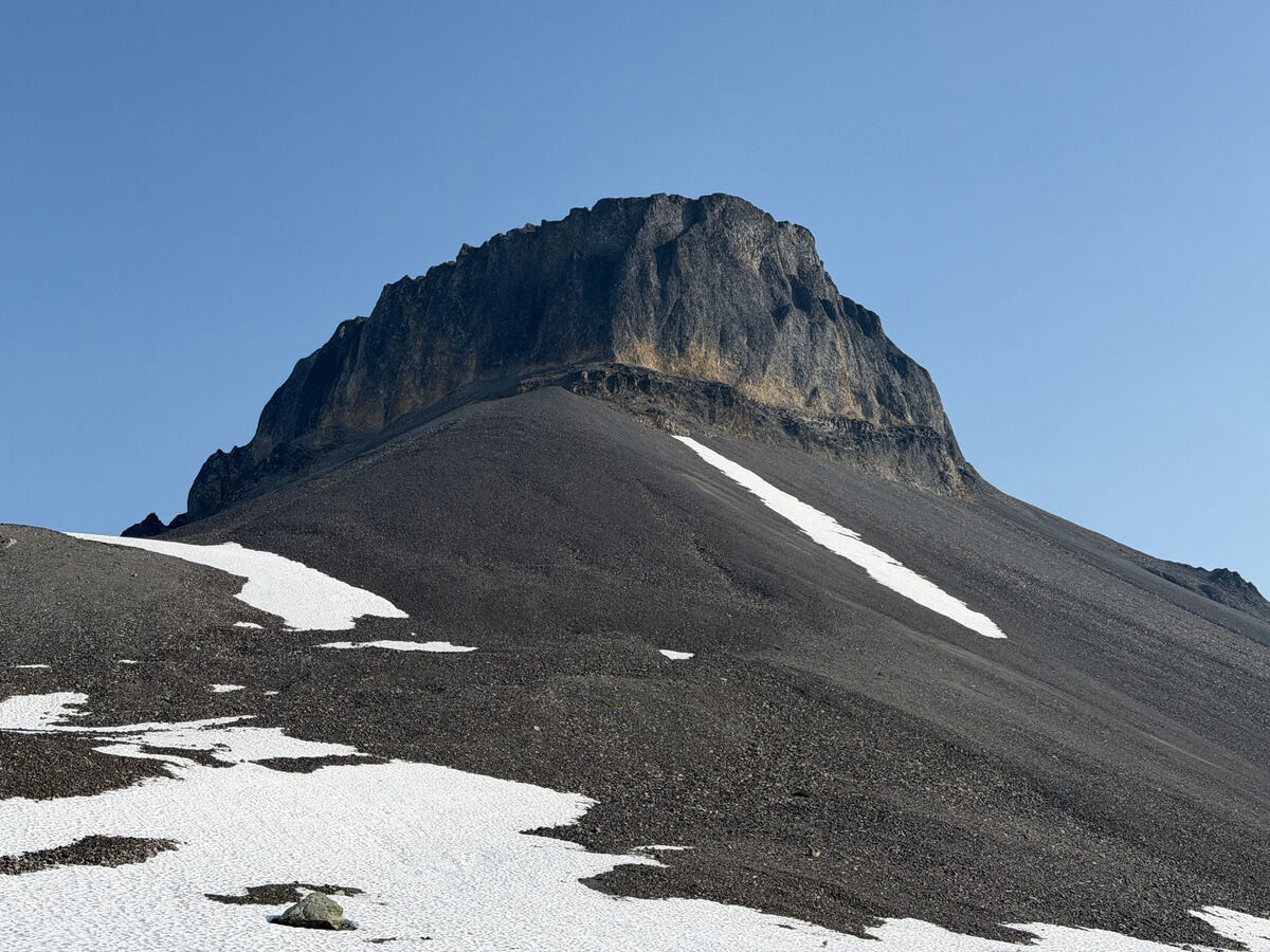 Rounding the corner on Little Ring - impossible to climb this choss tower from this side
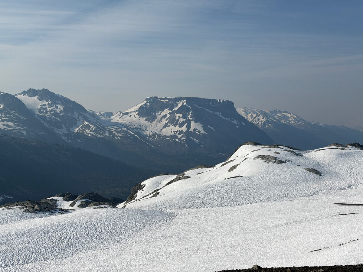 Big Ring Mountain
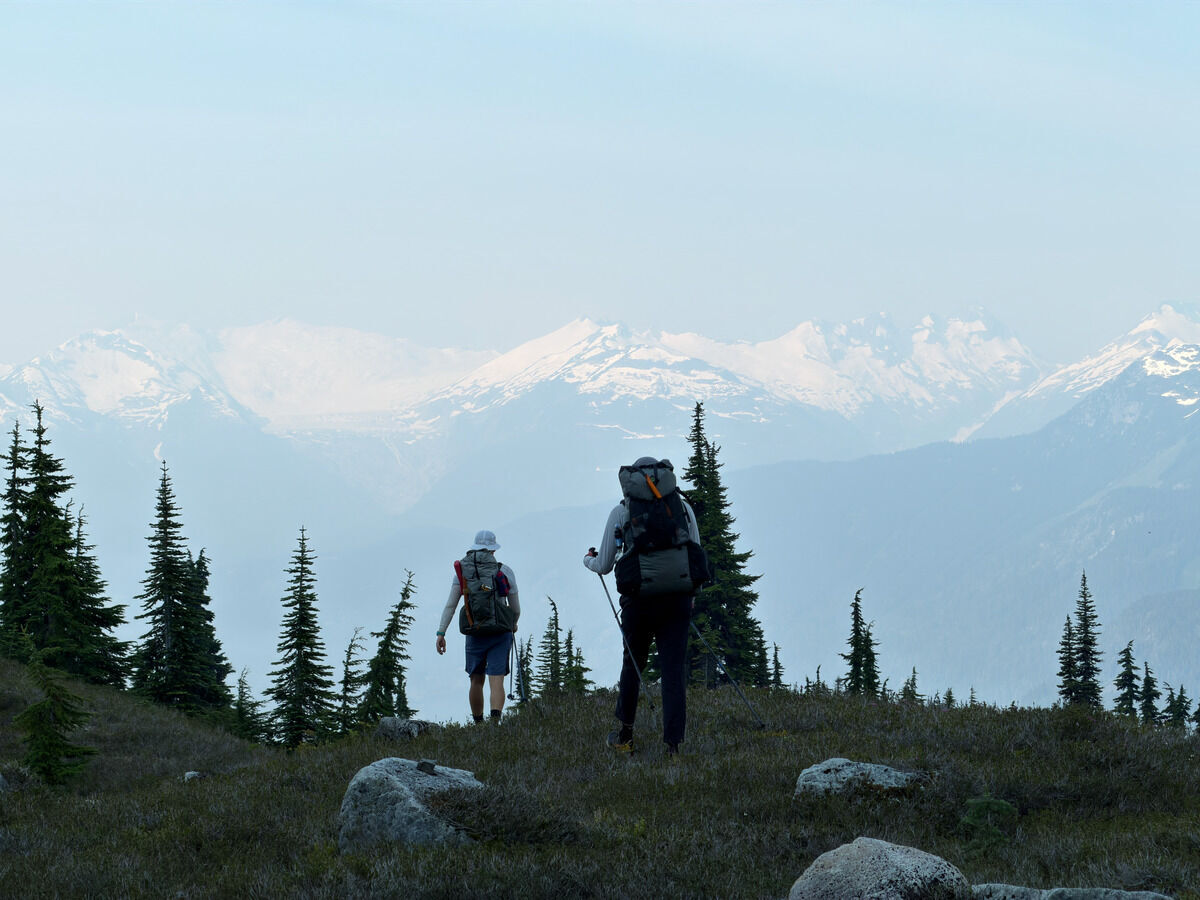 Unfortunately, the smoke rolled in today
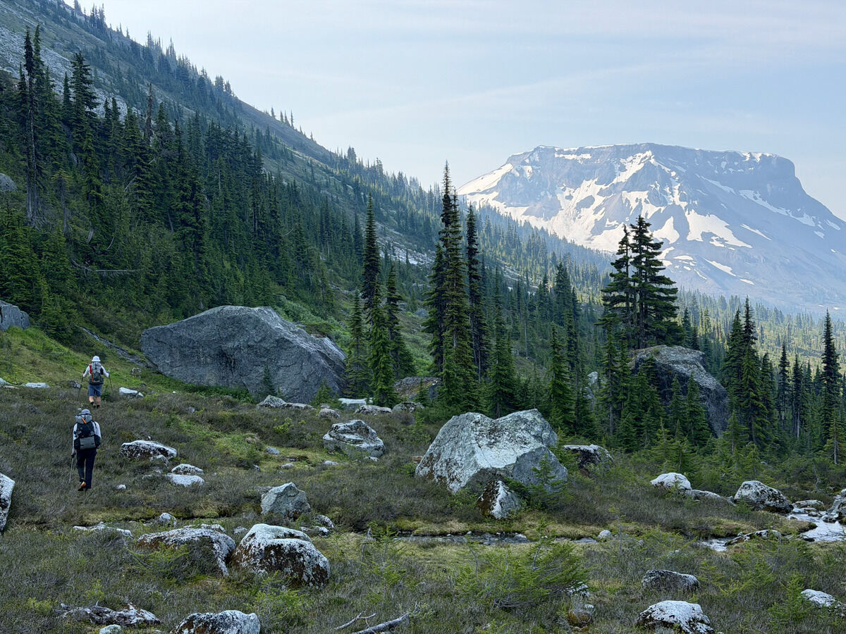 Easy miles towards Big Ring
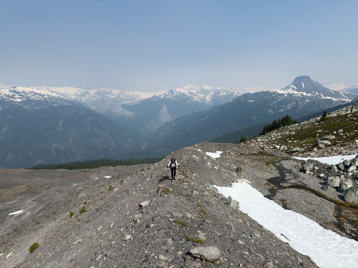 Straddling glacial moraines
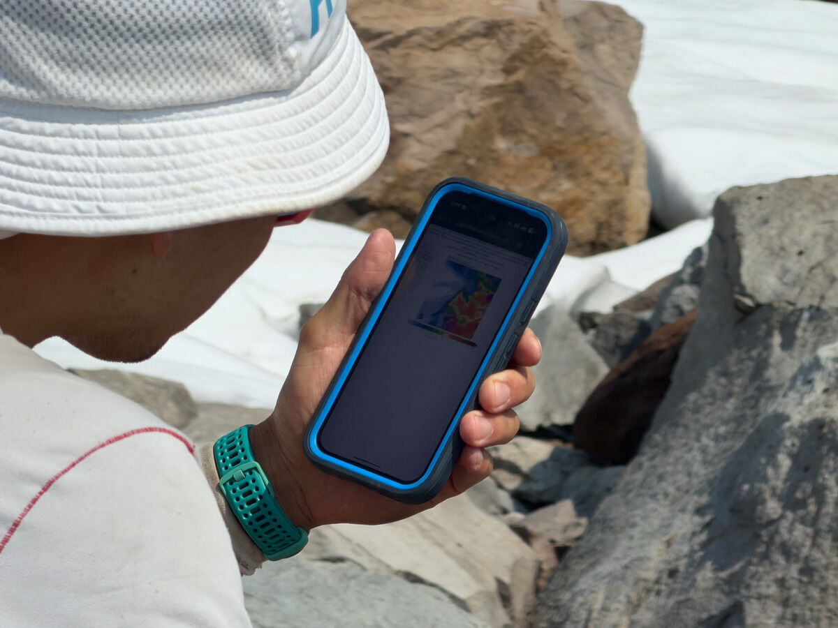 We somehow had enough service to check the smoke forecast lol
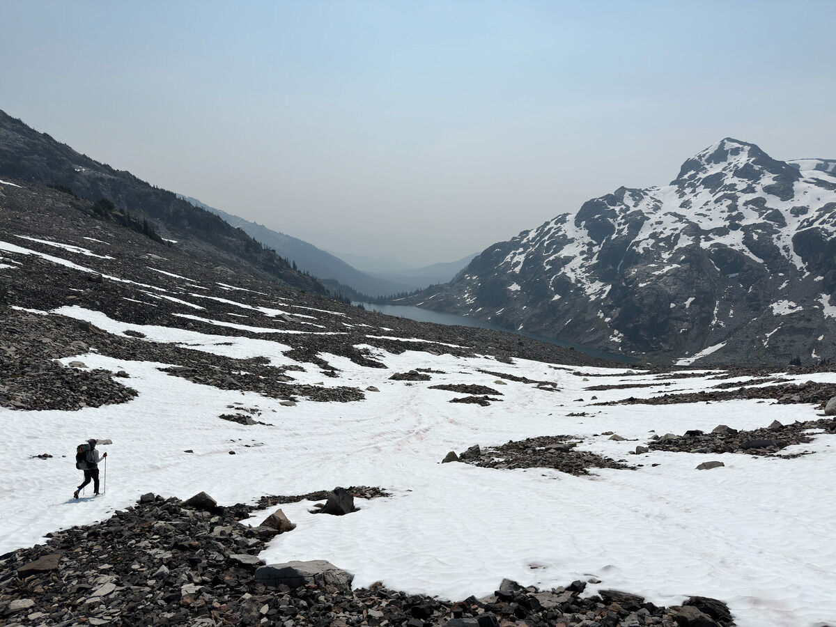 Onwards we go - this would be the exit if you did Callaghan
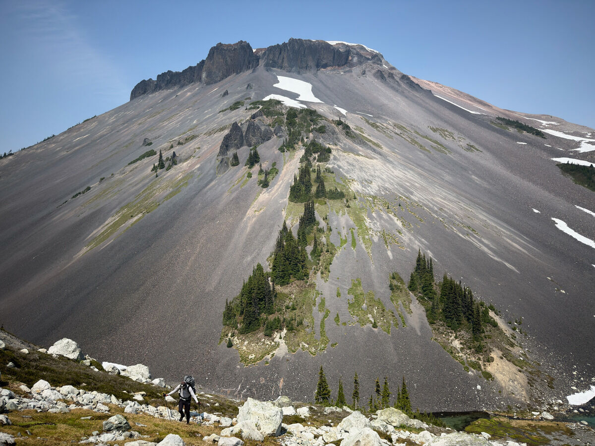 Climbing up opposite Big Ring
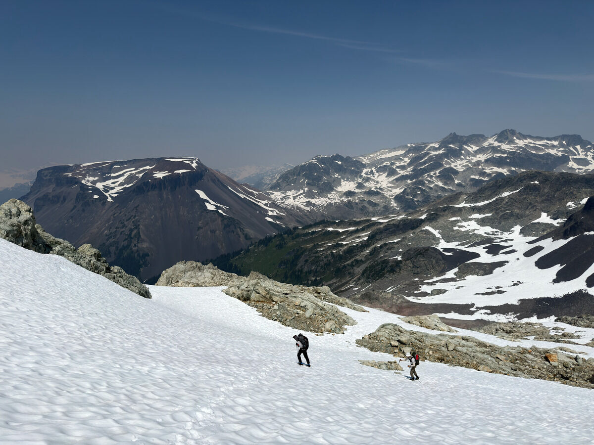 Getting on the Nutcracker’s ridgeline
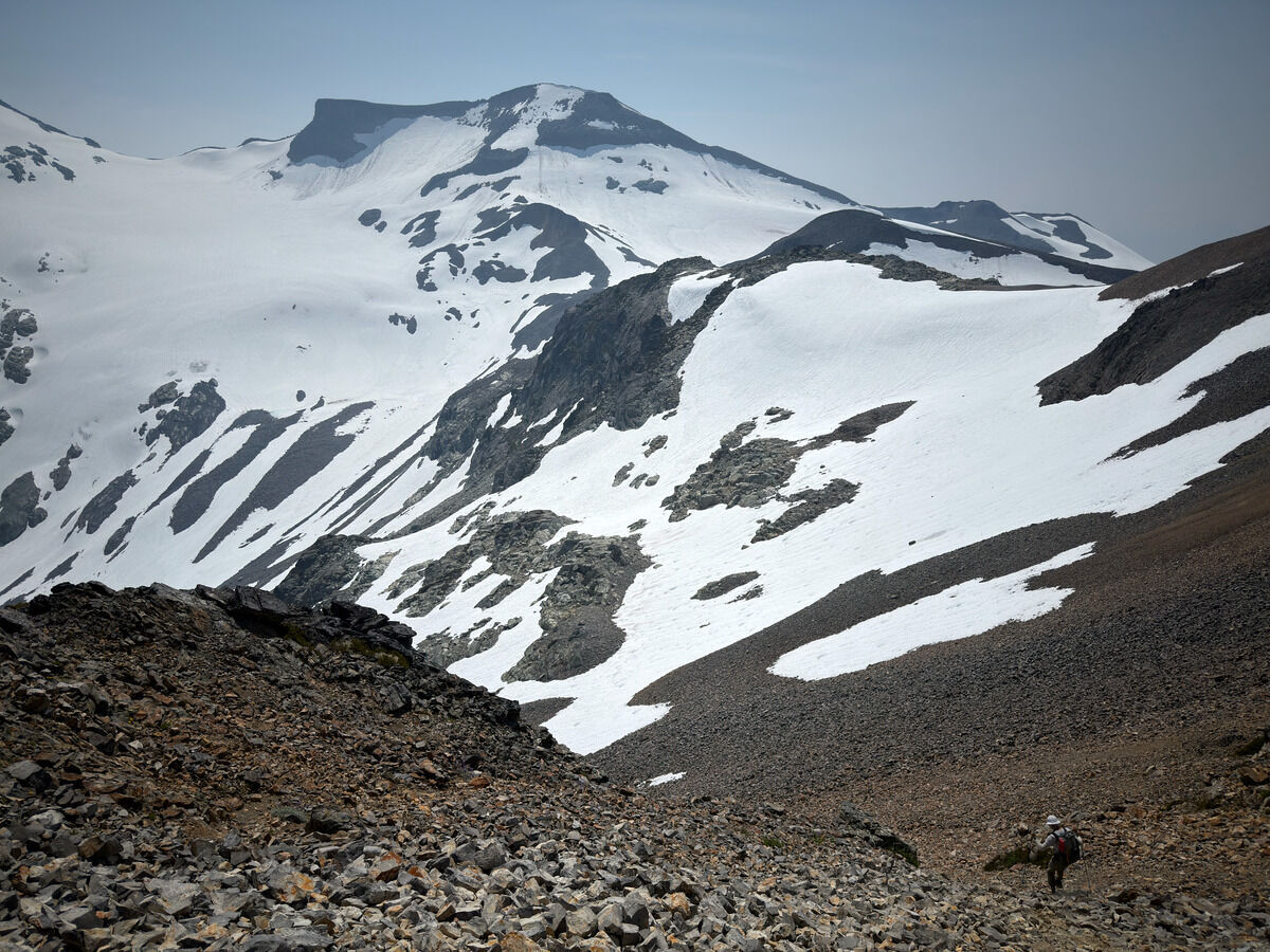 Descending choss to get to the Solitude Glacier in the far left
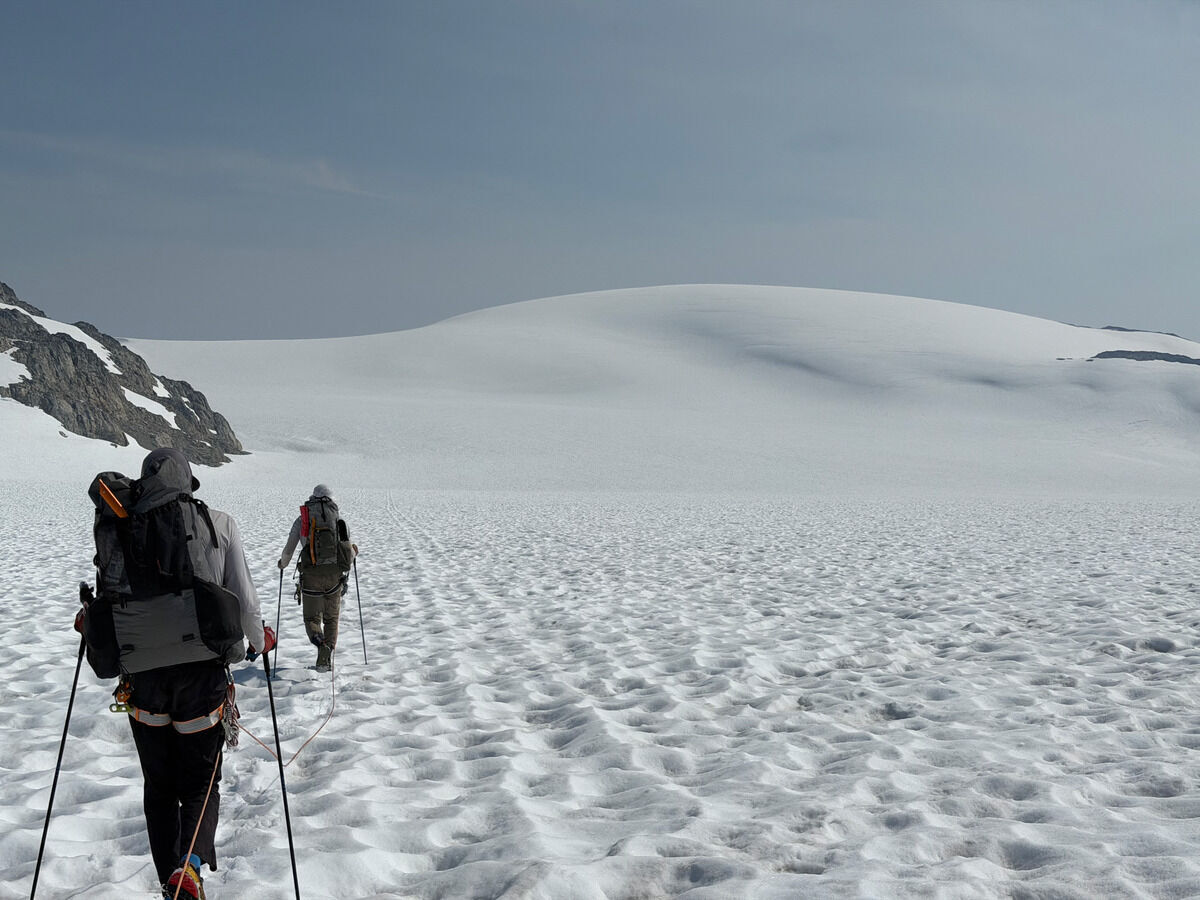 Into the thick of it once more
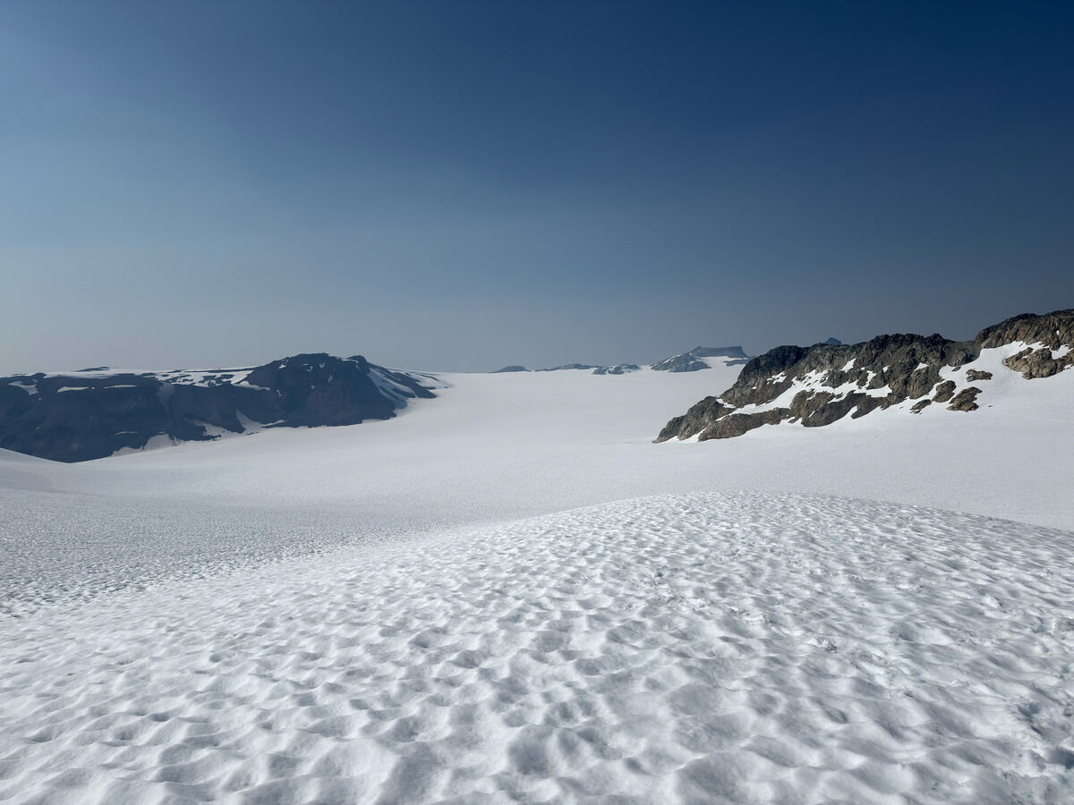 My ankles hurt...
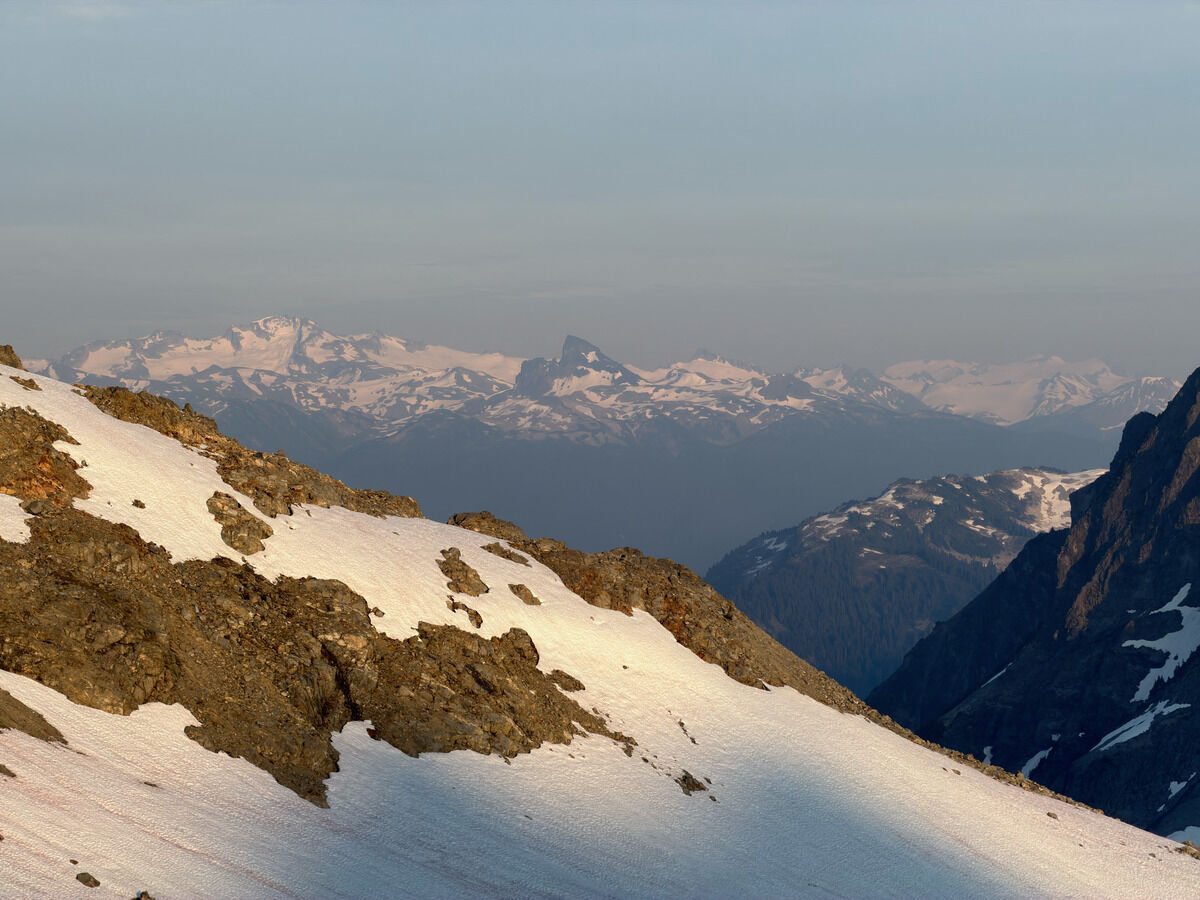
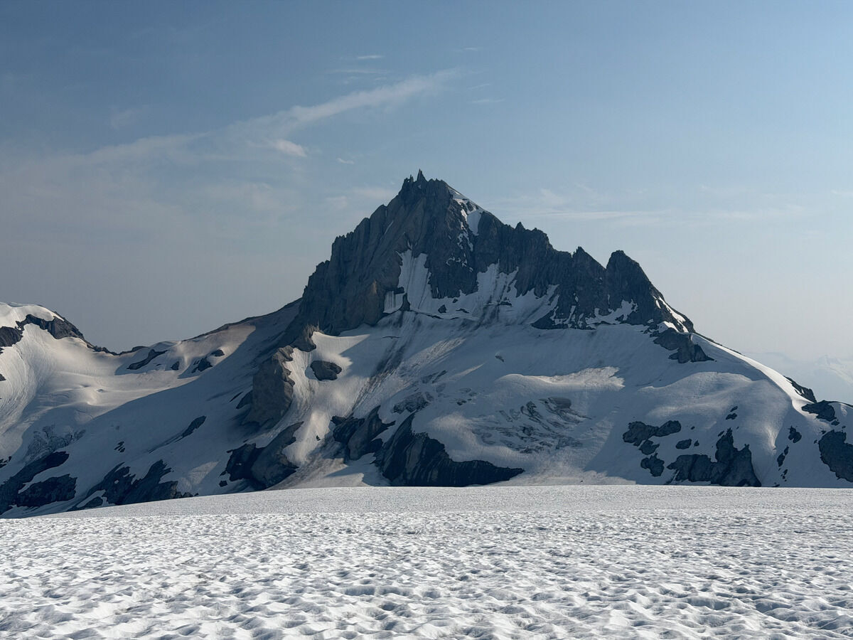 Mount Cayley
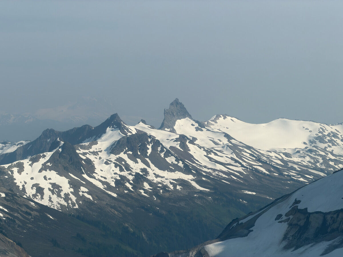 Mount Fee
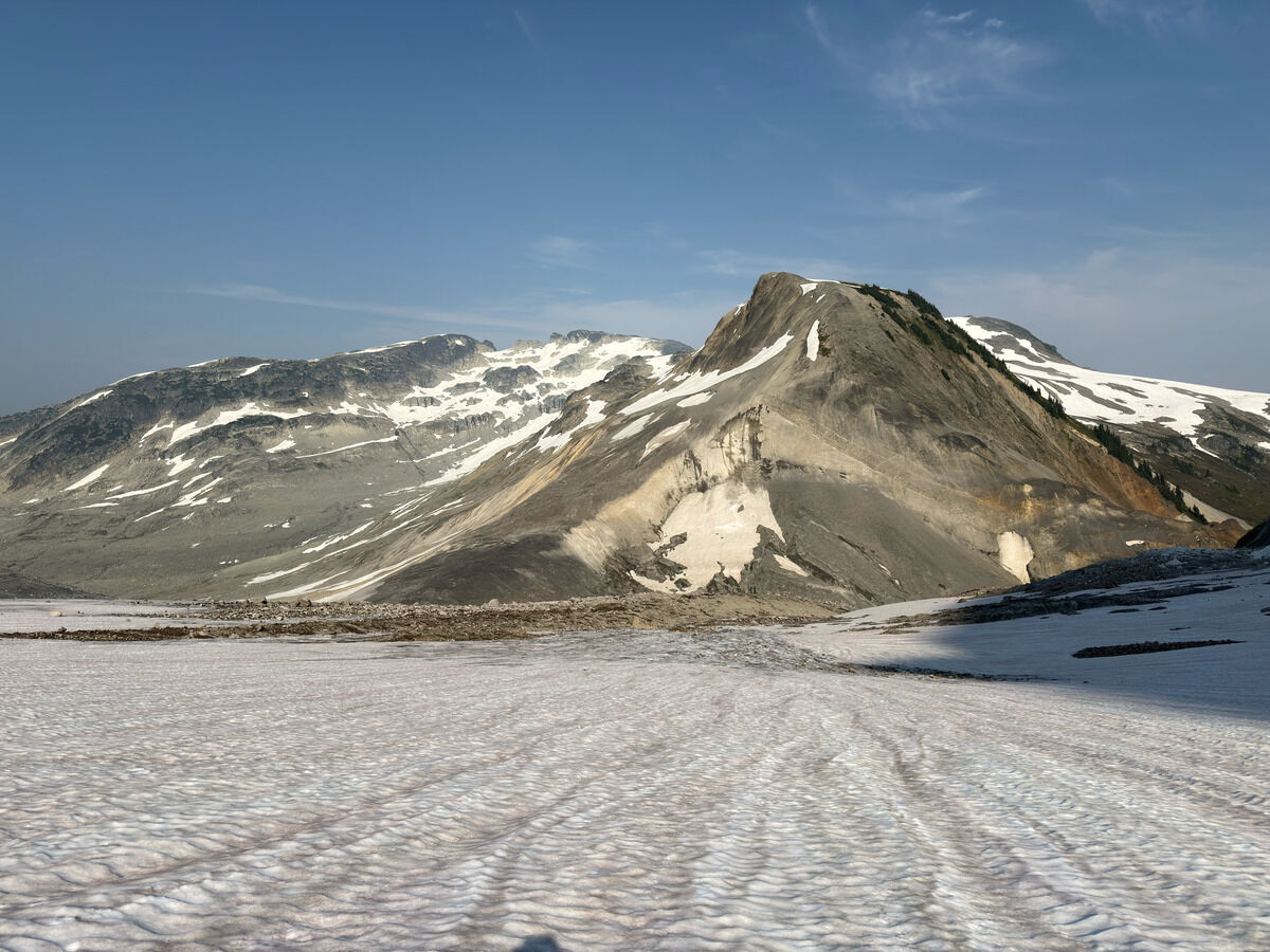 Getting off this icefield, we thought we’d get off the drainage curving right...
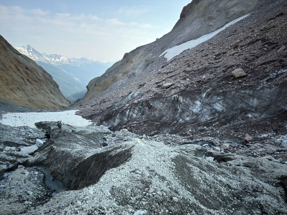 The glacier turning rotten
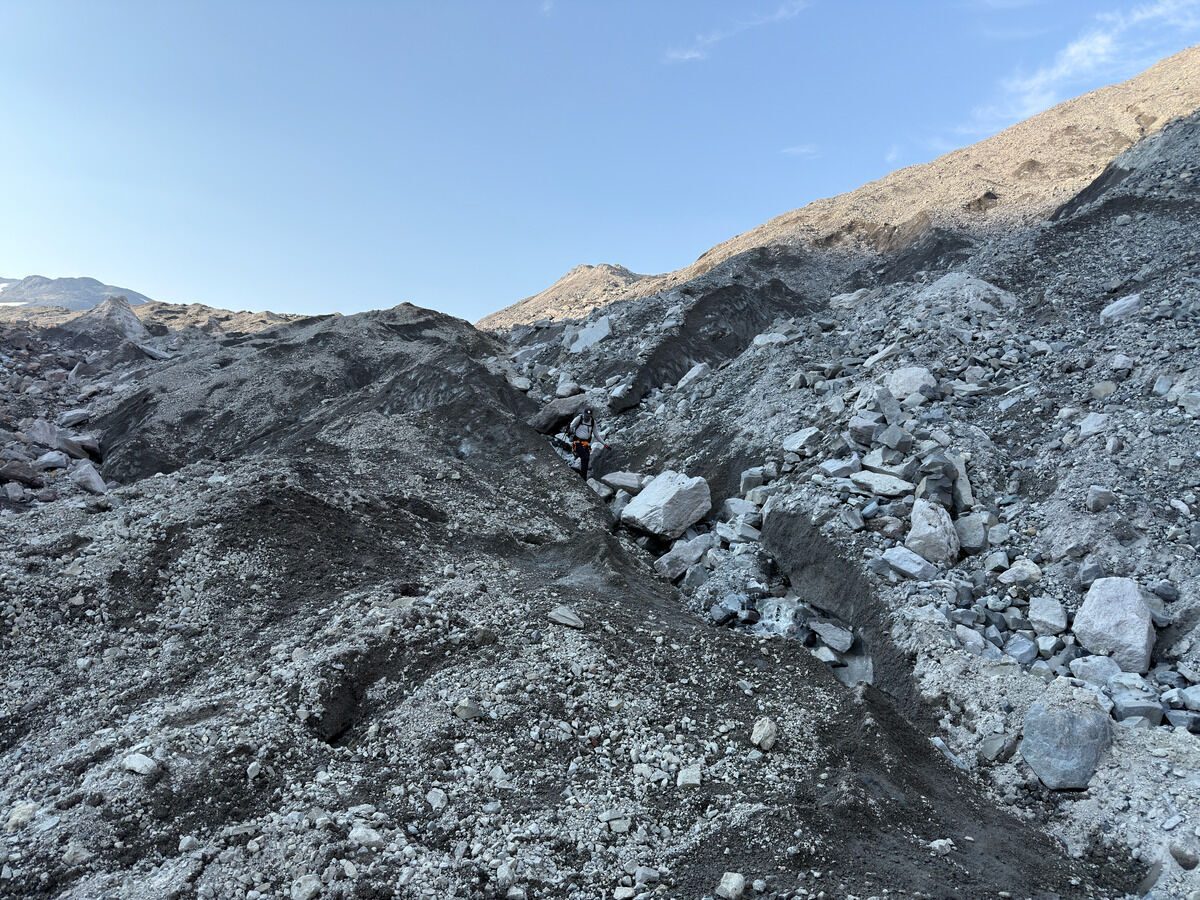 Getting hairy, so we decided to turn back
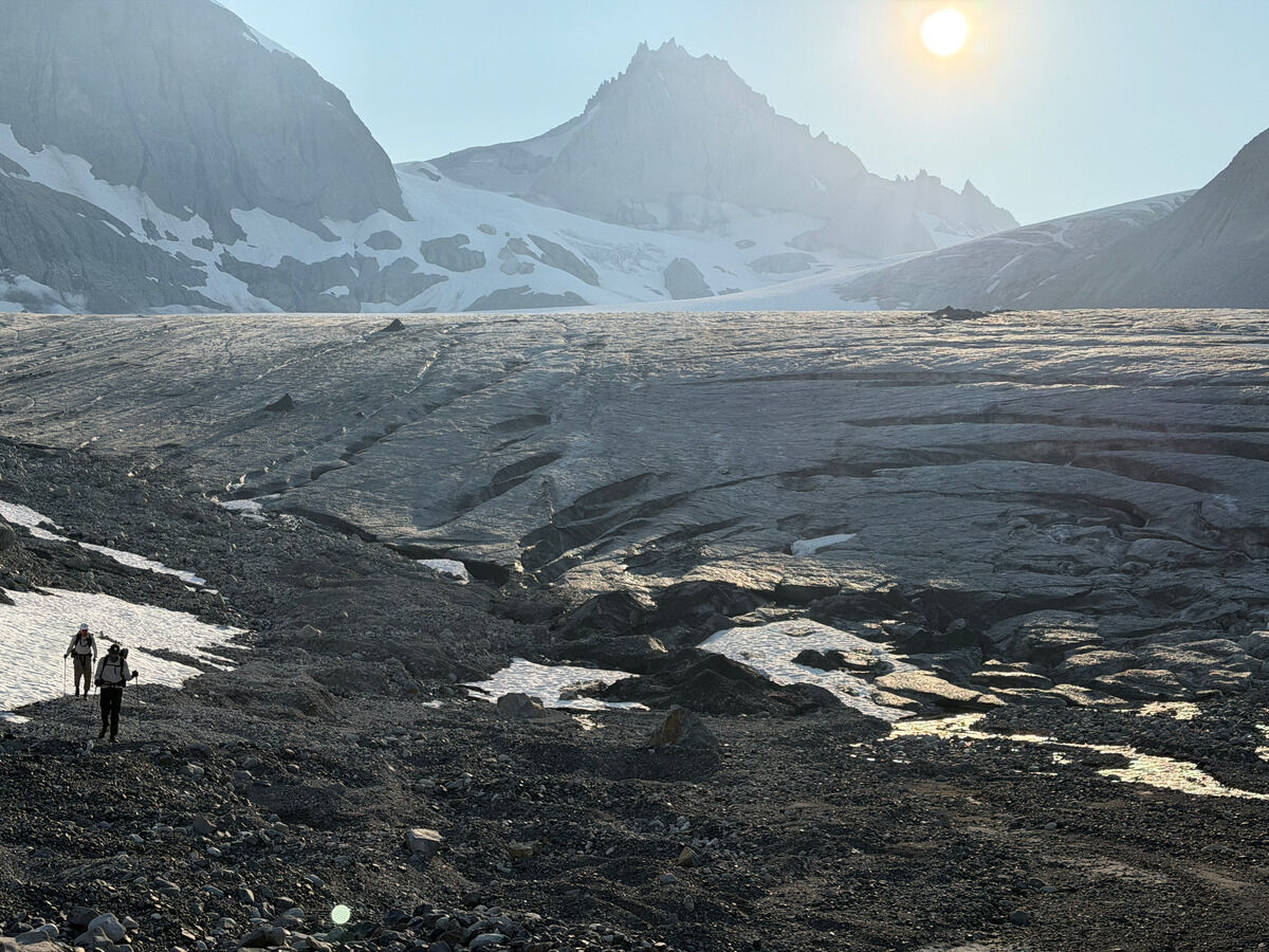 Decided to go the long way off another glacial terminus
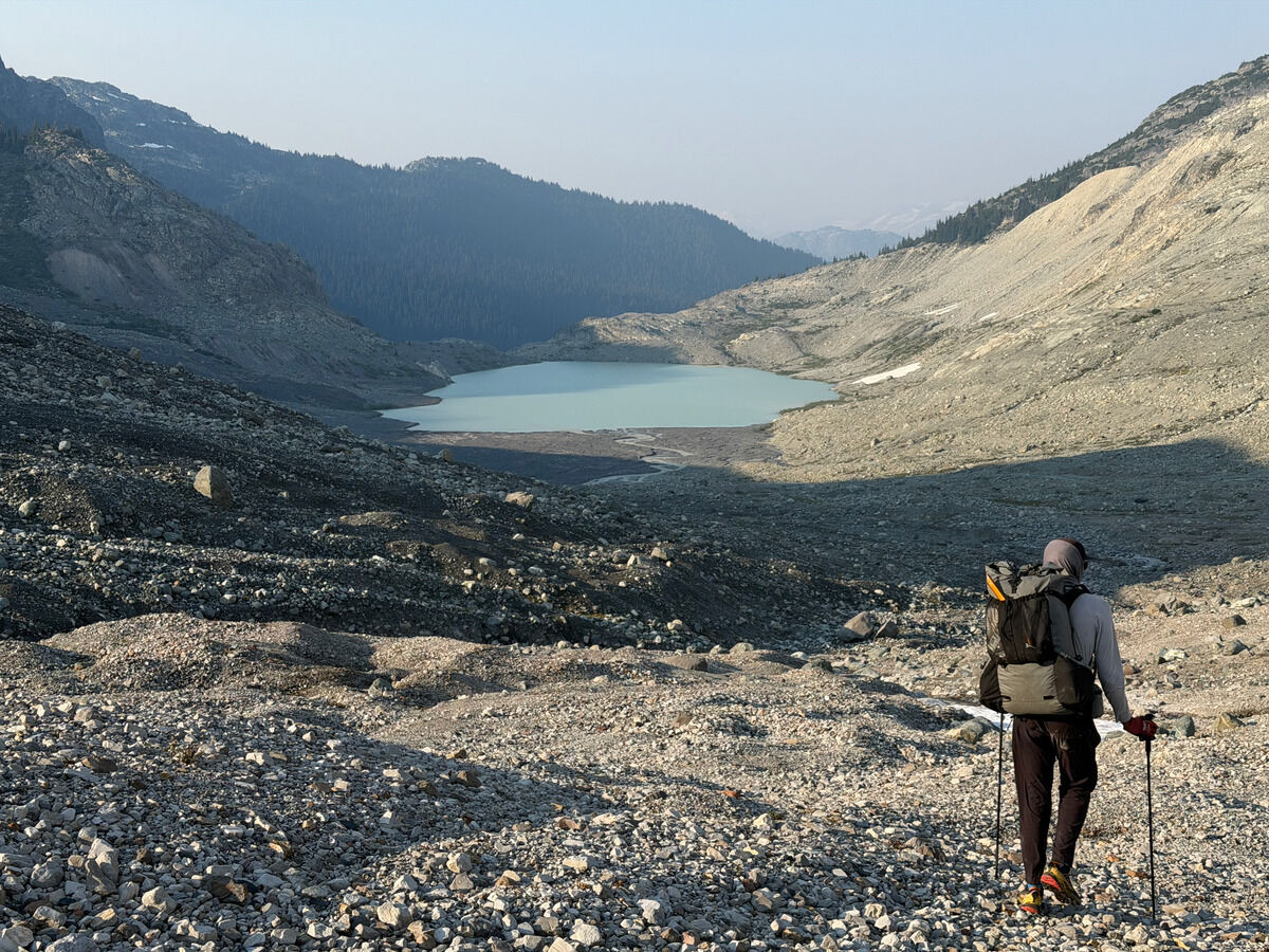
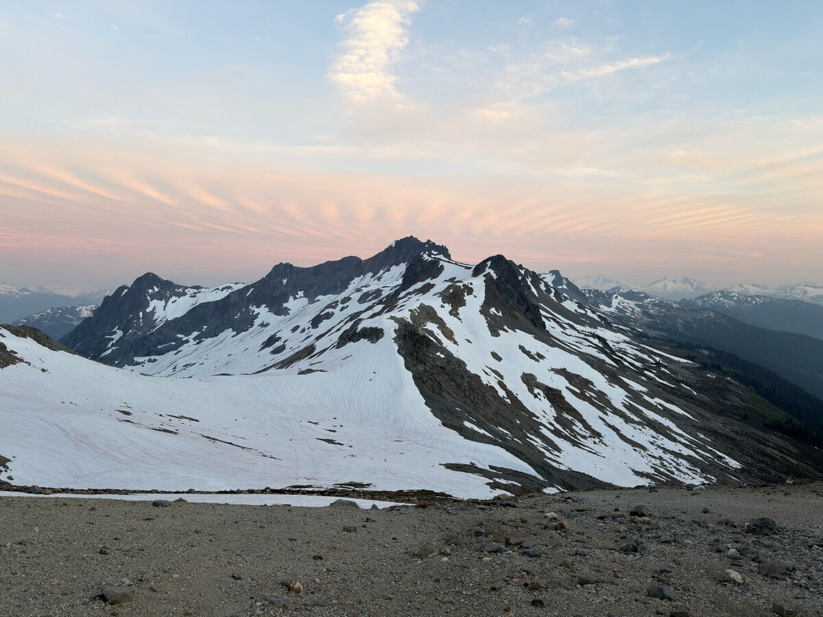
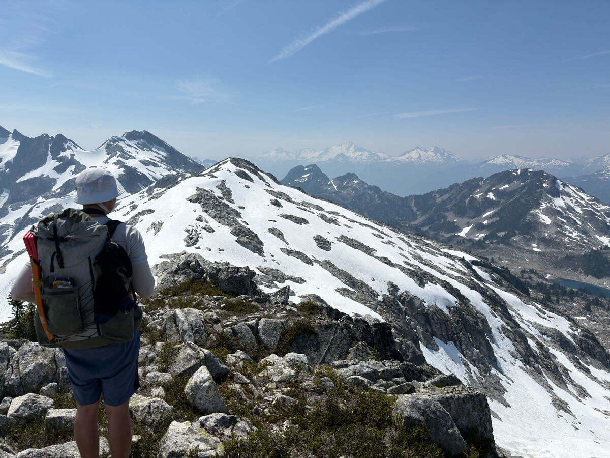
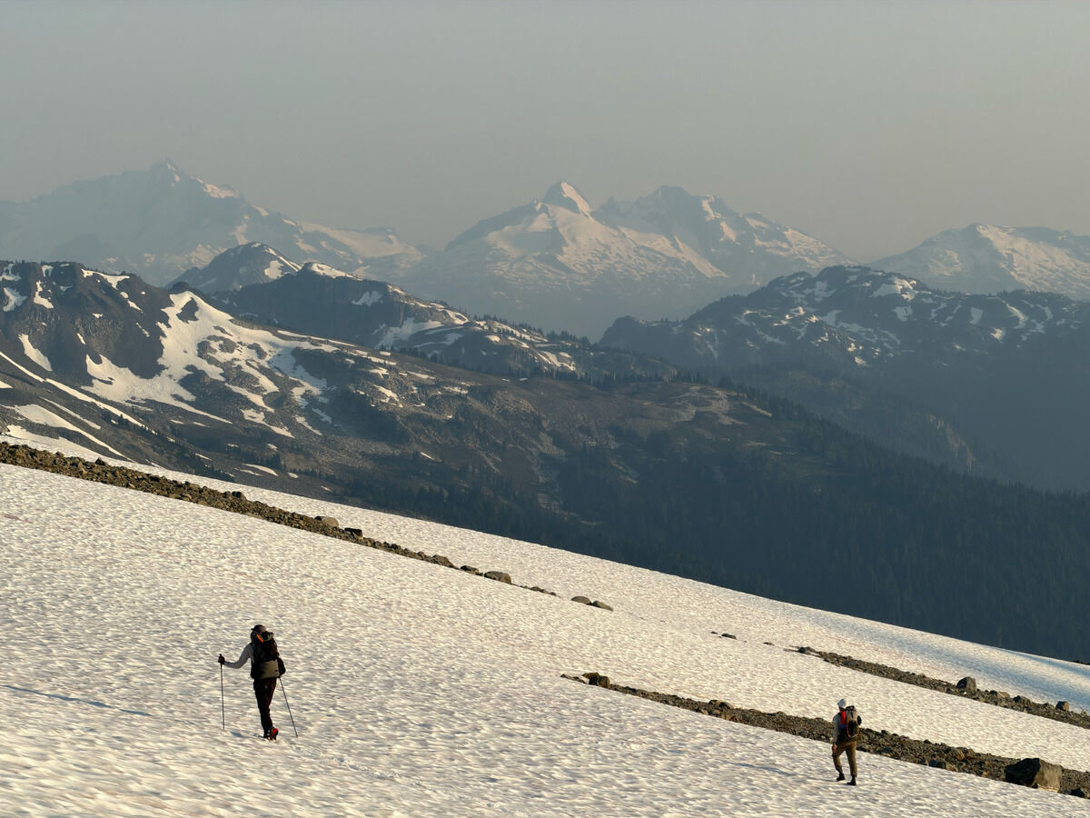 Having climbed the ridge and making our way near Brandywine Mountain
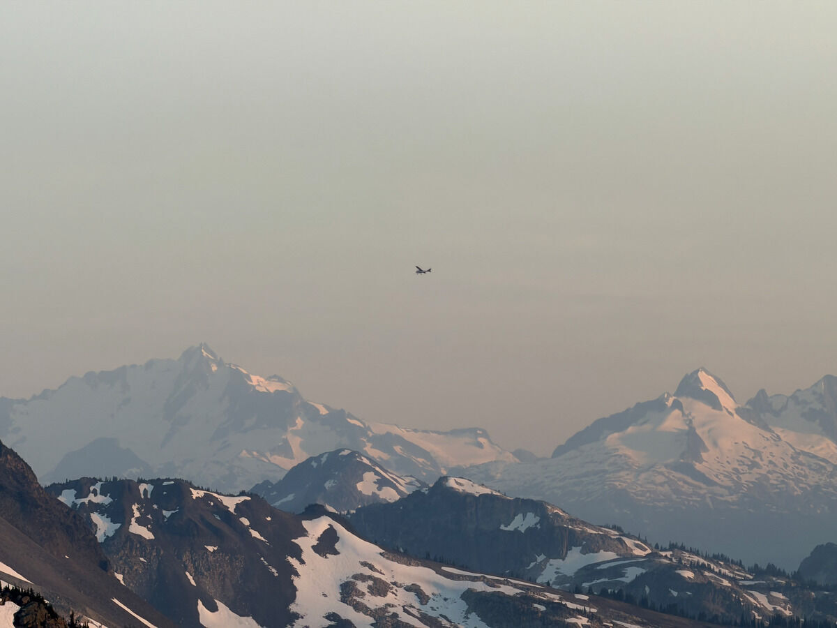
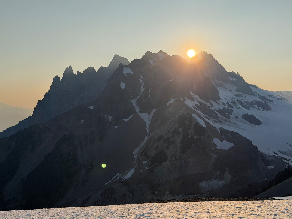 Sun still high but setting over Cayley
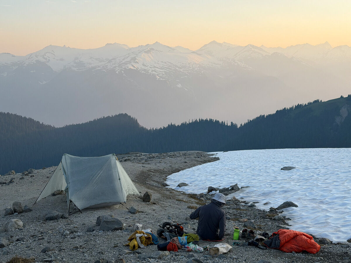
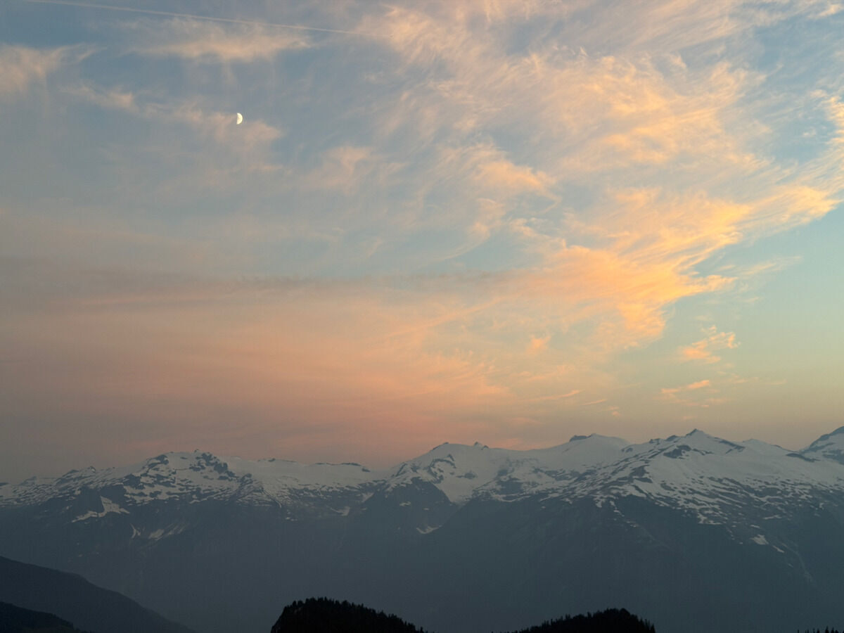
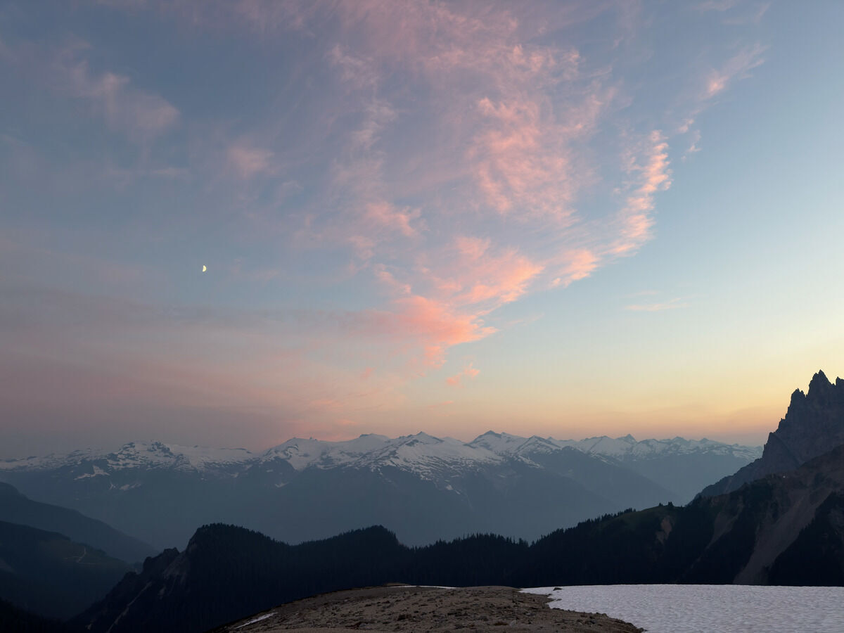
Day 4: Brandywine Mountain → Chance Creek
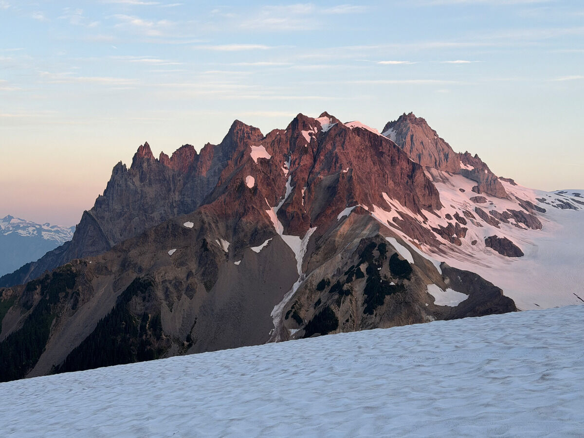 Morning light on Cayley
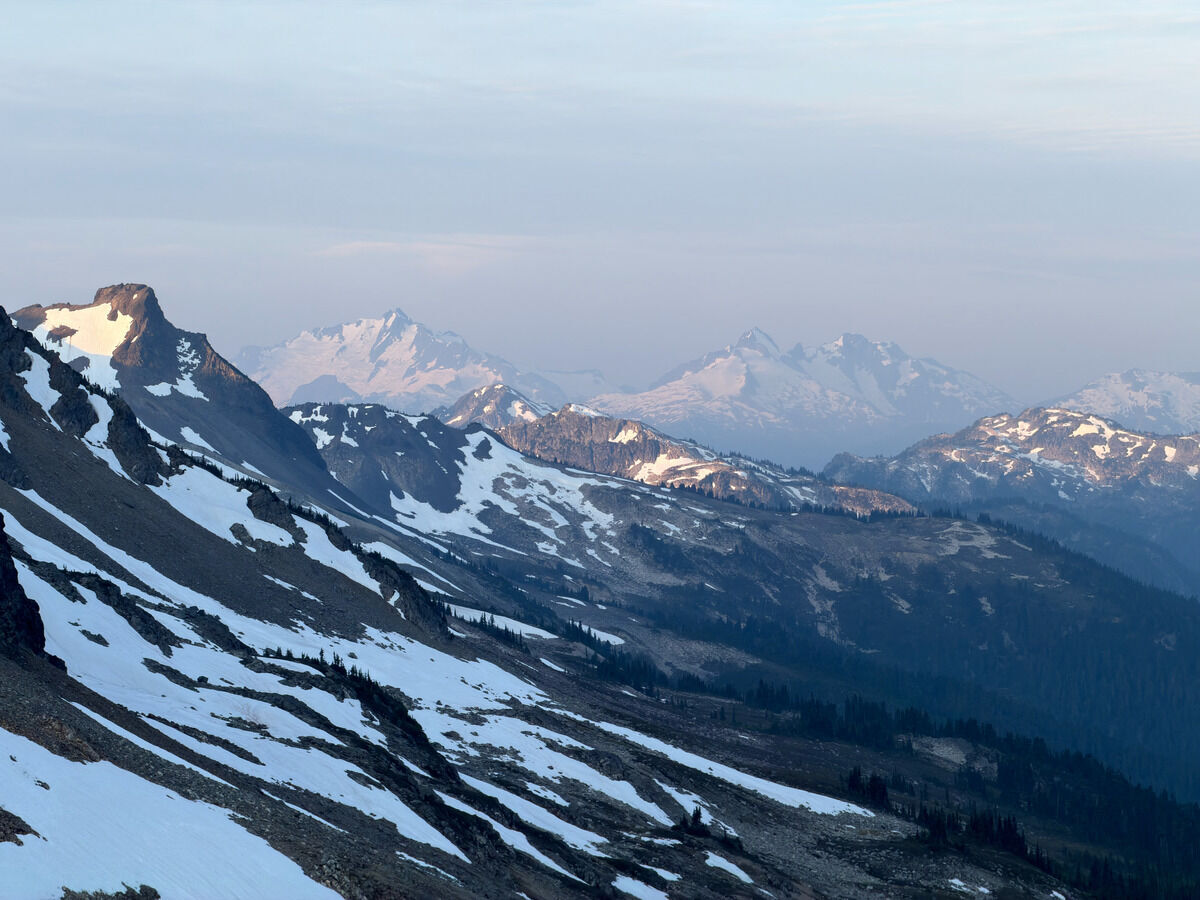 Tantalus Range
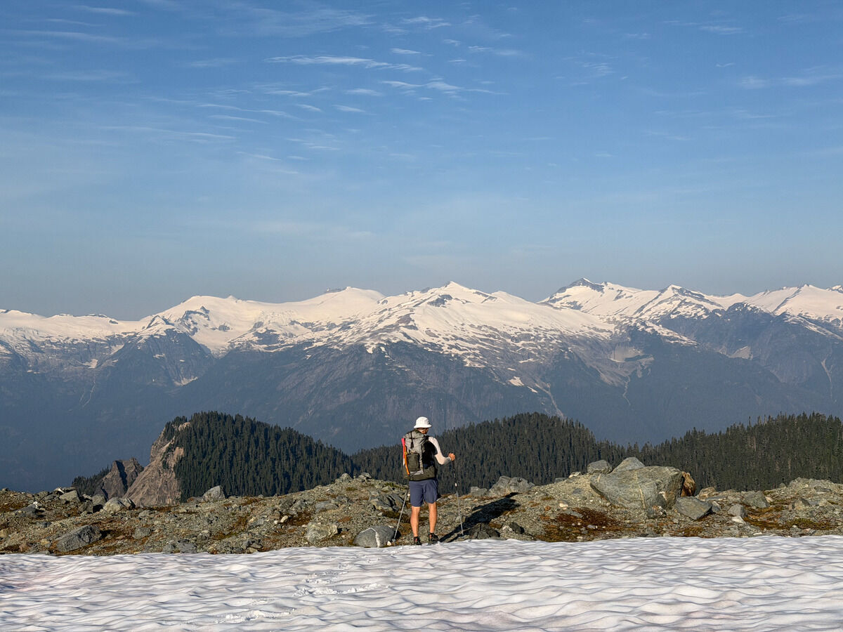
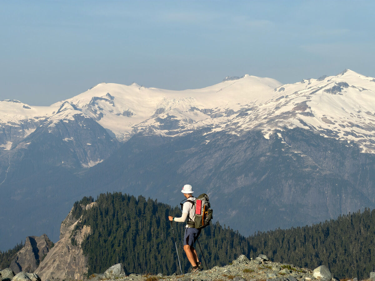
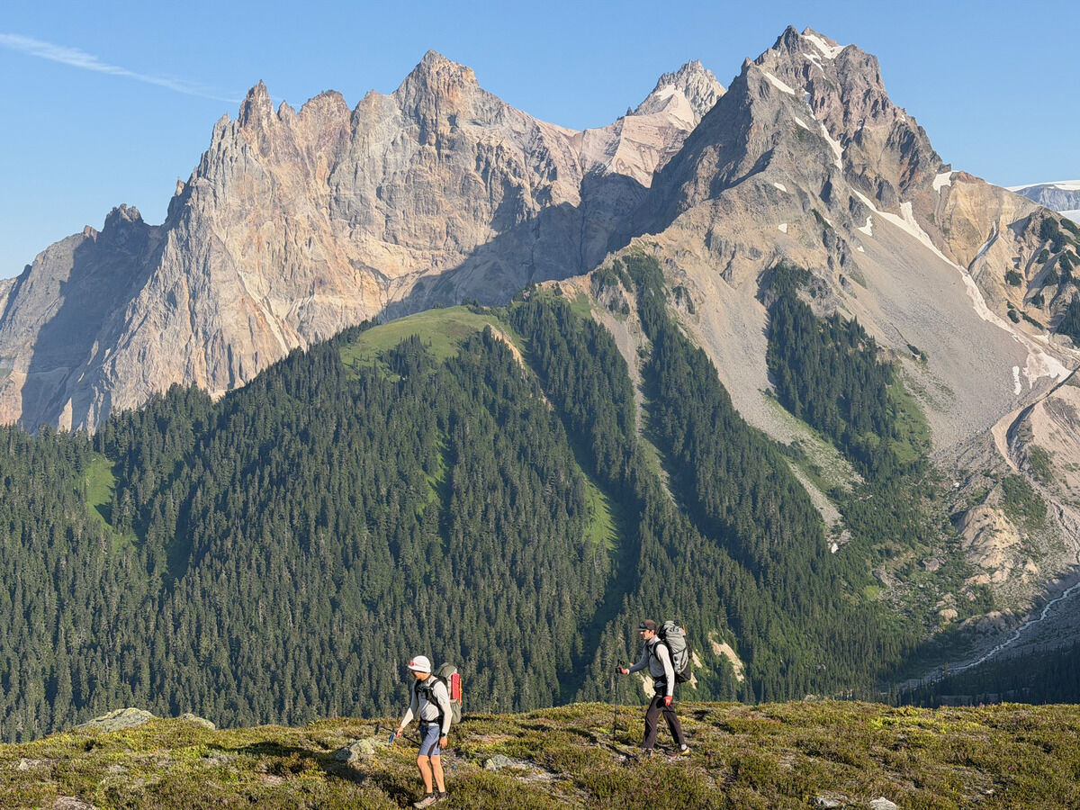
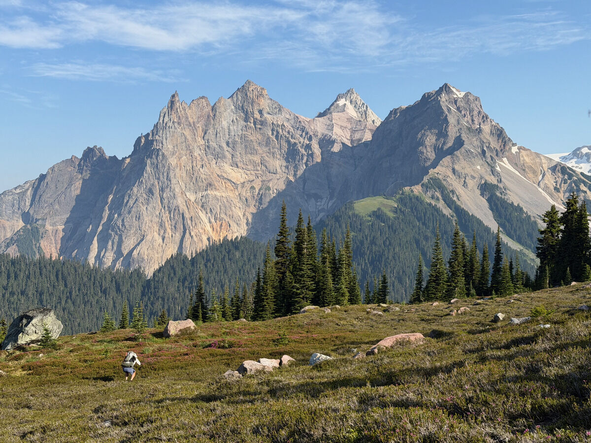
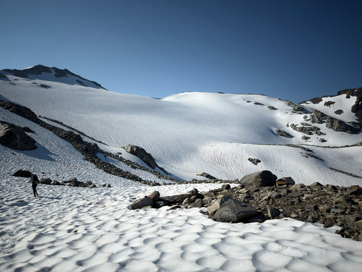
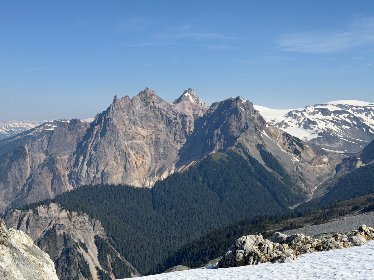
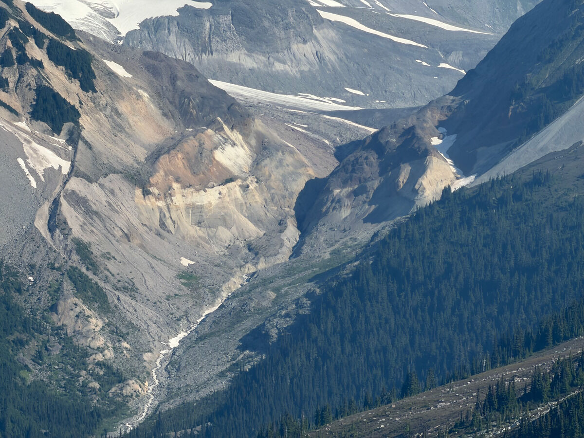
Peep the drainage we thought we were going to thread lol. It’s always hard to tell on these low-resolution Canada maps
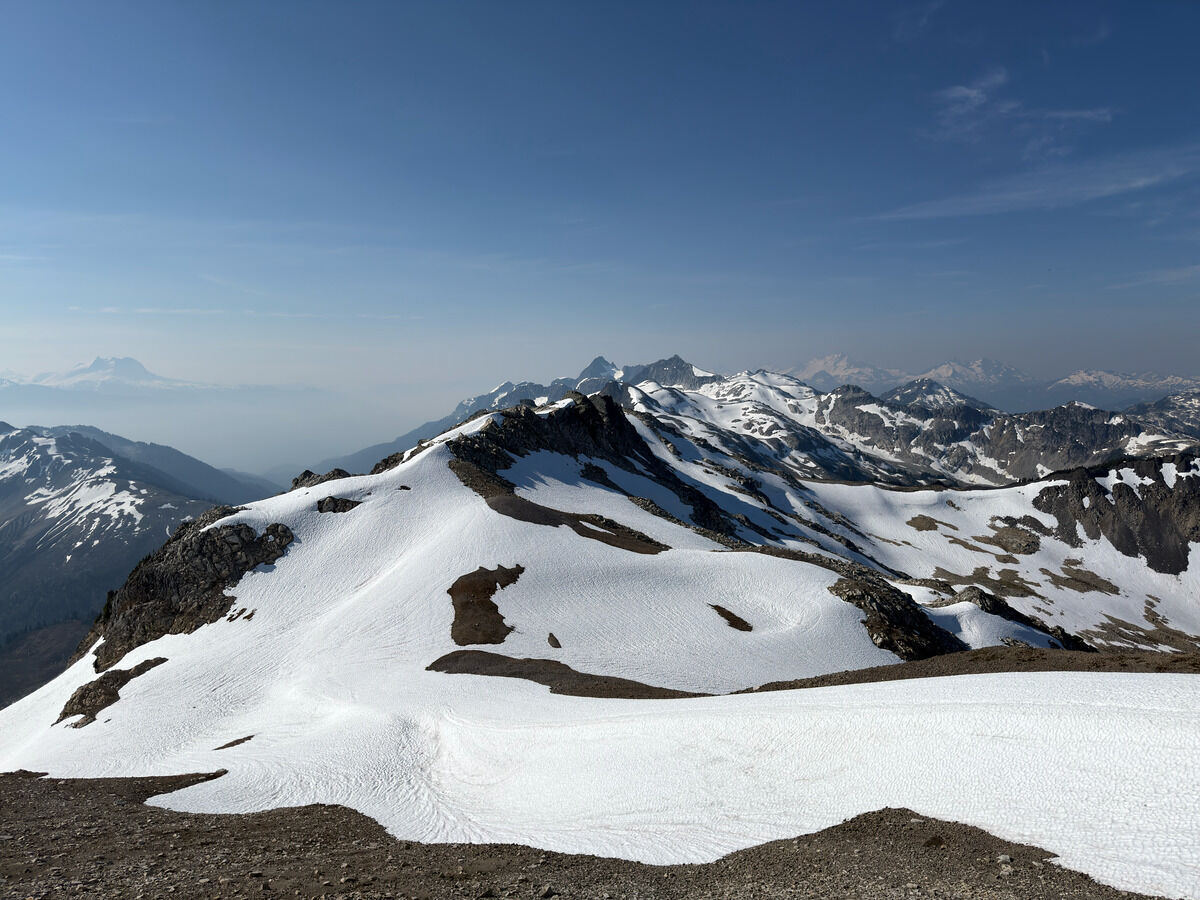 Following the ridge all the way to Tricouni Peak now
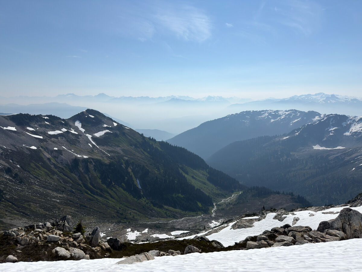 Haze got a lot better today, but filling up the valleys still
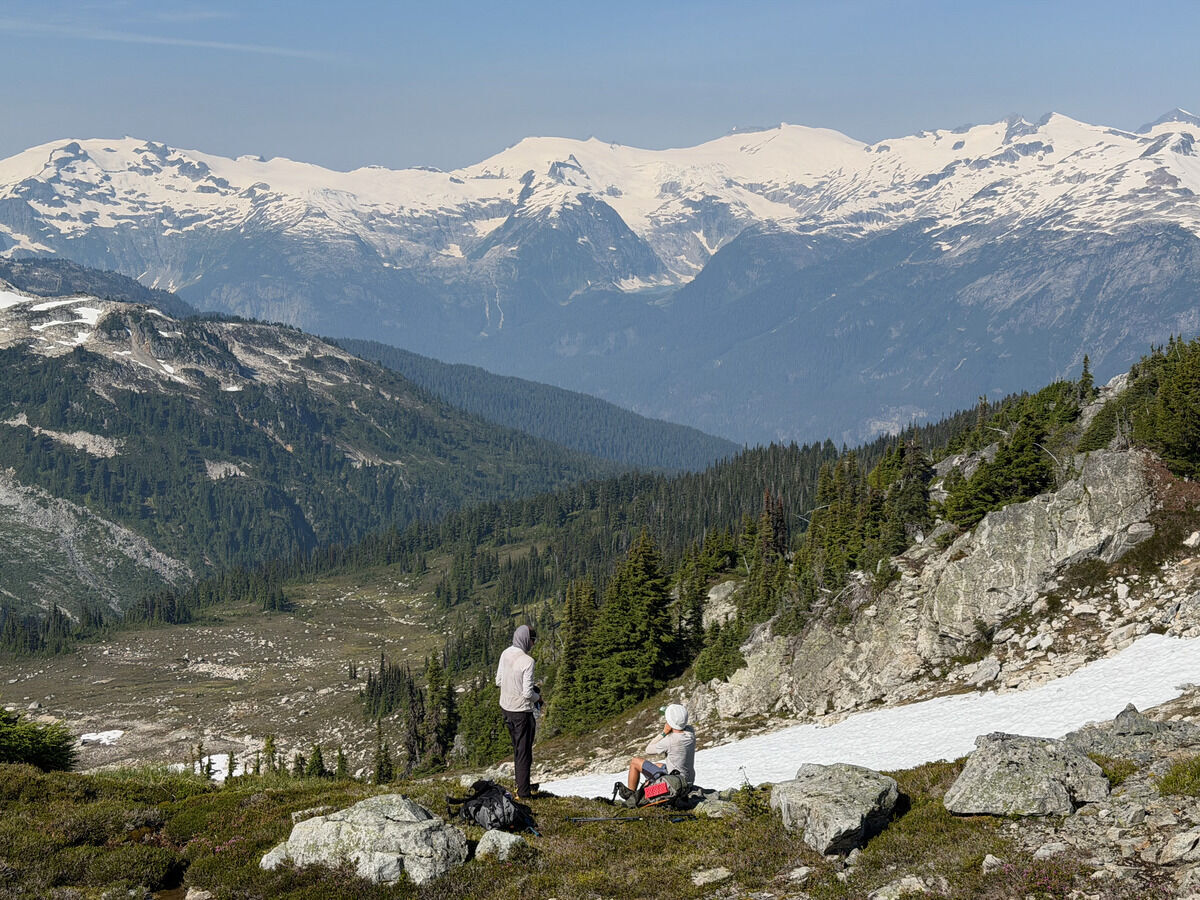
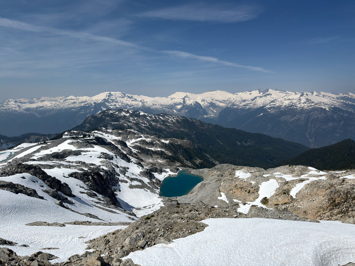
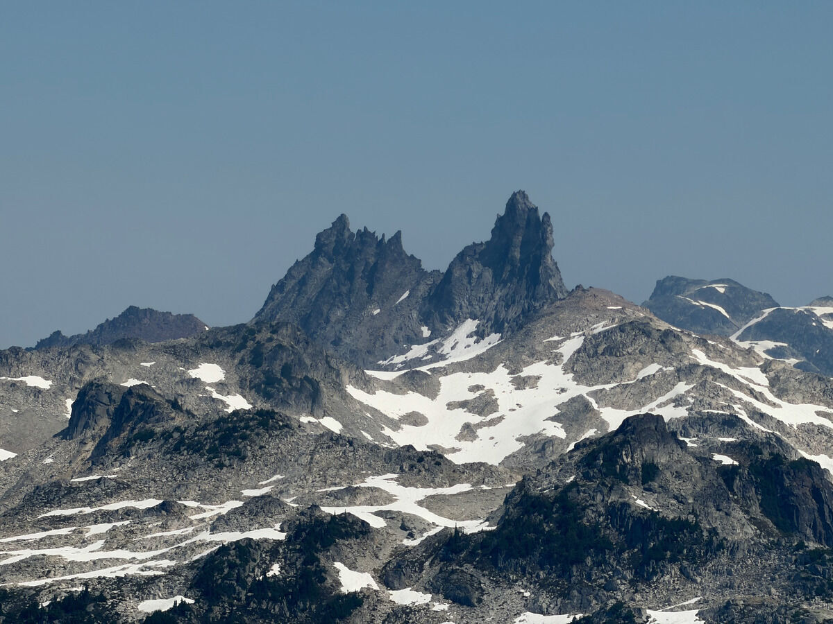 Mount Fee
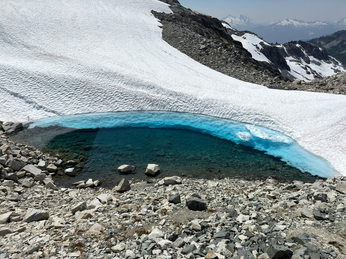 Quick final dip in this FRIGID mini lake
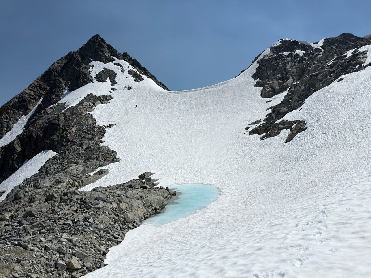 Ballsy to do this without crampons (I put them on), the last col up to Cleat Peak
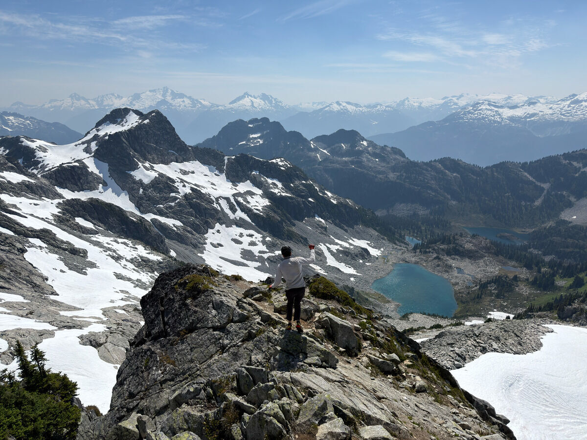 Climbed Tricouni and now back down looking at the many lakes to the southwest
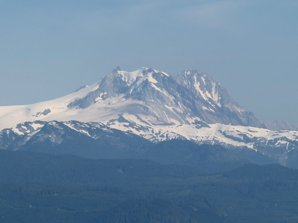
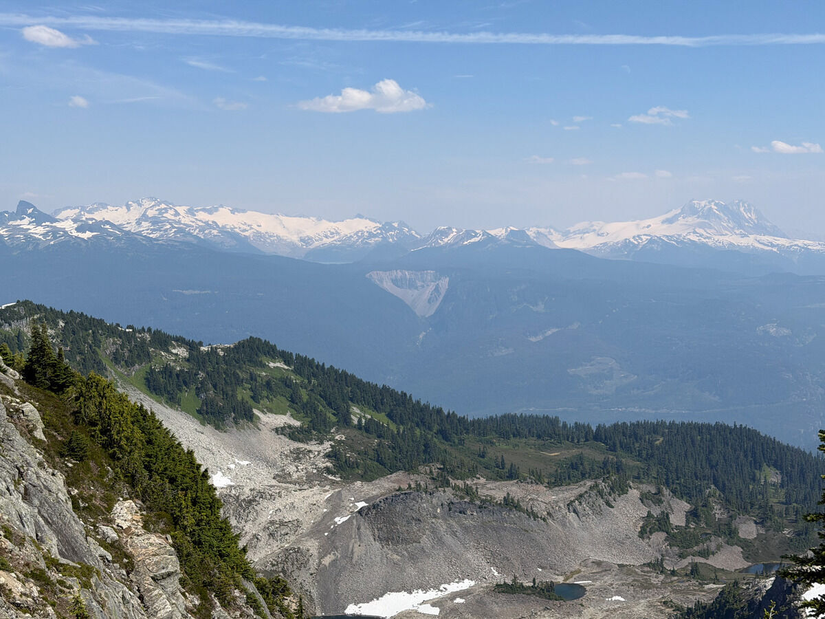 Garibaldi area, with The Barrier center and Garibaldi to the right
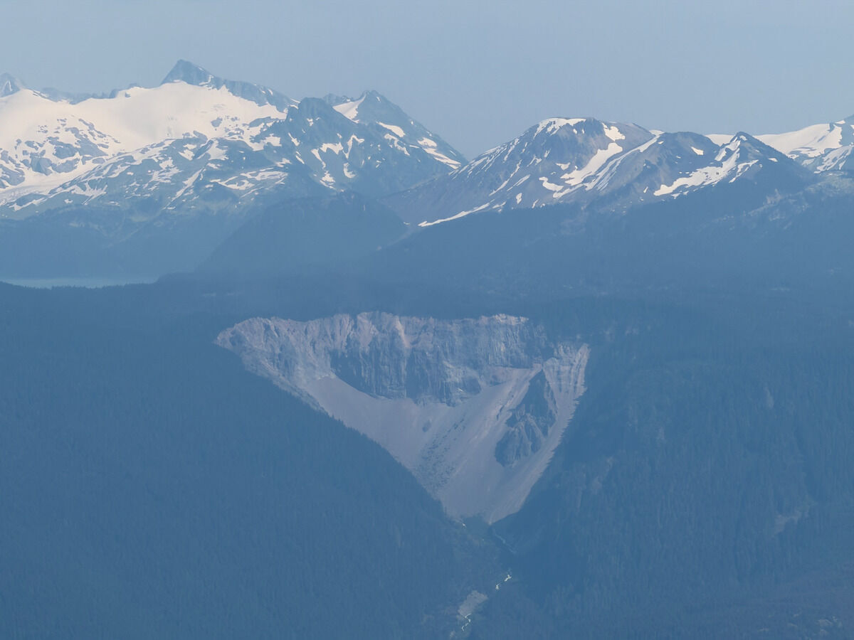 You can kind of see the Garibaldi Lake too
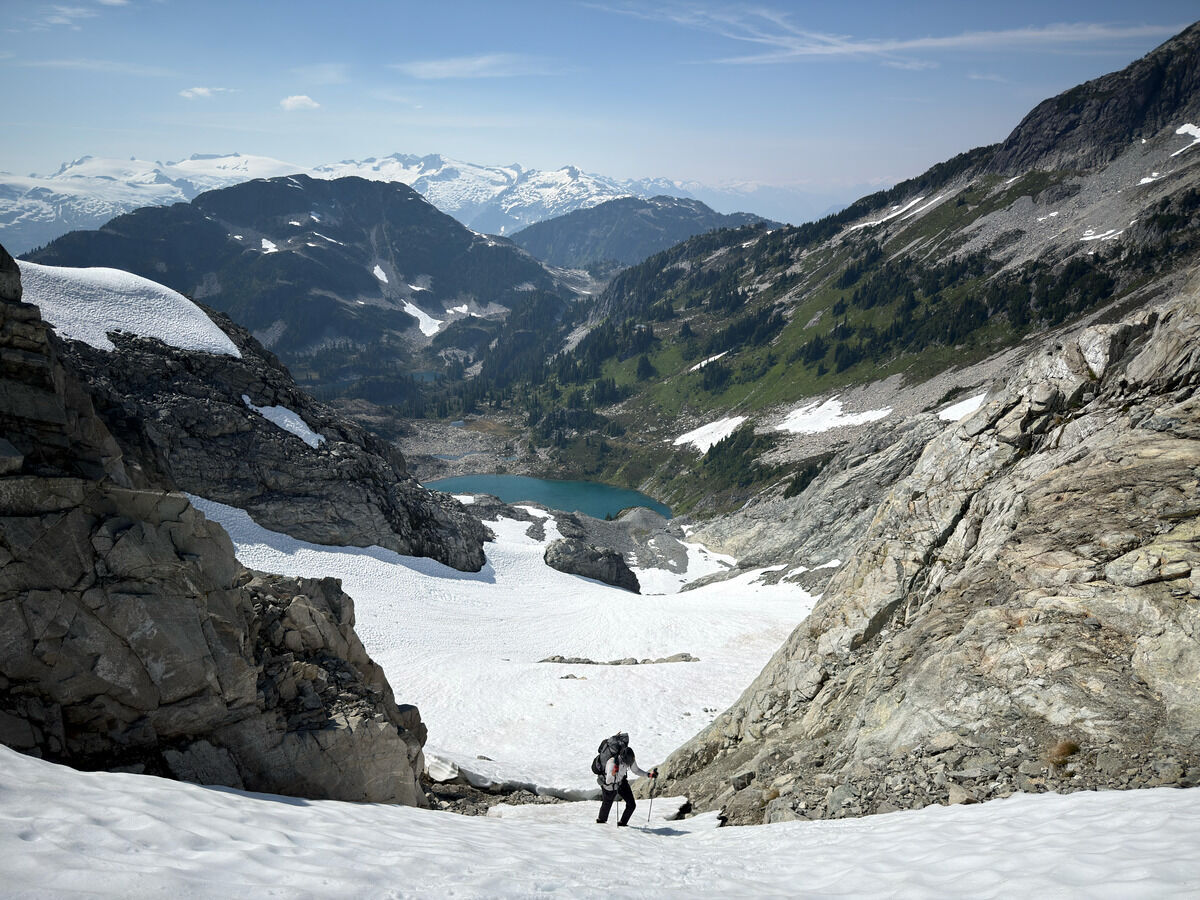 The final climb before descending to Berg Lake
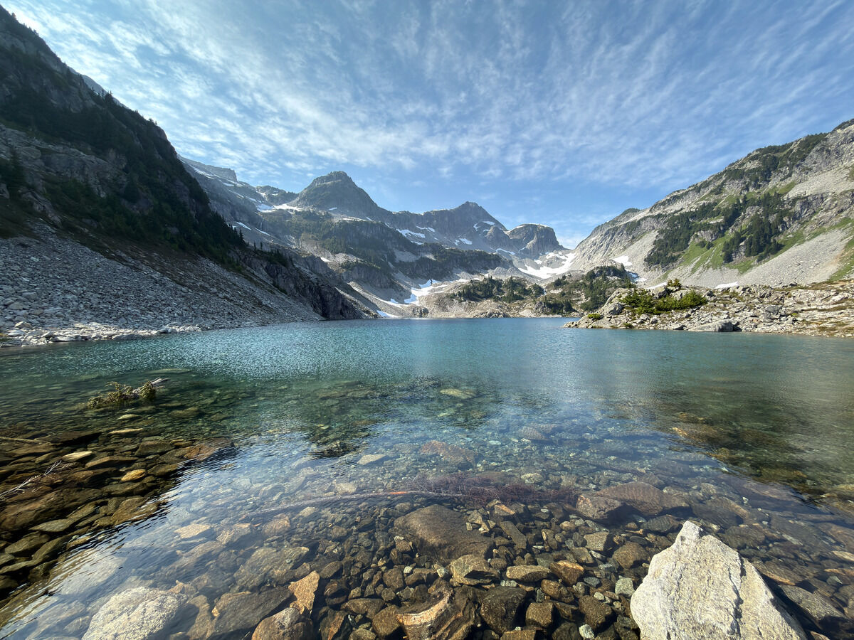
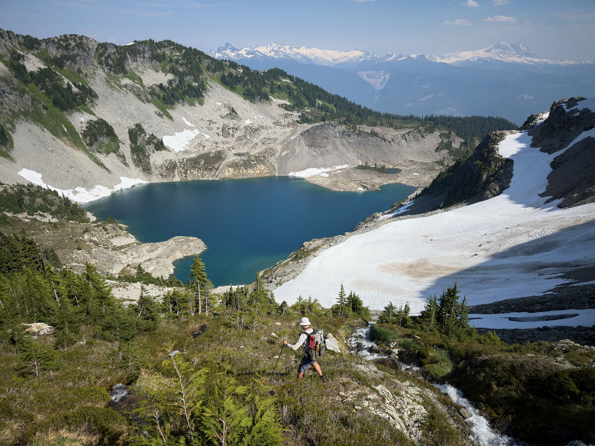 Berg Lake
Notes
- This was probably ~57 miles and ~21000 feet of vertical gain over four days.