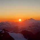
Bailey Range Traverse
I’ve pushed off climbing Mount Olympus every year I’ve been here due to the long arduous approach, so why not do it the long way!? My third time in the Olympics, my first time the park proper, and soaking in the highlights.
Day 1: Cascade Pass Trailhead → Stephen Lake
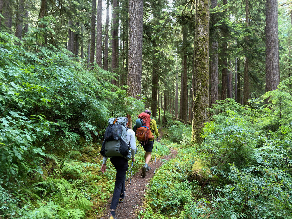 Off we go with heavy packs
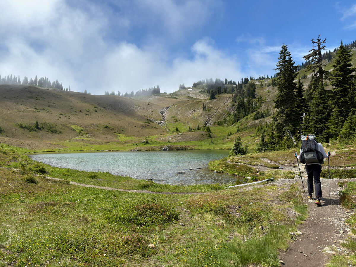 Heart Lake.
Ben, who worked as a park ranger in the park many years ago, thought the hills looked dry and bony this low-snow year.
Heart Lake.
Ben, who worked as a park ranger in the park many years ago, thought the hills looked dry and bony this low-snow year.
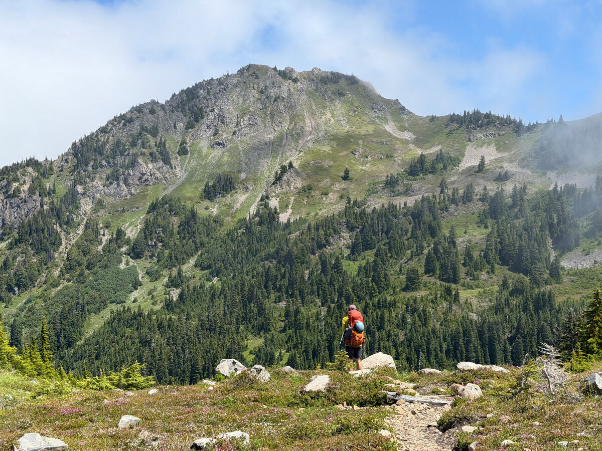 Nearby peaks going in and out of the clouds
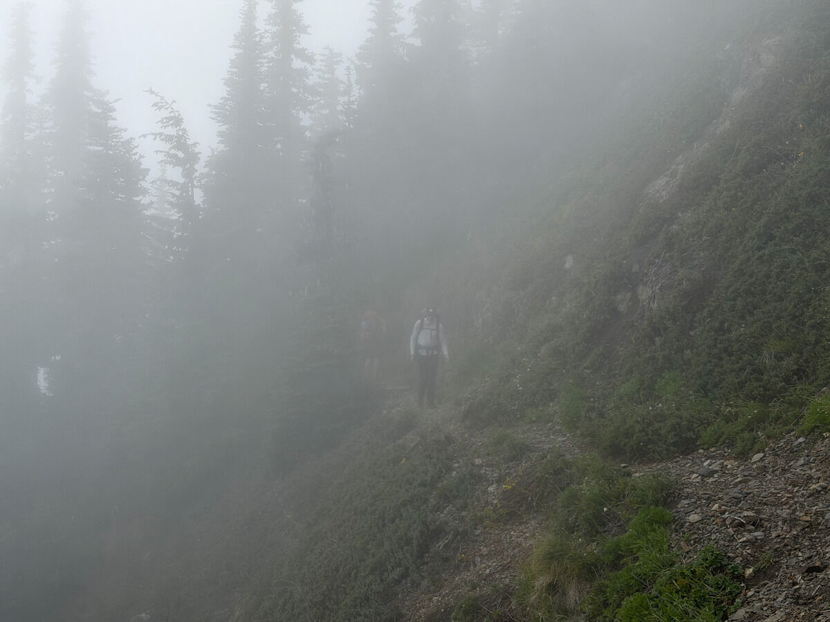 Now in the clouds
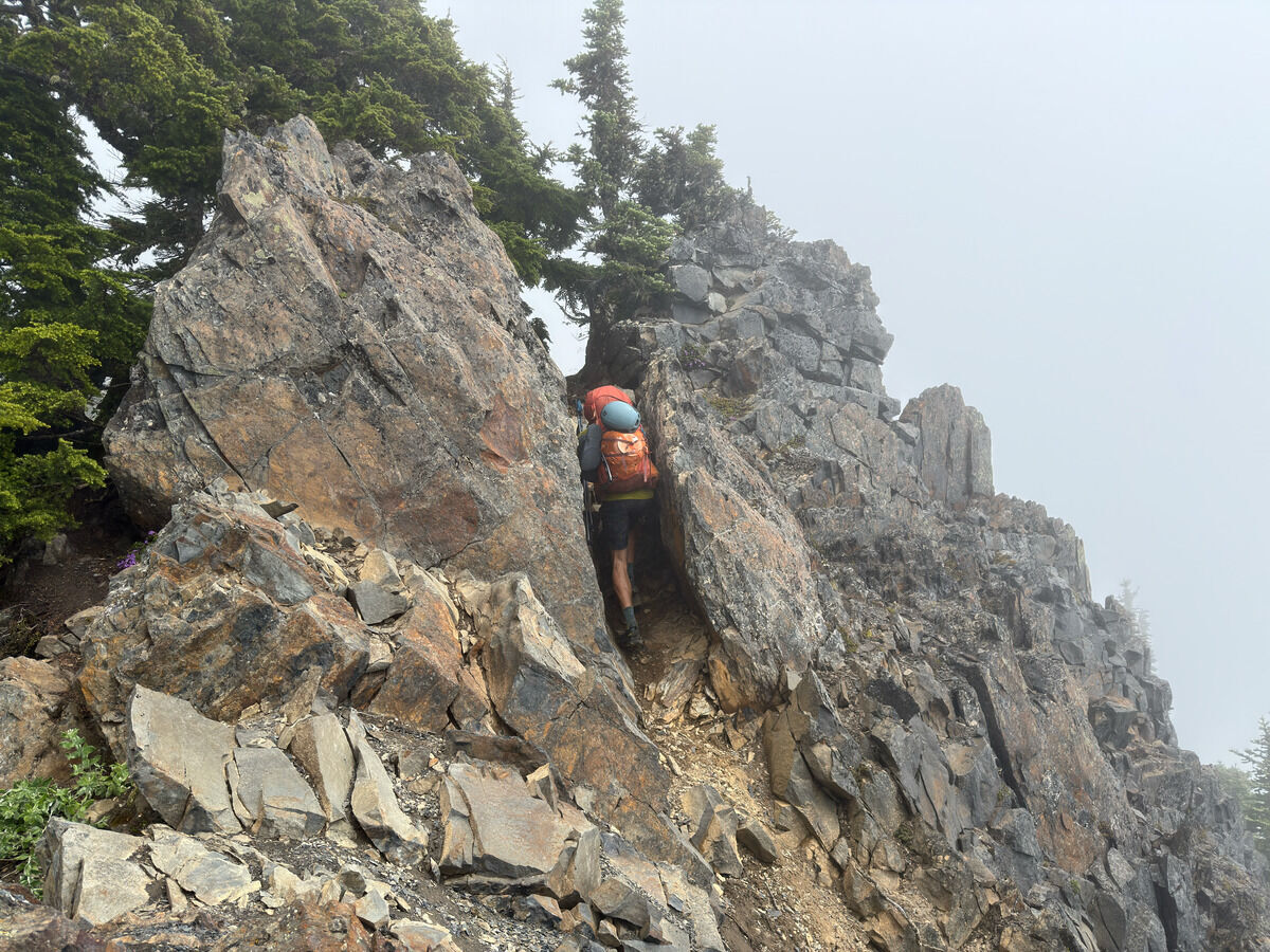 Part of the catwalk section
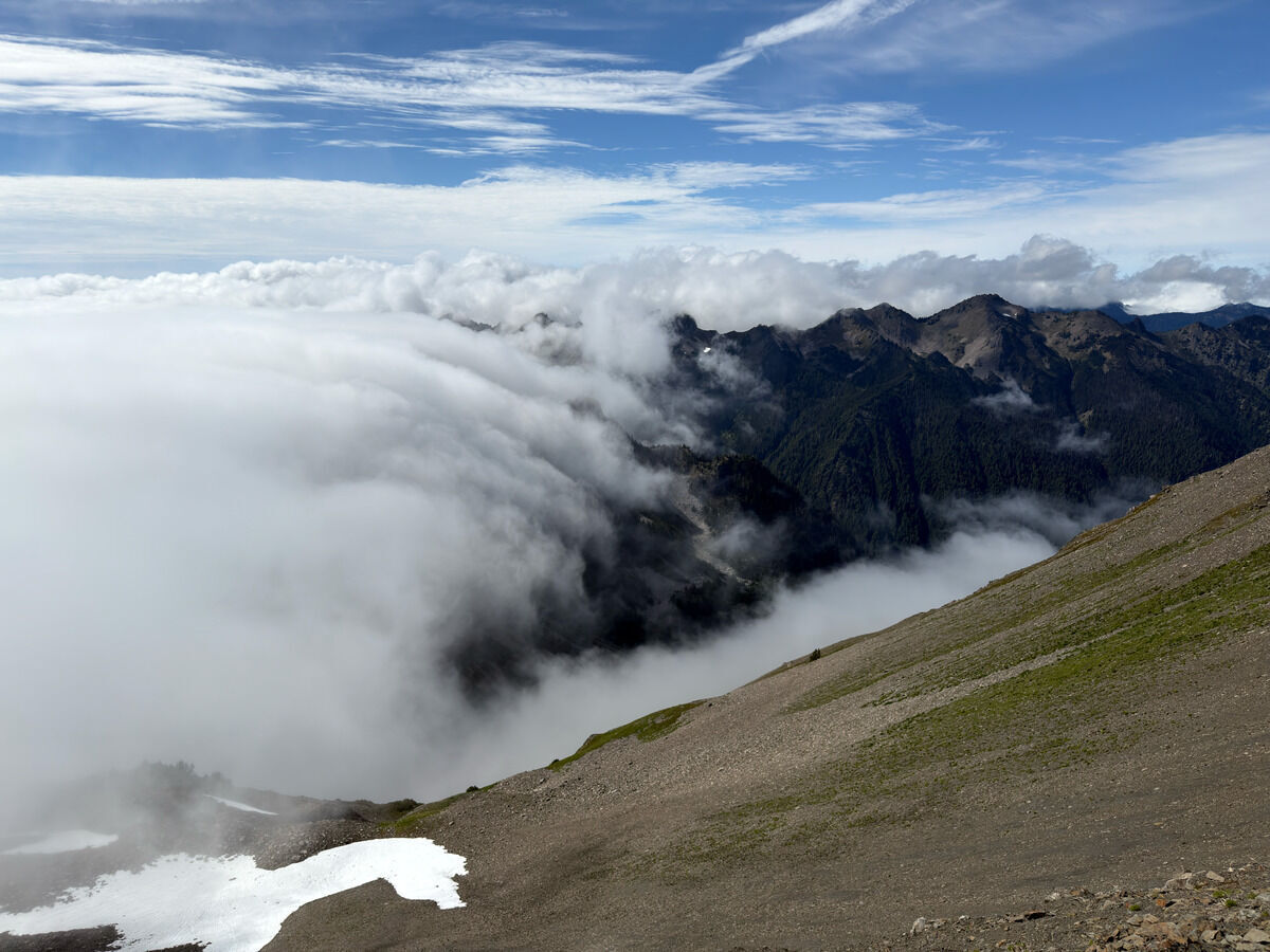 Who turned the cloud machine on?
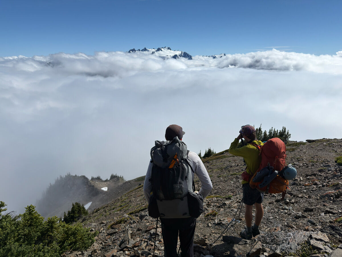 Getting my first glimpse of Olympus this trip
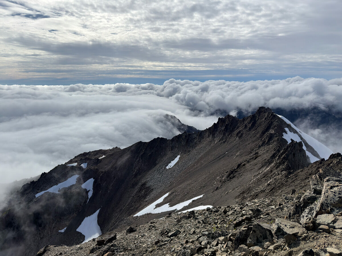 We opted to climb Mount Carrie this trip versus side hilling to Eleven Bull Basin
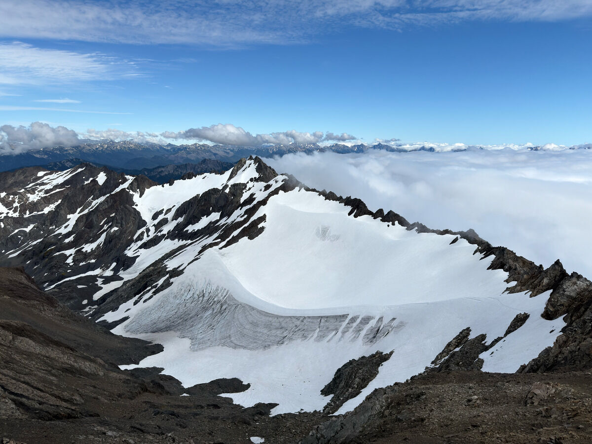 Fairchild Glacier
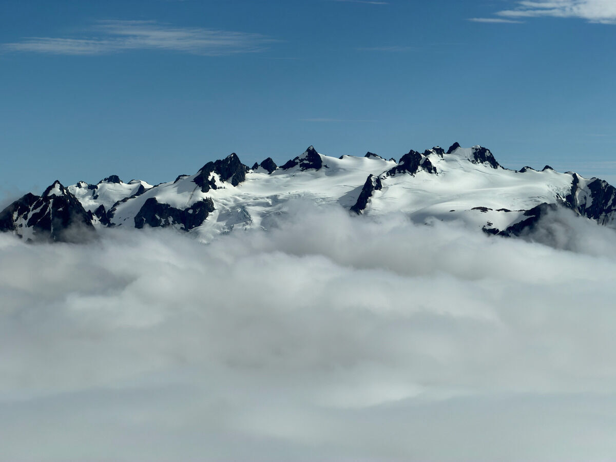 Mount Olympus
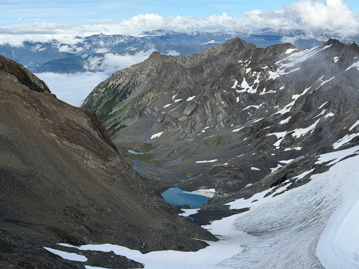 Down the Fairchild Glacier
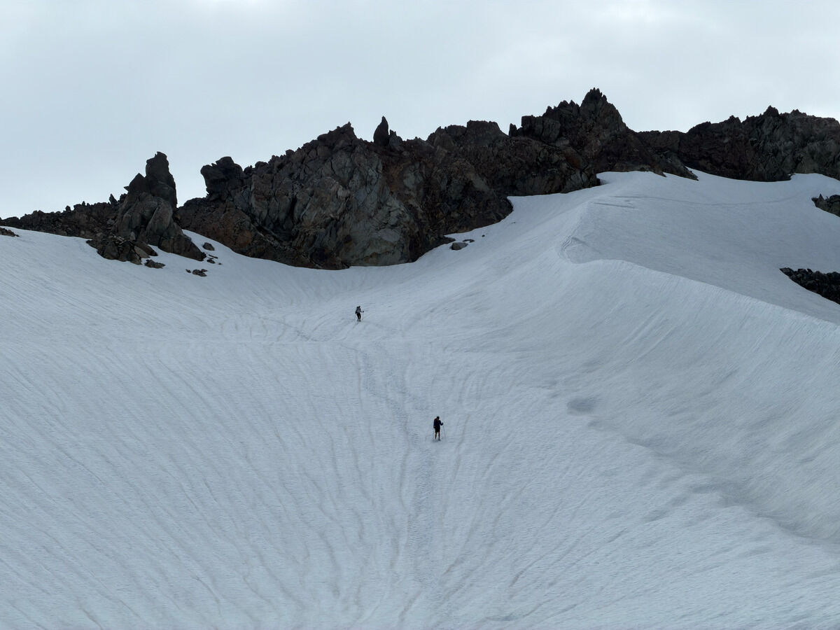 Bootskiing
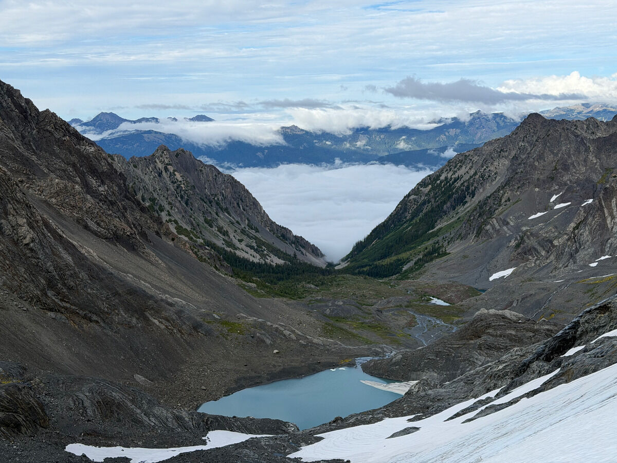 Clouds stuck at the mouth of the valley
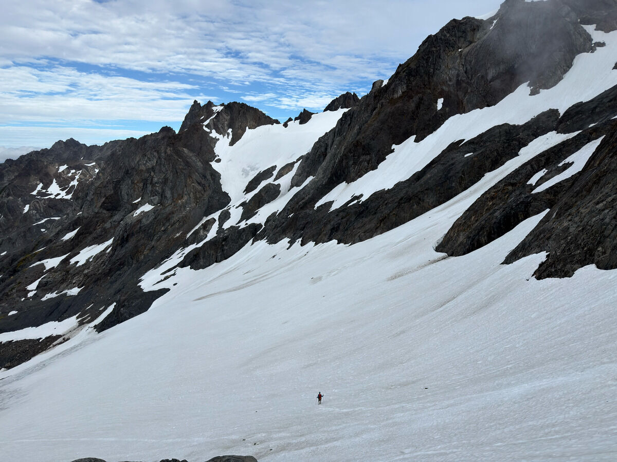 More bootskiing and up the left snow finger
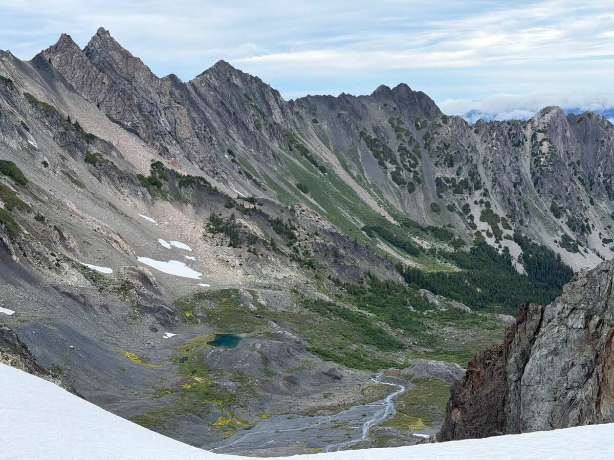 Cool seeing the contrast between the vegetation and dullness
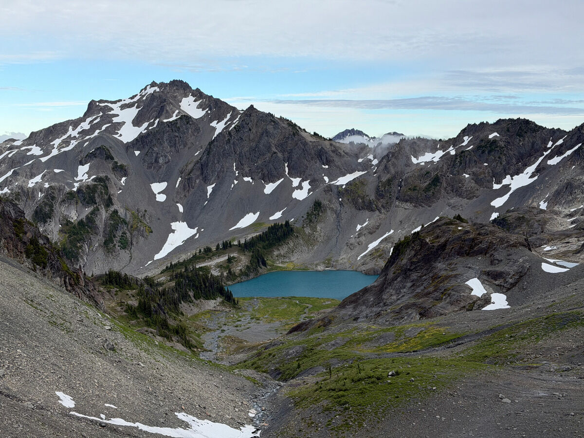 Dropping down into Stephen Lake, our camp for the night
Day 2: Stephen Lake → Humes Glacier
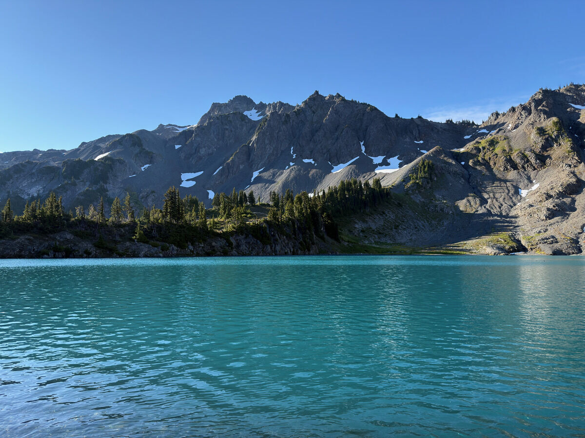 Morning lake views
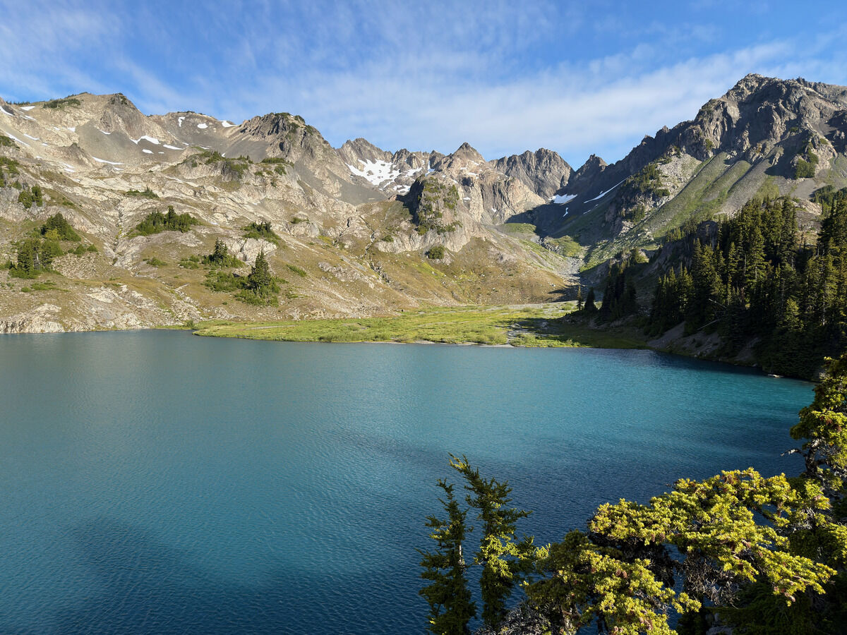 Looking back at our marshy camp spot and where we came from
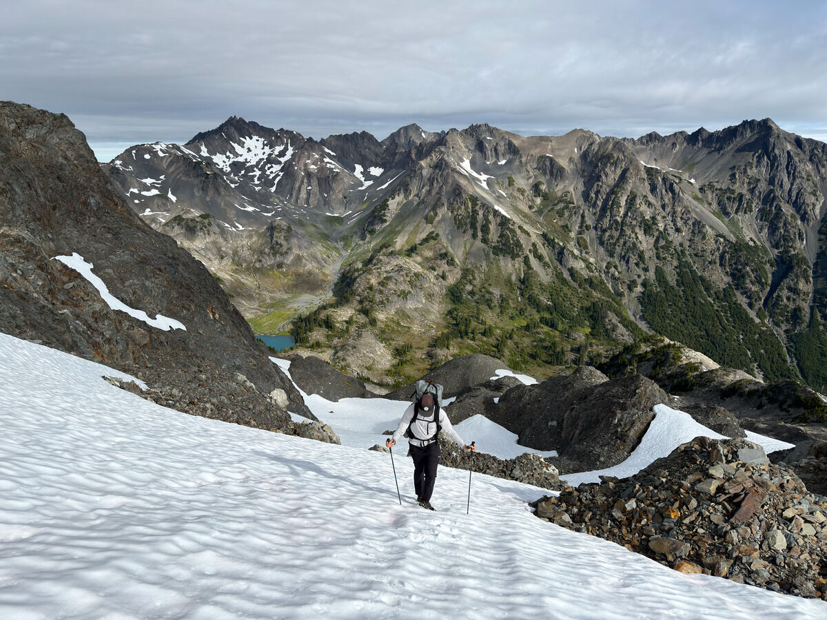 Climbing up Stephen Peak
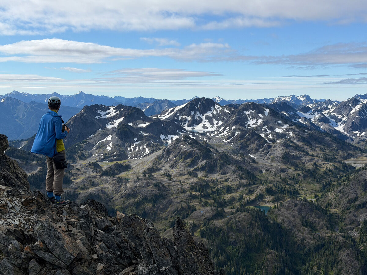 This part of the Olympics seemed a bit more gray than I was anticipating
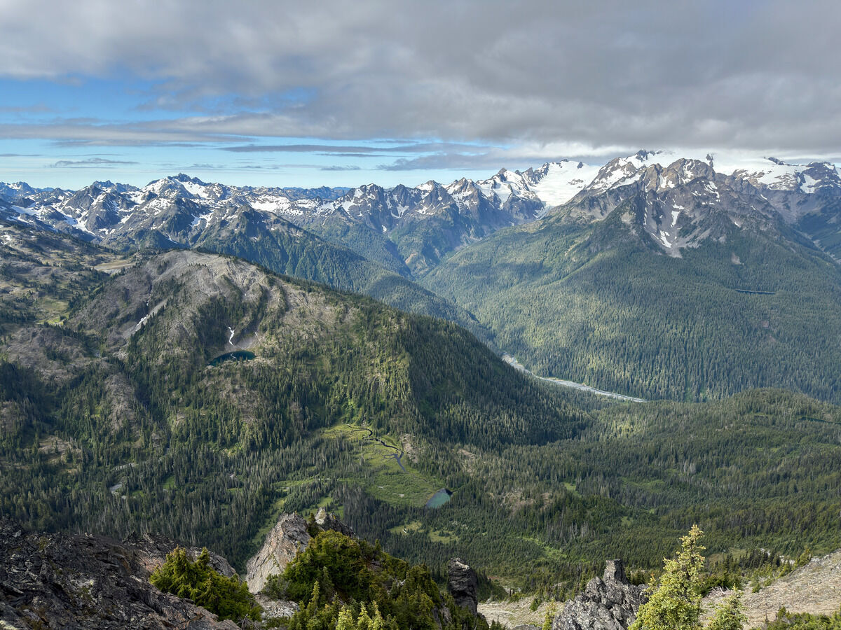 But more vegetated below
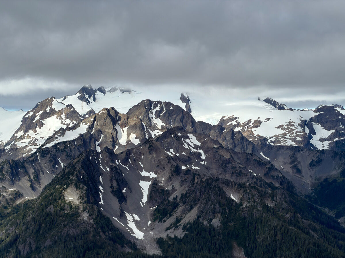 Olympus socked in today
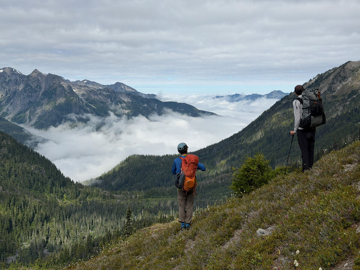
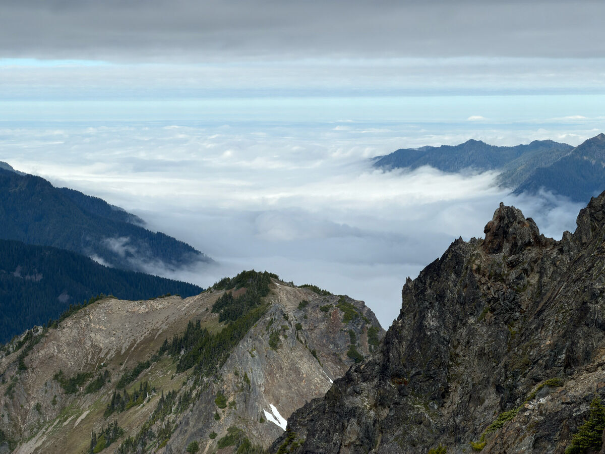 Clouds stuck in the Hoh River valley
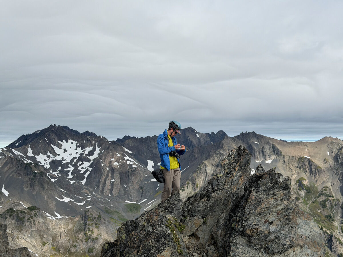 Cool clouds
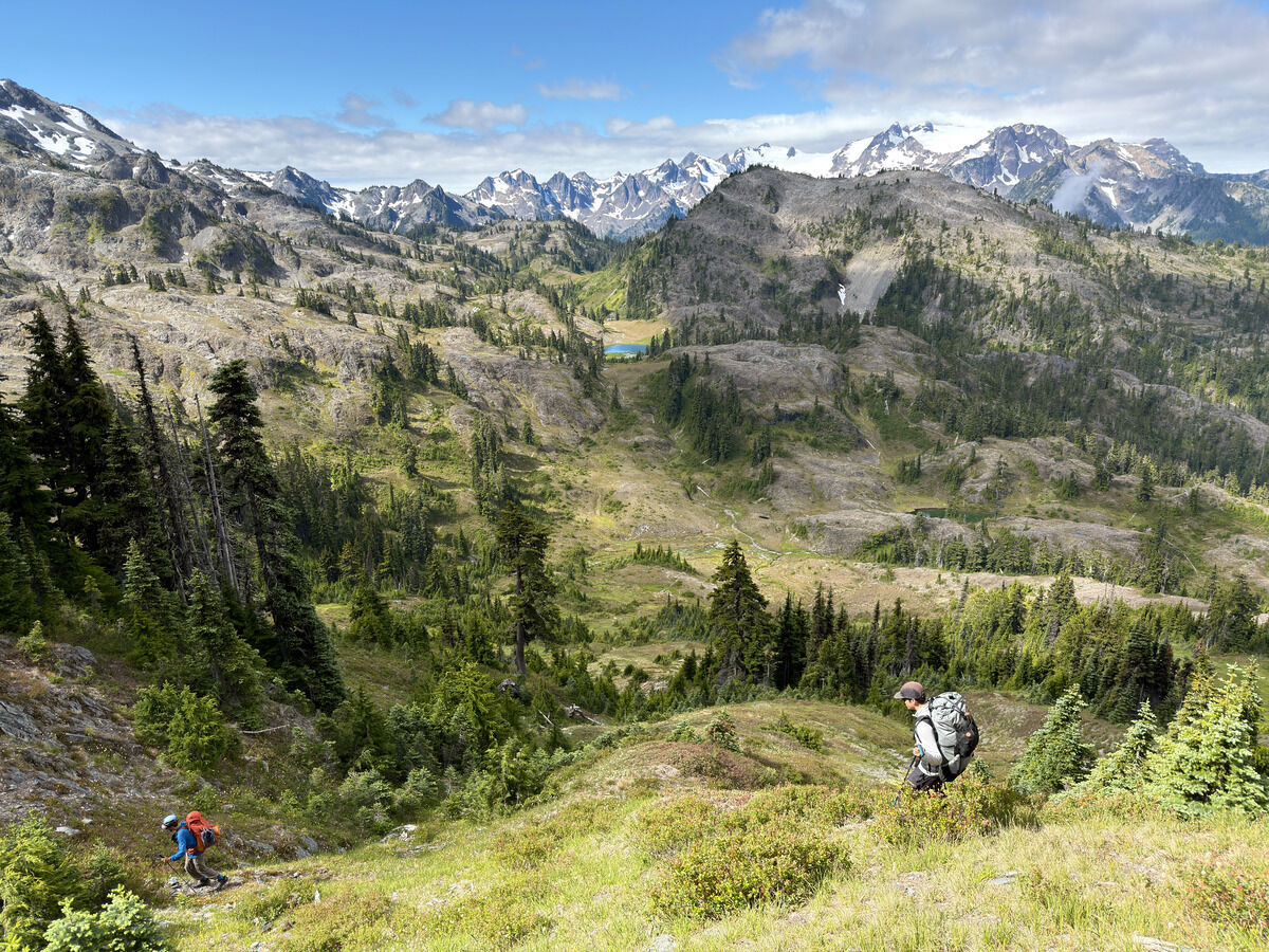
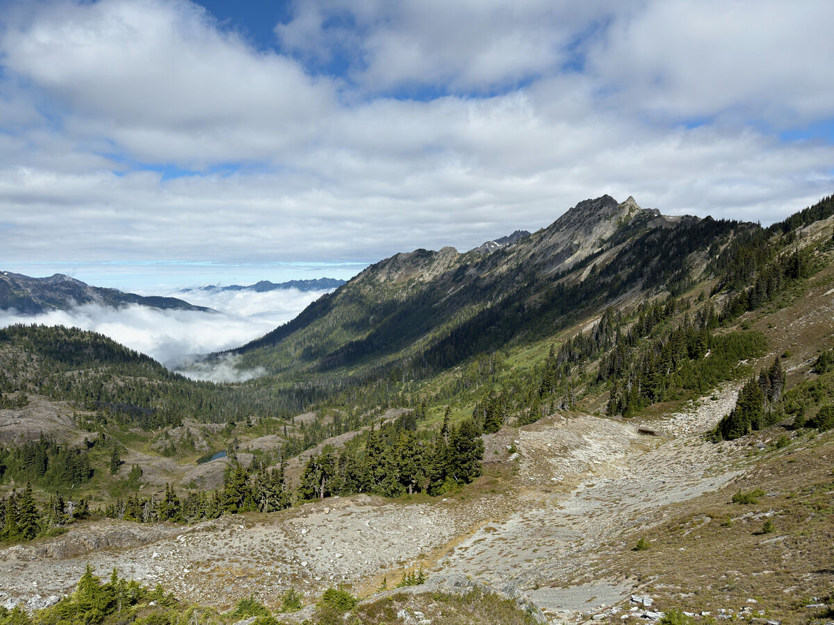
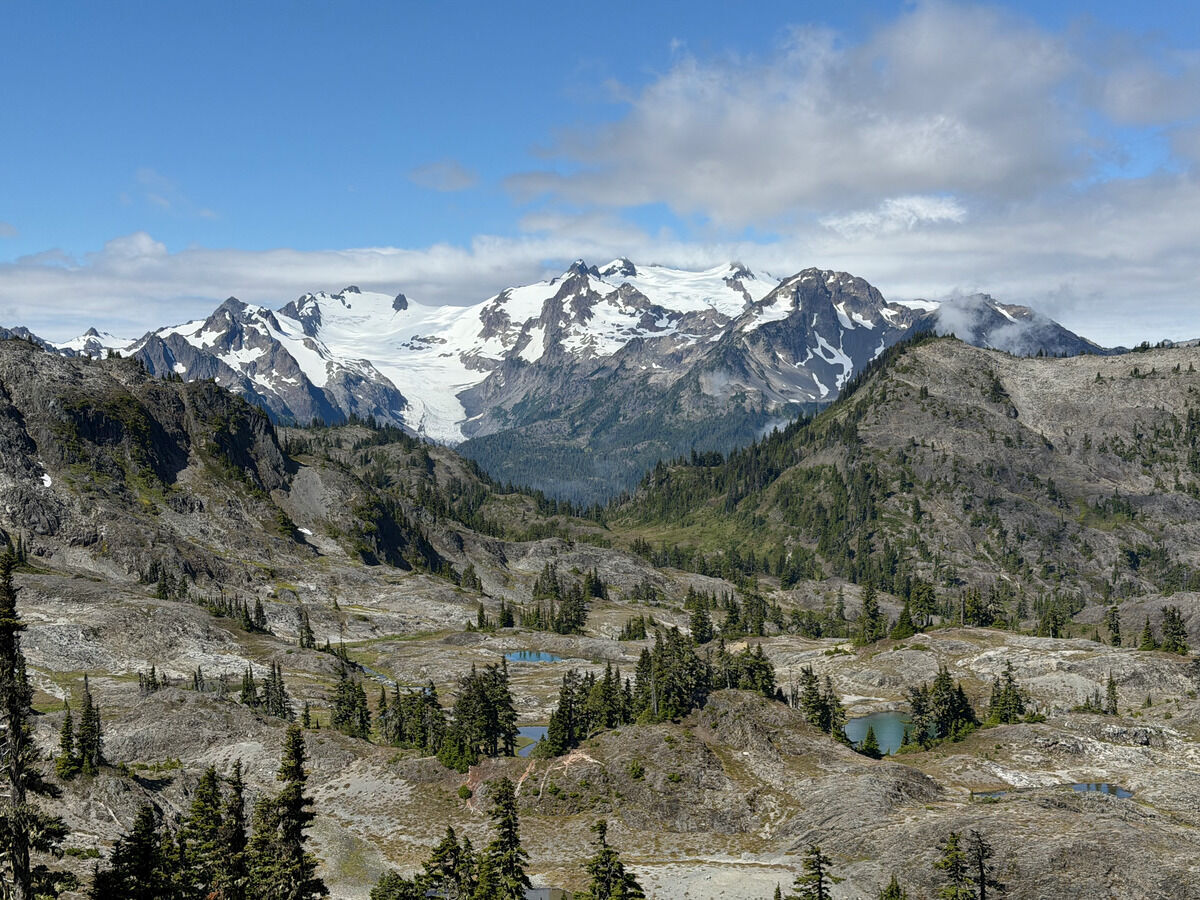
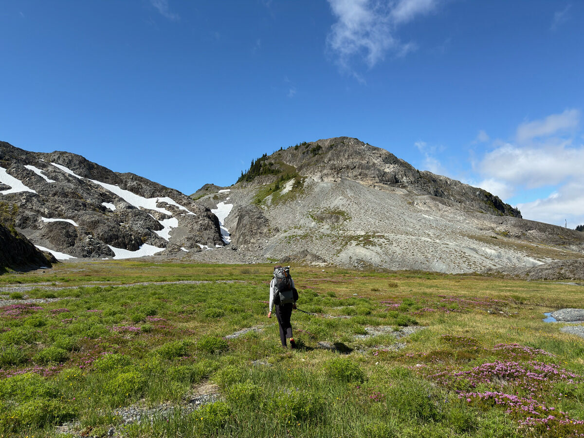
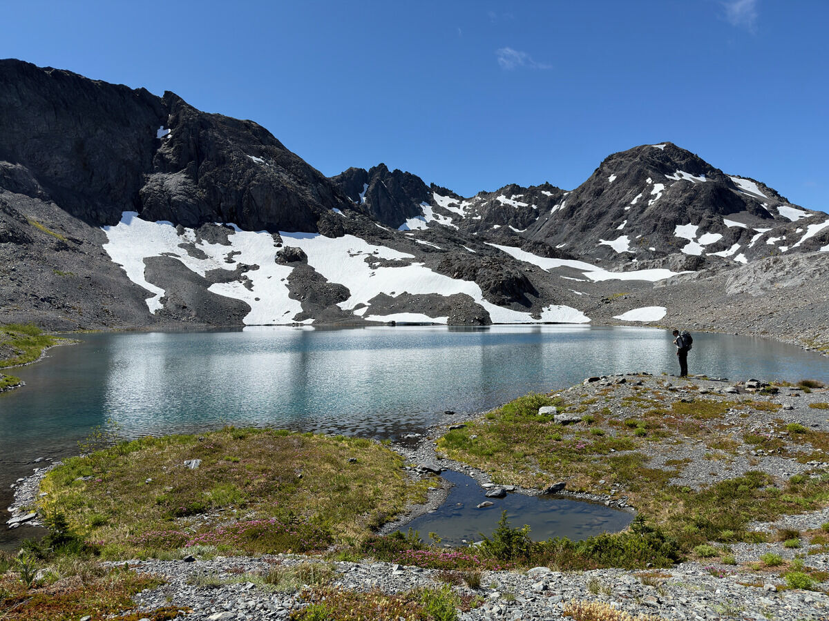
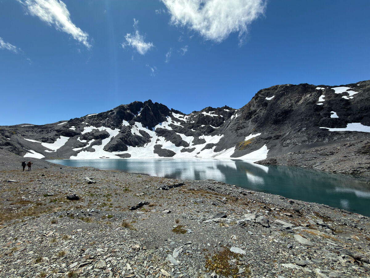
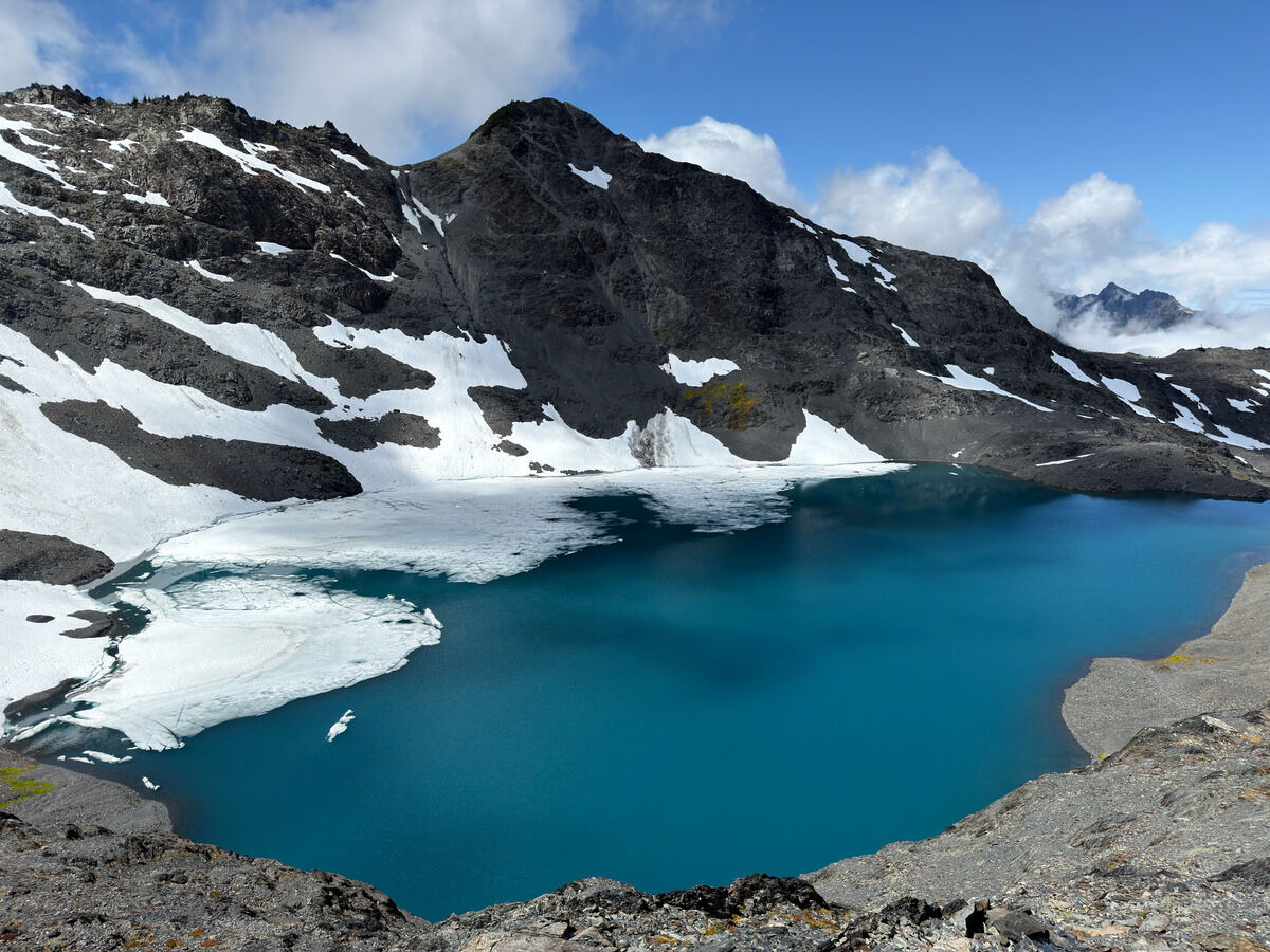
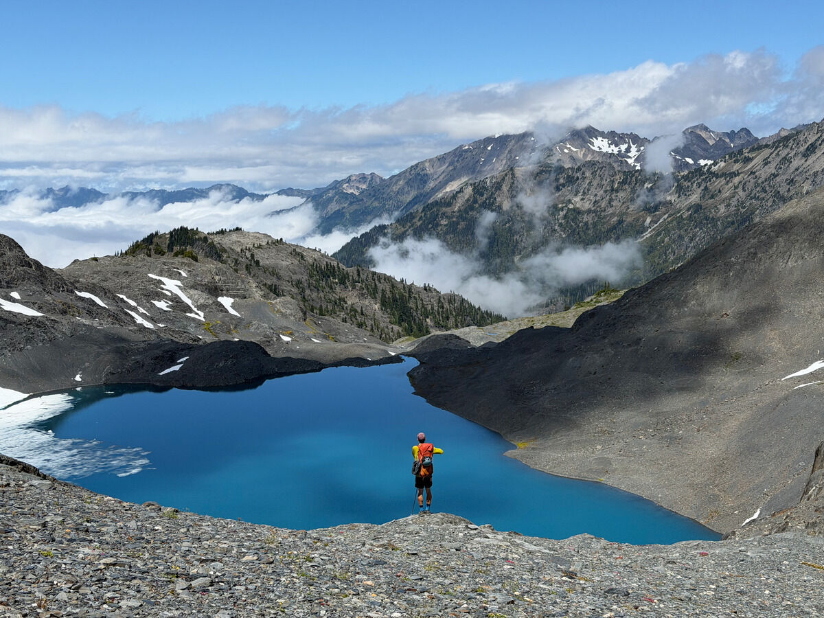
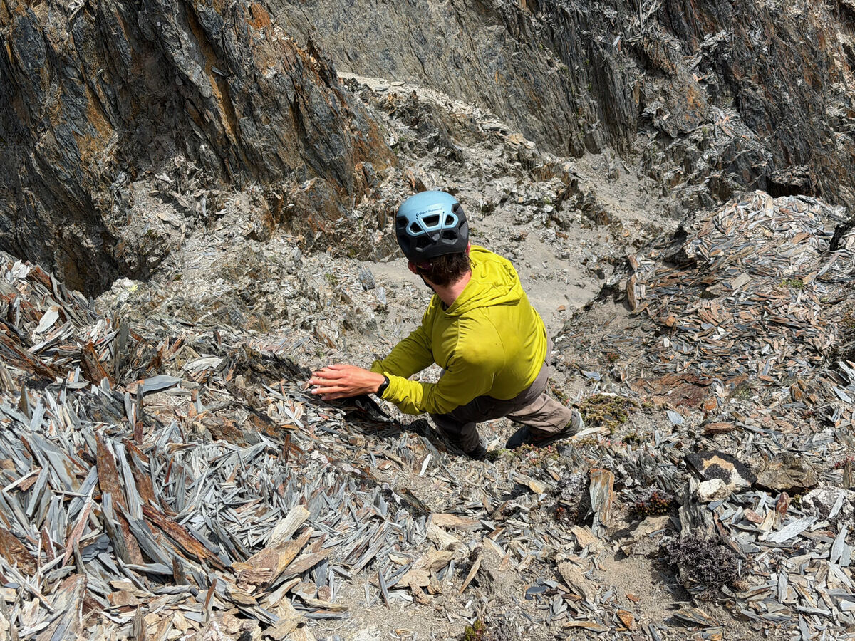 Nothing was that super secure on Mount Pulitzer.
The rock kind of reminded me of tree bark.
Nothing was that super secure on Mount Pulitzer.
The rock kind of reminded me of tree bark.
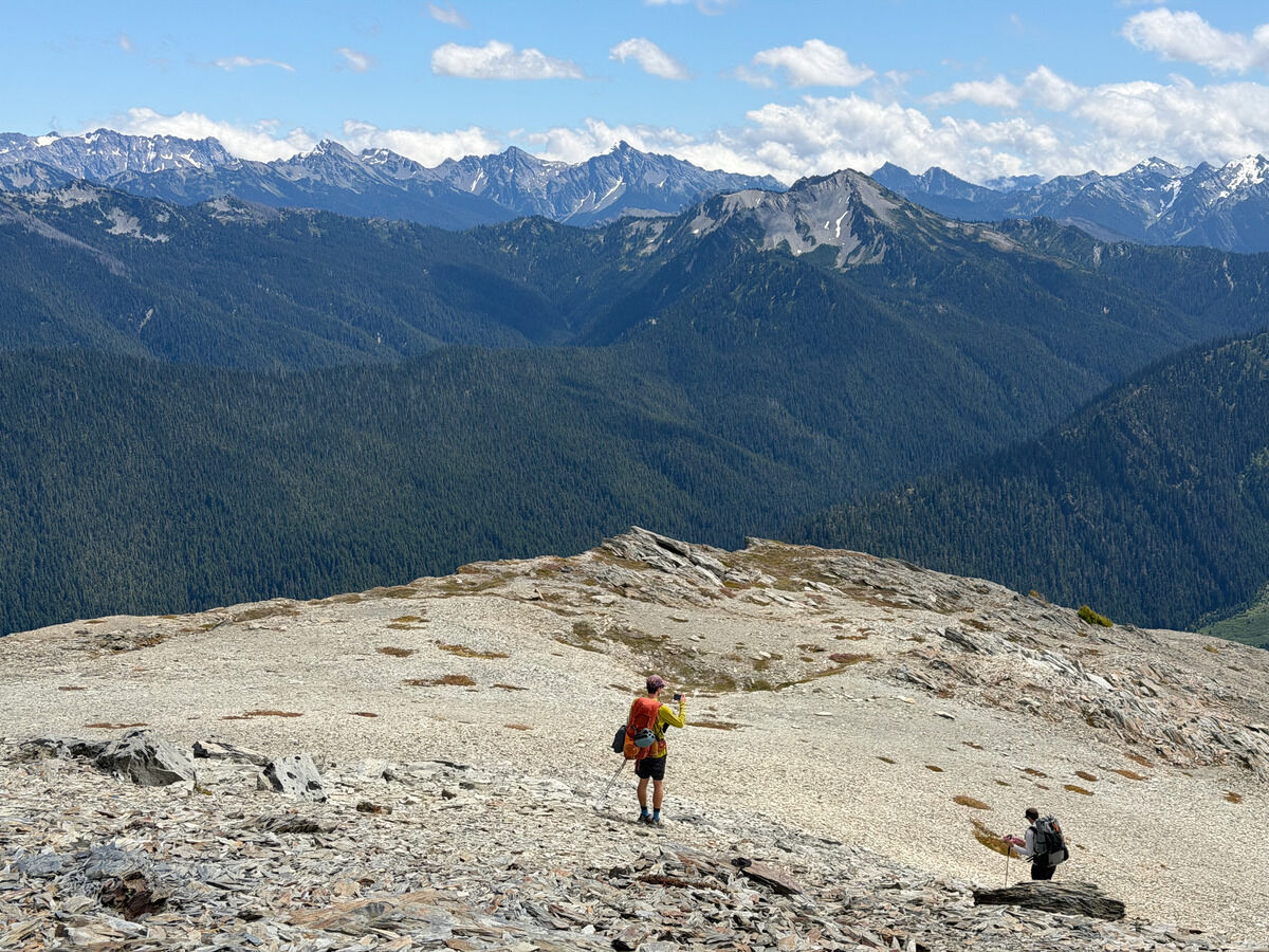
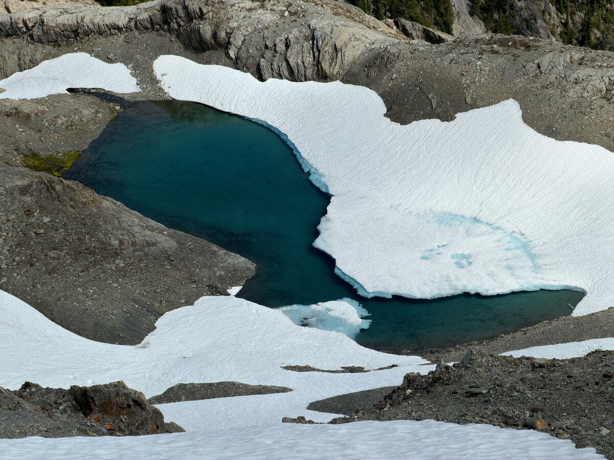
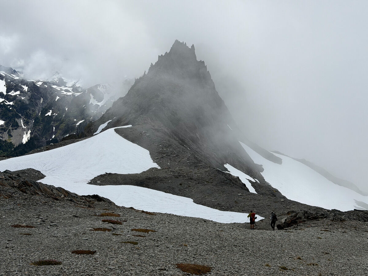 Descending into the clouds near Bailey Ridge
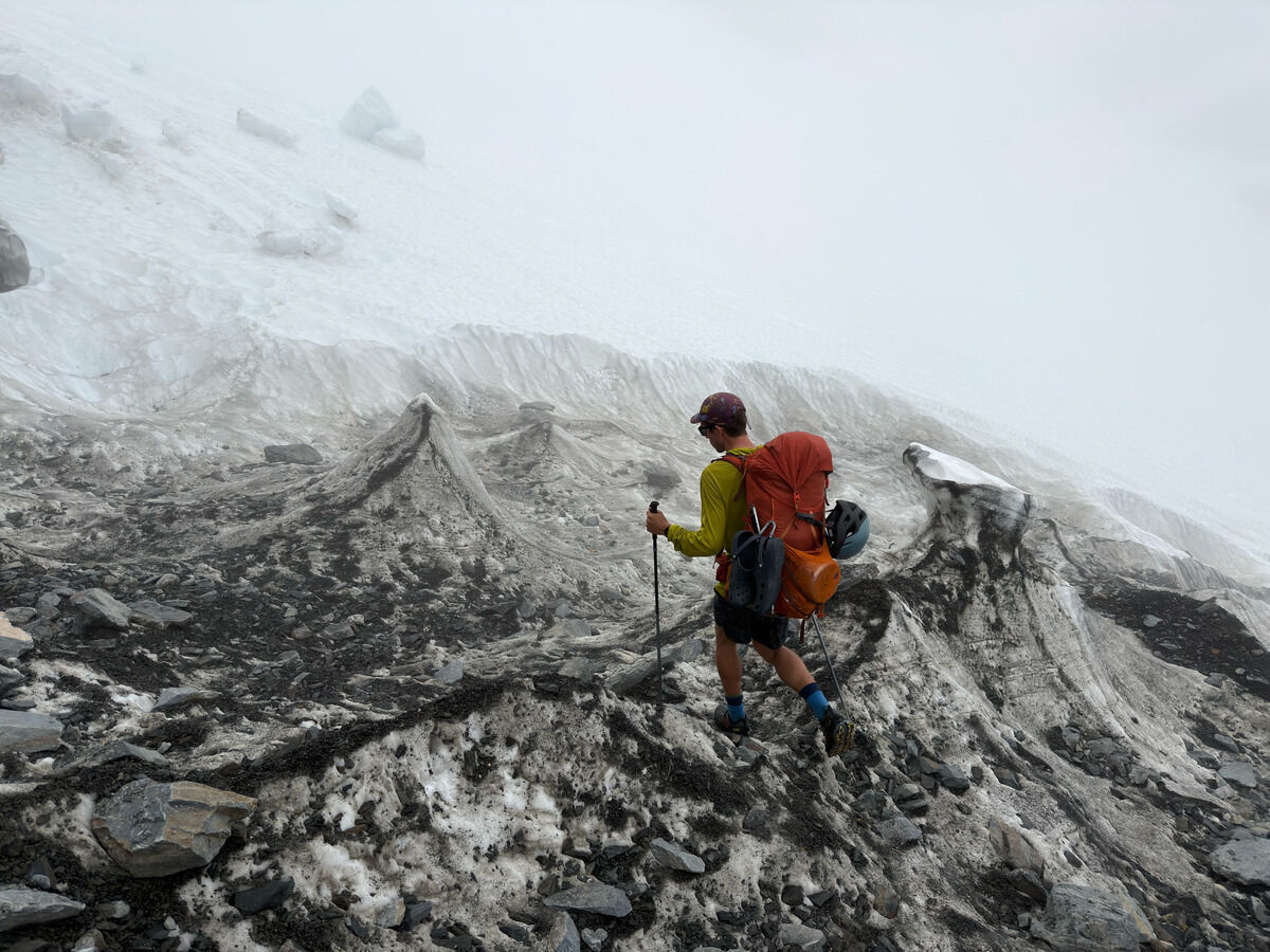 Feels like a foreign planet
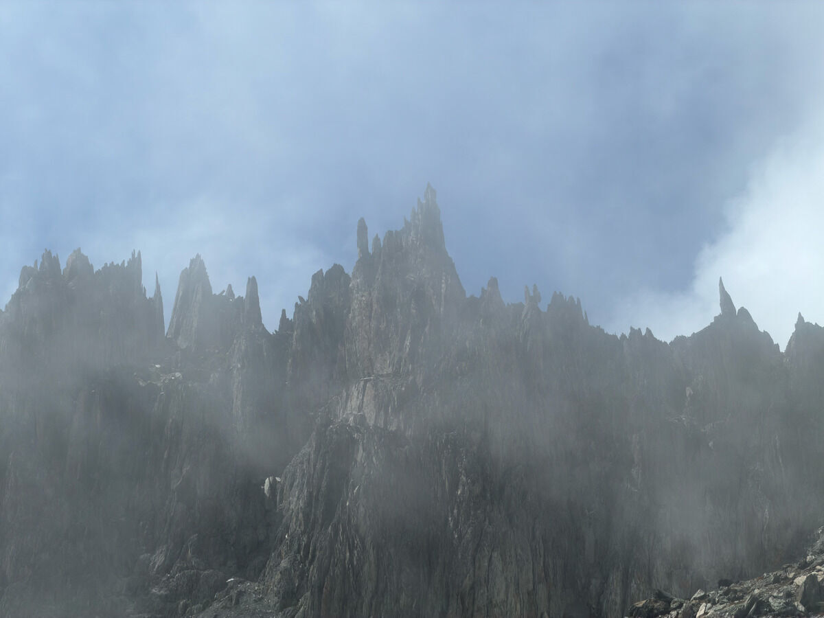 Leaving the clouds and seeing the spikes near Mount Childs
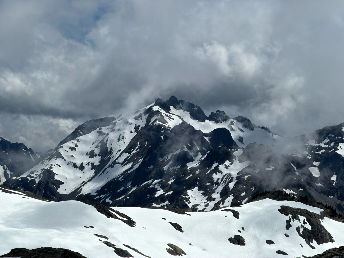 Queets and Meany, now seeing some peaks of the park I have zero idea about
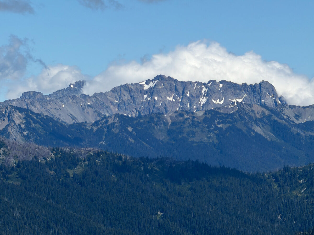 Thought this was Constance, but looking at the walls of West Peak instead
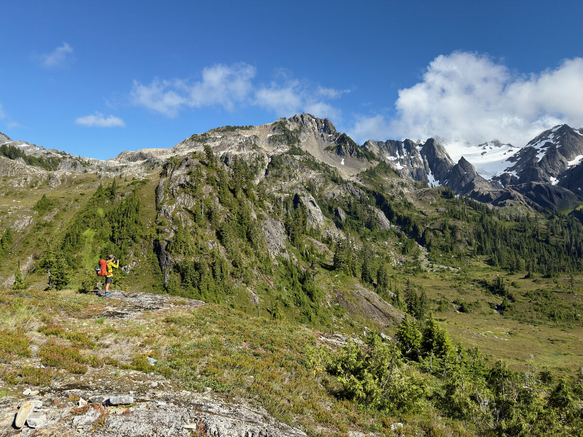
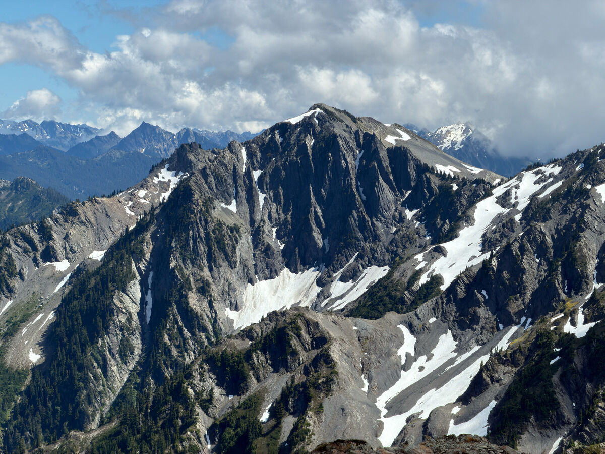 More rugged mountains here than I initially expected
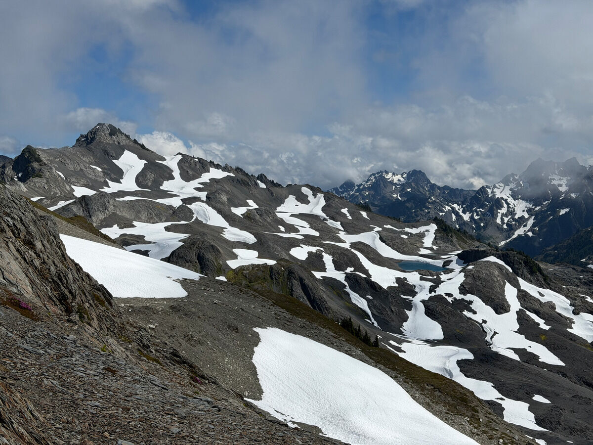 Mount Barnes and its snow patches
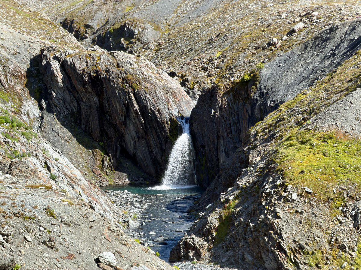
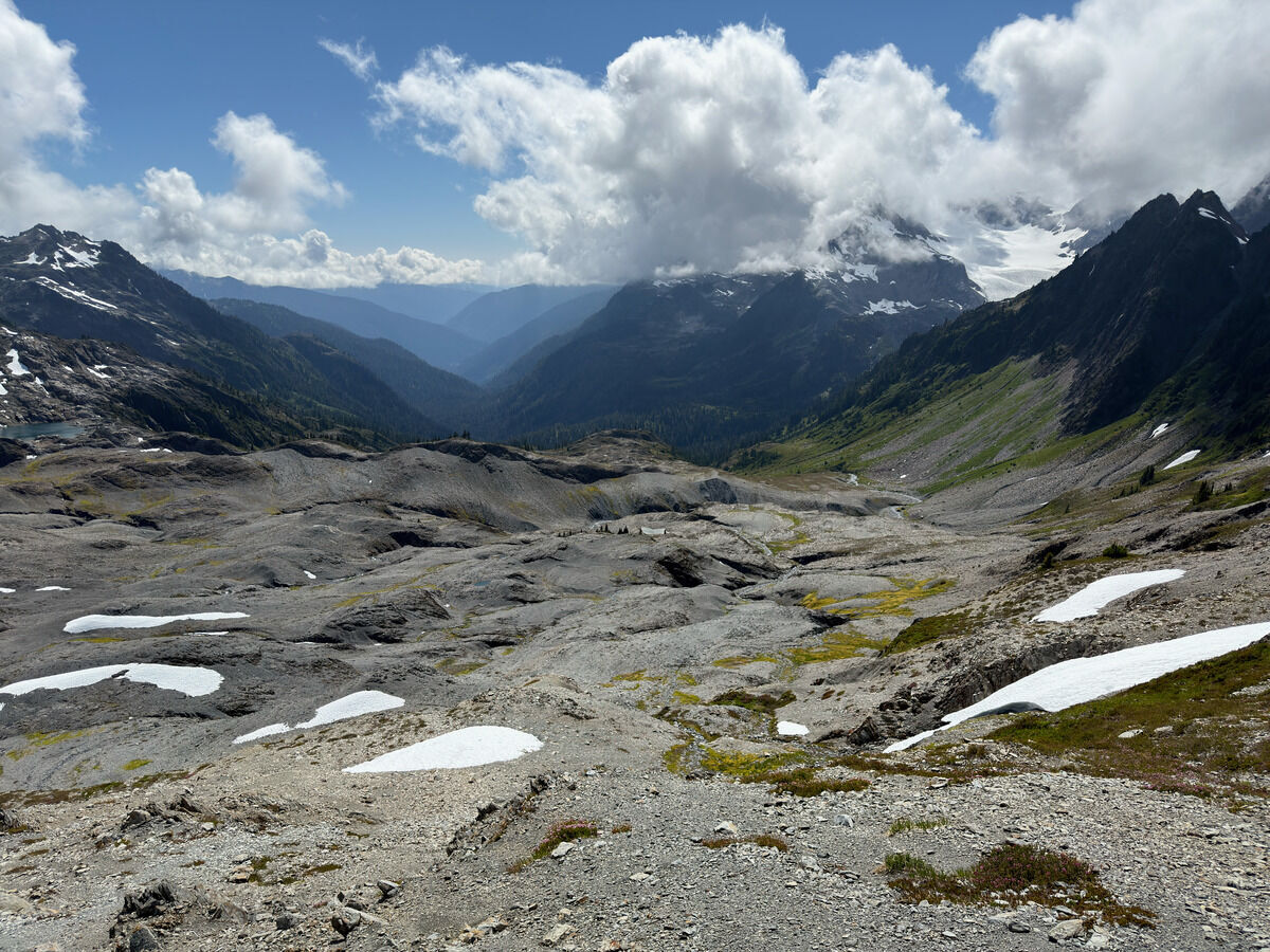 Arid post-glacial landscape looking into Queets.
Possibly one of the most remote places in the park.
Arid post-glacial landscape looking into Queets.
Possibly one of the most remote places in the park.
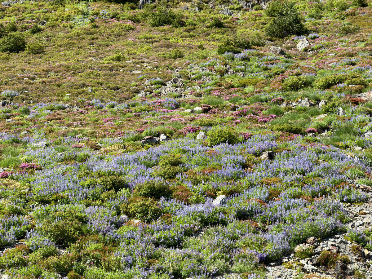
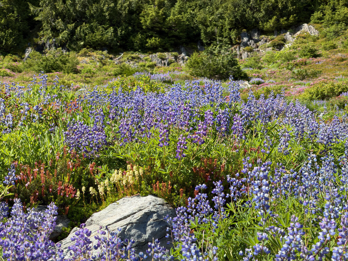
 Back to forest
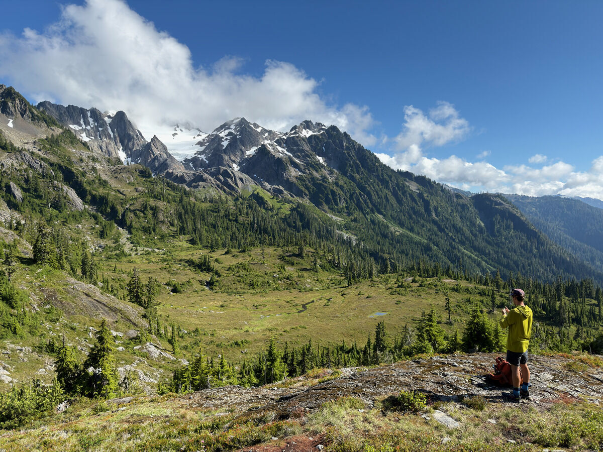 Queets in the clouds
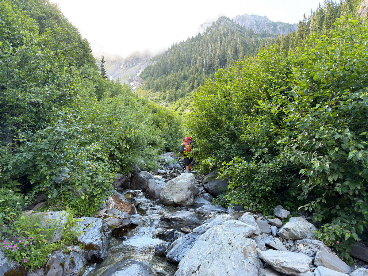
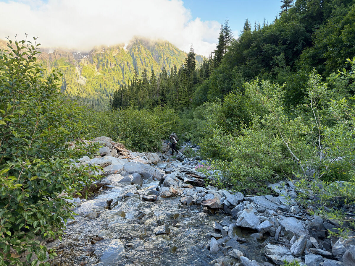
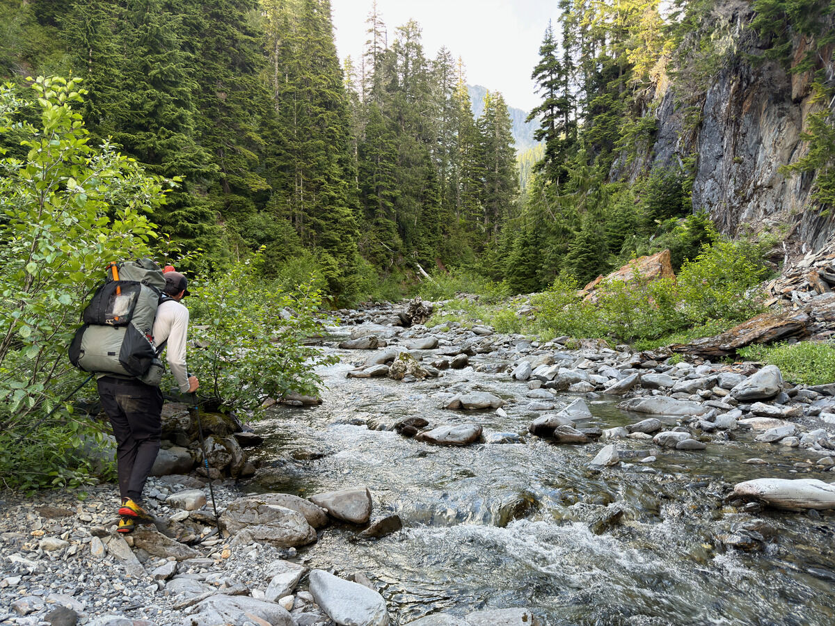 Slow moving terrain going up the river to the Humes Glacier
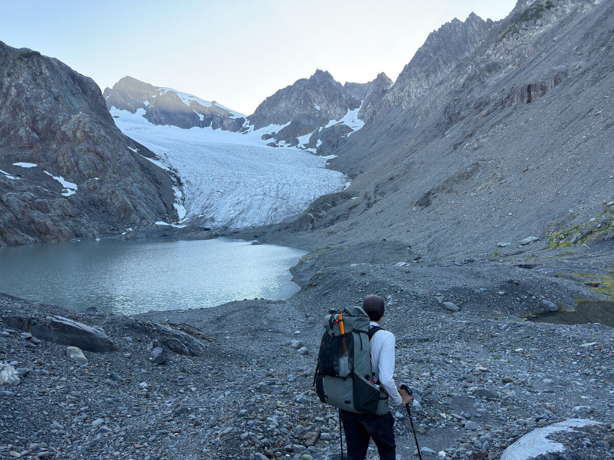 We got up too late in the day and had too much fun so we couldn’t quite make it to Camp Pan at a reasonable hour.
We decided to set up at the base of the heavily receded Humes Glacier.
We got up too late in the day and had too much fun so we couldn’t quite make it to Camp Pan at a reasonable hour.
We decided to set up at the base of the heavily receded Humes Glacier.
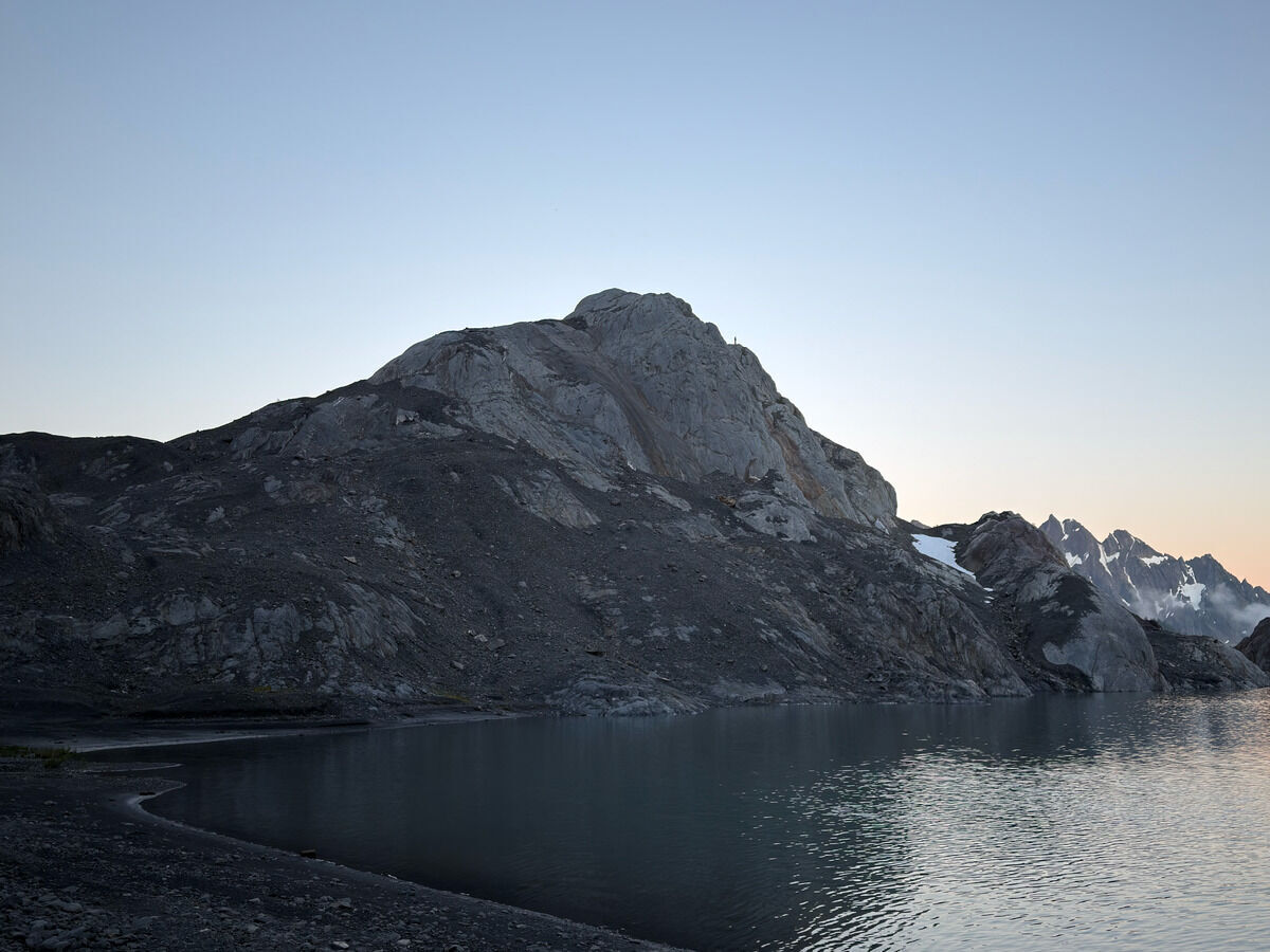 You can see Wyatt on the rocks, the glacial recession is massive given that it probably touched those rocks a couple decades ago.
Day 3: Humes Glacier → Glacier Meadows
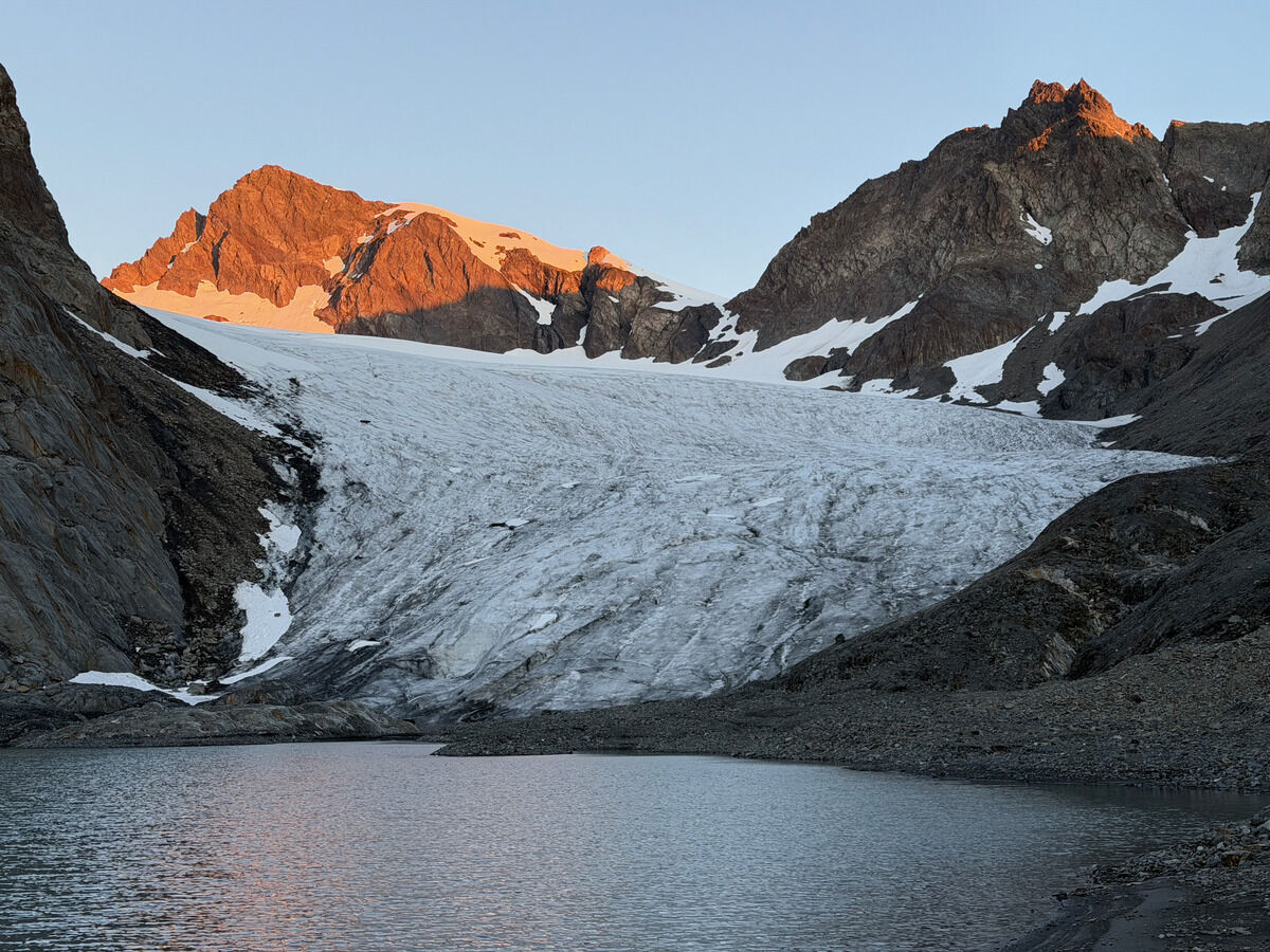 Alpenglow
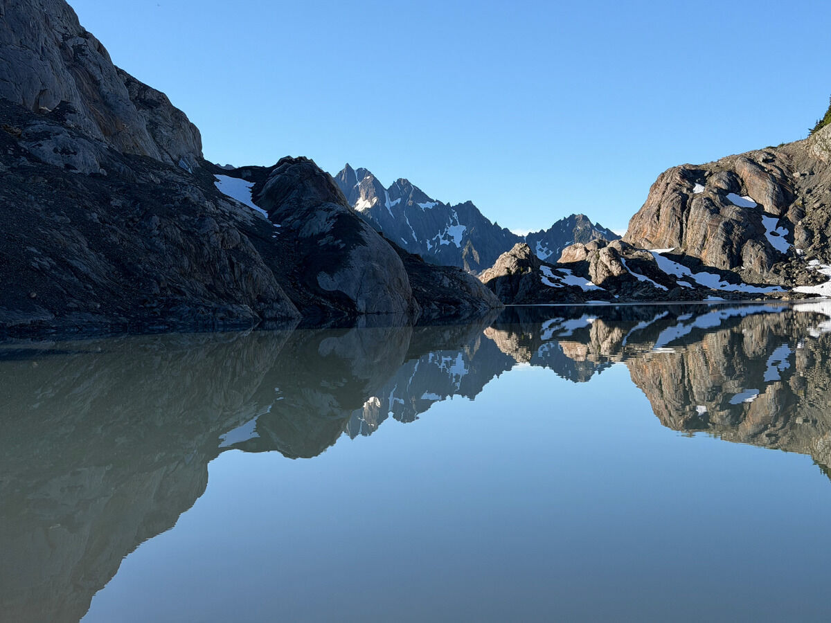
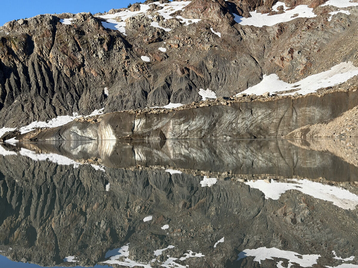 It was cool to hear ice chunks falling into the lake throughout the night
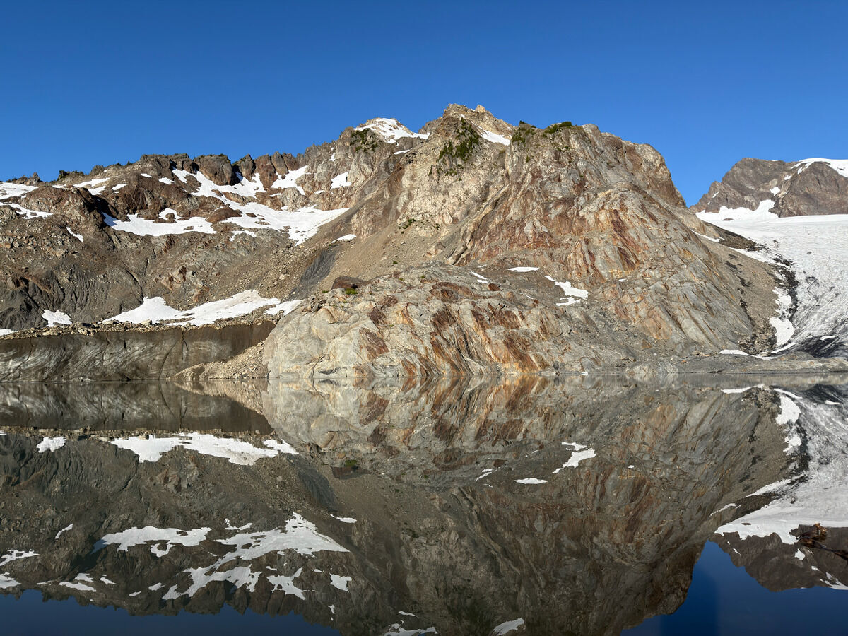 Icarus
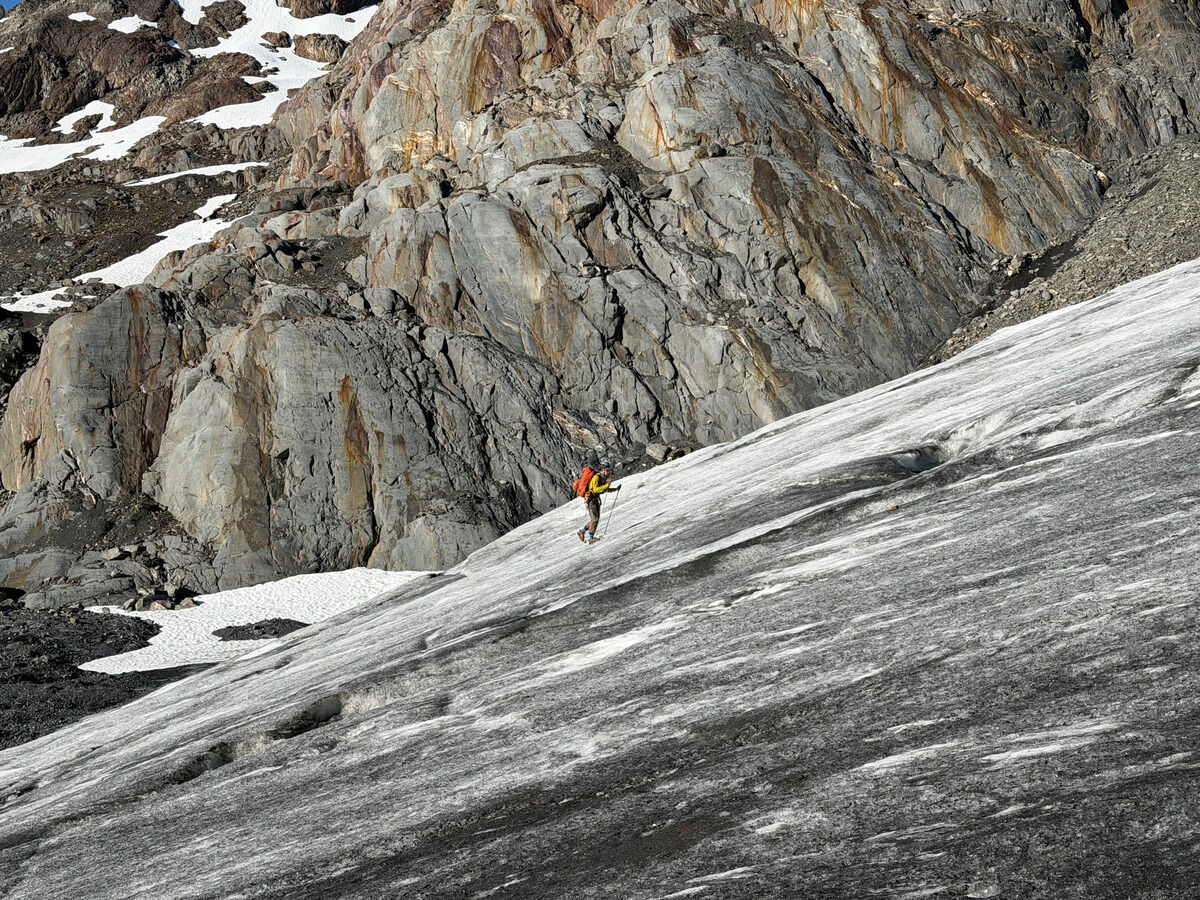
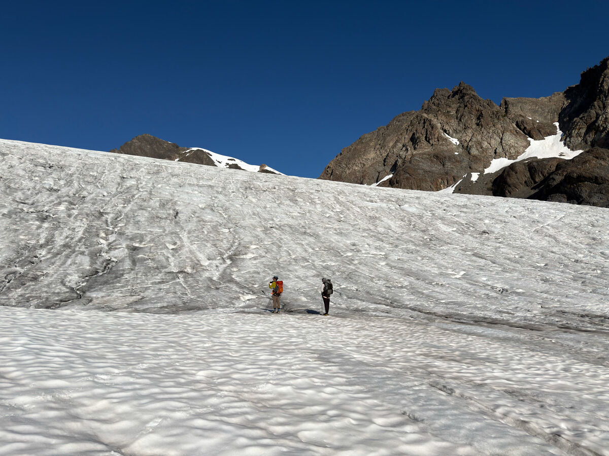
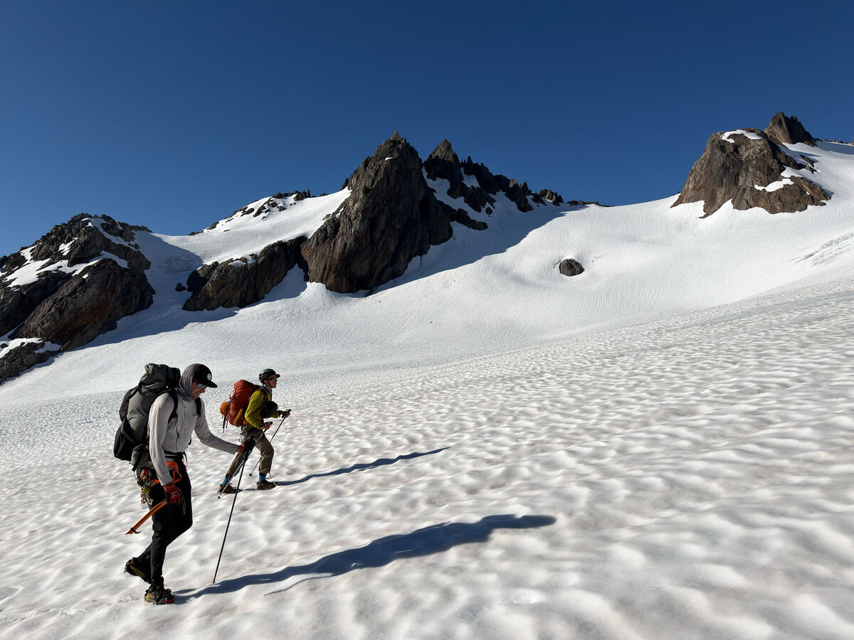
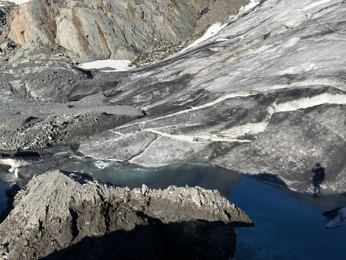 Making our way up the glacier now
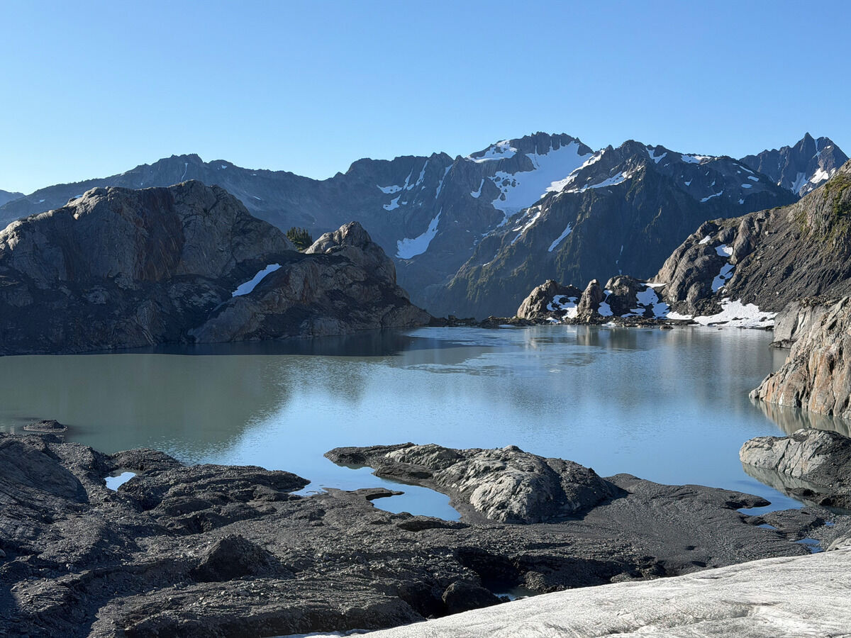
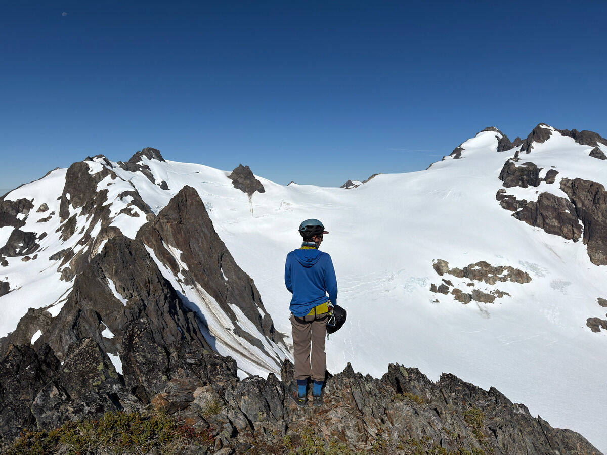 We made it to the top of Circe, maybe the easiest of the Greek gods/goddesses peaks.
Super cool position with a trivial walkup.
We made it to the top of Circe, maybe the easiest of the Greek gods/goddesses peaks.
Super cool position with a trivial walkup.
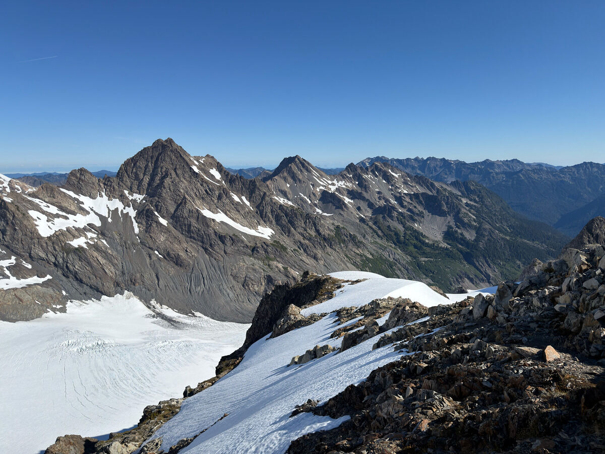 Looking down the Hoh Glacier
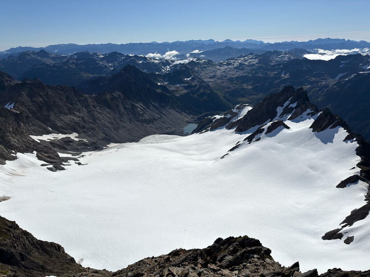 Looking back at the Humes and our lake camp spot last night
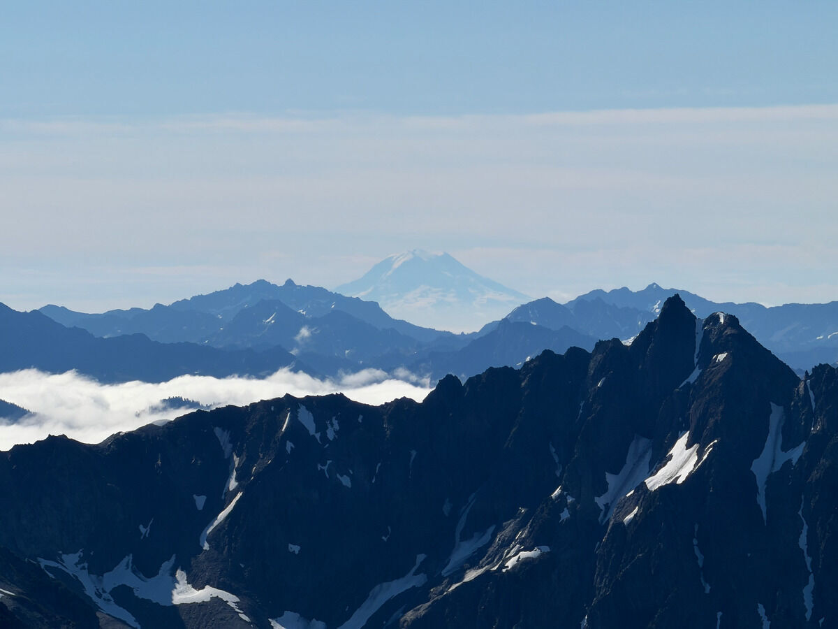 Rainier
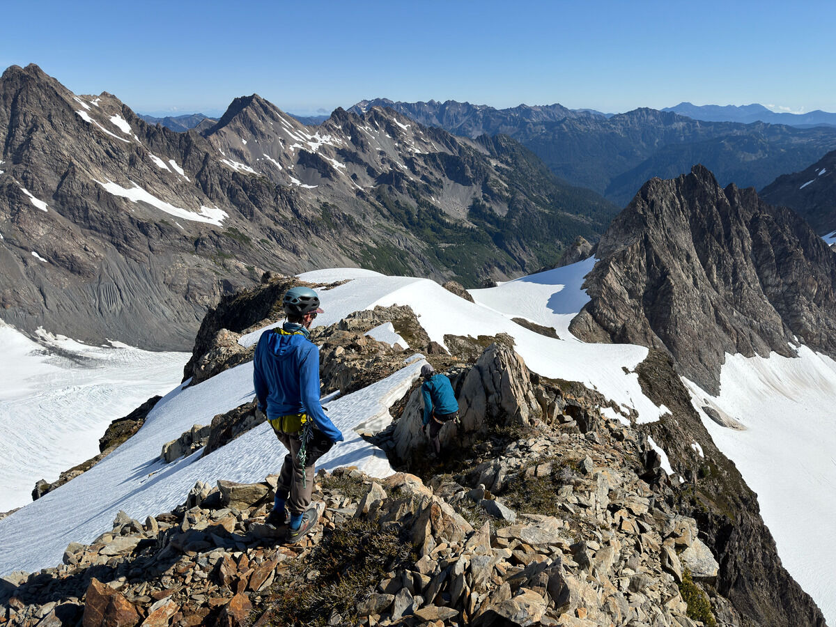
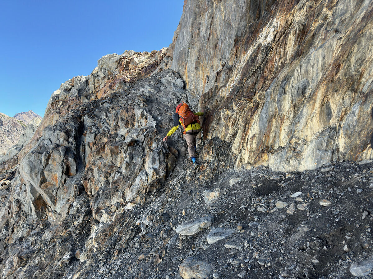 Getting onto the Hoh Glacier from Camp Pan was more arduous than the beta we had given the glacier recession and low snow year
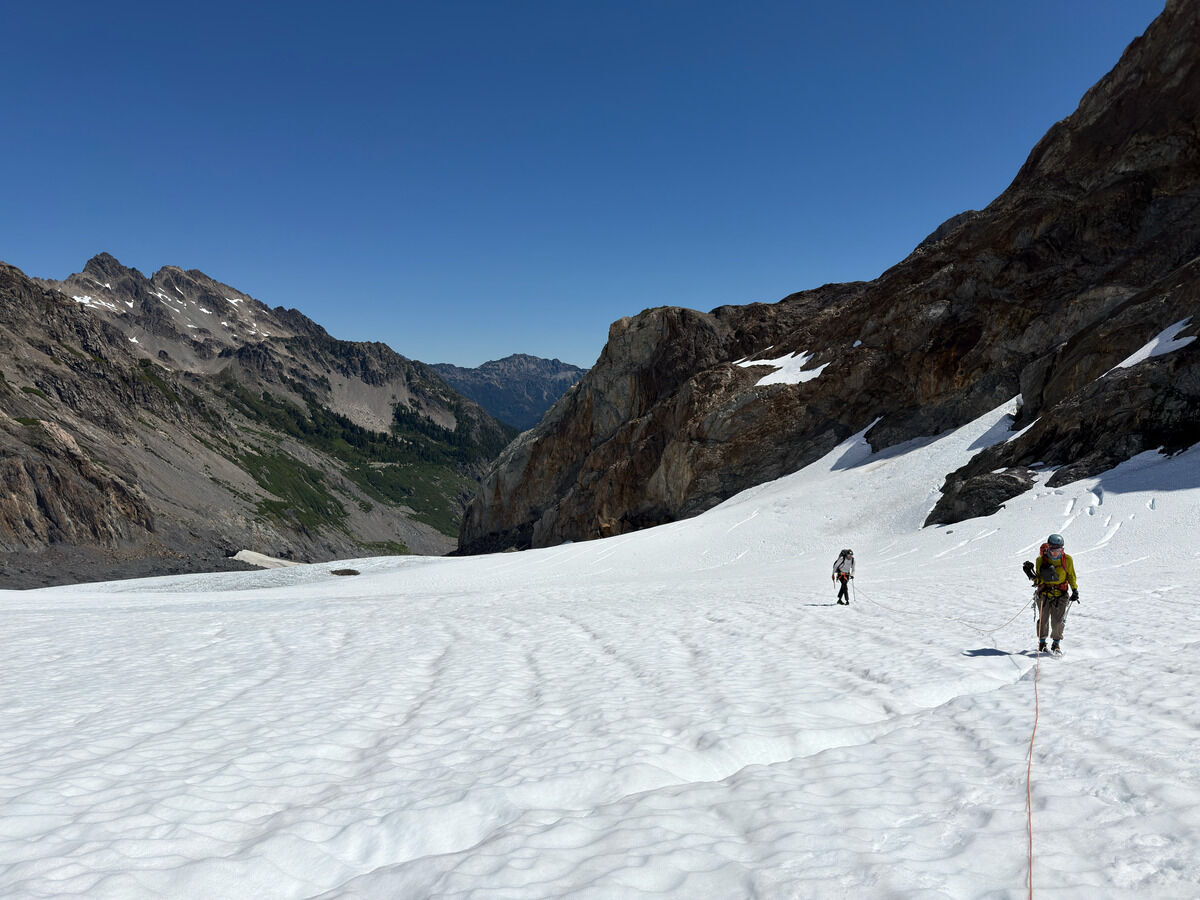 Going up the Hoh Glacier
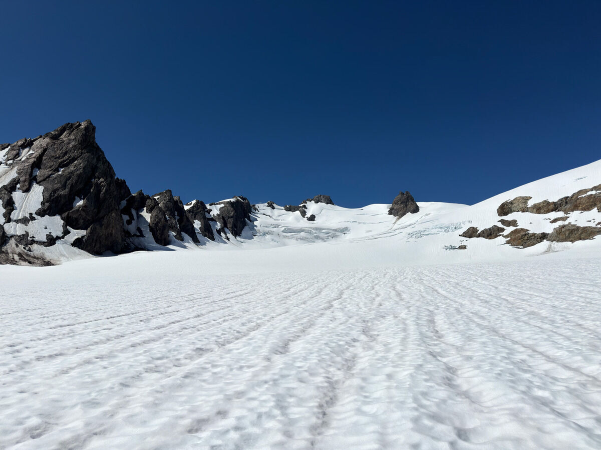
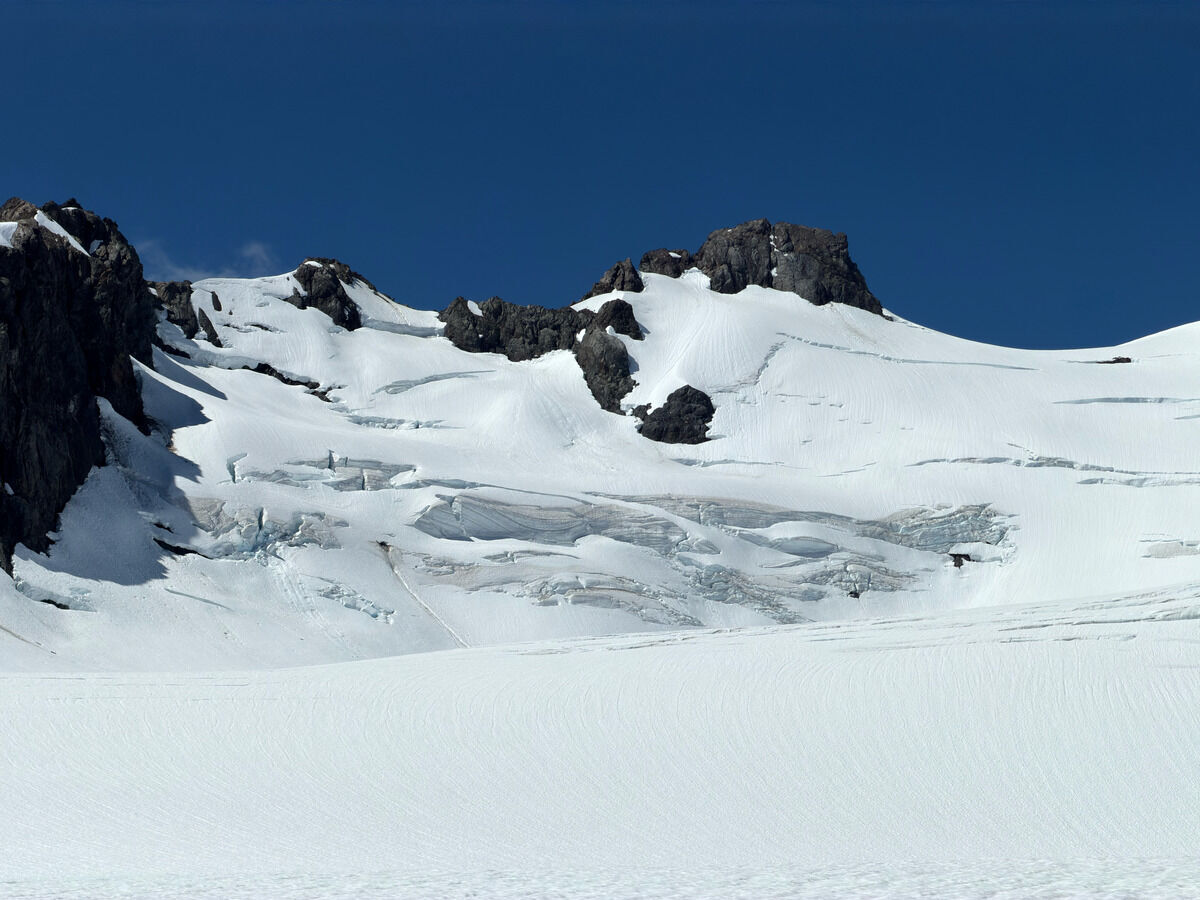 Athena
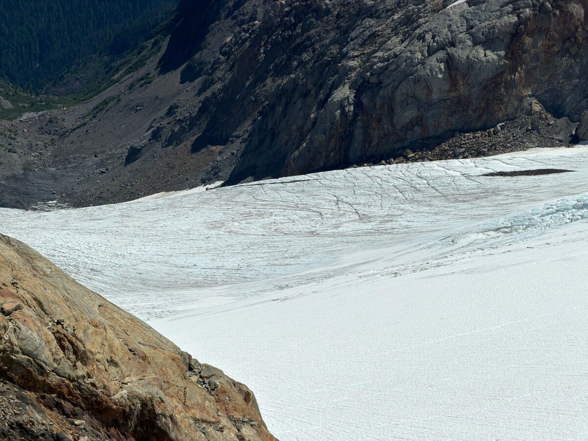
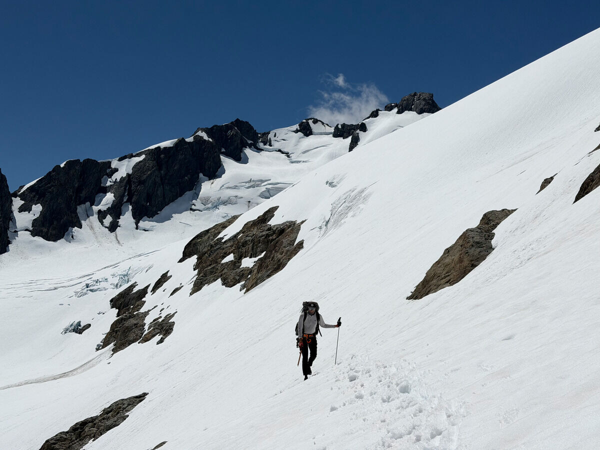
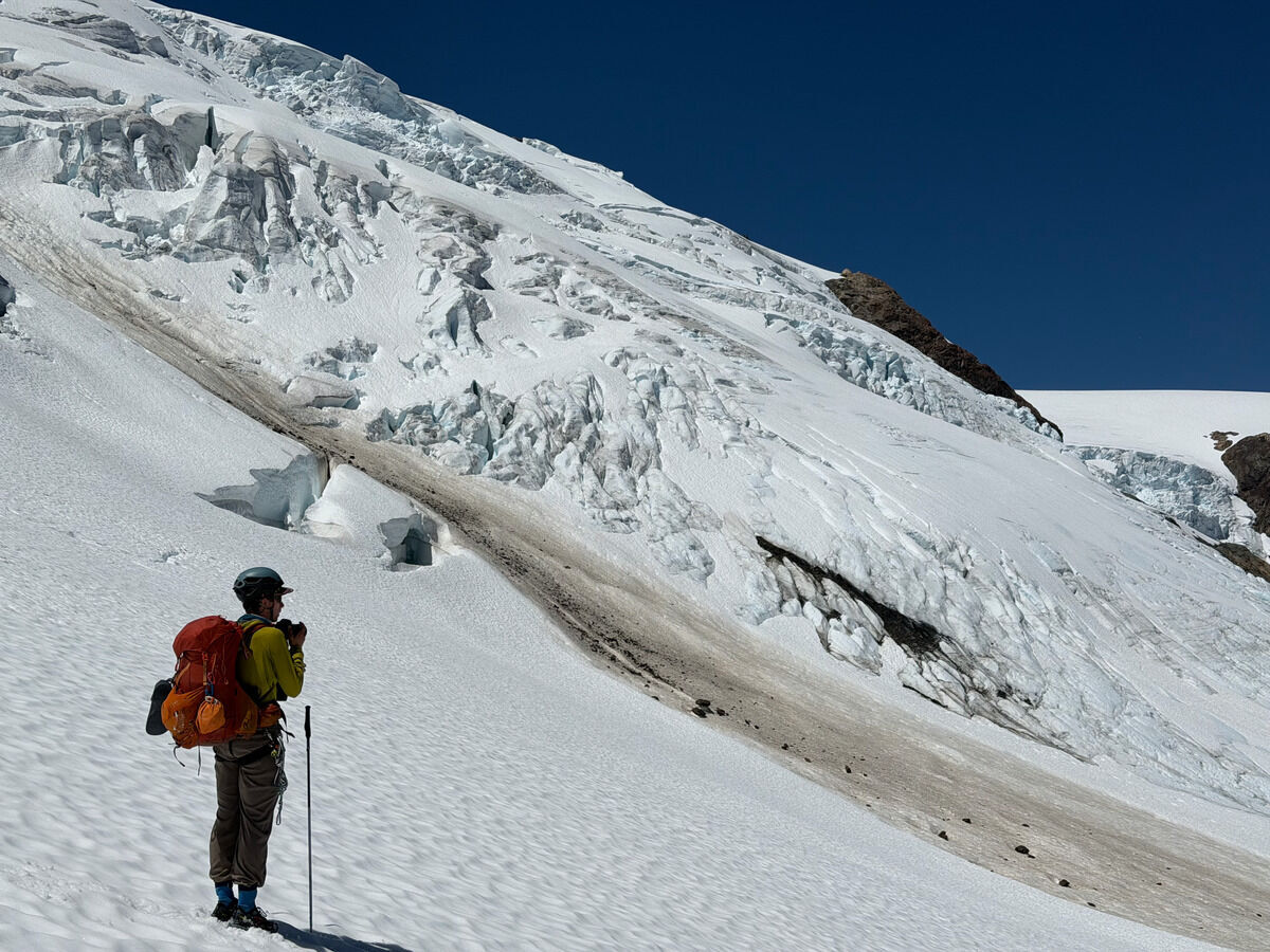 Now crossing over to the Blue Glacier
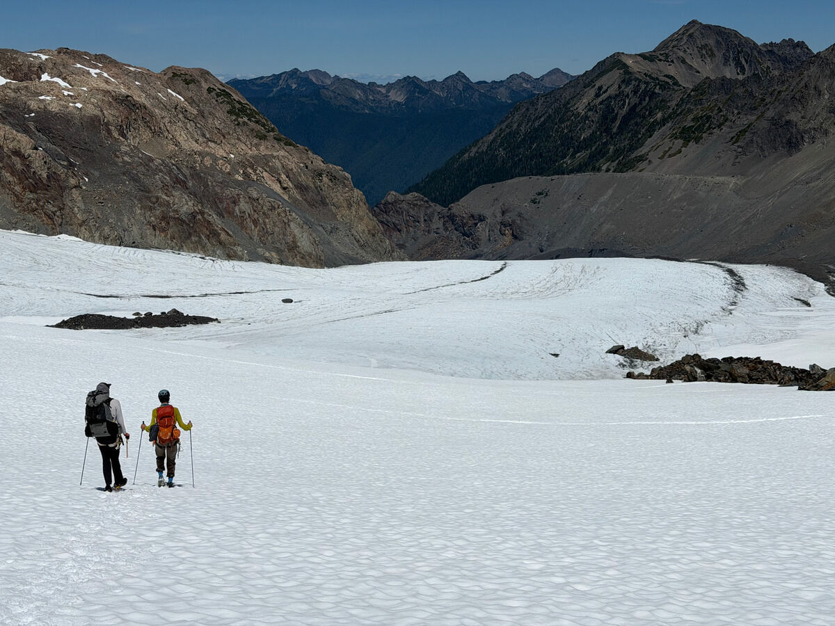
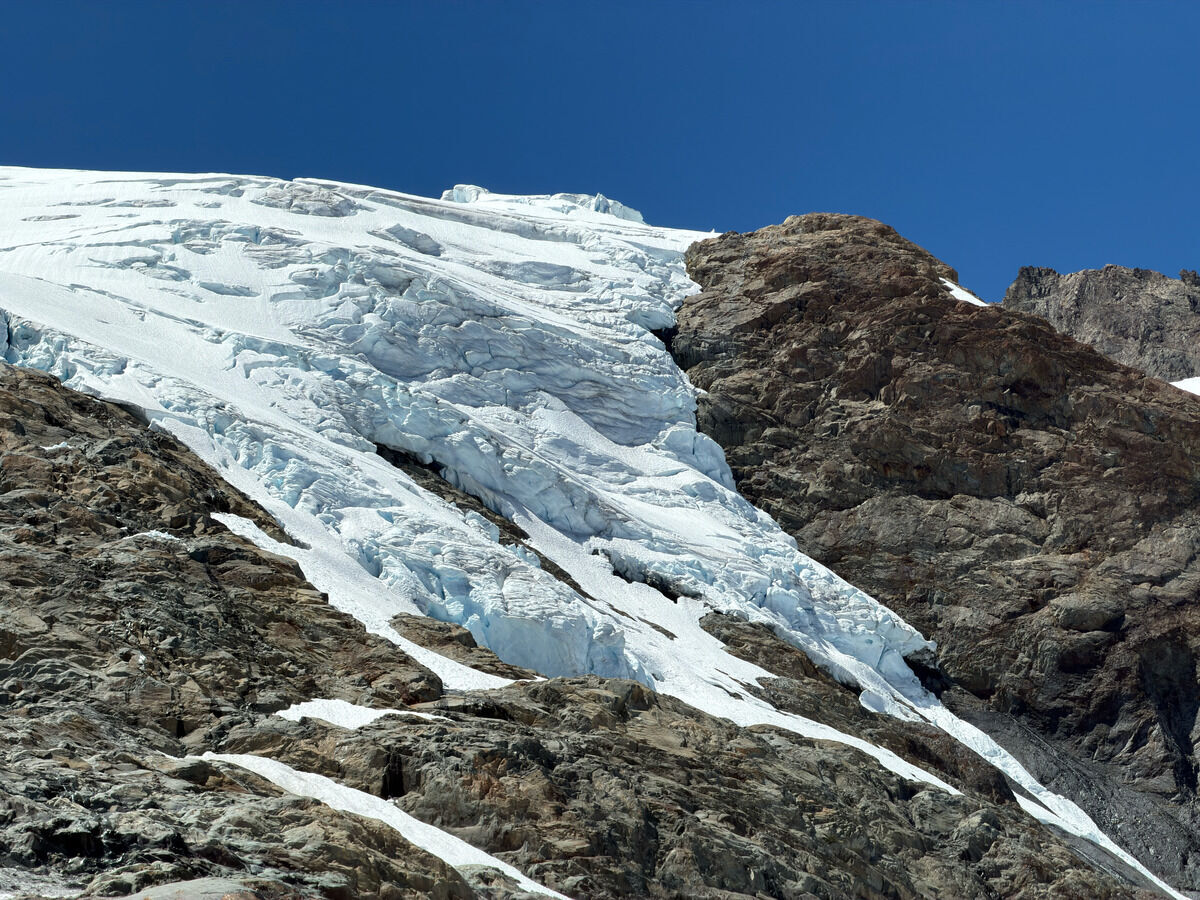
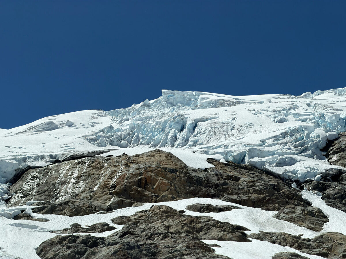 Enjoying these massive looming seracs
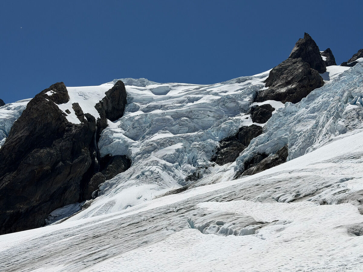
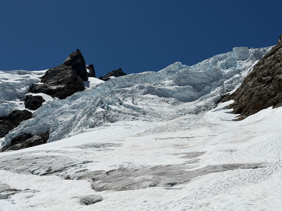
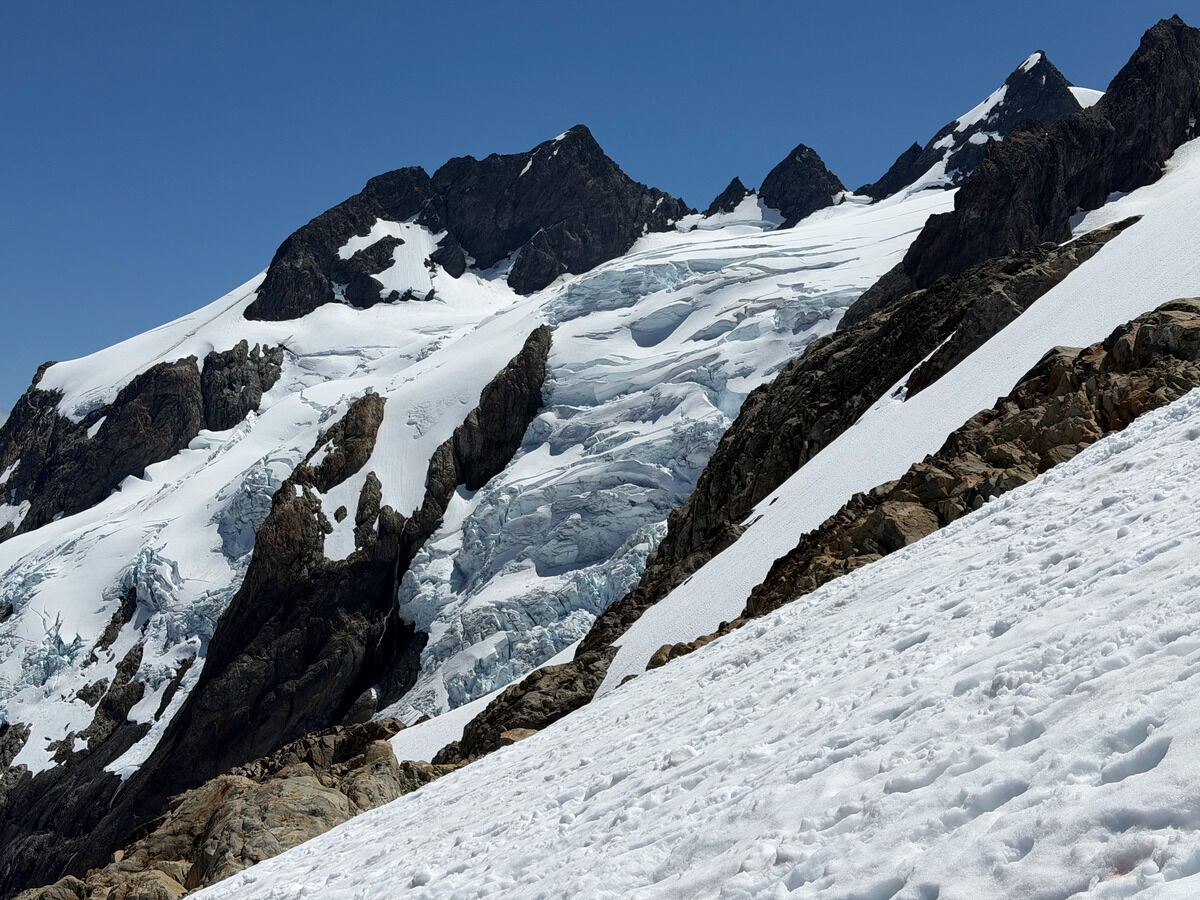 We split with Wyatt who wanted to climb Mercury/Matthias while we went up to climb Olympus
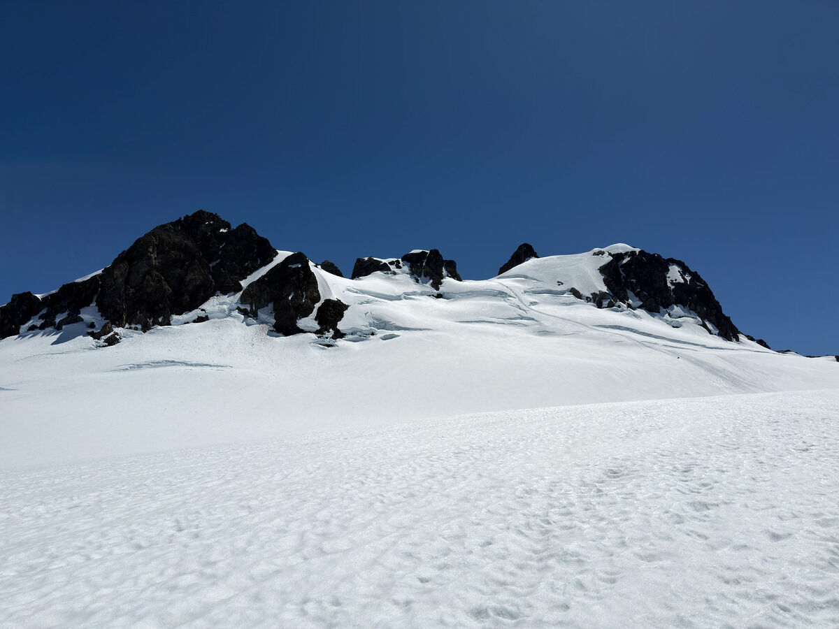
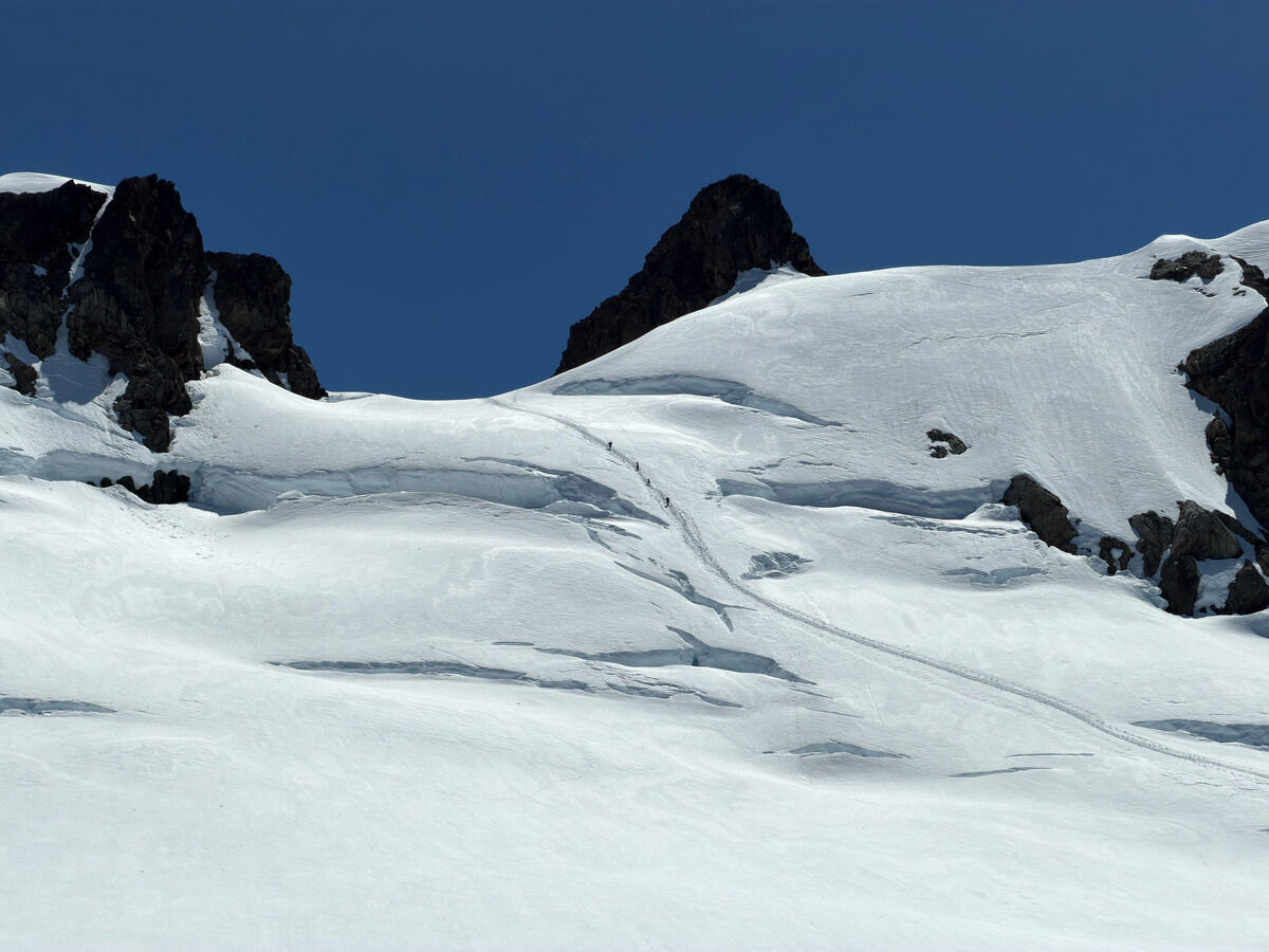 The July 4th route, which was still in July 5th
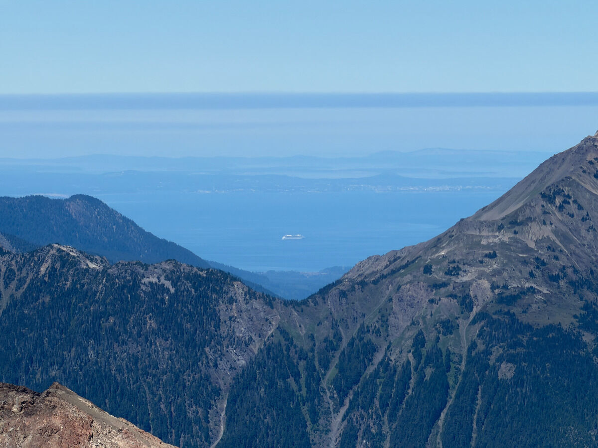 Ferry shot
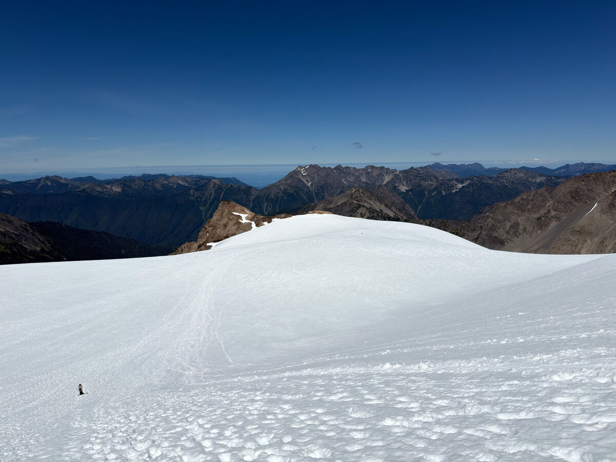 We had to make the long walk across the Snow Dome
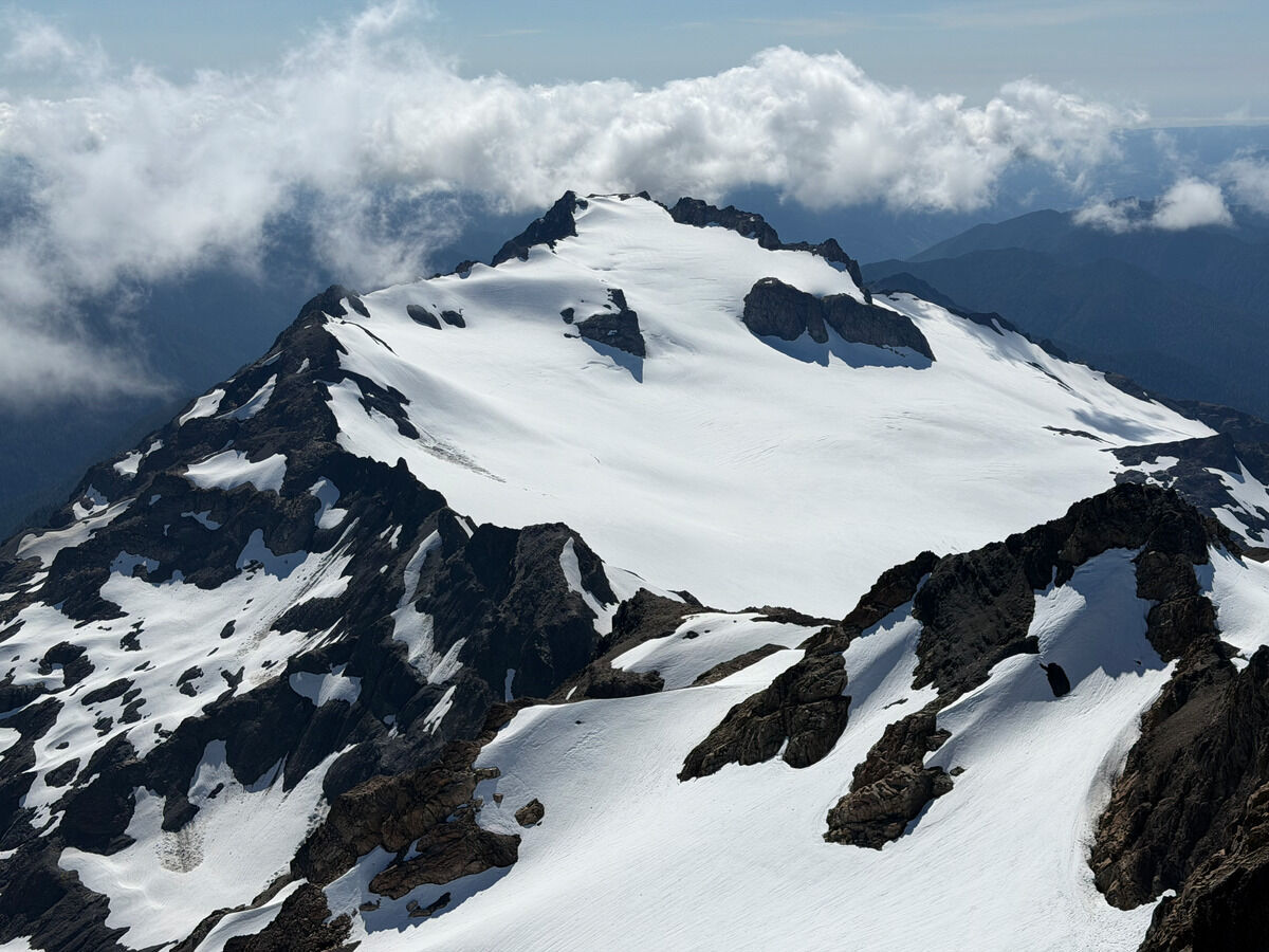 Forgot to take pics of the summit block because I was too focused on leading the climb, but summit views towards Mount Tom
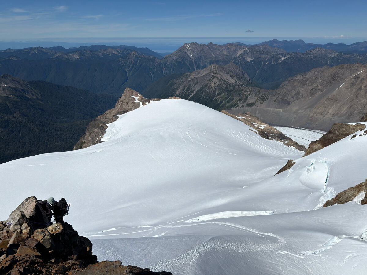 Down Snow Dome and the toe of the Blue Glacier
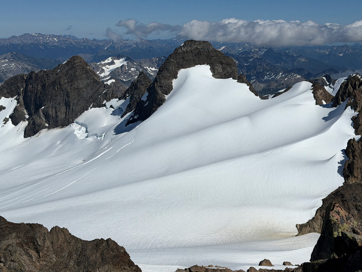 The other adjacent Olympus peaks
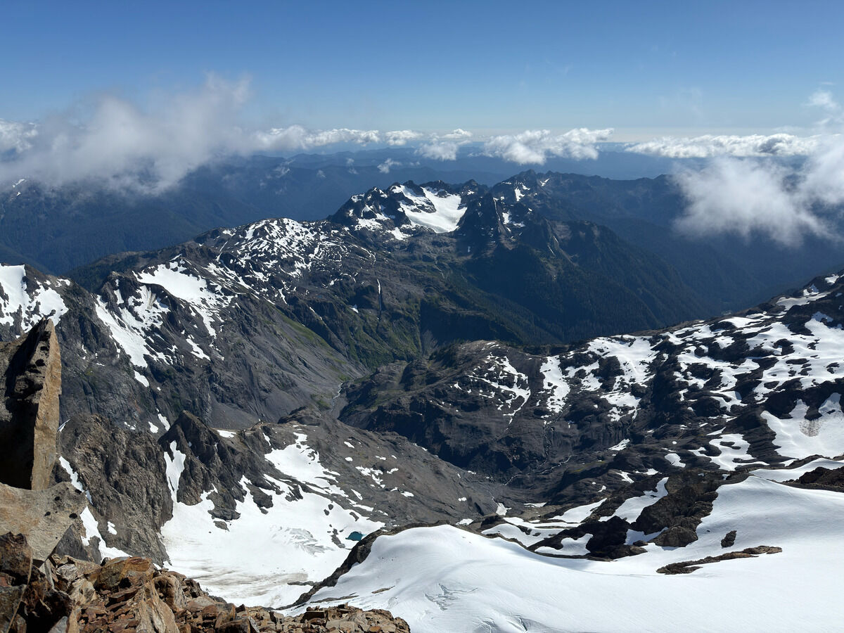
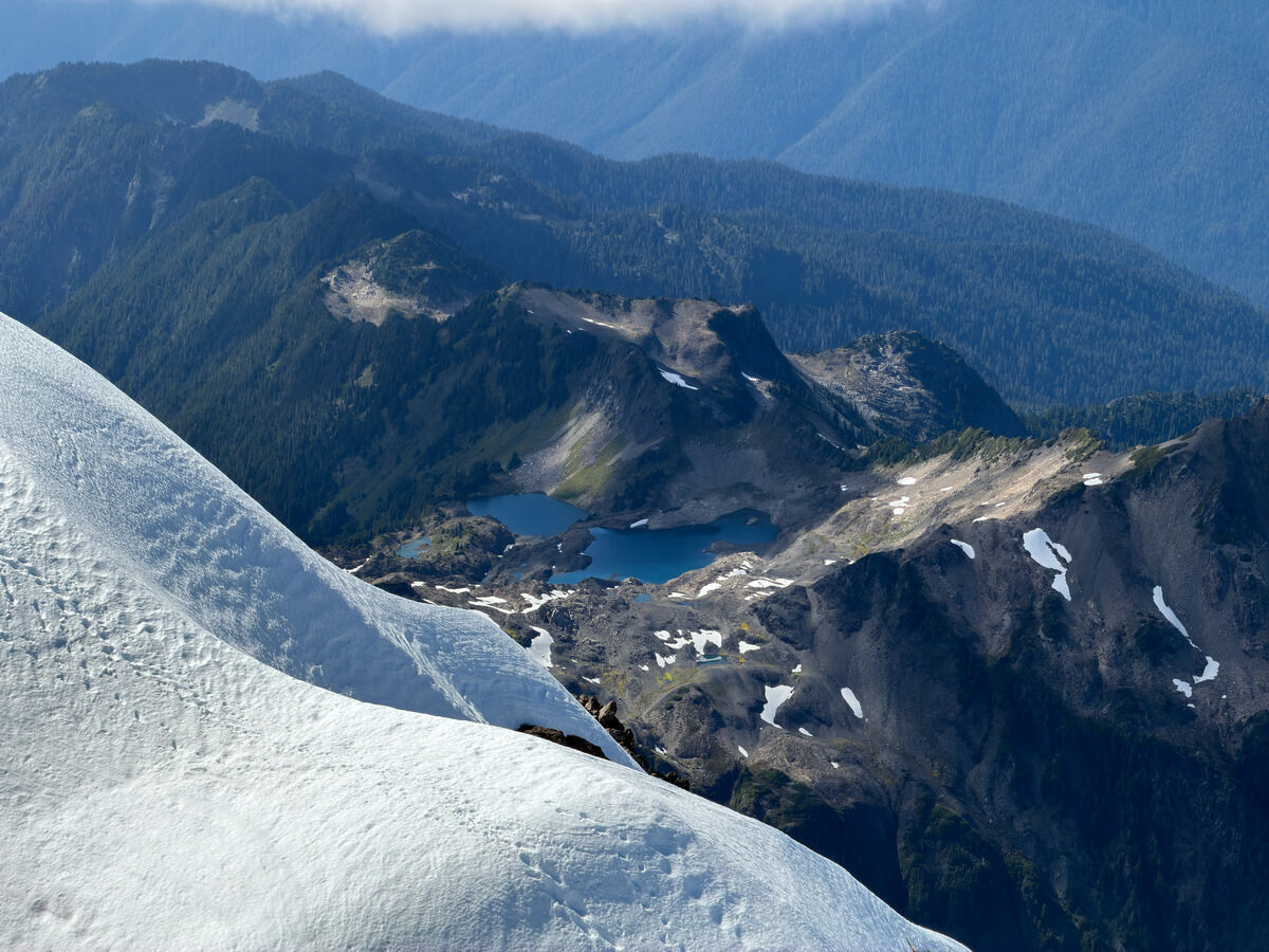
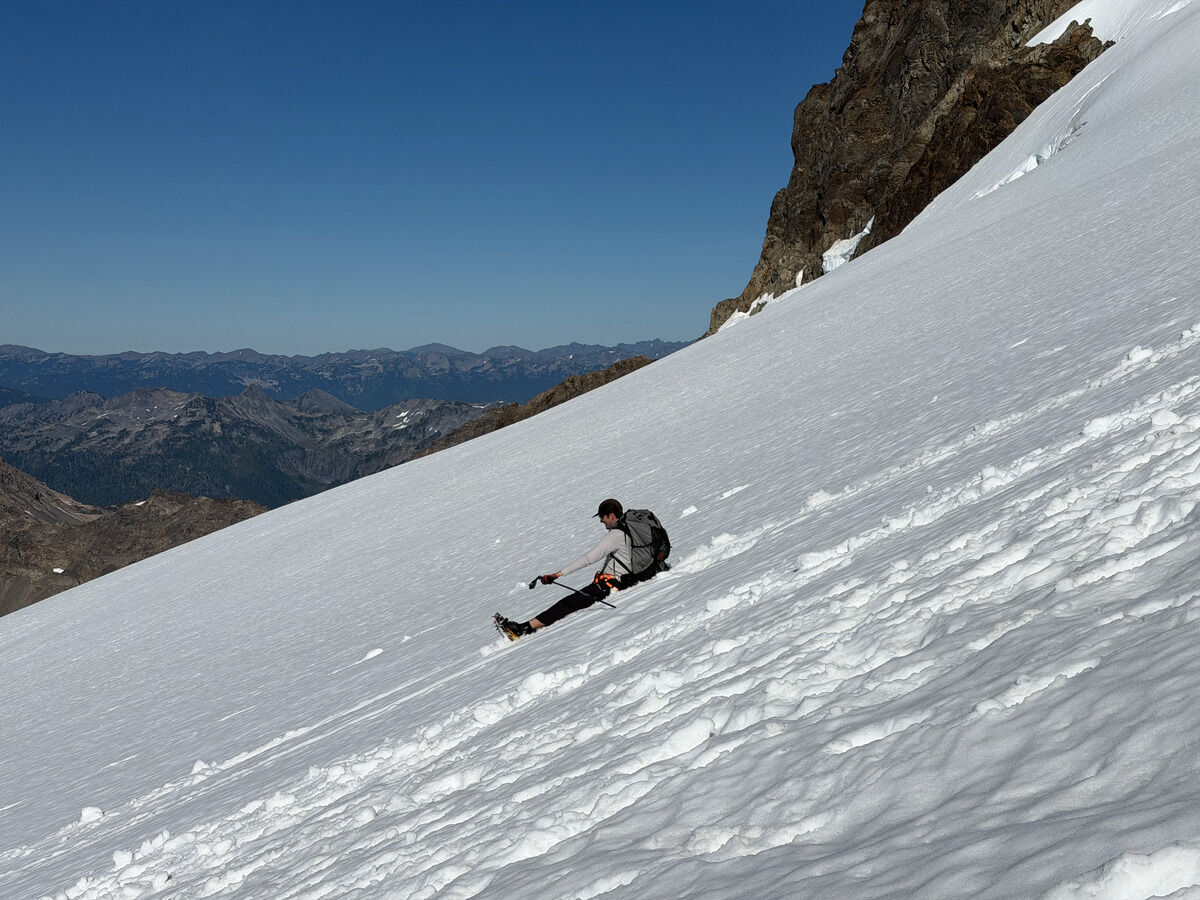
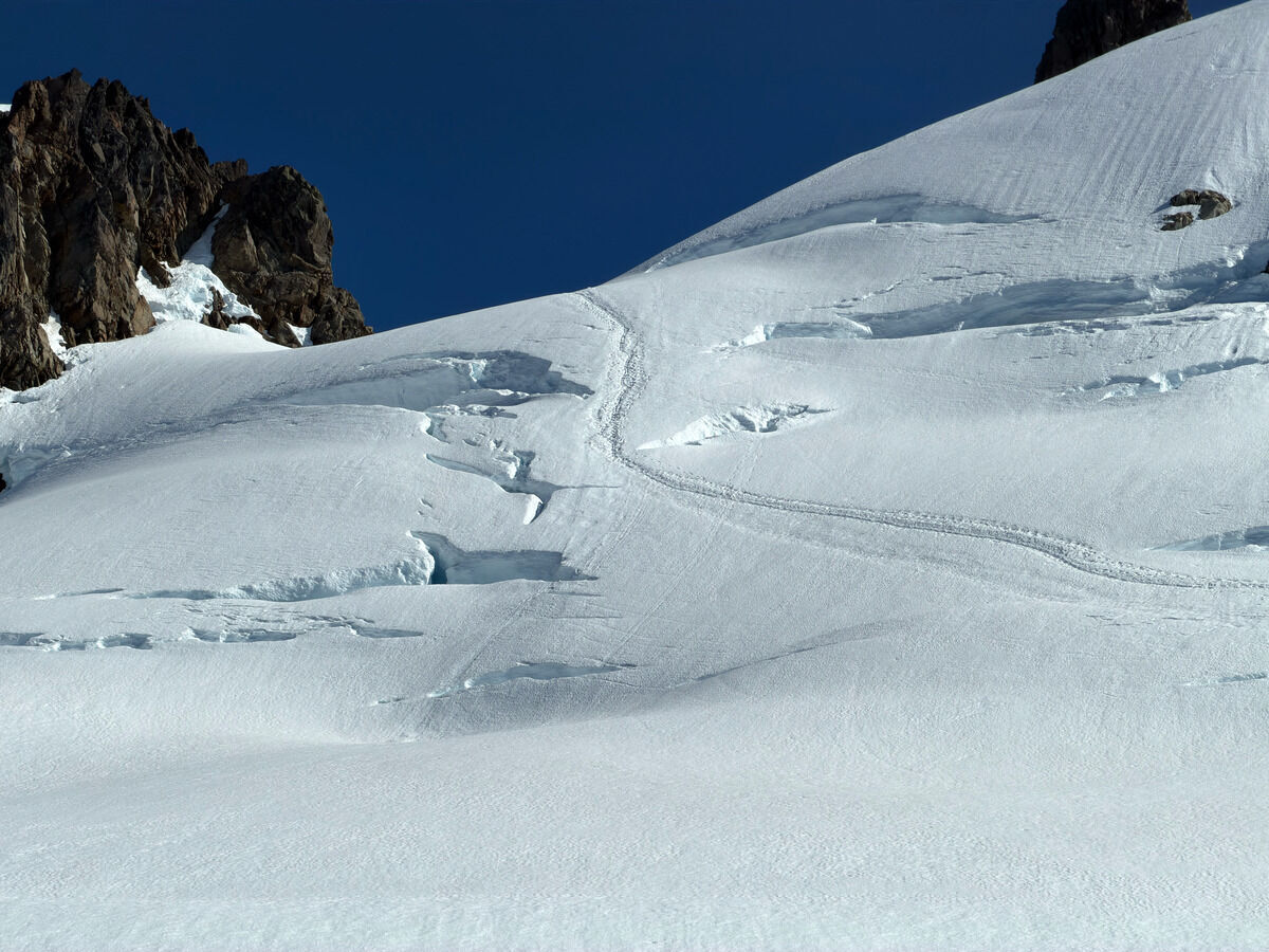
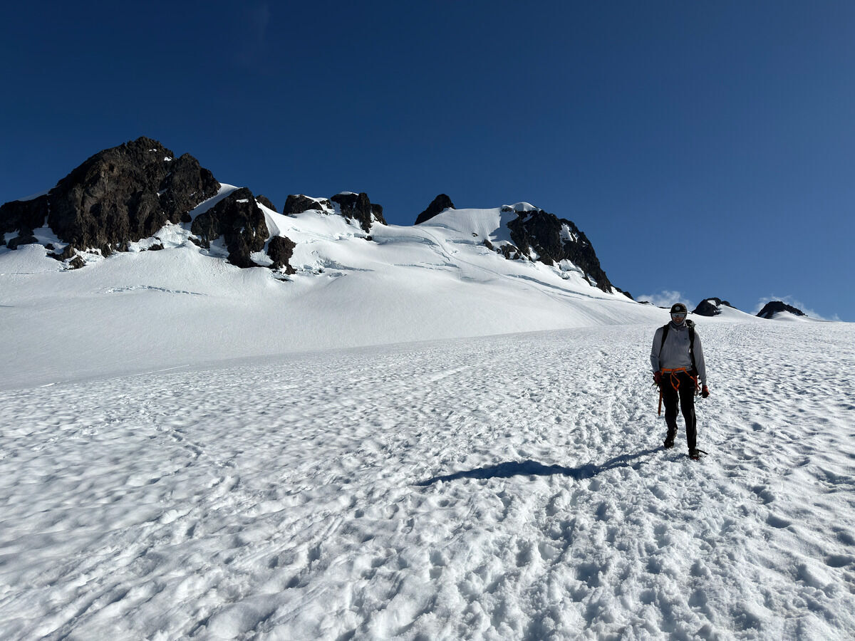
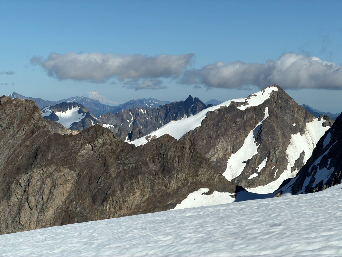 Circe and Rainier
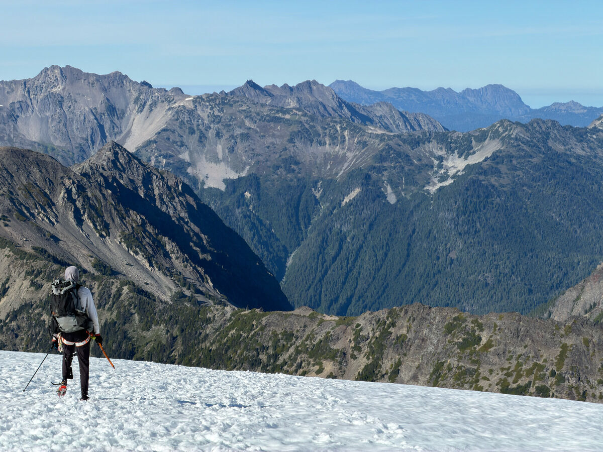
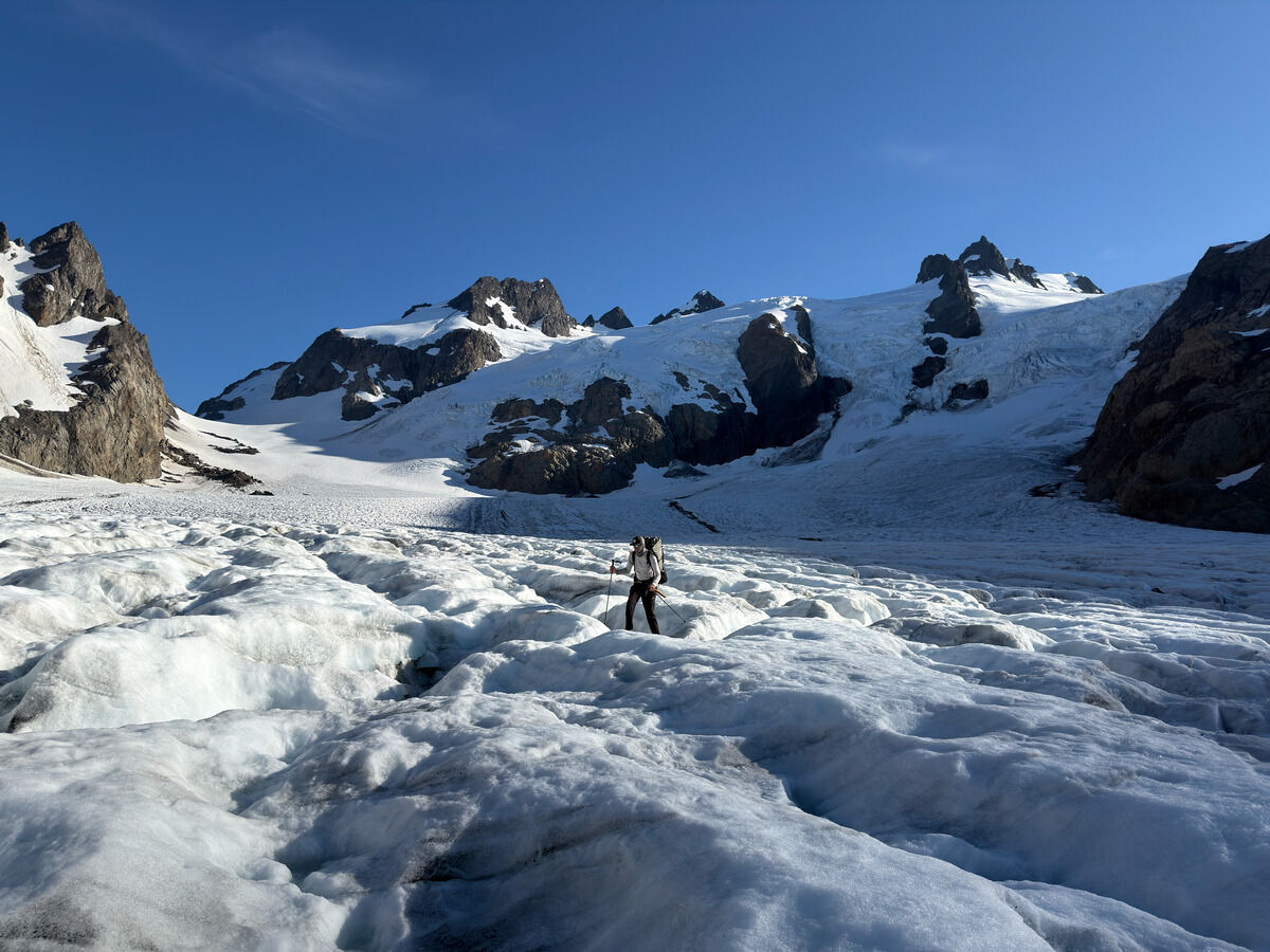 I’ve never walked so much on blue ice before
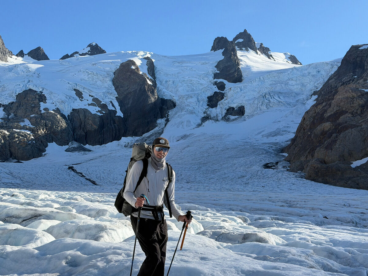
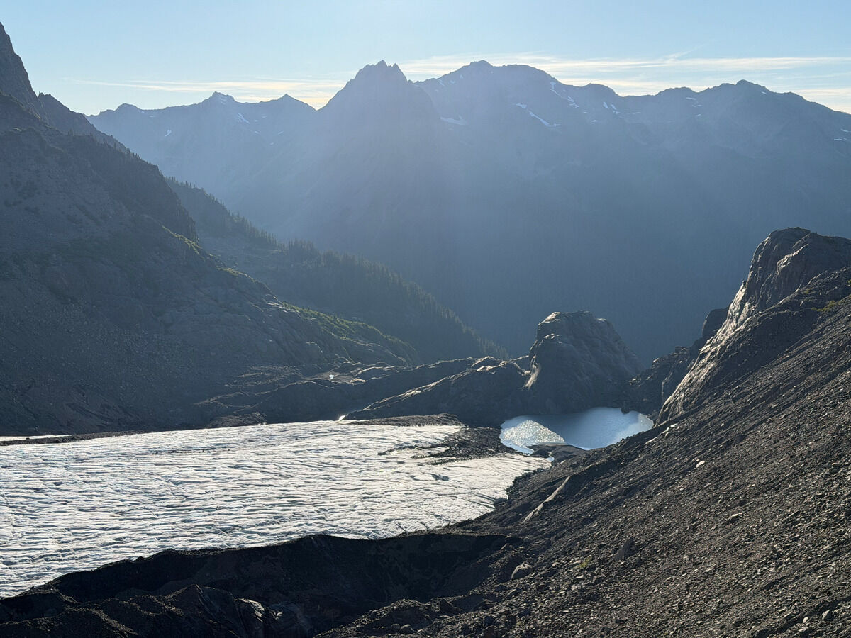 The very end of the Blue Glacier, quite a sad sight
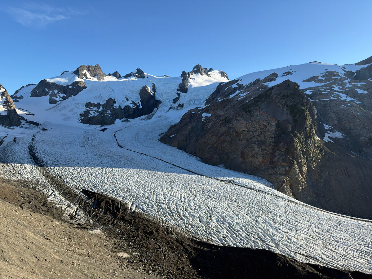 It’s my first time coming here, and even I could tell from the pictures I’ve seen not too long ago that there has been a huge amount of melting on the glaciers
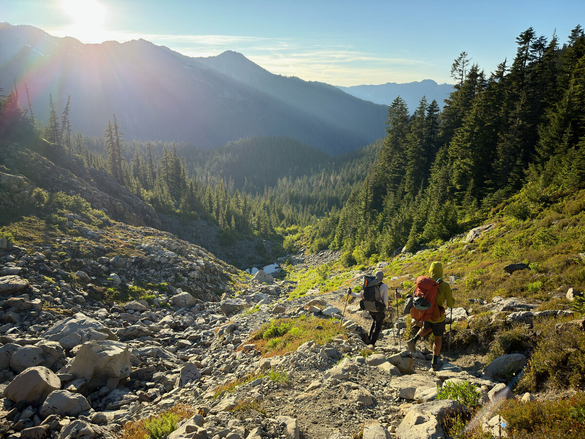 Down to Glacier Meadows for the night
Day 4: Glacier Meadows → Sol Duc Trailhead
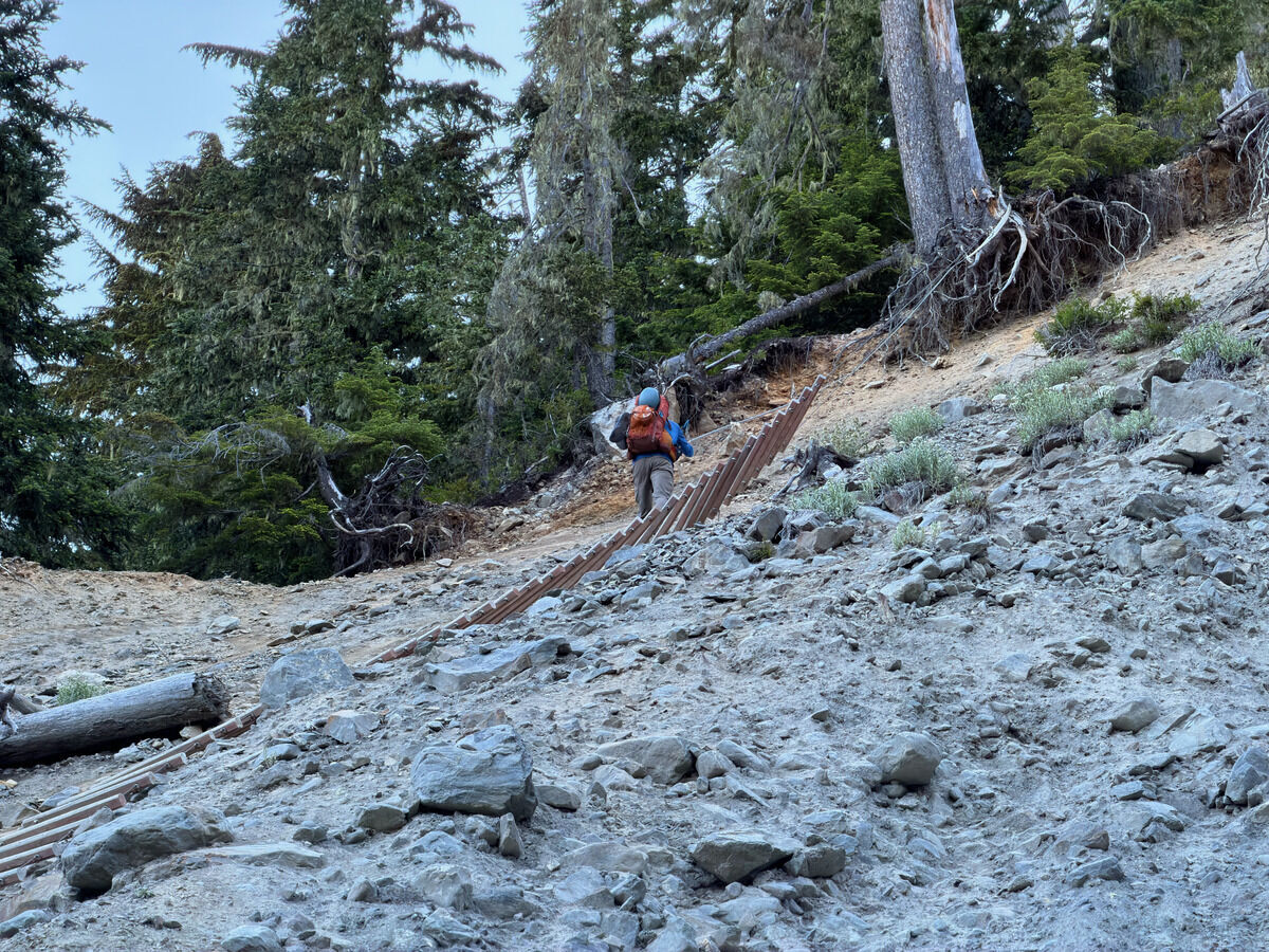 I believe the ladder actually used to touch the ground not too many years ago
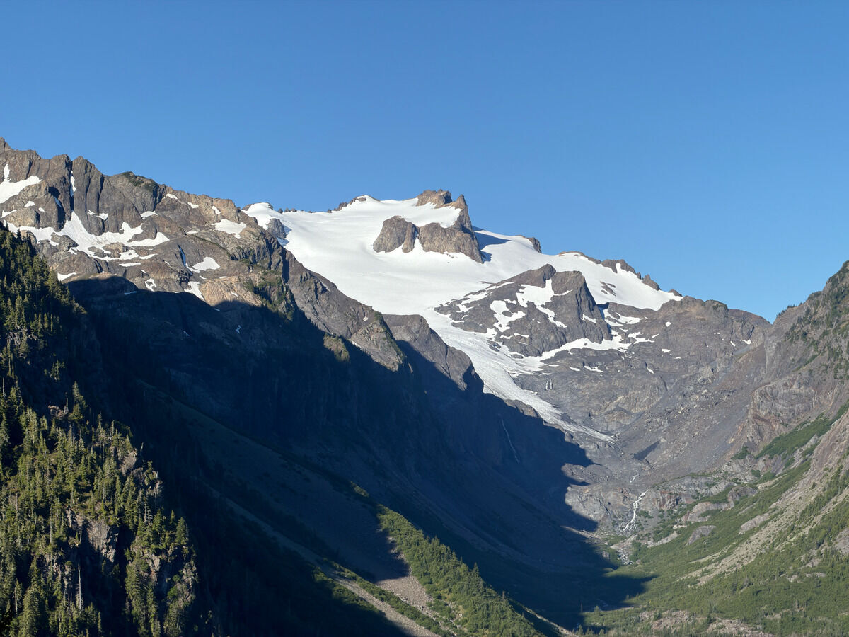 Mount Tom
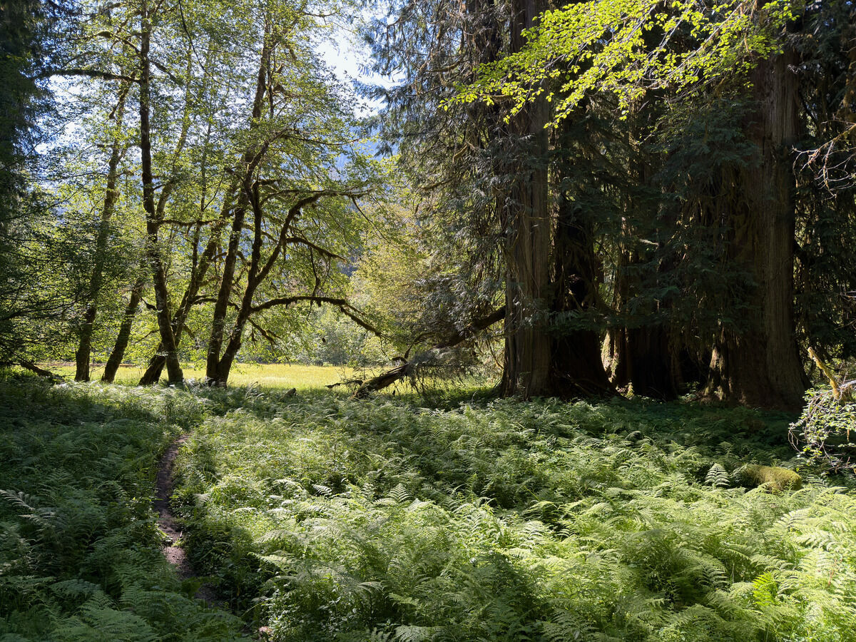
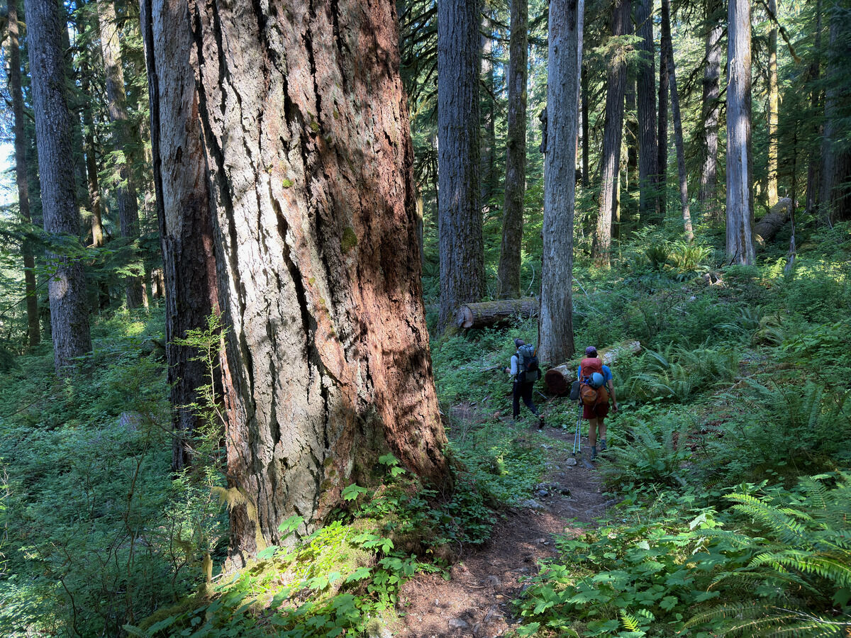 Big trees
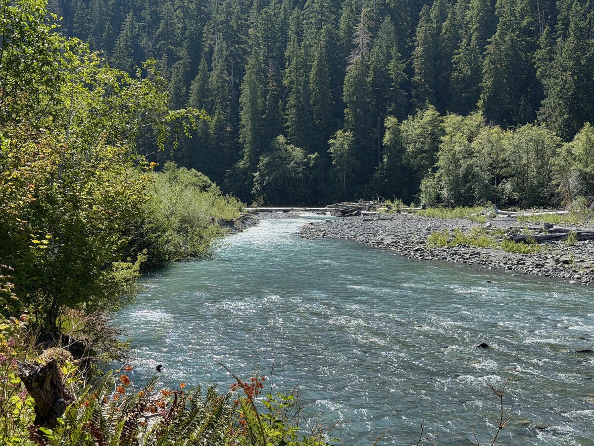
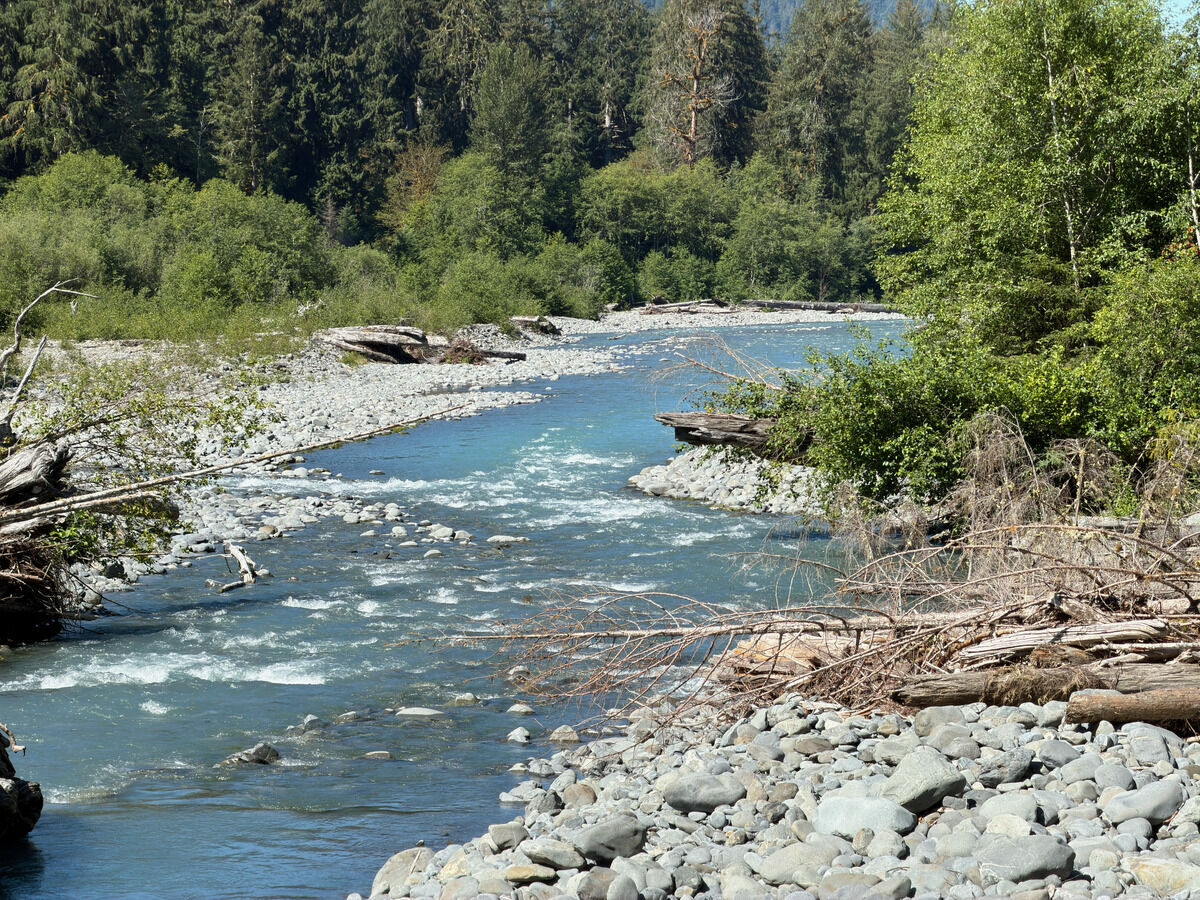
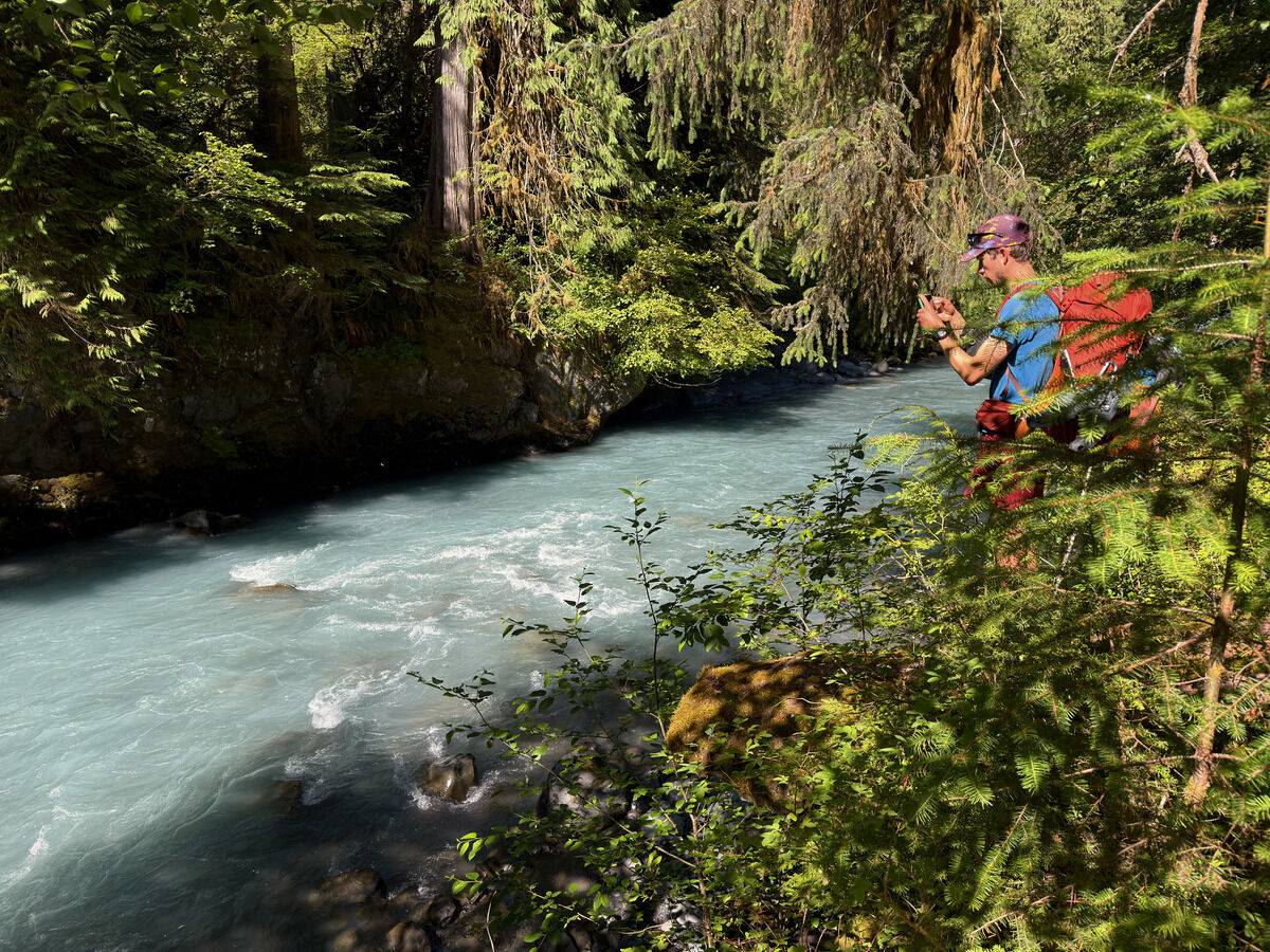 Following the Hoh River
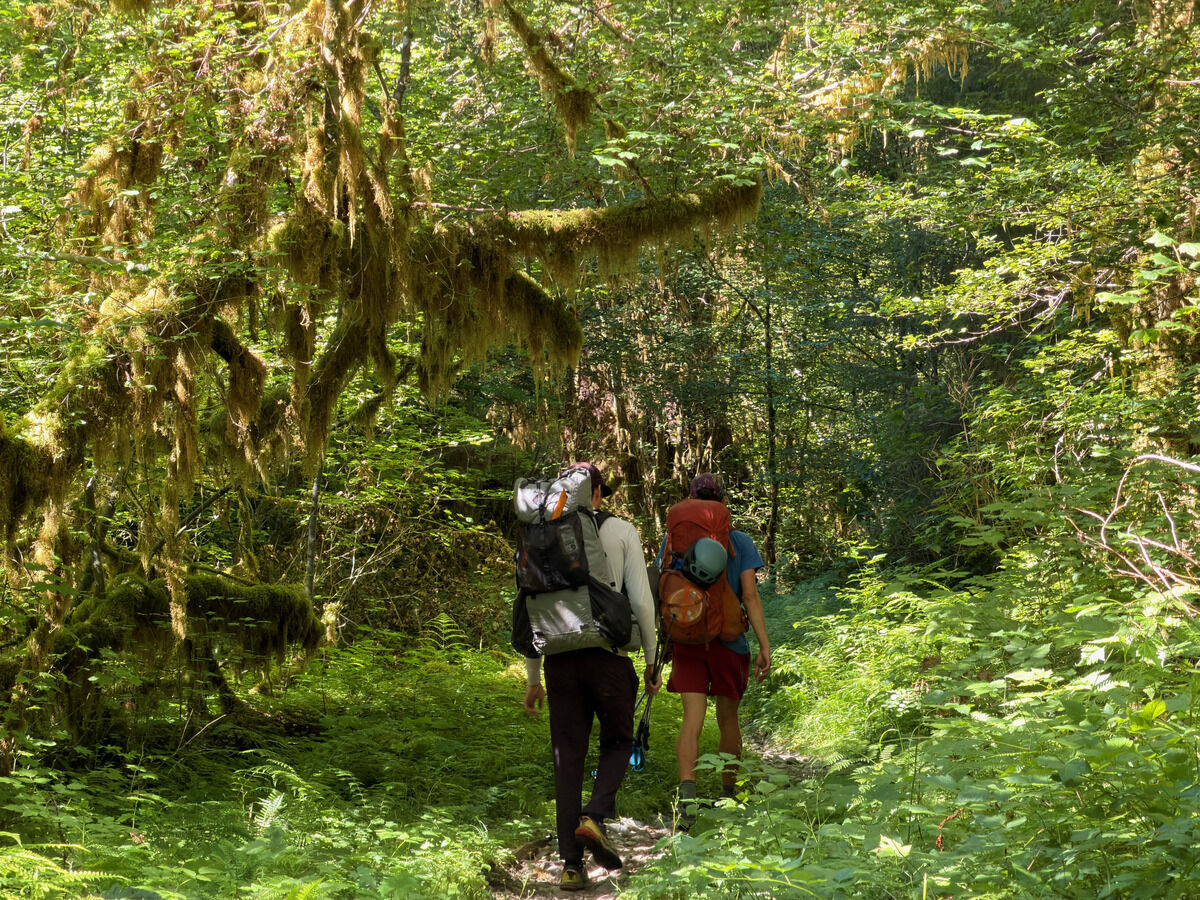
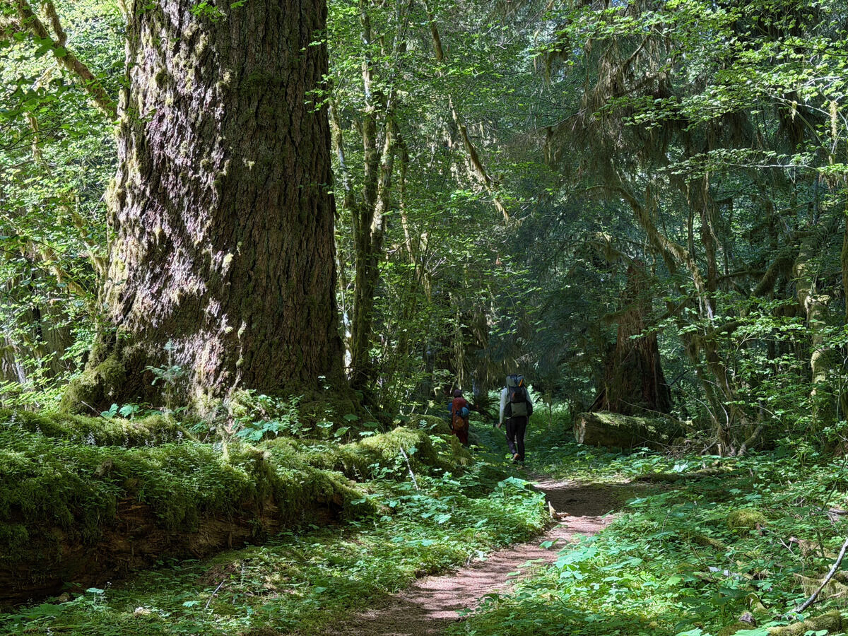
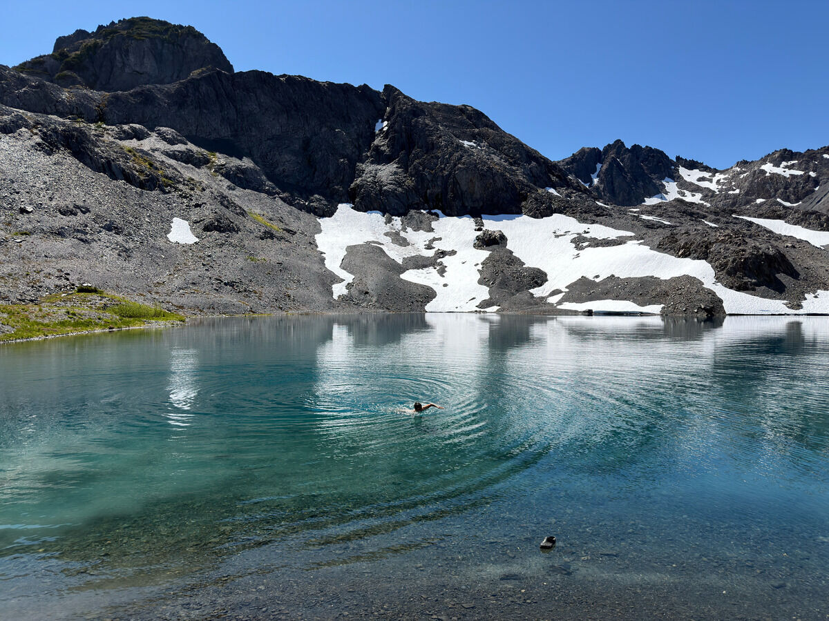
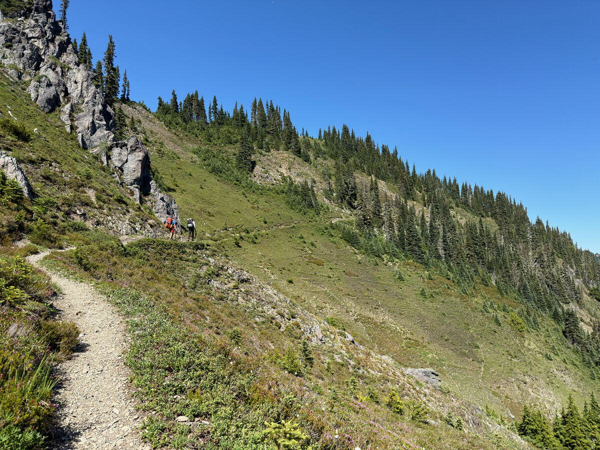
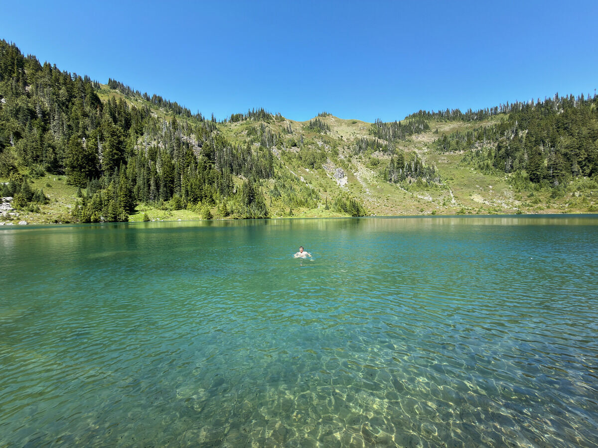 A quick dip at Hoh Lake following a final brutal climb over a rough trail
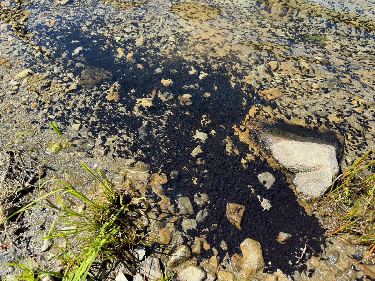 These tadpoles freaked me out while I was swimming
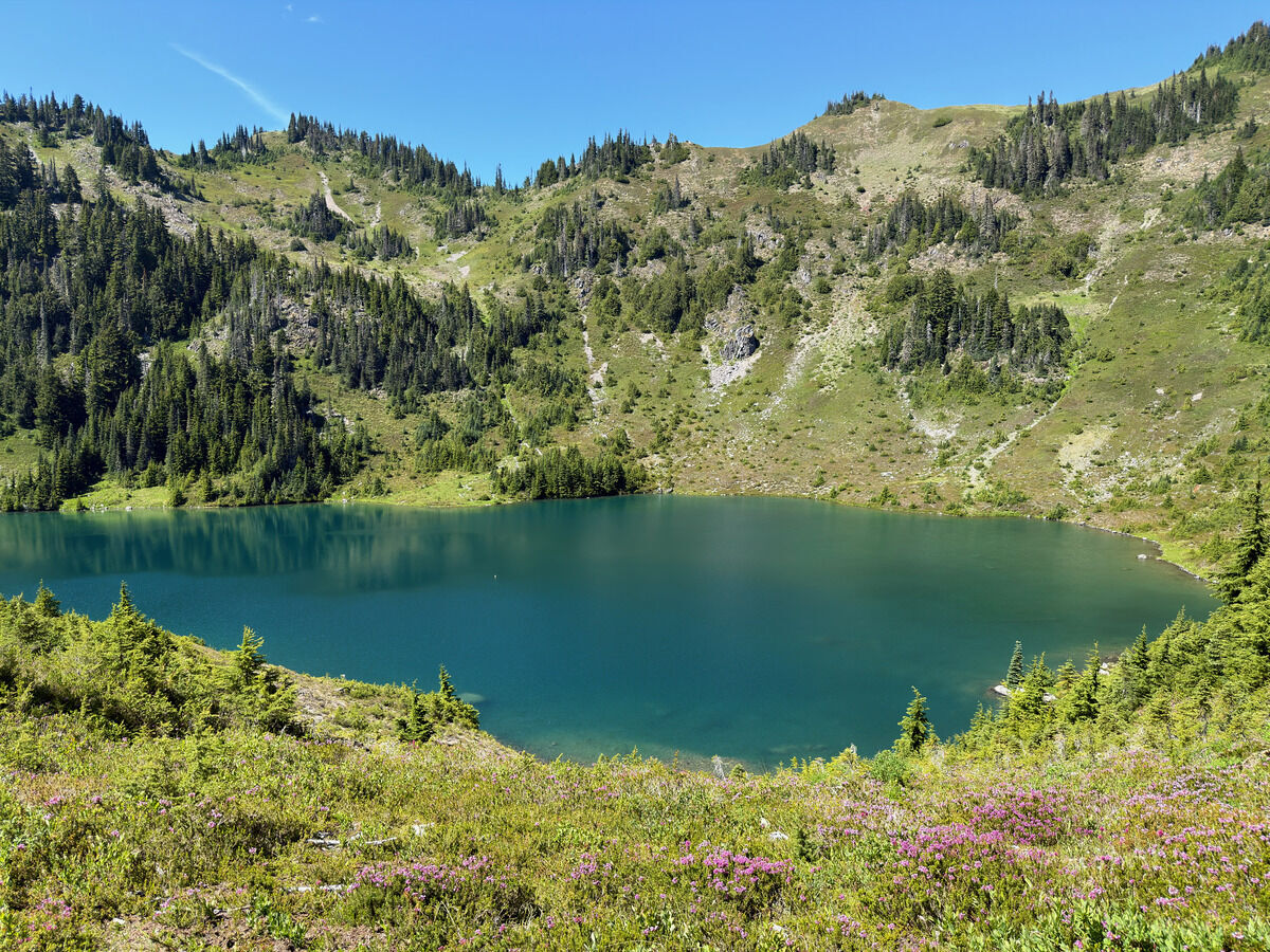
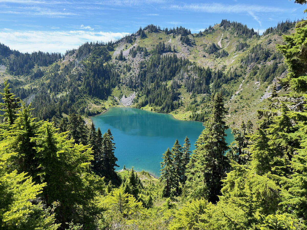
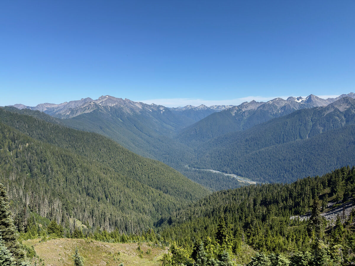 Cool to see some of our traverse from Carrie onwards, vaguely tracing the ridgeline
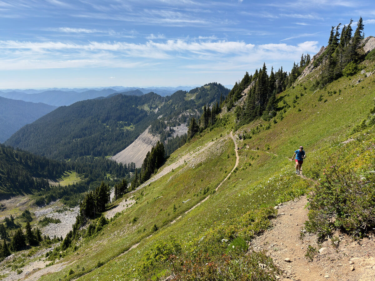 Up once more to Bogachiel Peak
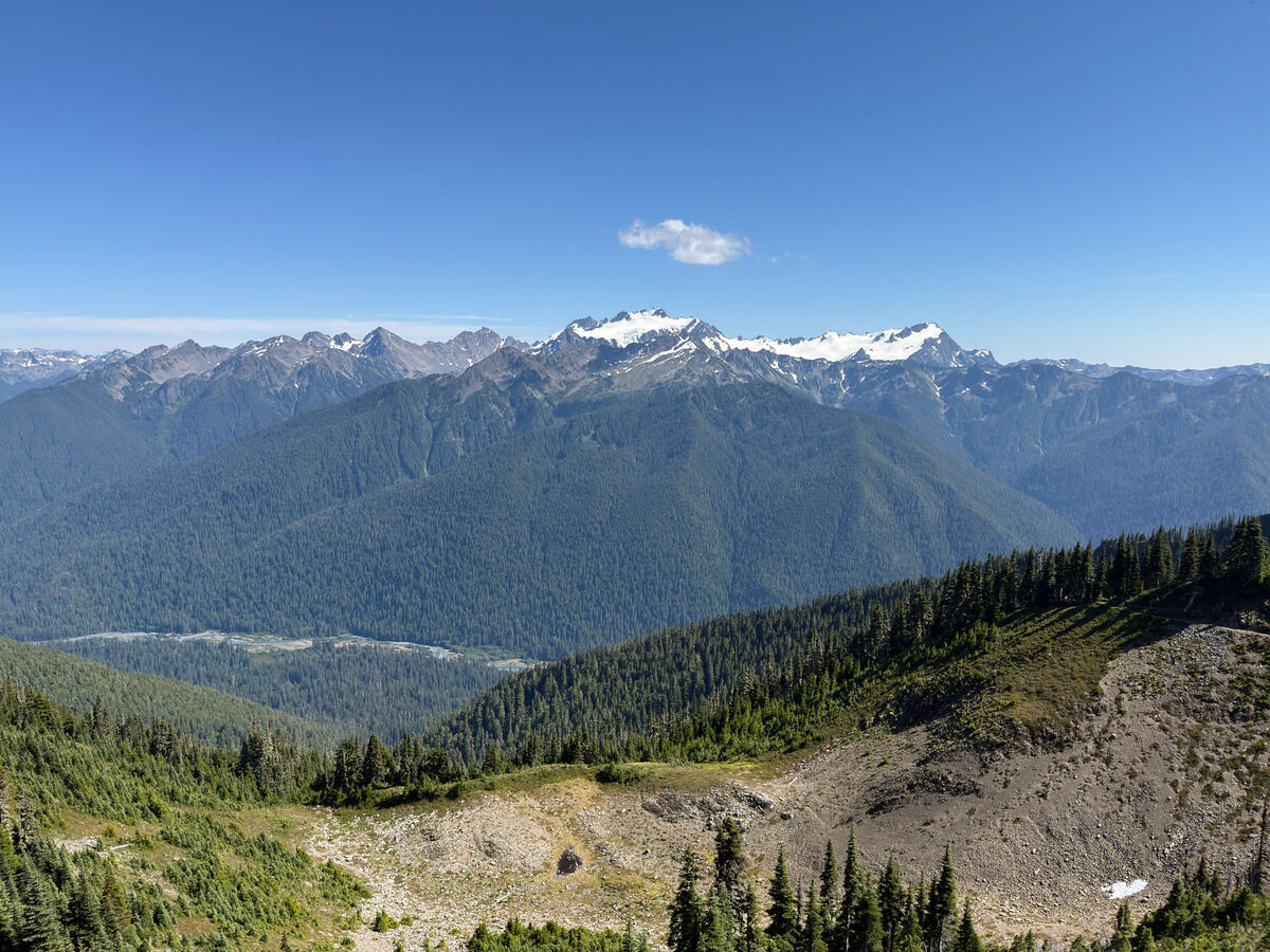 Pretty good views of Olympus from High Divide
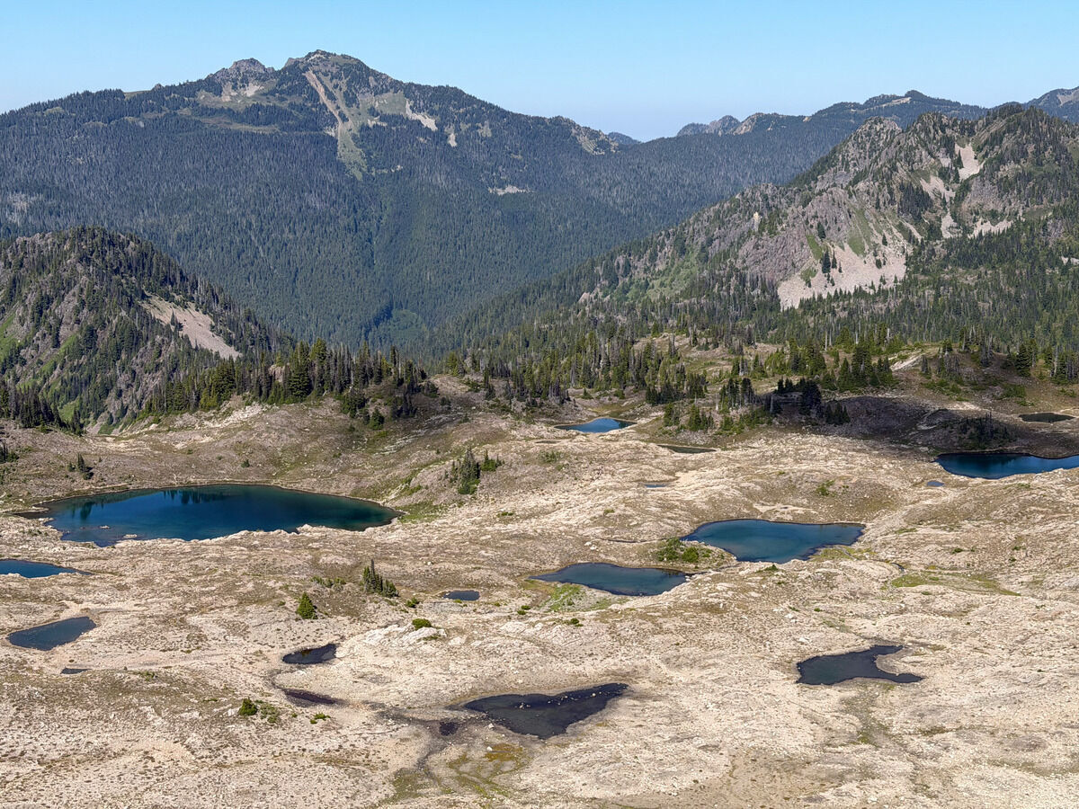 Seven Lakes Basin, looked more desolate than the image I had in my head
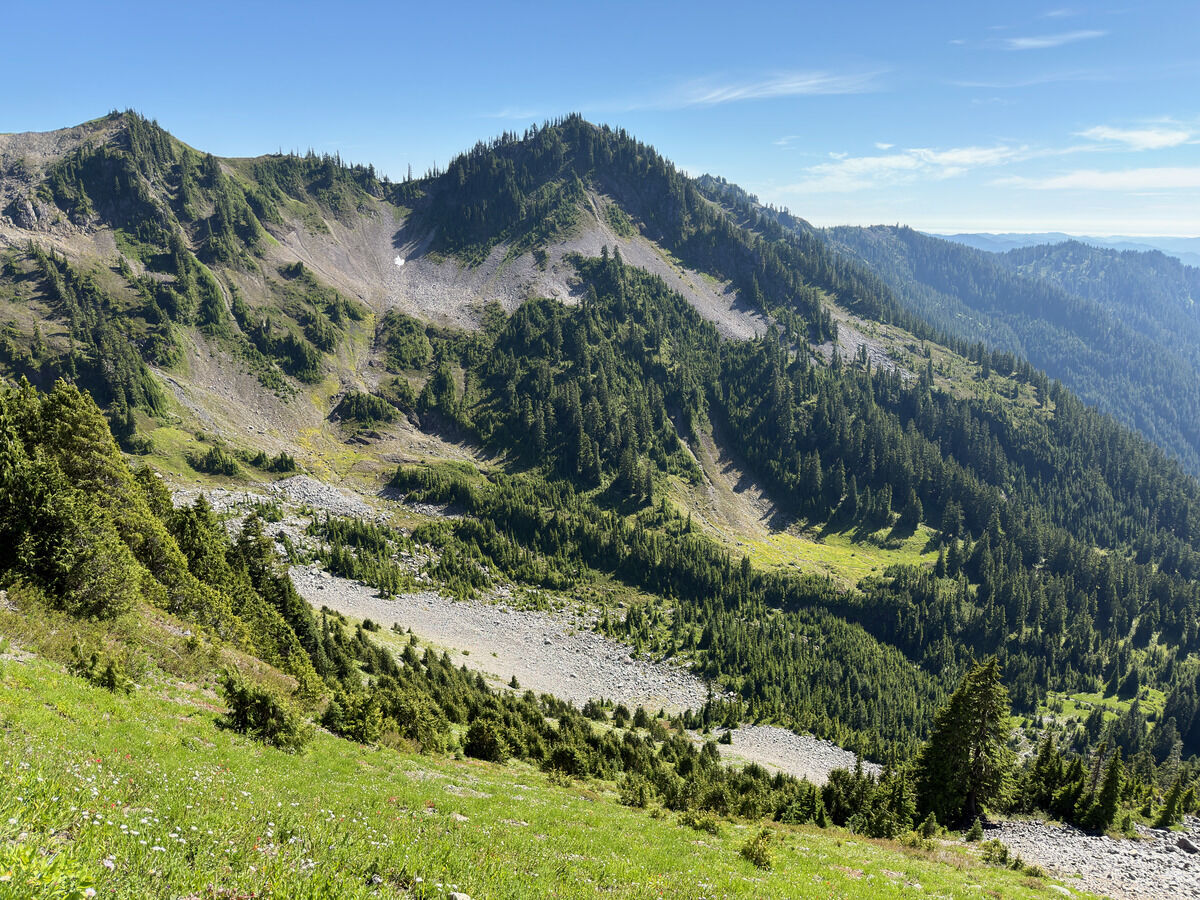
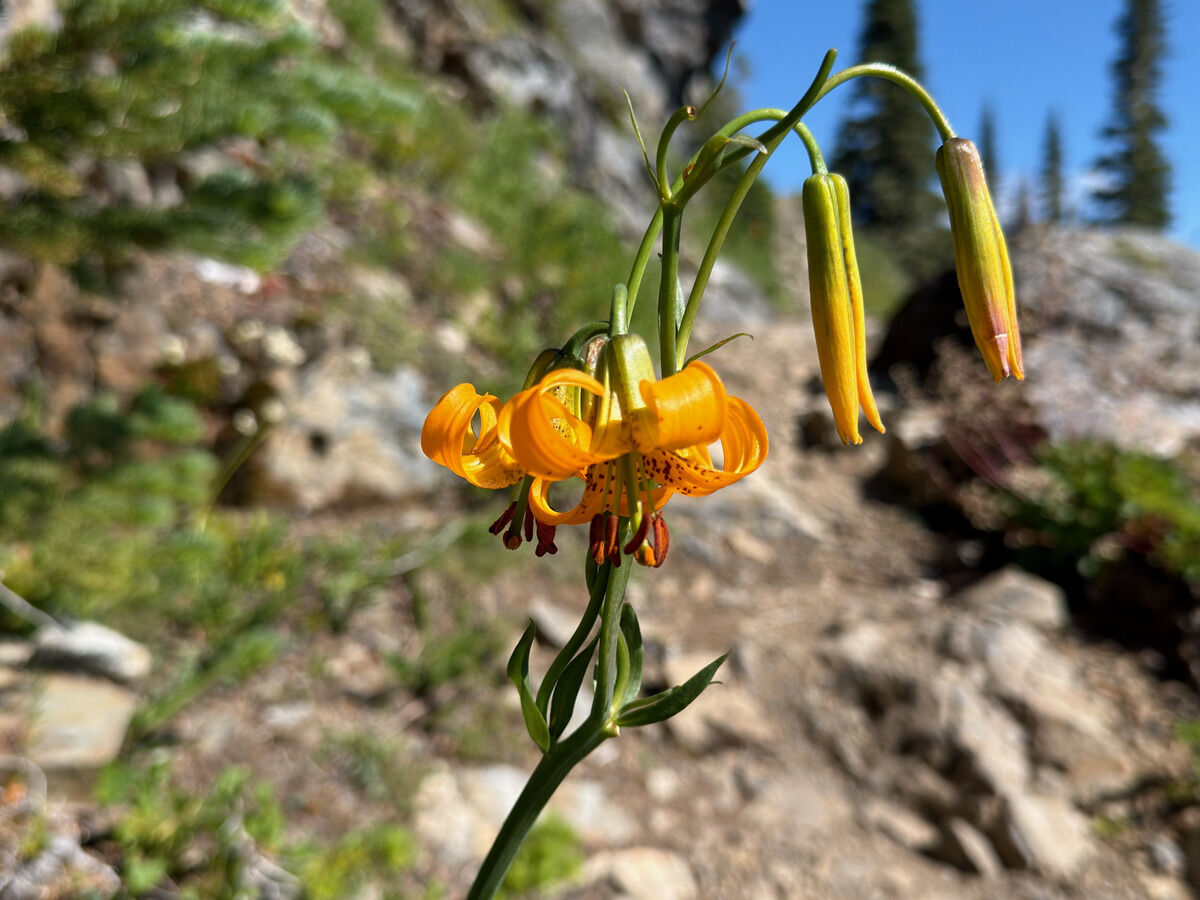
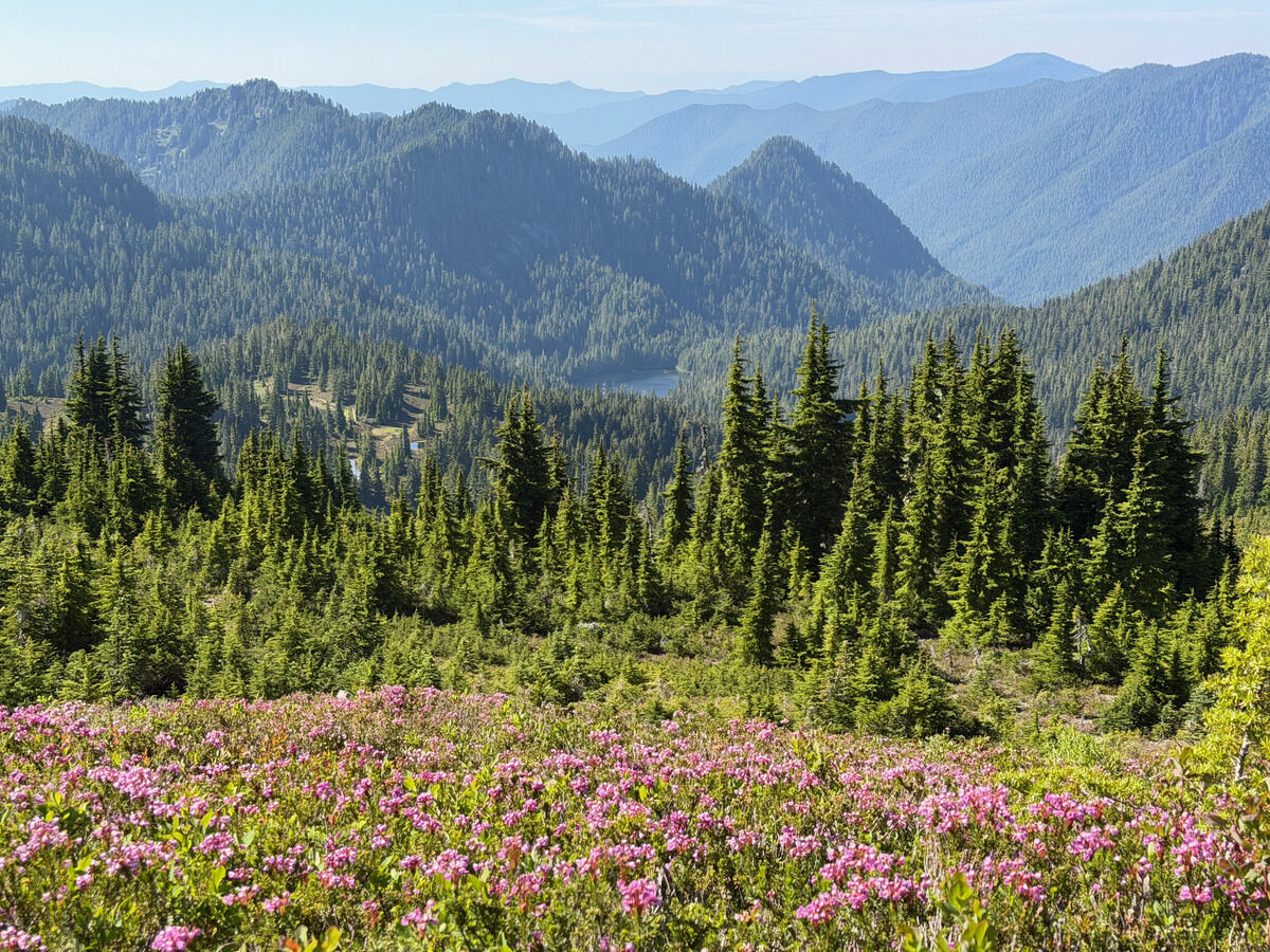
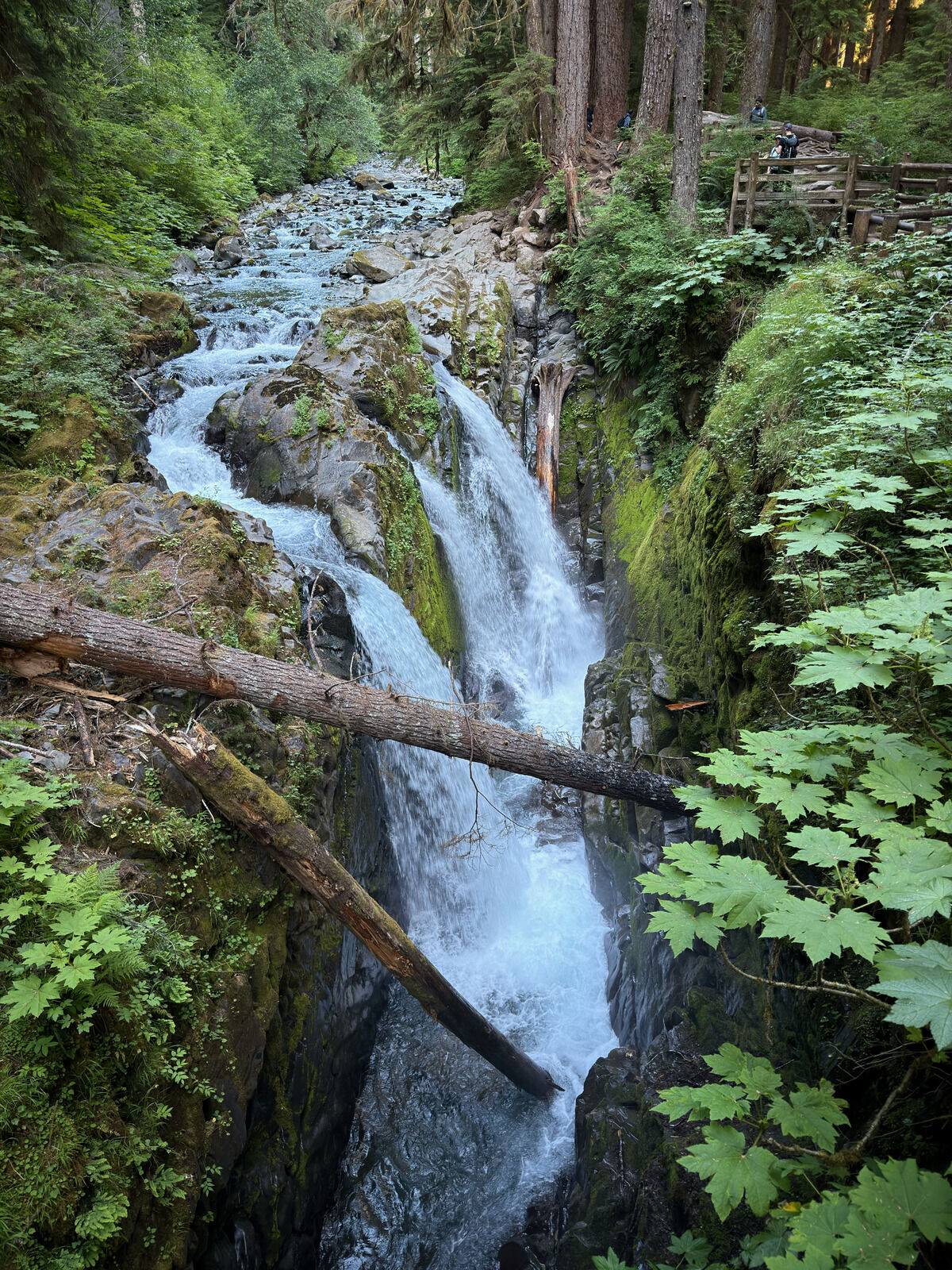 Ah that’s when you know you’re done, seeing Sol Duc Falls
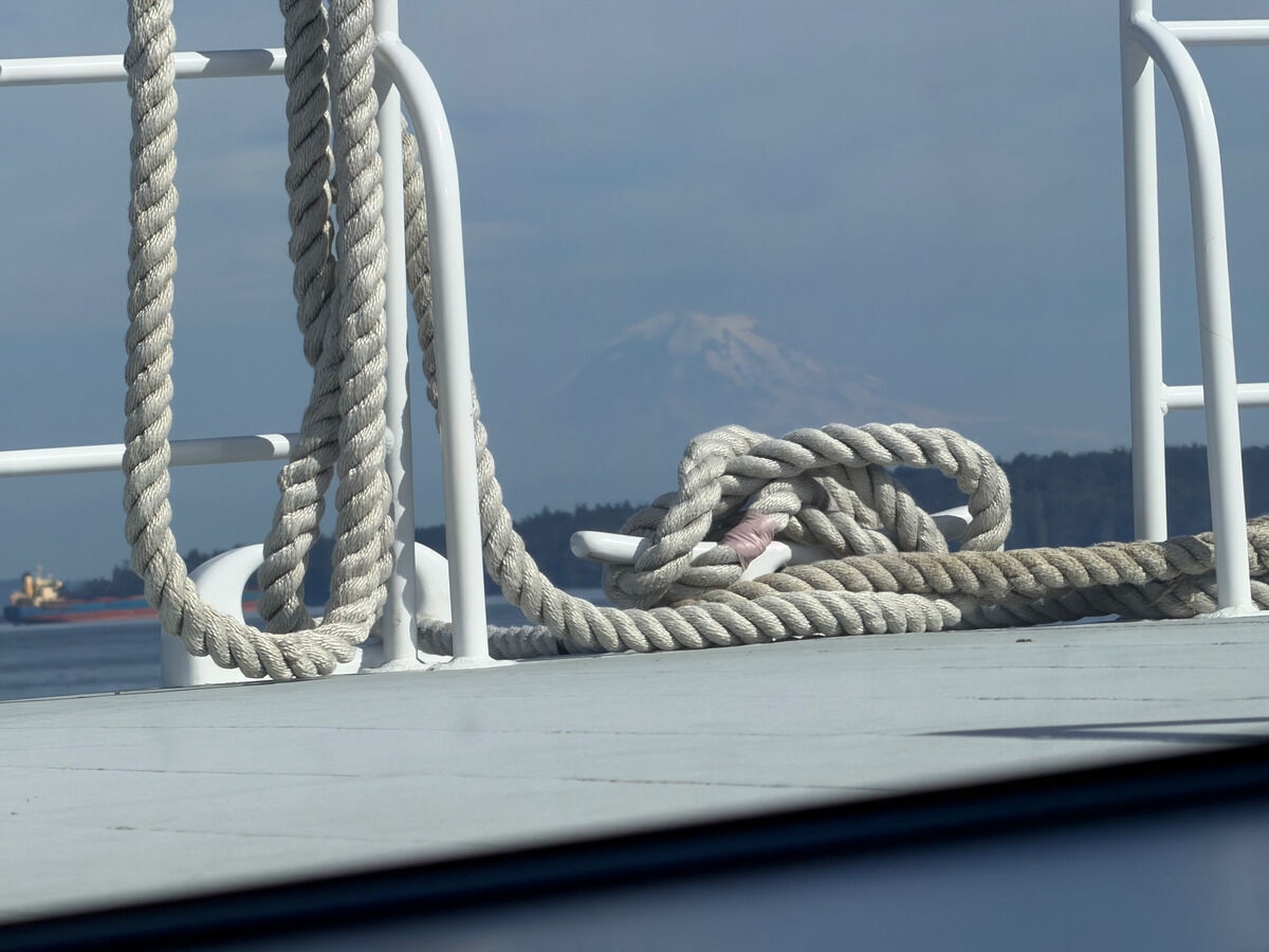 I honestly think the extra factor that made this trip so cool was walking from my house to the Link Station in Bellevue, taking the new train which just opened this March to Seattle, then taking the ferry to Bremerton, then having Ben pick me up - then doing the whole thing in reverse
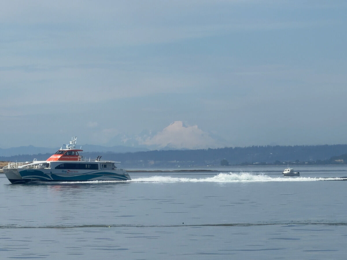 I think I was the only person enjoying the views on the ferry.
For everyone else, it was a normal weekday.
I think I was the only person enjoying the views on the ferry.
For everyone else, it was a normal weekday.
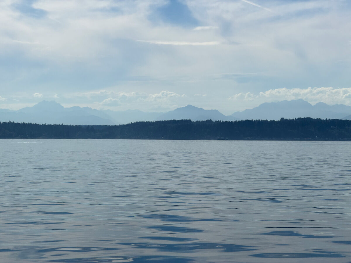 The classic Eastern Olympic peaks, still need to get out there!
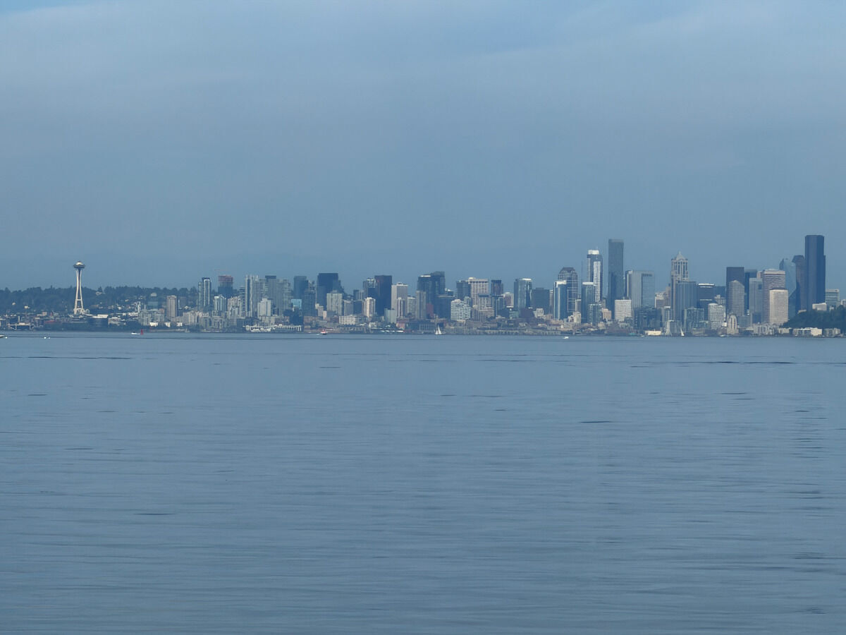 Home sweet home
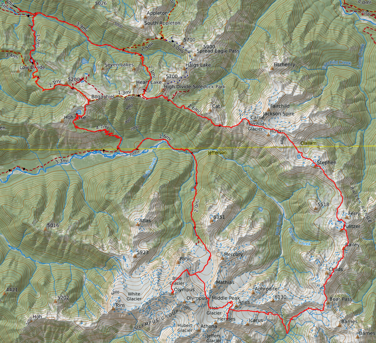 Our actual route
Notes
- This was probably ~70 miles and ~24000 feet of vertical gain over four days.
- I wore La Sportiva TX4s for this traverse thinking I could just bring a single pair of shoes but I really should have brought trail runners and a rock shoe for the final climb. Currently dealing with Achilles pain as I write this due to over-tightening my heel :(
- The Kahtoola KTS crampons were so good and much more secure than my Petzl Irvis Hybrids, so I’d be more comfortable wearing a flexier trail running shoe next time